Chopawamsic Creek
- Saltwater
- Tidal creek
Chopawamsic Creek
- Saltwater
- Tidal creek
- Sq. miles
- 0.6
- Boat Ramps
- 0
- Access Points
- 0
- Species
- 3
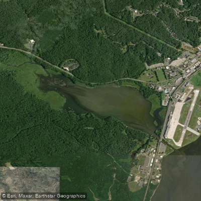
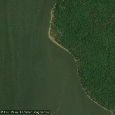
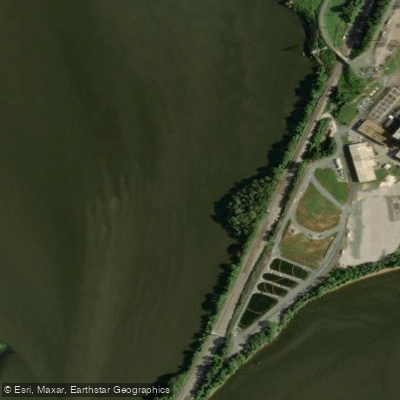
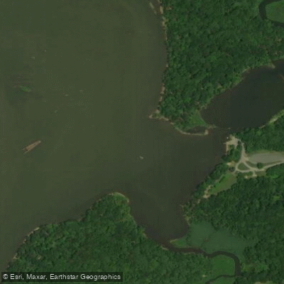
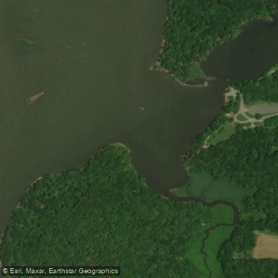
Chopawamsic Creek is a 6.8-mile-long tidal tributary of the Potomac River, flowing through Prince William and Stafford counties in Virginia. The creek is formed by the confluence of its North and South Branches near Breckenridge Reservoir and empties into the Potomac River south of Quantico, within the boundaries of Marine Corps Base Quantico. Its waters are primarily tidal and brackish, offering a mix of inshore saltwater and tidal freshwater fishing opportunities. The North Branch flows through the Chopawamsic Backcountry Area in Prince William Forest Park. The entire system is subject to significant tidal influence, with depth and navigability changing dramatically between high and low tide.
Species & education
Learn what type of fish are at Chopawamsic Creek and what's needed to catch them.

Find which waters have the species you want to catch

Largemouth Bass
Micropterus salmoides

Blue Catfish
Ictalurus furcatus
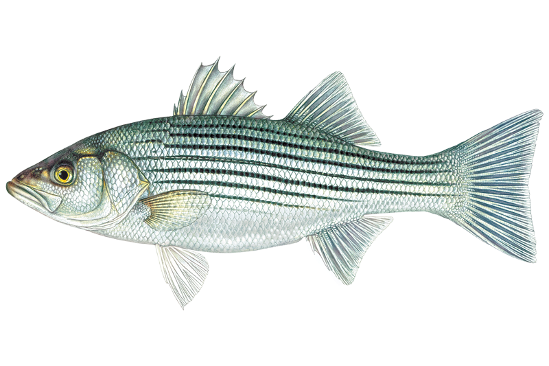
Striped Bass
Morone saxatilis
Fishing spots, boat ramps & amenities
Learn how to get on Chopawamsic Creek. Uncover great fishing access points, boat ramps, and all the facilities you need for an unforgettable day on the water. Some locations shown may border or include private property. Always check property boundaries and applicable regulations before visiting. onWater's Public & Private Land layer can help you plan your access with confidence.
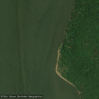
Wreck
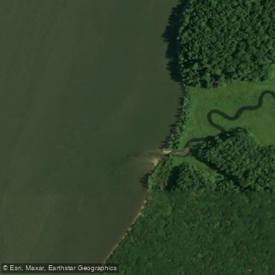
Wreck
Wreck
Wreck
Wreck
Wreck
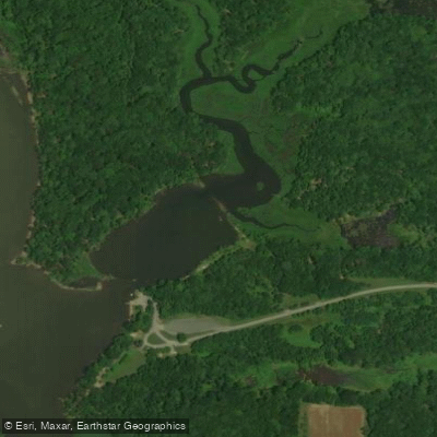
Wreck
Wreck
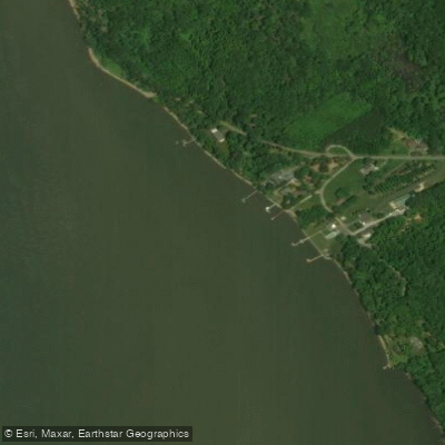
Wreck
Wreck
Know where you can legally fish on Chopawamsic Creek
See public and private land boundaries along the water, turn on private parcels with owner details to know where permission is required, and find land-trust parcels that offer permitted fishing access.
Virginia licenses and regulations

Virginia Boating Regulations
When using any type of watercraft to access a body of water, it is important to follow all federal, state, and local rules and regulations. These rules and regulations include boat permitting and licensing, invasive species inspections and stamps, life jacket and PFD rules, motor size and horsepower restrictions, noise limitations, restrictions on personal watercraft, and many more. Visit the web link below for the most current rules and regulations for this body of water.

Virginia Coastal & Inland Waters
Virginia uses a freshwater-saltwater demarcation line on tidal waters to determine which licence and which agency's rules apply. Saltwater regulations are set by the Virginia Marine Resources Commission, while the Department of Wildlife Resources handles freshwater rules; some tidal rivers have joint or overlapping zones. The DWR freshwater regulations page maps the demarcation lines so you can confirm which rules cover your exact spot.

Virginia Federal Waters & Offshore Rules
Once you fish beyond Virginia's state waters, NOAA Fisheries and the Mid-Atlantic Fishery Management Council set the rules for species such as summer flounder, black sea bass, and scup. For-hire vessels fishing federal waters need a Greater Atlantic Region Charter/Party Permit, and any vessel targeting tuna, billfish, swordfish, or sharks must carry a federal Atlantic Highly Migratory Species permit. Private recreational anglers targeting certain offshore species, including tilefish, also need a free federal permit and must file electronic trip reports.

Virginia Saltwater Fishing License
Most anglers 16 and older need a Virginia Saltwater Recreational Fishing License, issued by the Department of Wildlife Resources. Anglers who are exempt from the paid licence, such as those fishing from a licensed charter or headboat, must still register with the Virginia Marine Resources Commission's free Fisherman Identification Program. Additional exemptions exist for certain private-property situations; see the VMRC licensing page for the full list.

Virginia Saltwater Size & Bag Limits
Size and bag limits apply per species and can change throughout the year for Virginia's saltwater fisheries. The Virginia Marine Resources Commission sets and maintains the current rules, covering popular species such as striped bass, flounder, red drum, and cobia. Check the VMRC recreational fishing page for the current season-by-season table before you head out.

Virginia Shellfish Closures & Advisories
The Virginia Marine Resources Commission oversees recreational shellfish harvesting for oysters, clams, and crabs in state waters, and posts emergency closures when water-quality conditions require them. Areas can close due to rainfall-driven bacterial contamination, biotoxins, or other public-health concerns, and those closures can change quickly. Check the VMRC website for current closure notices and consumption advisories before harvesting any shellfish.
Take Chopawamsic Creek with you
The onWater Fish app keeps this water's access points, species and conditions in your pocket, with the tools you use once you're there.
Use the map without signal
Download the map around Chopawamsic Creek to use it offline when coverage drops.
Log your catches here
Keep a private fishing journal for Chopawamsic Creek to find where and when fish are biting for you.
Get the onWater Fish app
Free on iOS and Android
Tides, wind & water conditions (10 day forecast)
On open water, wind and tide matter as much as the weather. See the best times to fish Chopawamsic Creek and check the marine forecast before you launch.
Loading tide predictions…
Fishing near Chopawamsic Creek
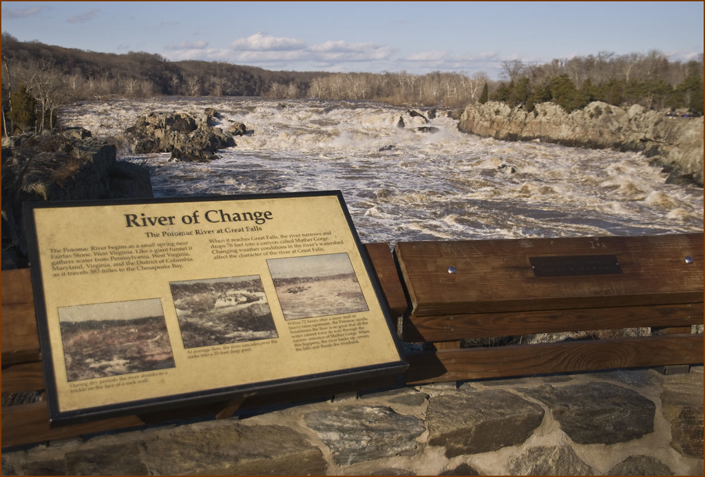
Potomac River
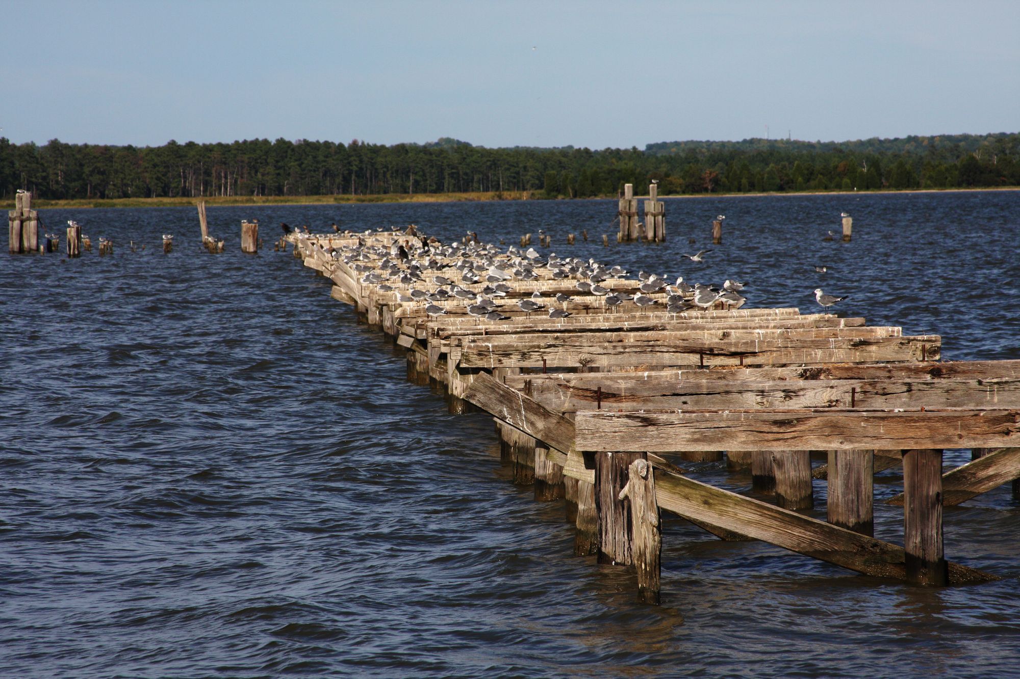
Rappahannock River
Potomac Creek
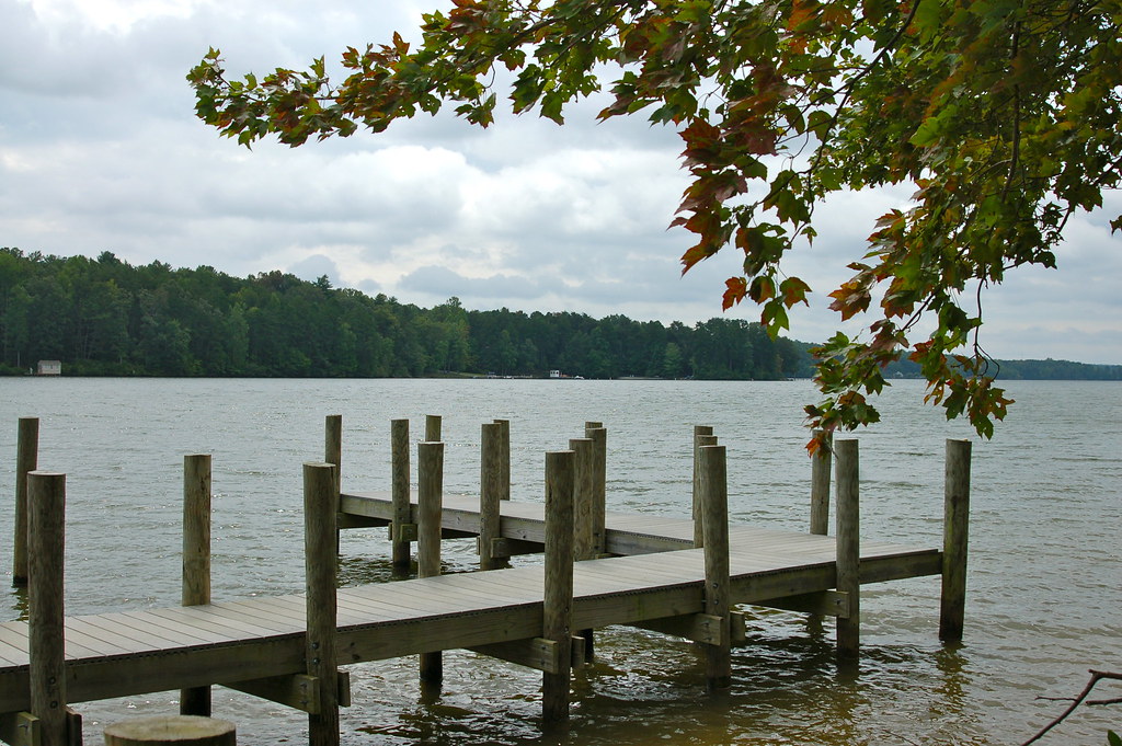
Lake Anna
James River
Aquia Creek
Patuxent River
Mattawoman Creek
Accokeek Creek
Chickahominy River
Explore Virginia waters
Top fishing waters
Popular Cities
Loading popular cities...
Explore near Chopawamsic Creek
Fish species
Fishing spots
Nearby waters
More in Virginia

Smarter Fishing Starts in the App.
onWater Fish gives you everything you need to plan smarter, fish better, and own every trip from first cast to last.