Trinity Bay
- Saltwater
- Bay
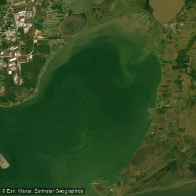
Trinity Bay
- Saltwater
- Bay
- Sq. miles
- 131
- Boat Ramps
- 4
- Access Points
- 3
- Species
- 15
Trinity Bay is a premier inshore fishing destination nestled within the Texas Gulf Coast's Galveston Bay system. This 20-mile-long bay, positioned between Galveston Bay and the Trinity River, is celebrated for its diverse and productive shallow-water habitats, including expansive flats, winding bayous, and rich marshes. It offers anglers a classic Texas inshore experience with reliable action for a variety of hard-fighting species, making it a top choice for both novice and experienced saltwater fishermen.
Species & education
Learn what type of fish are at Trinity Bay and what's needed to catch them.

Find which waters have the species you want to catch

Atlantic Croaker
Micropogonias undulatus

Atlantic Sharpnose Shark
Rhizoprionodon terraenovae

Black Drum
Pogonias cromis

Bull Shark
Carcharhinus leucas

Crevalle Jack
Caranx hippos

Ladyfish
Elops saurus

Lookdown
Selene vomer

Pinfish
Lagodon rhomboides

Redfish
Sciaenops ocellatus

Sheepshead
Archosargus probatocephalus

Southern Flounder
Paralichthys lethostigma

Southern Kingfish
Menticirrhus americanus

Spanish Mackerel
Scomberomorus maculatus

Spot
Leiostomus xanthurus

Spotted Seatrout
Cynoscion nebulosus
Fishing spots, boat ramps & amenities
Learn how to get on Trinity Bay. Uncover great fishing access points, boat ramps, and all the facilities you need for an unforgettable day on the water. Some locations shown may border or include private property. Always check property boundaries and applicable regulations before visiting. onWater's Public & Private Land layer can help you plan your access with confidence.
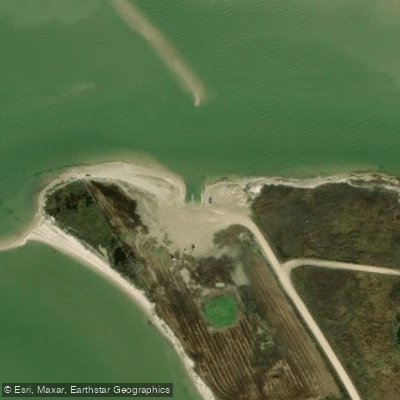
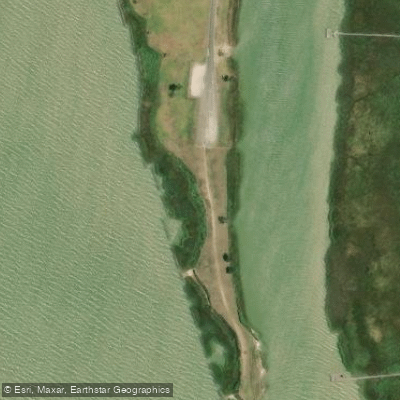
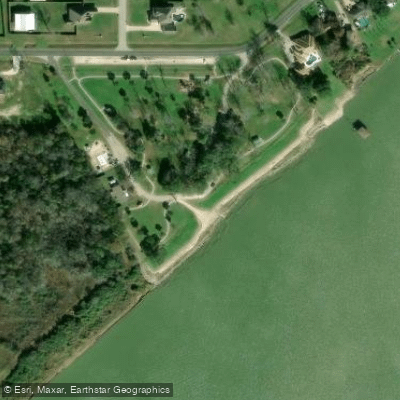
Know where you can legally fish on Trinity Bay
See public and private land boundaries along the water, turn on private parcels with owner details to know where permission is required, and find land-trust parcels that offer permitted fishing access.
Texas licenses and regulations

Texas Boating Regulations
When using any type of watercraft to access a body of water, it is important to follow all federal, state, and local rules and regulations. These rules and regulations include boat permitting and licensing, invasive species inspections and stamps, life jacket and PFD rules, motor size and horsepower restrictions, noise limitations, restrictions on personal watercraft, and many more. Visit the web link below for the most current rules and regulations for this body of water.

Texas Coastal & Inland Waters
A saltwater endorsement is required to fish Texas coastal waters, while a freshwater endorsement covers inland waters, and some waters require both. Texas Parks and Wildlife defines where each endorsement applies, including specific boundary rules for reservoirs and tidal areas. Check the general fishing regulations for details on how waters are classified and which licence applies where.

Texas Federal Waters & Offshore Rules
Beyond state waters, federal rules managed by NOAA Fisheries and the regional fishery management councils apply, typically from 3 to 200 nautical miles offshore. Anglers targeting species such as tuna, billfish, swordfish, or sharks in federal waters must hold a federal Atlantic HMS vessel permit issued through NOAA Fisheries. You still need a valid Texas fishing license and saltwater endorsement to possess or land any fish taken in federal waters at a Texas port.

Texas Saltwater Fishing License
Anglers need a Texas fishing license with a saltwater endorsement to fish coastal waters, and Texas Parks and Wildlife issues it. Anglers under 17 and the oldest residents are exempt, as is everyone on the annual Free Fishing Day. Fishing from banks or piers inside Texas State Parks also needs no license.

Texas Saltwater Size & Bag Limits
Size and bag limits apply to every regulated saltwater species and can vary by region and time of year, with Texas Parks and Wildlife setting the rules. Headline species with specific slot, minimum, or bag limits include red drum, spotted seatrout, flounder, red snapper, and black drum. The current limits for all species are kept in the TPWD Outdoor Annual.

Texas Shellfish Closures & Advisories
Recreational harvest of oysters, clams, and mussels is only permitted in areas designated as approved or conditionally approved, and Texas DSHS can close any area at any time due to red tide, harmful algal blooms, heavy rainfall, flooding, or water quality events. Texas Parks and Wildlife sets recreational oyster seasons and possession limits, while DSHS tracks and posts the current open and closed status of all shellfish harvest areas. Check the DSHS shellfish harvest area map before you go, as status can change daily.
Take Trinity Bay with you
The onWater Fish app keeps this water's access points, species and conditions in your pocket, with the tools you use once you're there.
Use the map without signal
Download the map around Trinity Bay to use it offline when coverage drops.
Log your catches here
Keep a private fishing journal for Trinity Bay to find where and when fish are biting for you.
Get the onWater Fish app
Free on iOS and Android
Tides, wind & water conditions (10 day forecast)
On open water, wind and tide matter as much as the weather. See the best times to fish Trinity Bay and check the marine forecast before you launch.
Loading tide predictions…
Trinity Bay fishing guides
Book a trip with a local fishing guide through Guidesly.

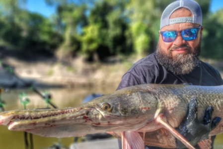
Fishing near Trinity Bay
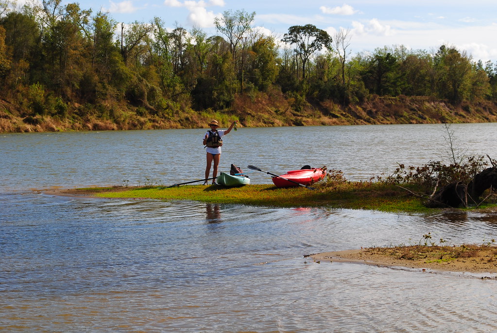
Trinity River
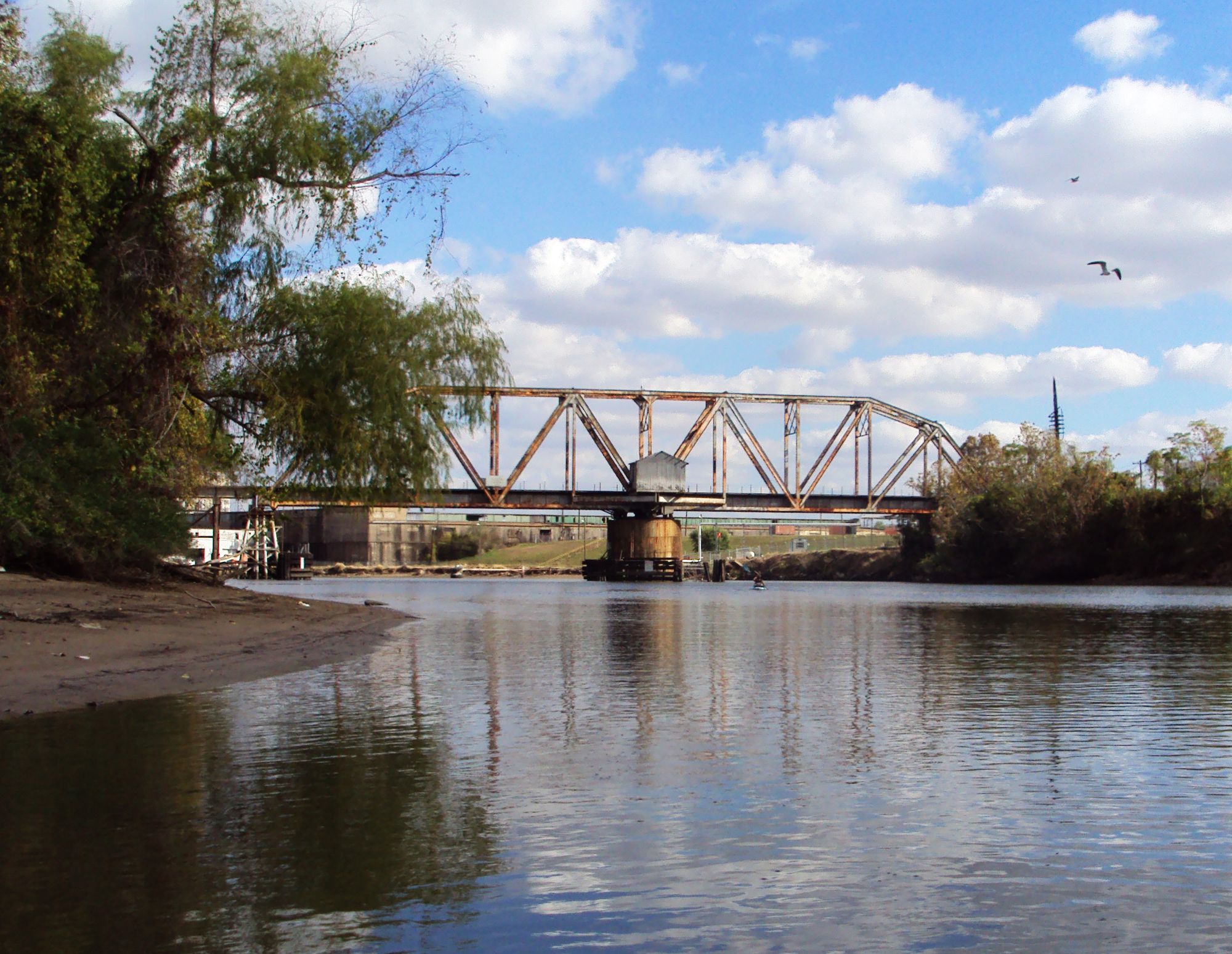
Buffalo Bayou
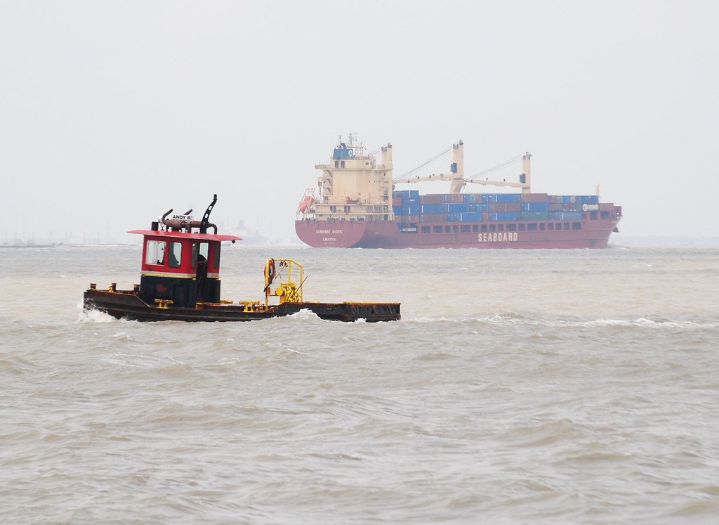
Galveston Bay
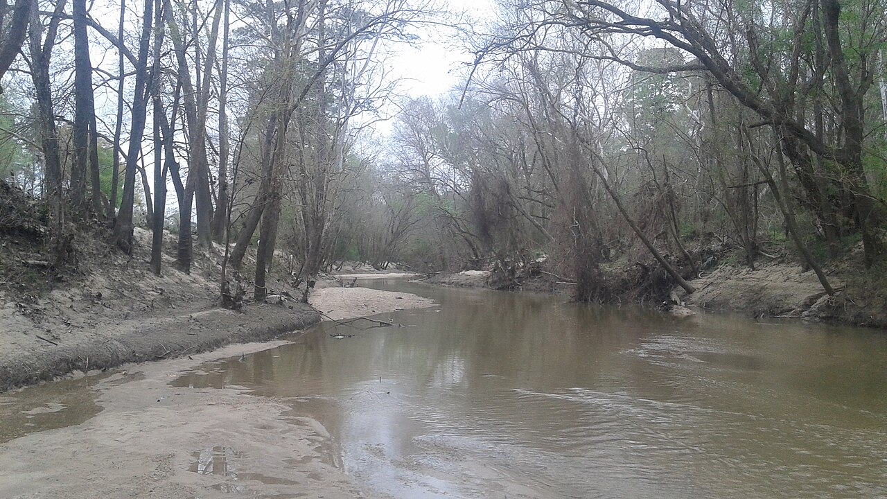
West Fork San Jacinto River

Brazos River
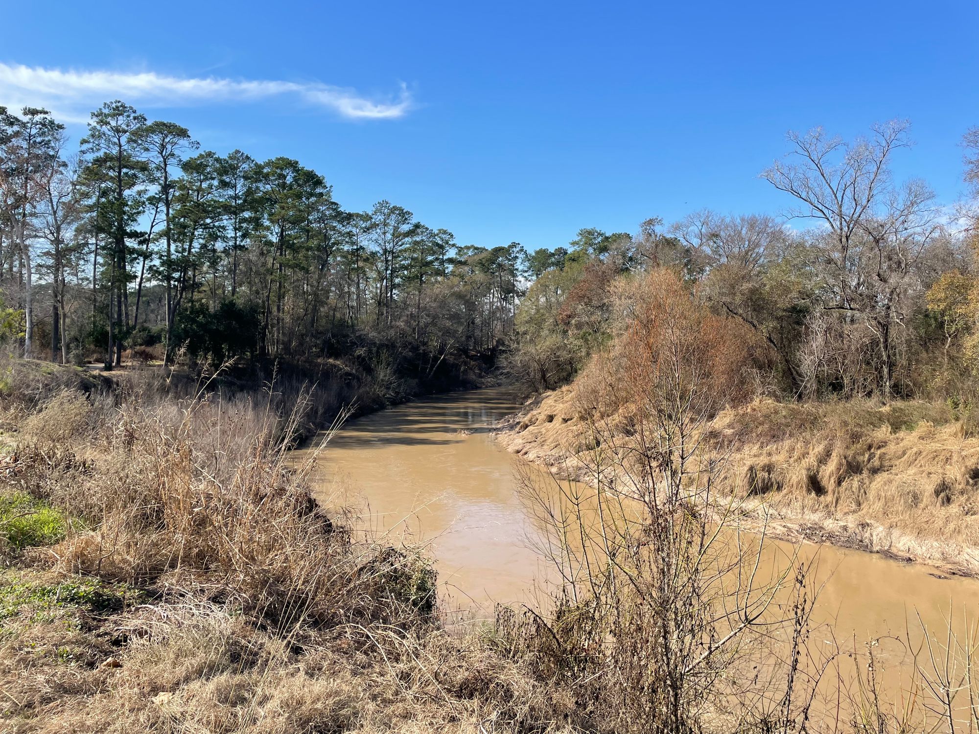
Cypress Creek
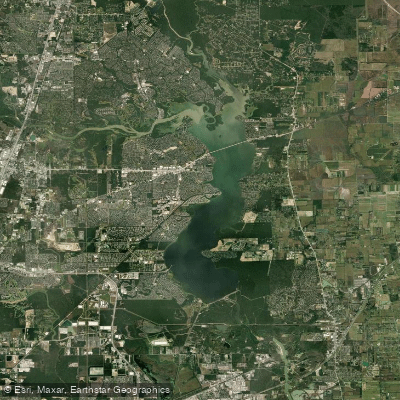
Lake Houston
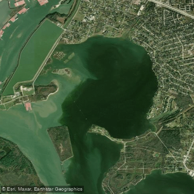
Burnet Bay
San Jacinto River
Explore Texas waters
Top fishing waters
Popular Cities
Loading popular cities...
Explore near Trinity Bay
Fish species
Fishing spots
Nearby waters
More in Texas

Smarter Fishing Starts in the App.
onWater Fish gives you everything you need to plan smarter, fish better, and own every trip from first cast to last.