Fishing in Pictured Rocks National Lakeshore
- National Lakeshore
- Open 24 hours
- Lakes
- 18
- Rivers
- 21
- Access
- 0
- Boat Ramps
- 1
- Shops
- 0
- Species
- 15
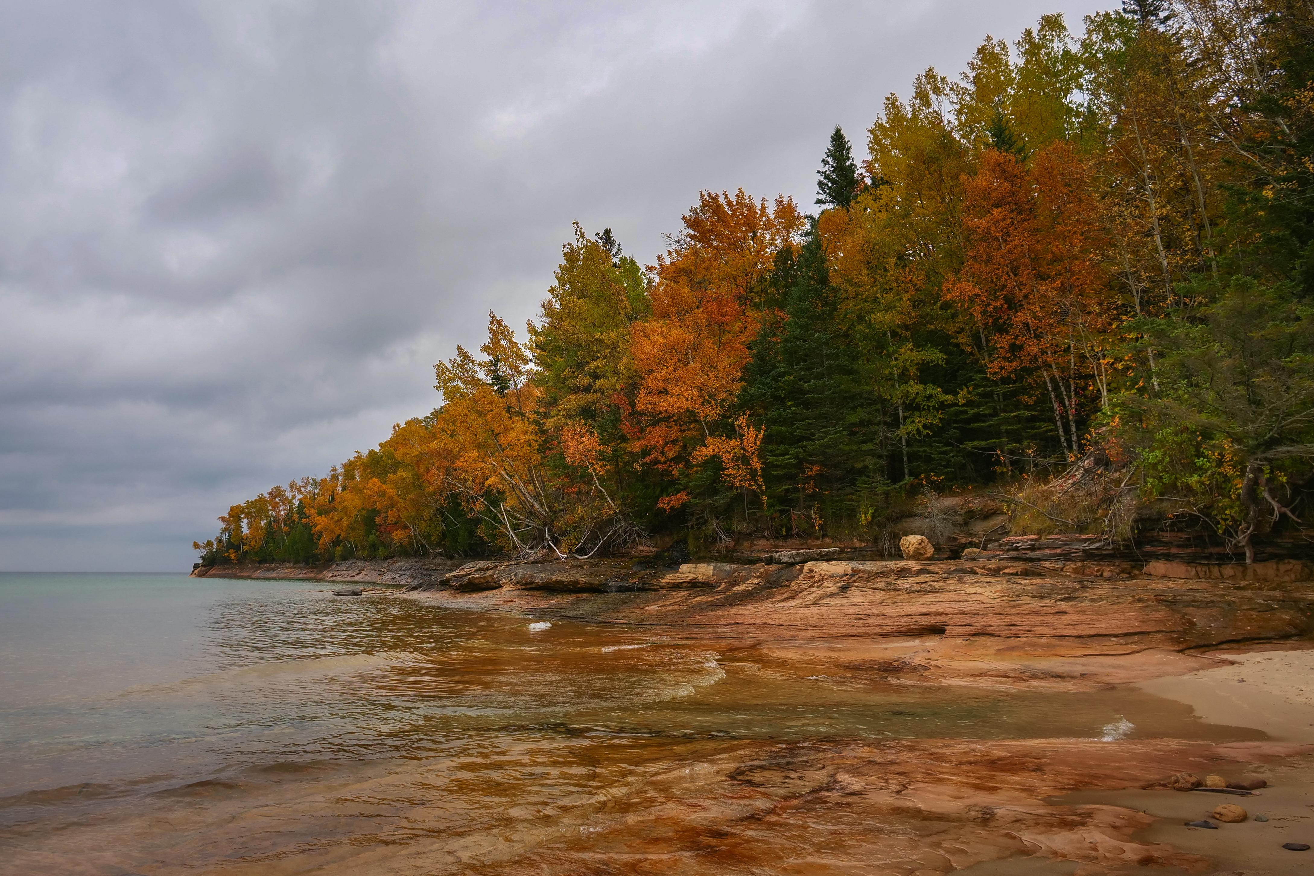
Pictured Rocks National Lakeshore runs more than 40 miles along the south shore of Lake Superior in Michigan's Upper Peninsula, between Munising and Grand Marais.
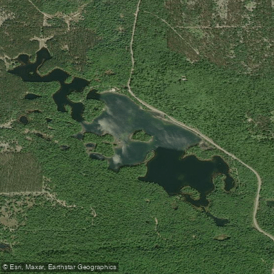
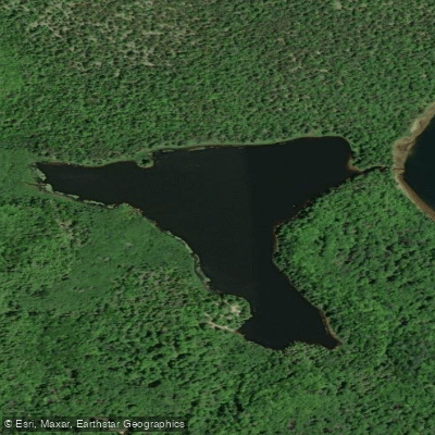
The park holds a mix of water types: the vast cold nearshore of Superior itself, interior lakes, and several streams and creeks that drain north through the sandstone and forest to the big lake.
Around 60 species of fish have been recorded in the park's lakes, streams, and nearshore waters combined. The streams draw the most attention from trout anglers.
The Mosquito River and Hurricane River both flow through the backcountry and have been part of coaster brook trout restoration work — coaster brook trout spend much of their life cycle in Lake Superior and use these tributaries for spawning and rearing.
Sevenmile Creek was also part of that restoration effort, and was the site of a study that removed non-native steelhead and coho salmon to observe the effect on native brook trout.
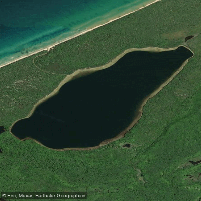
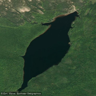
These aren't put-and-take fisheries; they're native fish systems with active management history behind them. The park's four largest interior lakes hold northern pike and yellow perch, among other species.
Brown trout and brook trout also appear in the park's fish inventory, along with burbot, cisco, and a range of smaller species. A Michigan fishing license is required.
No separate park fishing permit is needed, but anyone camping overnight in the backcountry — which is how most anglers access the more remote stream stretches — needs a backcountry camping permit through recreation. gov.
Kayakers accessing backcountry campsites must check in at a visitor center before heading out. The fishing here exists inside a conservation framework that shapes how you approach it.
Restoration work on coaster brook trout is ongoing across Lake Superior, and these streams are part of that larger effort. Fish the rivers with that in mind.
Species & education
Learn what type of fish are in Pictured Rocks National Lakeshore and what's needed to catch them.

Find which waters have the species you want to catch

Atlantic Salmon
Salmo salar

Black Bullhead
Ameiurus melas

Black Crappie
Pomoxis nigromaculatus
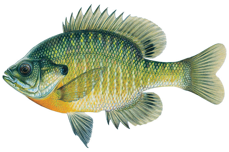
Bluegill Sunfish
Lepomis macrochirus

Brook Trout

Brown Bullhead
Ameiurus nebulosus

Brown Trout
Salmo trutta

Burbot
Lota lota

Channel Catfish
Ictalurus punctatus

Chinook Salmon

Cisco
Coregonus artedi
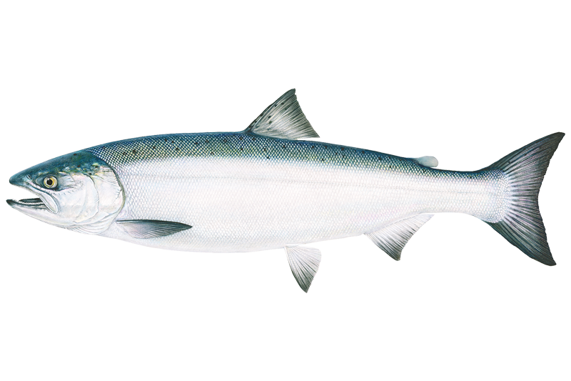
Coho Salmon

Common Carp
Cyprinus carpio
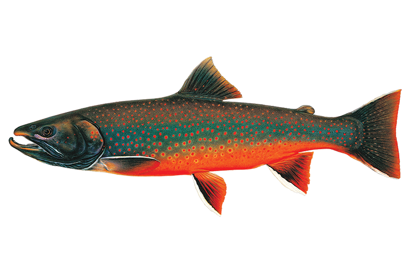
Dolly Varden
Salvelinus malma

Freshwater Drum
Aplodinotus grunniens
Water and weather conditions (10 day forecast)
See the best times to fish Pictured Rocks National Lakeshore and check the forecast before you go.
No forecast data available.
Park alerts & road status
Closures and conditions Pictured Rocks National Lakeshore has posted, from the National Park Service.
Checking the park's alerts…
Hours & fees
When Pictured Rocks National Lakeshore is open and what it costs to get in, from the National Park Service.
Hours
Open 24 hoursPictured Rocks National Lakeshore is open year-round, 24 hours a day, though most roads are closed by snow in the winter. Sand Point Road is the only park road plowed in winter.
Entrance fees
- Entrance - Private Vehicle$25
- This pass admits the driver and all passengers in a private-use vehicle for seven consecutive days to all areas of Pictured Rocks National Lakeshore. This fee does not cover additional fees associated with activities such as camping or commercial tours.
- Entrance - Motorcycle$20
- Valid for 7 days. Admits up to 2 private, non-commercial motorcycles with up to 4 total passengers to all areas of Pictured Rocks National Lakeshore. This fee does not cover additional fees associated with activities such as camping or commercial tours.
- Entrance - Snowmobile$15
- This pass admits a snowmobile to all parts of Pictured Rocks National Lakeshore for 7 consecutive days. This fee does not cover additional fees associated with activities such as camping or commercial tours.
- Entrance - Per Person$15
- This pass admits one walk-in, bicycle-in, or boat-in person to all parts of Pictured Rocks National Lakeshore. This fee does not cover additional fees associated with activities such as camping or commercial tours.
- Commercial Entrance - Sedan$25
- This admits a commercial sedan to all areas of Pictured Rocks National Lakeshore. The flat rate for this pass is $25, plus an additional $5 per person age 16+. This fee does not cover additional fees associated with activities such as camping or commercial tours.
Fishing guides near Pictured Rocks National Lakeshore
Book a trip with a local fishing guide through Guidesly.

Fish smarter with real-time insights
Whether you're en route and conditions shift or you're looking for the best spot based on current flows, we enable you to make informed decisions on the fly.




Fishing near Pictured Rocks National Lakeshore
Loading...
Other parks in Michigan
Gateway towns
Where to base yourself for fishing in Pictured Rocks National Lakeshore.
- MunisingMI
Main gateway with the park visitor center, boat cruise dock, kayak outfitters, and most lodging options.
- Grand MaraisMI
Small town at the eastern end of the lakeshore, with access to the dunes, beaches, and backcountry trailheads on that side.
Pictured Rocks National Lakeshore fishing rules
The park's own rules, on top of Michigan licenses and regulations. Limits, fees and closures change, so check the park's page before you go.

Michigan Fishing License Required
You need a valid Michigan fishing license to fish anywhere in the park. Anglers under 17 are exempt. Check the Michigan DNR for current license types and fees.

Follow Michigan DNR Regulations
All fishing in the park follows State of Michigan rules unless the park states otherwise. Contact the park directly for any lakeshore-specific regulation details.

Ice Fishing Parking Rules
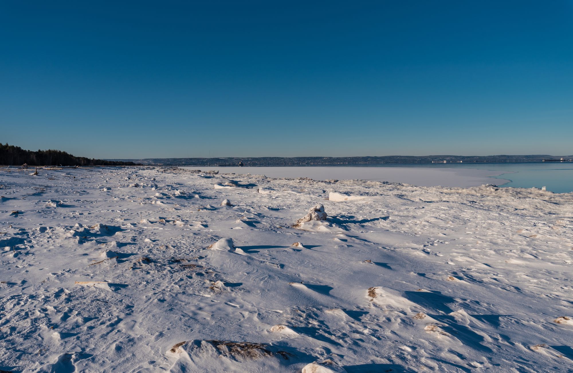
When ice fishing at Sand Point, you must park in designated spaces only. The loading zone is for temporary unloading of gear and shanties, not parking.

Check Ice Conditions Yourself
Currents and wave action can make ice thickness vary dramatically across Munising Bay. It is solely your responsibility to confirm the ice is safe before heading out.
Explore Pictured Rocks National Lakeshore
Top fishing waters
Popular Cities
Loading popular cities...

Smarter Fishing Starts in the App.
onWater Fish gives you everything you need to plan smarter, fish better, and own every trip from first cast to last.