Fishing in Missouri National Recreational River
- National Wild & Scenic River
- Open 24 hours
- Lakes
- 0
- Rivers
- 32
- Access
- 2
- Boat Ramps
- 17
- Shops
- 0
- Species
- 15
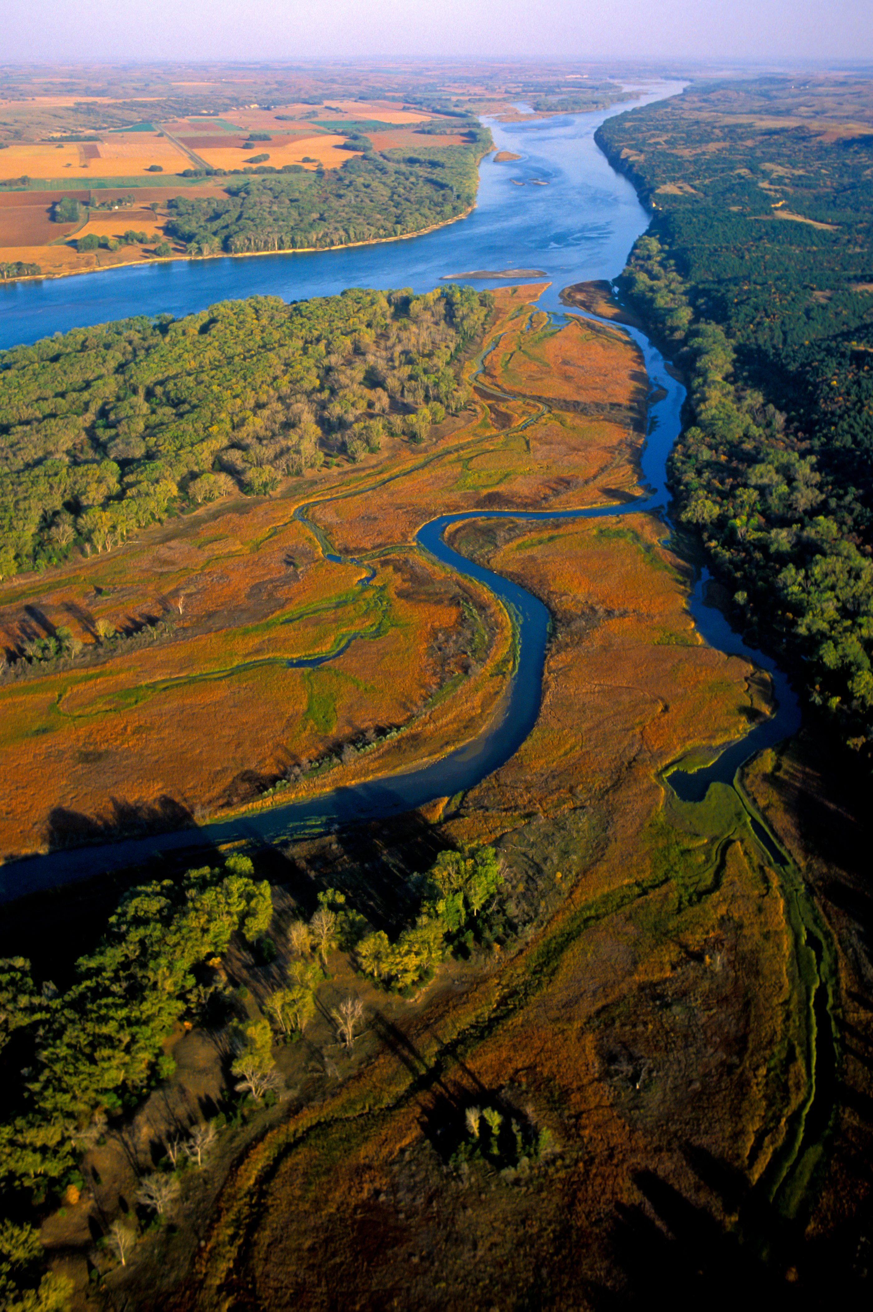
The Missouri National Recreational River protects two stretches of the Missouri River that remain essentially as Lewis and Clark found them — undammed, unchannelized, and still doing what big rivers do: cutting new channels, building sandbars, shifting course.
The upper reach runs 39 miles between Fort Randall Dam and Niobrara, Nebraska; the lower reach covers 59 miles from Gavins Point Dam down to Ponca State Park.
Together they form the only sections of the Missouri between Montana and the river's mouth that haven't been locked in place.
The last 20 miles of the Niobrara River and 6 miles of Verdigre Creek were added to the designation in 1991, rounding out a park that spans the Nebraska–South Dakota border.
The river here is wide, turbid, and fast-moving in places, with the islands, sloughs, snags, and shifting sandbars that define a working Great Plains river. That character shapes the fishing. This is not a tailwater trout fishery or a quiet reservoir.
It's a big-water system where reading structure matters and conditions change with the season.
The park is co-managed by the National Park Service alongside the Army Corps of Engineers, the National Fish and Wildlife Service, and the states of Nebraska and South Dakota.
Fishing regulations follow the state in which you're standing — Nebraska or South Dakota — so anglers should confirm which state's license applies to their specific access point before heading out.
Fishing tournaments and organized river events require a Special Use Permit from the park; contact the NPS for current requirements. The park is set up primarily for boaters, and most serious fishing happens from the water.
Bank access exists but the Missouri's steep, muddy, and sometimes unstable banks make reaching the river on foot a real consideration.
Visitor centers at Ponca State Park, Niobrara State Park, and the Lewis and Clark Visitor Center at Gavins Point Dam are the practical starting points for trip planning.
What makes this water worth the effort is exactly what makes it hard: it's one of the last places on the Missouri where the river still runs on its own terms.
Top waters to fish near Missouri National Recreational River

Missouri River
James River
Niobrara River
Choteau Creek
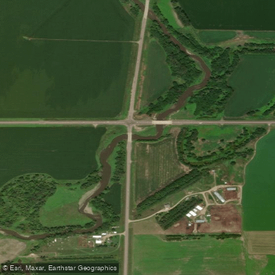
Vermillion River
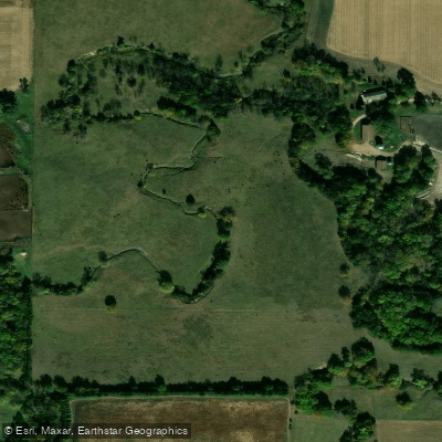
Antelope Creek
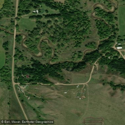
Ponca Creek
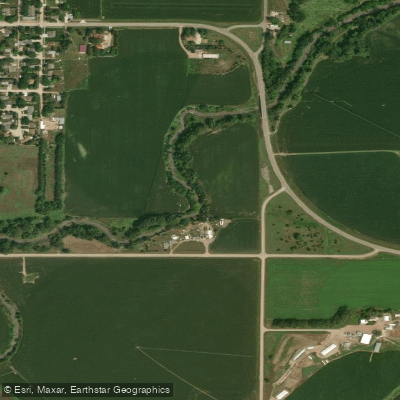
Bow Creek
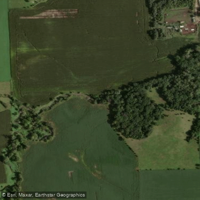
Beaver Creek
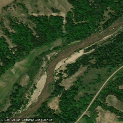
Verdigre Creek
Species & education
Learn what type of fish are in Missouri National Recreational River and what's needed to catch them.

Find which waters have the species you want to catch

American Eel
Anguilla rostrata

American Paddlefish
Polyodon spathula

Arctic Grayling
Thymallus arcticus

Bighead Carp
Hypophthalmichthys nobilis
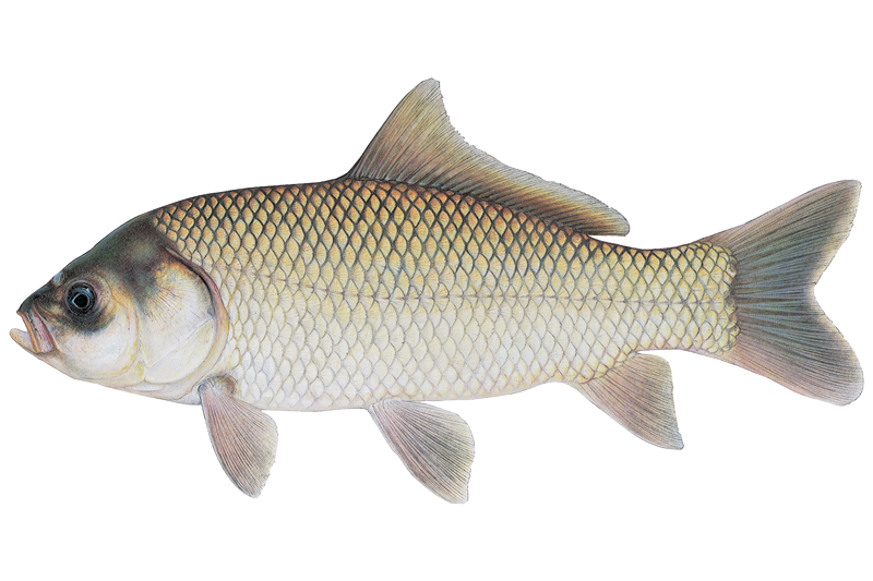
Bigmouth Buffalo
Ictiobus cyprinellus

Black Buffalo
Ictiobus niger

Black Bullhead
Ameiurus melas

Black Crappie
Pomoxis nigromaculatus

Blue Catfish
Ictalurus furcatus
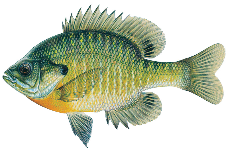
Bluegill
Lepomis macrochirus

Blue Sucker
Cycleptus elongatus

Brook Trout
Salvelinus fontinalis

Brown Trout
Salmo trutta

Burbot
Lota lota

Channel Catfish
Ictalurus punctatus
Water and weather conditions (10 day forecast)
See the best times to fish Missouri National Recreational River and check the forecast before you go.
No forecast data available.
Park alerts & road status
Closures and conditions Missouri National Recreational River has posted, from the National Park Service.
Checking the park's alerts…
Hours & fees
When Missouri National Recreational River is open and what it costs to get in, from the National Park Service.
Hours
Open 24 hoursThe entire park includes the 39-Mile District and 59-Mile District. Both districts are open 24 hours, seven days a week.
Entrance fees
No entrance fee is listed for this park.
Fishing guides near Missouri National Recreational River
Book a trip with a local fishing guide through Guidesly.

Erin Riibe
Riibe Outdoors
Seize the day on a fun trip - mighty fish awaits!
Book on Guidesly, opens in new tab
Otto Qualm
Qualm Guide Service
Book The Top South Dakota Fishing Guides Now!
Book on Guidesly, opens in new tab
Lawrence Walz III
Top Flight Hunts
Guided Hunting Trips in Nebraska’s Wild Lands
Book on Guidesly, opens in new tab
Joel Vasek
Missouri Valley Guide Service
Guided Hunting & Fishing in South Dakota
Book on Guidesly, opens in new tab
Fish smarter with real-time insights
Whether you're en route and conditions shift or you're looking for the best spot based on current flows, we enable you to make informed decisions on the fly.




Fishing near Missouri National Recreational River
Loading...
Other parks in Nebraska
Gateway towns
Where to base yourself for fishing in Missouri National Recreational River.
- YanktonSD
Park headquarters is here; start your visit, get ranger info, and access the 59-mile reach from Gavins Point Dam nearby.
- NiobraraNE
Serves the 39-mile upper reach with canoe and kayak rentals and guided fishing and hunting outfitters based in town.
- PoncaNE
Ponca State Park anchors the downstream end of the 59-mile reach and hosts one of the park's visitor centers.
Missouri National Recreational River fishing rules
The park's own rules, on top of Nebraska licenses and regulations. Limits, fees and closures change, so check the park's page before you go.

State fishing license required
The Missouri National Recreational River sits on the border of Nebraska and South Dakota, and both states' license rules apply. A valid license from either state lets you fish the border waters, but check both states' current requirements before you go.

Single attended pole only
Wild and Scenic River rules limit you to one pole at a time, and it must be attended. Chumming or baiting the water is not allowed.

All sturgeon season closed
The pallid sturgeon is federally listed as threatened and endangered. Because it is hard to tell apart from the shovelnose and lake sturgeon, fishing for all sturgeon species is closed year-round.

Live bait rules apply
Use live bait with caution and follow all current regulations. South Dakota bans seining bait from the river below Gavins Point Dam. Always empty bait buckets back into the water they came from or on dry land.

No personal watercraft
Jet skis and similar personal watercraft are banned on all waters of the Missouri National Recreational River. This covers both Missouri River reaches, the Niobrara River in Knox County, and Verdigre Creek.
Explore Missouri National Recreational River
Top fishing waters
Popular Cities
Loading popular cities...

Smarter Fishing Starts in the App.
onWater Fish gives you everything you need to plan smarter, fish better, and own every trip from first cast to last.