Cold Springs Reservoir
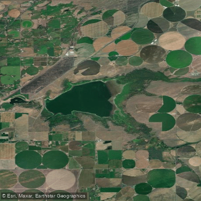
Cold Springs Reservoir
- Boat Ramps
- 1
- Access Points
- 1
- Species
- 7
Cold Springs Reservoir sits in north-central Oregon approximately two miles southeast of Hermiston, within the Cold Springs National Wildlife Refuge. Established by President Theodore Roosevelt in 1909 as one of the first refuges in the West, this 3,102-acre refuge encompasses a blend of open water, managed wetland, riparian, grassland, and shrub-steppe habitats. The reservoir overlays a Bureau of Reclamation water storage facility and has a holding capacity of 38,000 acre-feet. Uniquely, it draws from three water sources: Cold Springs Creek, a gravity-fed canal system from the Umatilla River, and water pumped through a canal system from the Columbia River (used infrequently during low-water years). Cold Springs Creek feeds the reservoir through a 26-mile feed canal that operates from November 1st until the reservoir fills or Umatilla River flows drop below target levels. The reservoir attracts large numbers of waterfowl and provides diverse habitat for numerous wildlife species, creating an often-overlooked gem within the National Wildlife Refuge System.
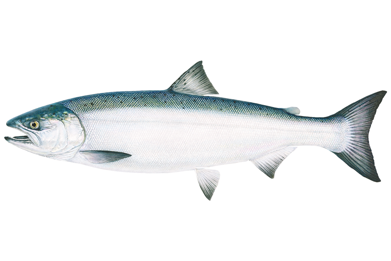
Species & education
Learn what type of fish are at Cold Springs Reservoir and what's needed to catch them.





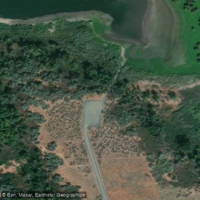
Fishing spots, boat ramps & amenities
Learn how to get on Cold Springs Reservoir. Uncover great fishing access points, boat ramps, and all the facilities you need for an unforgettable day on the water. Some locations shown may border or include private property. Always check property boundaries and applicable regulations before visiting. onWater's Public & Private Land layer can help you plan your access with confidence.
Know where you can legally fish on Cold Springs Reservoir
See public and private land boundaries along the water, turn on private parcels with owner details to know where permission is required, and find land-trust parcels that offer permitted fishing access.
Oregon licenses and regulations

Oregon Boating Regulations
When using any type of watercraft to access a body of water, it is important to follow all federal, state, and local rules and regulations. These rules and regulations include boat permitting and licensing, invasive species inspections and stamps, life jacket and PFD rules, motor size and horsepower restrictions, noise limitations, restrictions on personal watercraft, and many more. Visit the web link below for the most current rules and regulations for this body of water.

Oregon Fishing License
An Oregon fishing license is required for residents and non-residents, age 12 and over. You must carry your fishing license at all times while fishing in the State. Make sure you have the correct tags, catch cards and endorsements for the water bodies and species you are targeting.

Oregon Fishing Regulations
This river has a variety of species and regulations, including potential floating and/or watercraft restrictions. Because this river is specially managed for species, seasons, angling methods, and watercraft, it is strongly encouraged you check all federal, state, and local regulations before fishing. This river is prone to emergency regulations. Stay up to date on specific river regulation changes. Visit any of the links below, inquire locally, or contact a local fly shop to learn current regulations and restrictions.

Oregon Stream Access Laws
The people of Oregon are the owners of the submerged and submersible land (“beds and banks”) underlying all navigable and tidally influenced waterways. In most cases, this ownership extends to the line of ordinary high water or high tide, but ownership can be mixed, even along the same waterway. The Department of State Lands is responsible for management of publicly owned submerged and submersible land. The public has rights to use the beds and banks of navigable waterways for any legal activity, such as boating, fishing and swimming, including pulling your canoe or kayak onto the bank.
Take Cold Springs Reservoir with you
The onWater Fish app keeps this water's access points, species and conditions in your pocket, with the tools you use once you're there.
Use the map without signal
Download the map around Cold Springs Reservoir to use it offline when coverage drops.
Log your catches here
Keep a private fishing journal for Cold Springs Reservoir to find where and when fish are biting for you.
HD depth charts from Garmin
Find drop offs, ledges, channels, points and shallow flats with Garmin depth charts in the app.
Get the onWater Fish app
Free on iOS and Android
Water and weather conditions (10 day forecast)
See the best times to fish Cold Springs Reservoir and check the forecast before you go.
COLD SPRINGS RESERVOIR EXCHANGE CN NR HERMISTON, OR
All Flow Stations
Fishing near Cold Springs Reservoir
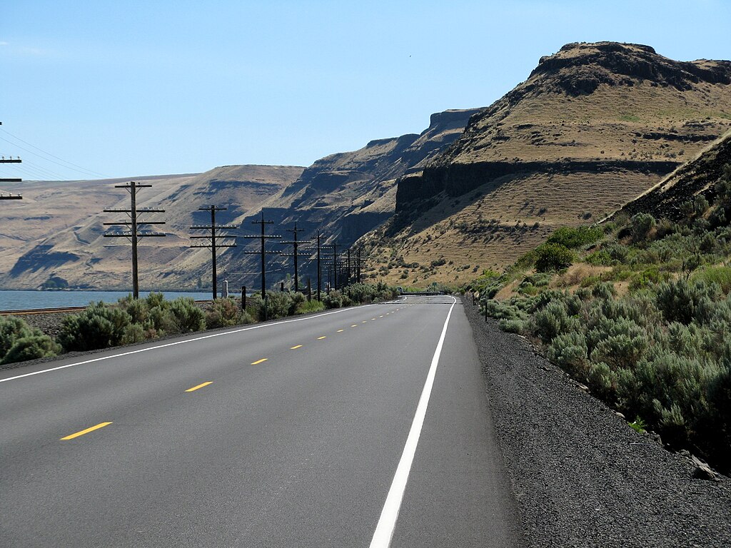
Lake Wallula
Columbia River
Snake River
Yakima River
Lake Sacajawea
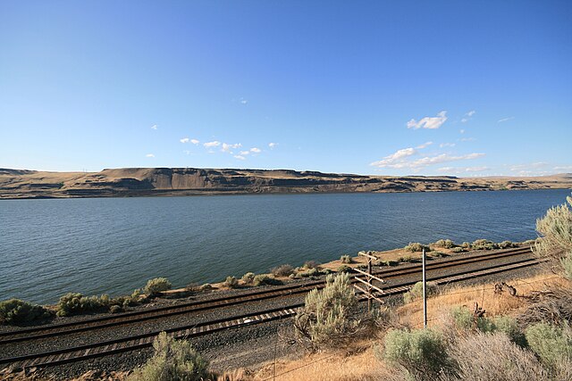
Lake Umatilla
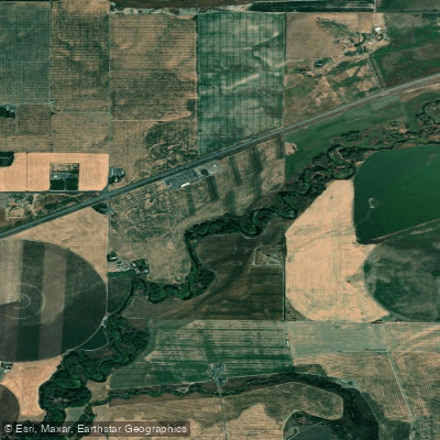
Walla Walla River
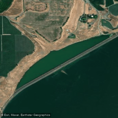
Emma Lake
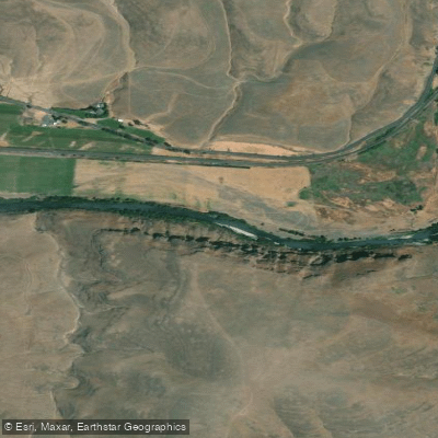
Umatilla River
Explore Oregon waters
Top fishing waters
Popular Cities
Loading popular cities...
Explore near Cold Springs Reservoir
Fish species
Fishing spots
Nearby waters
More in Oregon

Smarter Fishing Starts in the App.
onWater Fish gives you everything you need to plan smarter, fish better, and own every trip from first cast to last.