Brownlee Reservoir
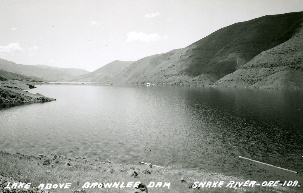
Brownlee Reservoir
- Boat Ramps
- 8
- Access Points
- 8
- Species
- 15
Brownlee Reservoir is a premier warmwater fishing destination spanning approximately 60 miles along the Oregon-Idaho border on the Snake River. This massive 11,000-15,000 acre impoundment boasts some of the Pacific Northwest's best fishing opportunities for a variety of species. With 190 miles of shoreline—much of it characterized by steep, rocky terrain—Brownlee offers diverse fishing environments from the upper reservoir near Farewell Bend down to Brownlee Dam. Situated at approximately 2,000 feet above sea level, this reservoir serves as the uppermost and most productive of the three Hells Canyon Complex reservoirs. The depth and structure of Brownlee create ideal habitats for numerous game fish species, making it a must-visit destination for anglers seeking quality fishing in a scenic desert canyon setting.
Species & education
Learn what type of fish are at Brownlee Reservoir and what's needed to catch them.

Find which waters have the species you want to catch

Largemouth Bass
Micropterus salmoides

Smallmouth Bass
Micropterus dolomieu

Rainbow Trout
Oncorhynchus mykiss

Black Crappie
Pomoxis nigromaculatus

Black Bullhead
Ameiurus melas

Bluegill Sunfish
Lepomis macrochirus

Channel Catfish
Ictalurus punctatus

Common Carp
Cyprinus carpio

Flathead Catfish
Pylodictis olivaris

Green Sunfish
Lepomis cyanellus

Mountain Whitefish
Prosopium williamsoni
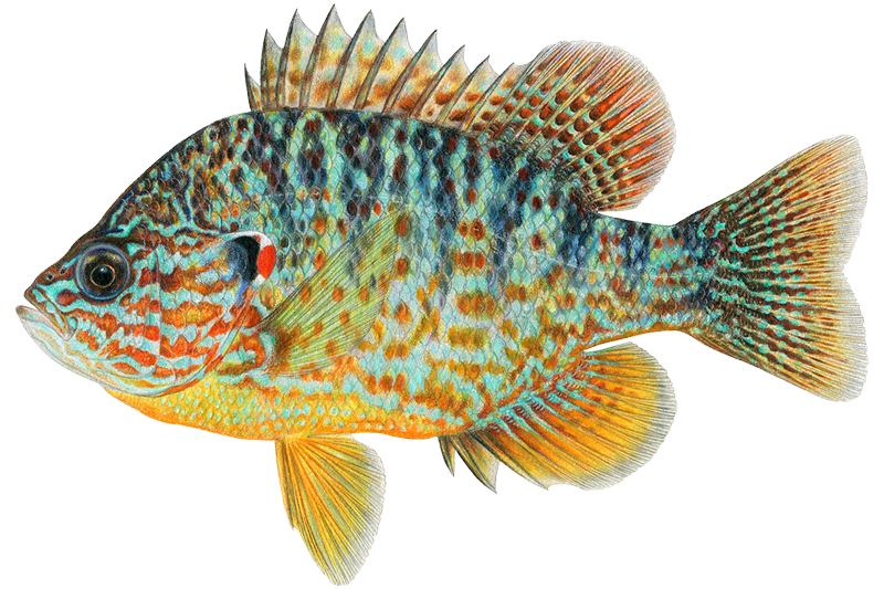
Pumpkinseed
Lepomis gibbosus

Steelhead
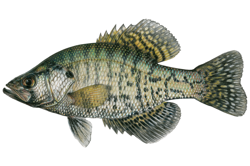
White Crappie
Pomoxis annularis

Yellow Perch
Perca flavescens
Fish stocking schedule
All stockings · 5
- White Sturgeon24 fish · AdultsOct 27, 2025
- White Sturgeon25 fish · 13.0 inMay 17, 2023
- White Sturgeon24 fish · AdultsMay 17, 2023
- White Sturgeon197 fish · AdultsApr 15, 2022
- White Sturgeon100 fish · 13.0 inApr 21, 2021
Source
Idaho Department of Fish and Game
Updated Nov 13, 2026. Sizes are the length the agency reports. Dates are as precise as the agency reports them.
Open stocking page, opens in new tabFishing spots, boat ramps & amenities
Learn how to get on Brownlee Reservoir. Uncover great fishing access points, boat ramps, and all the facilities you need for an unforgettable day on the water. Some locations shown may border or include private property. Always check property boundaries and applicable regulations before visiting. onWater's Public & Private Land layer can help you plan your access with confidence.
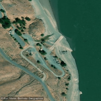
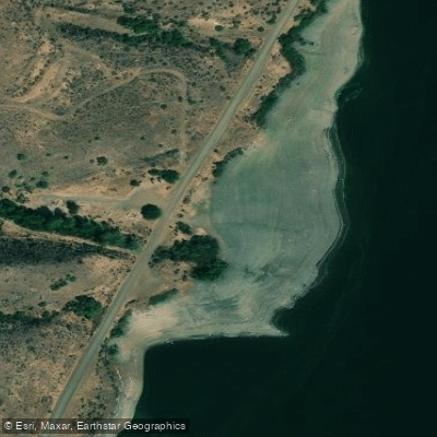
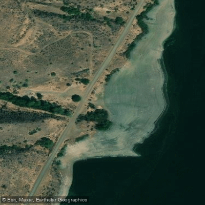
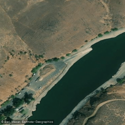
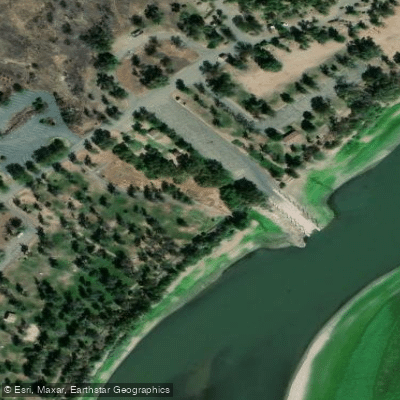
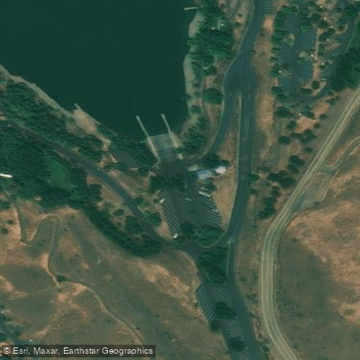
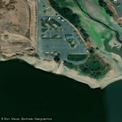
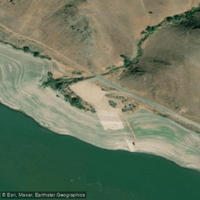
Know where you can legally fish on Brownlee Reservoir
See public and private land boundaries along the water, turn on private parcels with owner details to know where permission is required, and find land-trust parcels that offer permitted fishing access.
Oregon licenses and regulations

Oregon Boating Regulations
When using any type of watercraft to access a body of water, it is important to follow all federal, state, and local rules and regulations. These rules and regulations include boat permitting and licensing, invasive species inspections and stamps, life jacket and PFD rules, motor size and horsepower restrictions, noise limitations, restrictions on personal watercraft, and many more. Visit the web link below for the most current rules and regulations for this body of water.

Oregon Fishing License
An Oregon fishing license is required for residents and non-residents, age 12 and over. You must carry your fishing license at all times while fishing in the State. Make sure you have the correct tags, catch cards and endorsements for the water bodies and species you are targeting.

Oregon Fishing Regulations
This river has a variety of species and regulations, including potential floating and/or watercraft restrictions. Because this river is specially managed for species, seasons, angling methods, and watercraft, it is strongly encouraged you check all federal, state, and local regulations before fishing. This river is prone to emergency regulations. Stay up to date on specific river regulation changes. Visit any of the links below, inquire locally, or contact a local fly shop to learn current regulations and restrictions.

Oregon Stream Access Laws
The people of Oregon are the owners of the submerged and submersible land (“beds and banks”) underlying all navigable and tidally influenced waterways. In most cases, this ownership extends to the line of ordinary high water or high tide, but ownership can be mixed, even along the same waterway. The Department of State Lands is responsible for management of publicly owned submerged and submersible land. The public has rights to use the beds and banks of navigable waterways for any legal activity, such as boating, fishing and swimming, including pulling your canoe or kayak onto the bank.
Take Brownlee Reservoir with you
The onWater Fish app keeps this water's access points, species and conditions in your pocket, with the tools you use once you're there.
Use the map without signal
Download the map around Brownlee Reservoir to use it offline when coverage drops.
Log your catches here
Keep a private fishing journal for Brownlee Reservoir to find where and when fish are biting for you.
HD depth charts from Garmin
Find drop offs, ledges, channels, points and shallow flats with Garmin depth charts in the app.
Get the onWater Fish app
Free on iOS and Android
Water and weather conditions (10 day forecast)
See the best times to fish Brownlee Reservoir and check the forecast before you go.
No forecast data available.
Fishing near Brownlee Reservoir
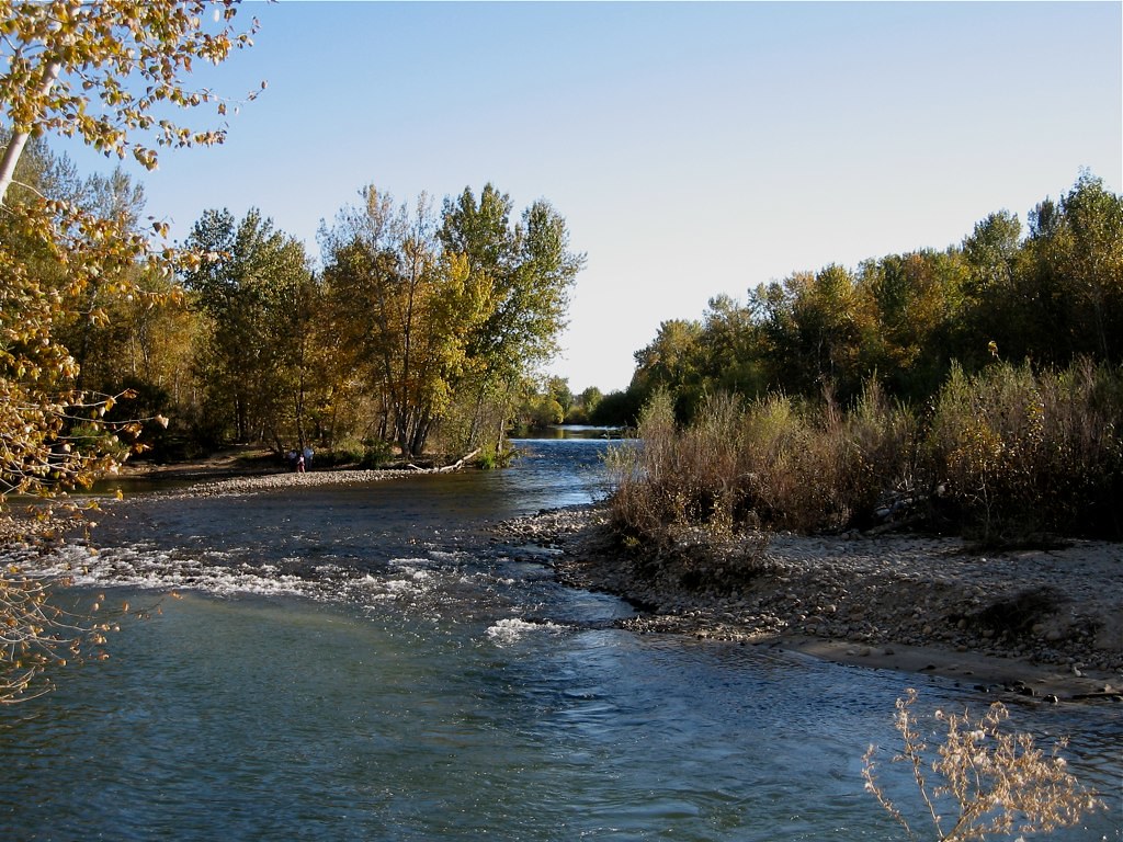
Boise River
Snake River
Owyhee River
Lake Owyhee
Malheur River
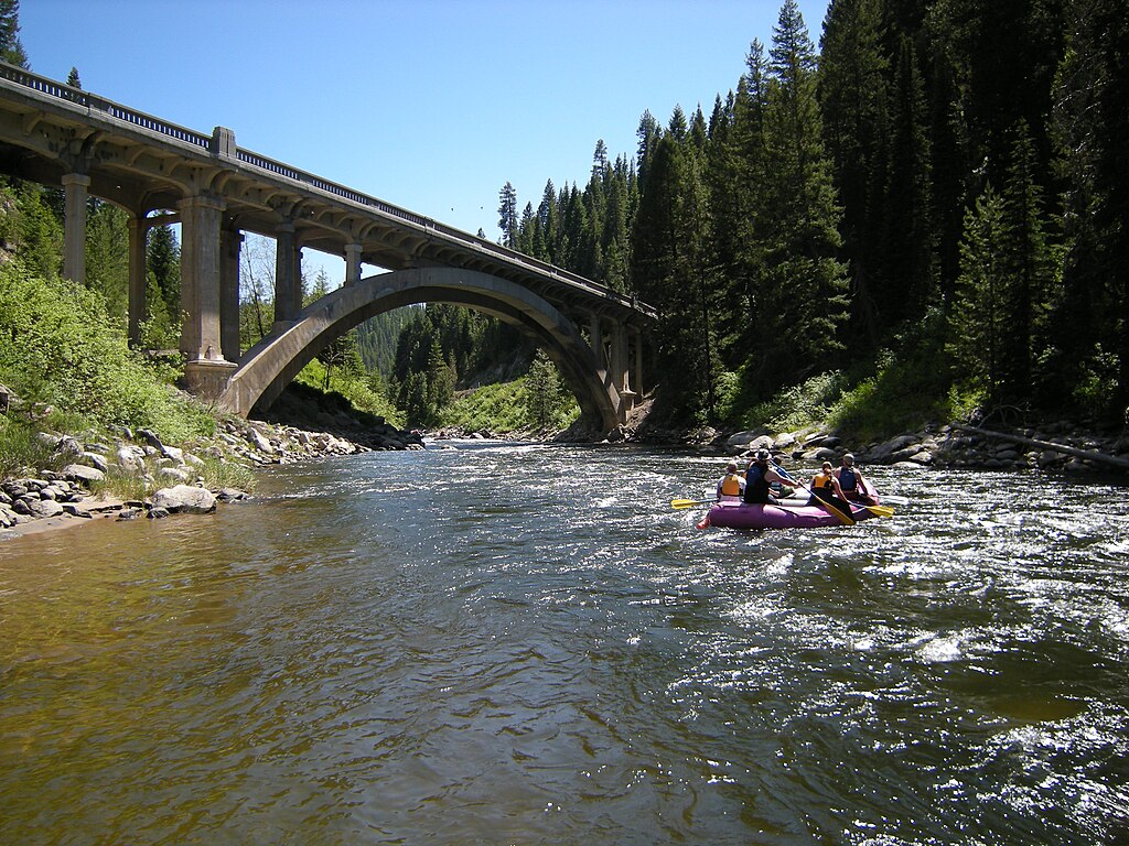
North Fork Payette River
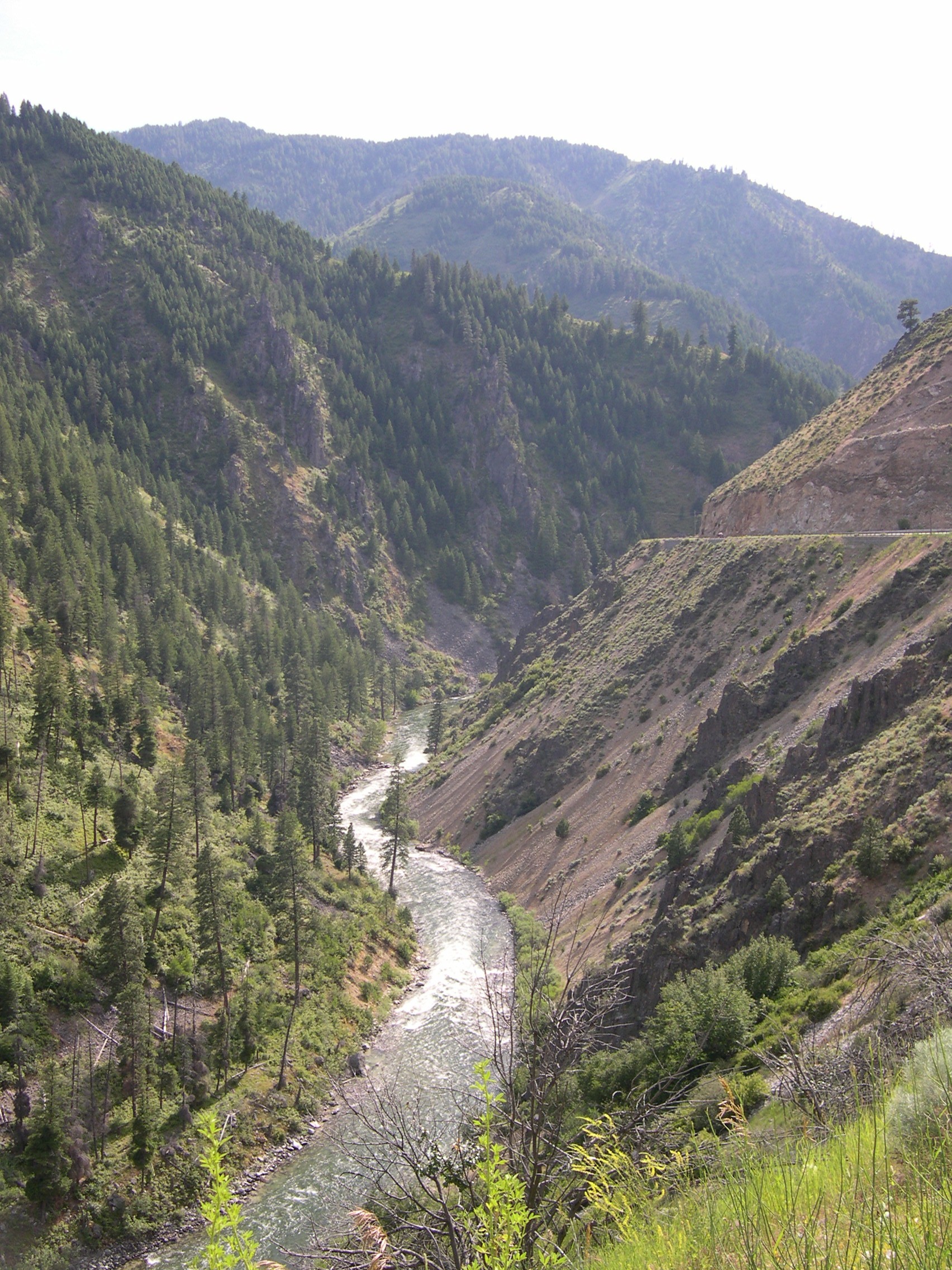
South Fork Payette River
Willow Creek
Lake Lowell
Explore Oregon waters
Top fishing waters
Popular Cities
Loading popular cities...
Explore near Brownlee Reservoir
Fish species
Fishing spots
- Spring Recreation Site Boat Ramp
- Swede's Landing Boat Ramp
- Swede's Landing Boat Ramp
- Hewitt Park Boat Ramp
- Farewell Bend Boat Ramp
- Woodhead Park Boat Ramp
- John Noble Holcomb Boat Ramp
- Steck Park Boat Ramp
- Benson Creek Bridge
- Birch Creek Bridge
- Powder R (snake River Rd Bridge
- Burnt Ruprr(snake R Rd) Bridge
- All 82 spots
Nearby waters
More in Oregon

Smarter Fishing Starts in the App.
onWater Fish gives you everything you need to plan smarter, fish better, and own every trip from first cast to last.