Lake of the Arbuckles

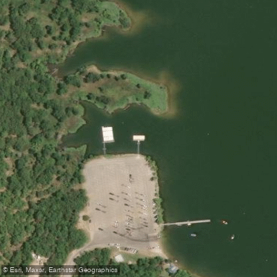
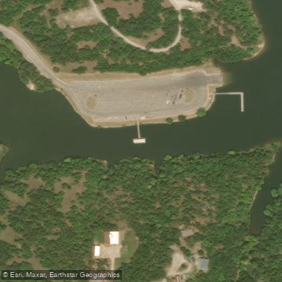
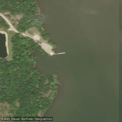
Boat Ramps
6
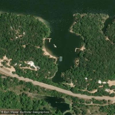
Access Points
11
Species
15

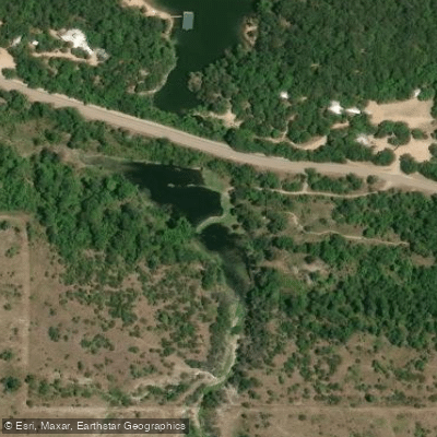
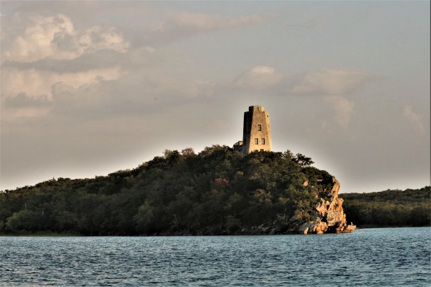
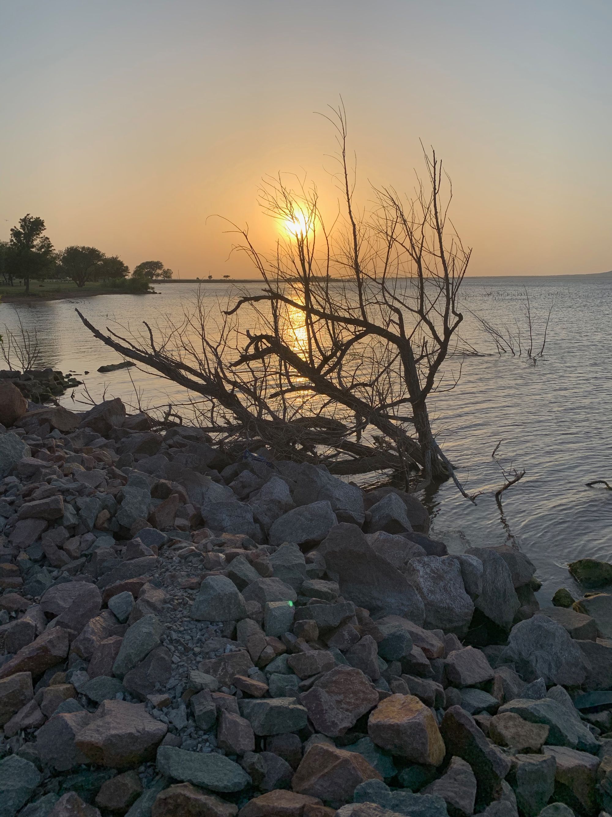
Lake of the Arbuckles is a 2,350-acre reservoir located in south-central Oklahoma within the Chickasaw National Recreation Area. Created in 1966 by the Bureau of Reclamation, the lake formed at the confluence of Buckhorn, Guy Sandy, and Rock Creeks at the northern end of the Arbuckle Mountains. Known for its crystal-clear blue water with six to eight-foot visibility, the lake boasts 36 miles of shoreline with secluded coves perfect for fishing. With a maximum depth of nearly 80 feet and total capacity of 108,839 acre-feet, it's considered one of Oklahoma's premier fishing destinations and has even been rated as the best bass fishing lake in the state by the Oklahoma Department of Wildlife Conservation.
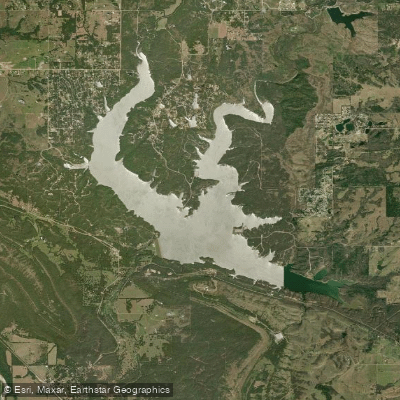

Fishing spots, boat ramps & amenities

Learn how to get on Lake of the Arbuckles. Uncover great fishing access points, boat ramps, and all the facilities you need for an unforgettable day on the water. Some locations shown may border or include private property. Always check property boundaries and applicable regulations before visiting. onWater's Public & Private Land layer can help you plan your access with confidence.

Know where you can legally fish on Lake of the Arbuckles

See public and private land boundaries along the water, turn on private parcels with owner details to know where permission is required, and find land-trust parcels that offer permitted fishing access.

Recreational permits for Lake of the Arbuckles

What you need to float or boat Lake of the Arbuckles, and when to apply.

Lake of the Arbuckles boat permit

Boater pass · Motorboats · Required year-round

Any vessel with a motor on board needs a Chickasaw boat permit to operate on Lake of the Arbuckles, daily from the fee machines or annual online.

Checked Nov 4, 2026 with Chickasaw National Recreation Area

Take Lake of the Arbuckles with you

The onWater Fish app keeps this water's access points, species and conditions in your pocket, with the tools you use once you're there.

  • Use the map without signal

    Download the map around Lake of the Arbuckles to use it offline when coverage drops.

  • Log your catches here

    Keep a private fishing journal for Lake of the Arbuckles to find where and when fish are biting for you.

  • HD depth charts from Garmin

    Find drop offs, ledges, channels, points and shallow flats with Garmin depth charts in the app.

Get the onWater Fish app

Free on iOS and Android

Water and weather conditions (10 day forecast)

See the best times to fish Lake of the Arbuckles and check the forecast before you go.

Lake of the Arbuckles and Arbuckle Dam

Loading flow chart…
Latest
10 yr average

Smarter Fishing Starts in the App.

onWater Fish gives you everything you need to plan smarter, fish better, and own every trip from first cast to last.