Foundry Cove
- Saltwater
- Cove
Foundry Cove
- Saltwater
- Cove
- Sq. miles
- 0.2
- Boat Ramps
- 1
- Access Points
- 0
- Species
- 1
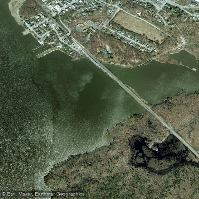
Foundry Cove is a well-defined freshwater tidal inlet of the Hudson River located in the Village of Cold Spring, Putnam County, within the scenic Hudson Highlands. The cove is bordered by marshes and mudflats and is tidally influenced, with water that is generally fresh but can reach a salinity of 2-6 parts per thousand during periods of low freshwater flow. A railroad trestle divides the cove into East and West Foundry Cove; flow from the Hudson into West Foundry Cove is unrestricted, while access to East Foundry Cove is restricted to a 65-foot-wide passage under the trestle. The area is part of a significant tidal habitat and is adjacent to Constitution Marsh Audubon Sanctuary, creating a haven for waterfowl and migratory birds. Historically, the cove was severely contaminated by cadmium and nickel pollution from a former battery manufacturing plant, leading to a major Superfund cleanup, though ongoing environmental monitoring is a key aspect of the location.
Species & education
Learn what type of fish are at Foundry Cove and what's needed to catch them.

Find which waters have the species you want to catch

Bluefish
Pomatomus saltatrix
Fishing spots, boat ramps & amenities
Learn how to get on Foundry Cove. Uncover great fishing access points, boat ramps, and all the facilities you need for an unforgettable day on the water. Some locations shown may border or include private property. Always check property boundaries and applicable regulations before visiting. onWater's Public & Private Land layer can help you plan your access with confidence.
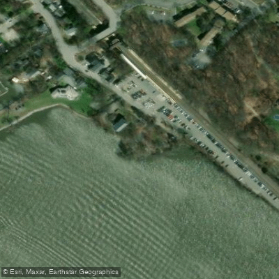
Know where you can legally fish on Foundry Cove
See public and private land boundaries along the water, turn on private parcels with owner details to know where permission is required, and find land-trust parcels that offer permitted fishing access.
New York licenses and regulations

New York Boating Regulations
When using any type of watercraft to access a body of water, it is important to follow all federal, state, and local rules and regulations. These rules and regulations include boat permitting and licensing, invasive species inspections and stamps, life jacket and PFD rules, motor size and horsepower restrictions, noise limitations, restrictions on personal watercraft, and many more. Visit the weblink below for the most current rules and regulations for this body of water.

New York Coastal & Inland Waters
New York's Marine and Coastal District covers the Atlantic Ocean within three miles of the coast and all tidal waters in the state, including the Hudson River up to the Tappan Zee Bridge. The free marine registry applies in those waters, while a paid freshwater fishing license is required for inland lakes, ponds, and rivers. Anglers fishing the Hudson River or other rivers for migratory fish of the sea such as striped bass also need the marine registry.

New York Federal Waters & Offshore Rules
Beyond three nautical miles from shore, NOAA Fisheries and the New England and Mid-Atlantic Fishery Management Councils set the rules for federal waters out to 200 nautical miles. Anglers targeting tuna, billfish, swordfish, or sharks must also obtain a federal Atlantic Highly Migratory Species permit from NOAA Fisheries, separate from any state registration.

New York Saltwater Fishing License
Saltwater anglers 16 and older must enroll in the free Recreational Marine Fishing Registry before fishing New York's marine and coastal district waters. NYSDEC runs the registry through its DECALS system. Anglers aboard a licensed party or charter boat are exempt from registering, as are those under 16.

New York Saltwater Size & Bag Limits
Size and bag limits apply to marine species and can shift during the year. NYSDEC sets and updates these rules, and the current table for species including striped bass, summer flounder, black sea bass, bluefish, and tautog lives on the Recreational Saltwater Fishing Regulations page. Check it before every trip.

New York Shellfish Closures & Advisories
No DEC permit is required to recreationally harvest clams, oysters, mussels, or scallops from state lands, but you may only harvest from areas DEC has certified as open. Areas close due to rainfall, boating activity, and other water-quality concerns, so check the DEC Public Shellfish Mapper for current closures before heading out. Local towns may also require their own permits and impose additional restrictions.
Take Foundry Cove with you
The onWater Fish app keeps this water's access points, species and conditions in your pocket, with the tools you use once you're there.
Use the map without signal
Download the map around Foundry Cove to use it offline when coverage drops.
Log your catches here
Keep a private fishing journal for Foundry Cove to find where and when fish are biting for you.
Get the onWater Fish app
Free on iOS and Android
Tides, wind & water conditions (10 day forecast)
On open water, wind and tide matter as much as the weather. See the best times to fish Foundry Cove and check the marine forecast before you launch.
Loading tide predictions…
Fishing near Foundry Cove

Hudson River
Wappinger Creek
Rondout Creek
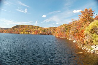
Monksville Reservoir
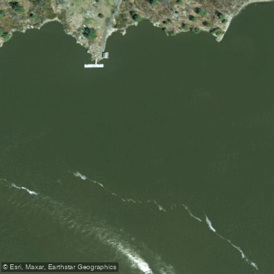
Worlds End
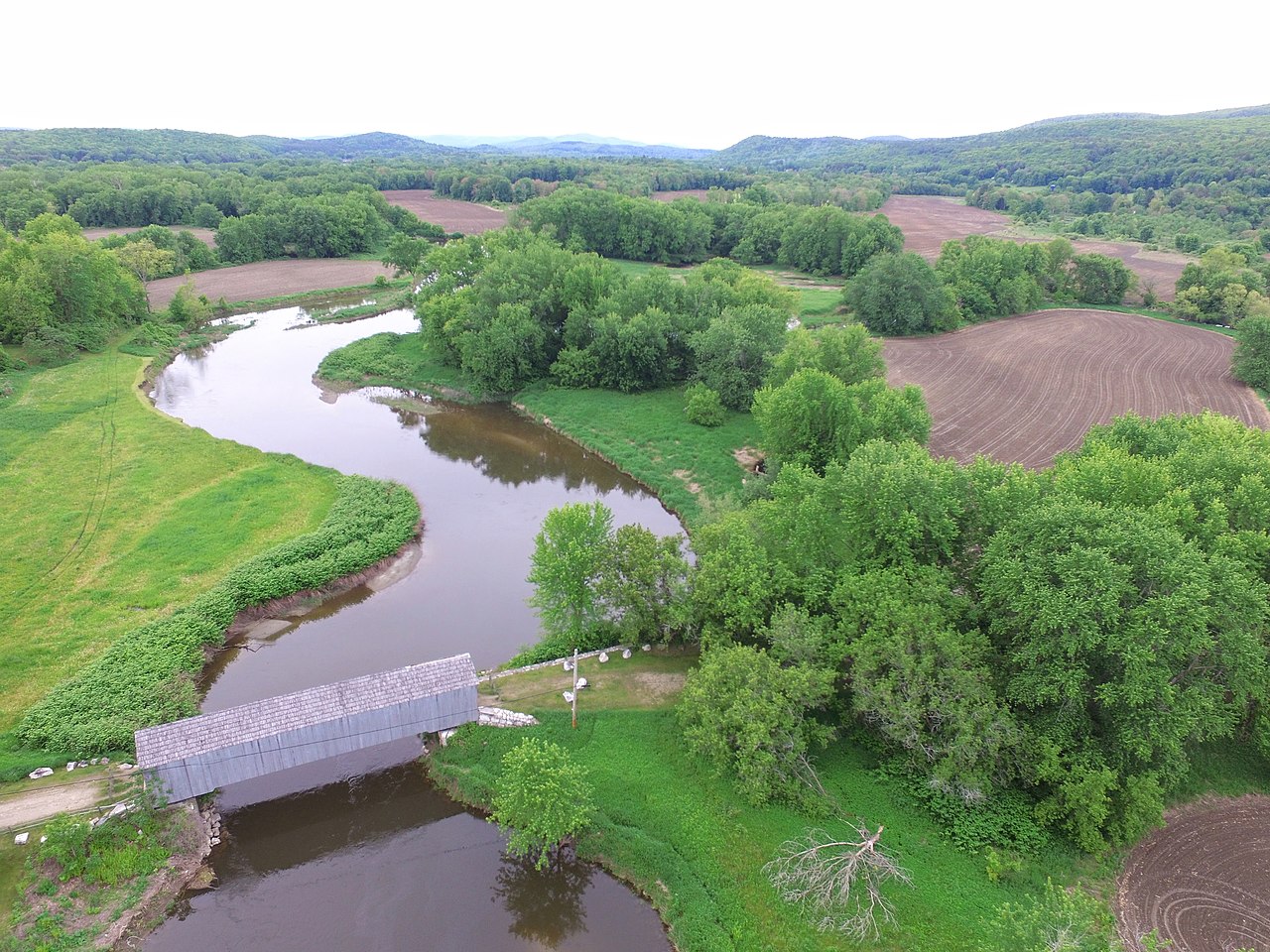
Housatonic River
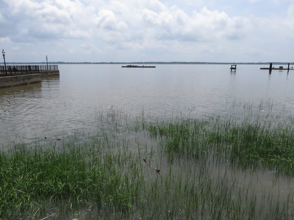
Delaware River
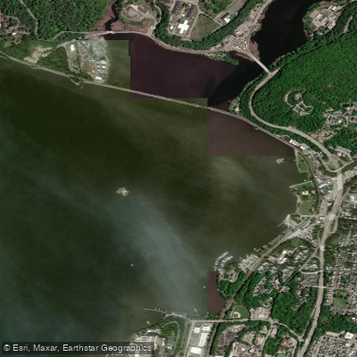
Peekskill Bay
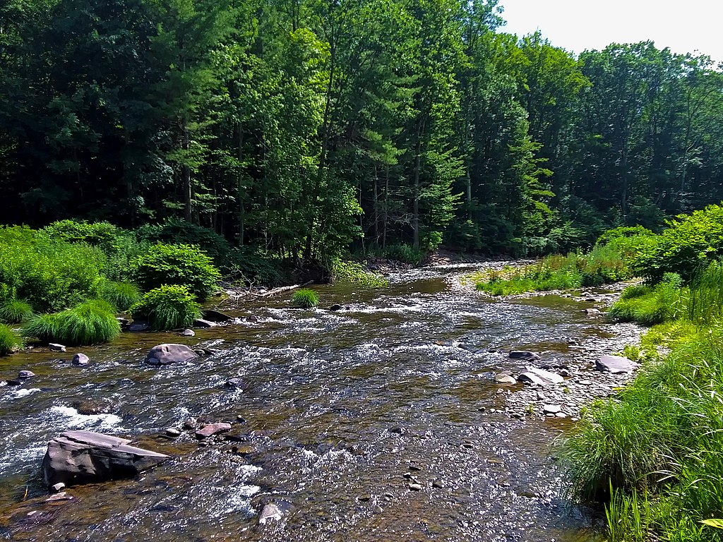
Esopus Creek
Explore New York waters
Top fishing waters
Popular Cities
Loading popular cities...
Explore near Foundry Cove
Fish species
Fishing spots
Nearby waters
More in New York

Smarter Fishing Starts in the App.
onWater Fish gives you everything you need to plan smarter, fish better, and own every trip from first cast to last.