Luxapallila Creek
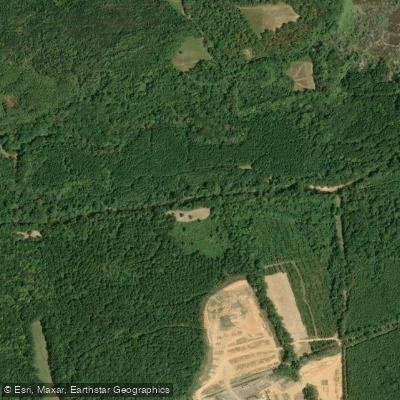
Luxapallila Creek
- Boat Ramps
- 2
- Access Points
- 2
- Species
- 38
Luxapallila Creek is a significant tributary stream within the Mobile River Basin, flowing through parts of Alabama and Mississippi. The creek, whose name means flying turtle in the Choctaw language, drains a watershed of approximately 803 square miles through several counties including Lamar, Marion, Fayette, and Pickens counties in Alabama, and Monroe and Lowndes counties in Mississippi. This southwest-flowing tributary of the Tombigbee River runs through several Alabama cities including Winfield, Millport, Kennedy, Belk, and Fayette before reaching Columbus, Mississippi. The creek features diverse aquatic habitats with sand, gravel, and cobble substrates in areas with moderate to swift currents, making it an important ecosystem for various fish species and a popular destination for anglers in the region.
Species & education
Learn what type of fish are at Luxapallila Creek and what's needed to catch them.

Find which waters have the species you want to catch

Largemouth Bass
Micropterus salmoides
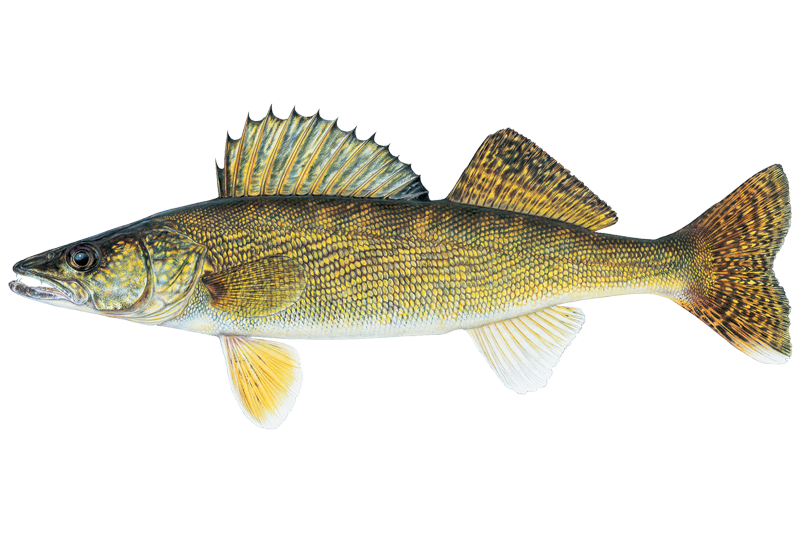
Walleye
Sander vitreus

Black Crappie
Pomoxis nigromaculatus
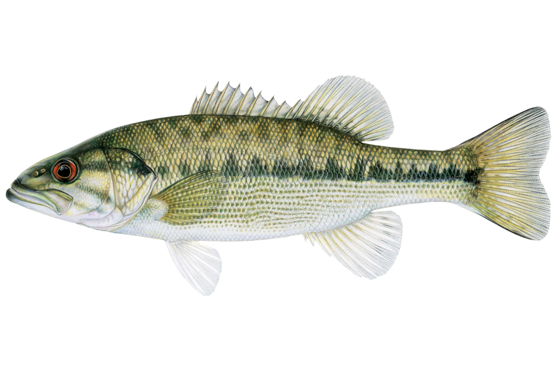
Alabama Bass
Micropterus henshalli
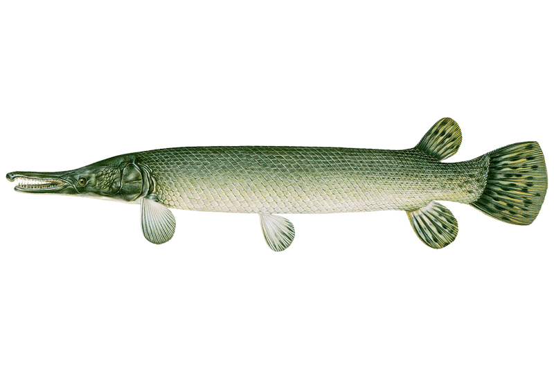
Alligator Gar
Atractosteus spatula
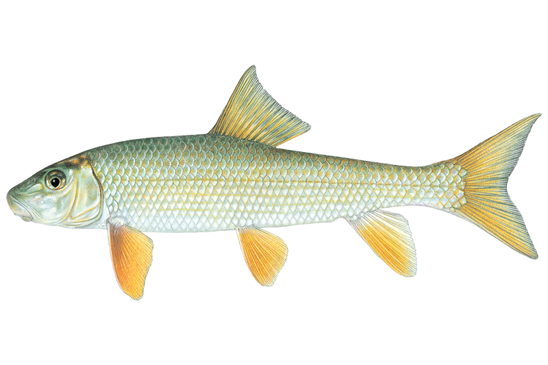
Black Redhorse
Moxostoma duquesnei

Blue Catfish
Ictalurus furcatus

Bluegill Sunfish
Lepomis macrochirus
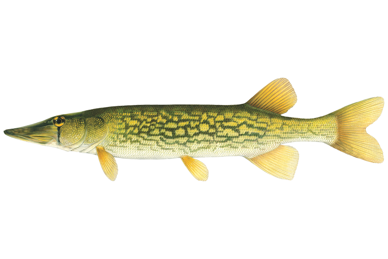
Chain Pickerel
Esox niger

Channel Catfish
Ictalurus punctatus

Common Carp
Cyprinus carpio
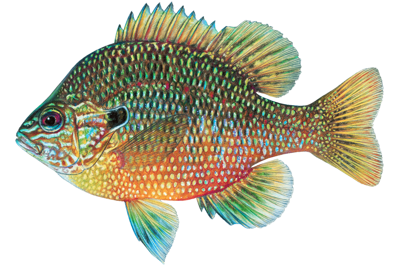
Dollar Sunfish
Lepomis marginatus

Flathead Catfish
Pylodictis olivaris
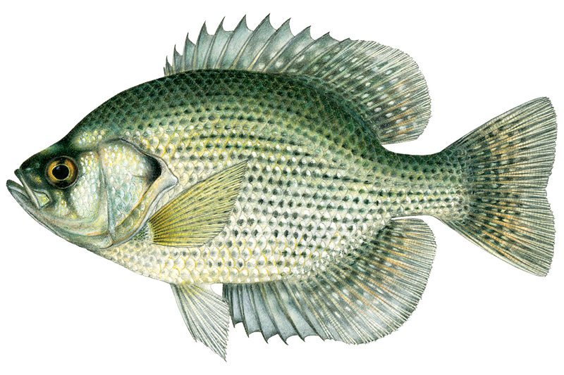
Flier
Centrarchus macropterus
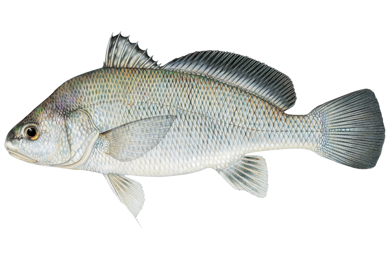
Freshwater Drum
Aplodinotus grunniens
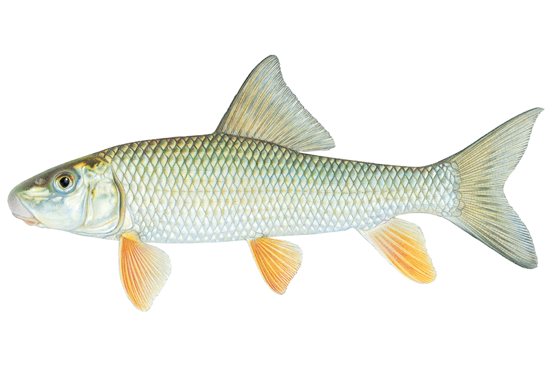
Golden Redhorse
Moxostoma erythrurum
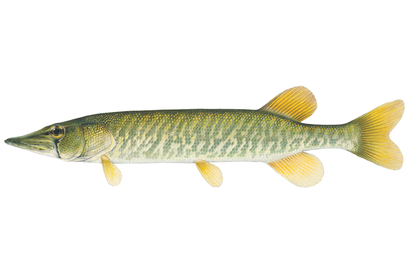
Grass Pickerel
Esox americanus

Green Sunfish
Lepomis cyanellus
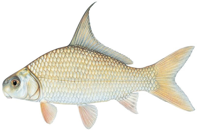
Highfin Carpsucker
Carpiodes velifer

Longear Sunfish
Lepomis megalotis
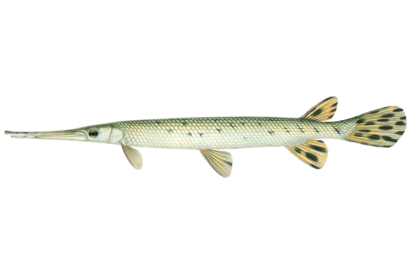
Longnose Gar
Lepisosteus osseus
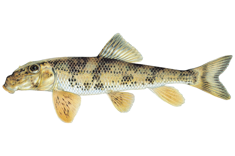
Northern Hogsucker
Hypentelium nigricans

Orangespotted Sunfish
Lepomis humilis

Quillback Carpsucker
Carpiodes cyprinus
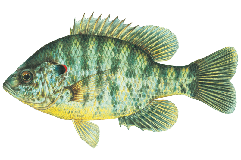
Redear Sunfish
Lepomis microlophus
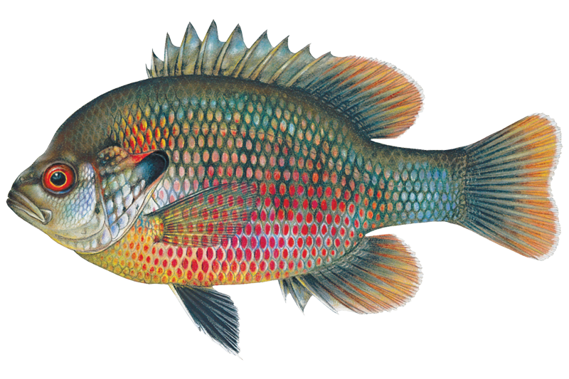
Redspotted Sunfish
Lepomis miniatus
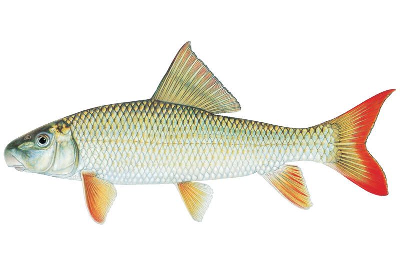
River Redhorse
Moxostoma carinatum
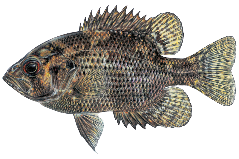
Shadow Bass
Ambloplites ariommus
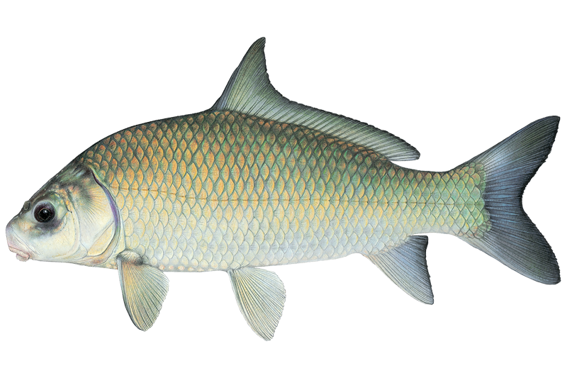
Smallmouth Buffalo
Ictiobus bubalus
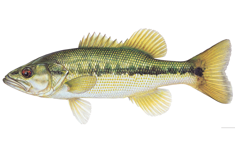
Spotted Bass
Micropterus punctulatus
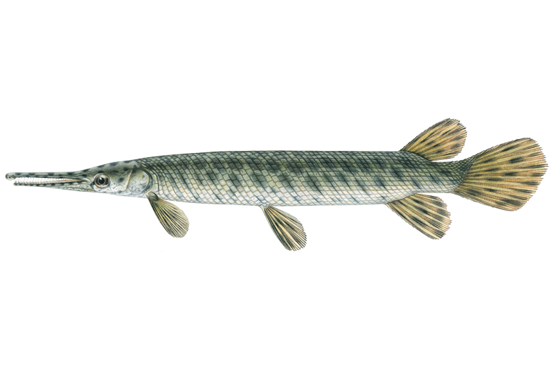
Spotted Gar
Lepisosteus oculatus
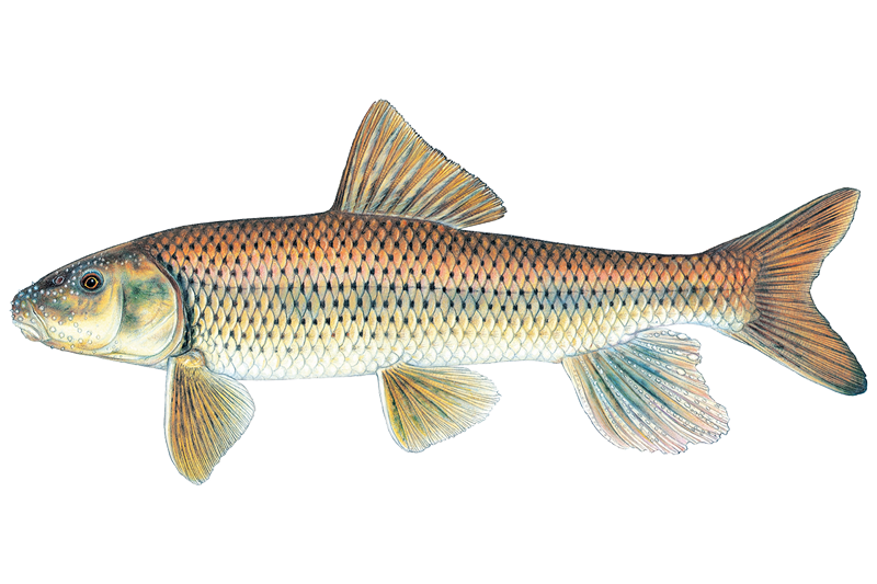
Spotted Sucker
Minytrema melanops
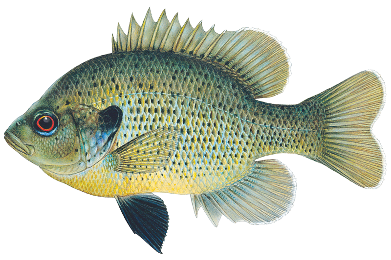
Spotted Sunfish
Lepomis punctatus
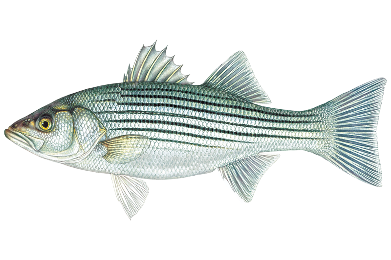
Striped Bass
Morone saxatilis
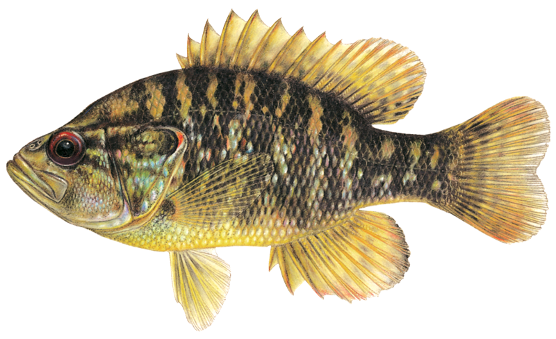
Warmouth Sunfish
Lepomis gulosus

White Bass
Morone chrysops
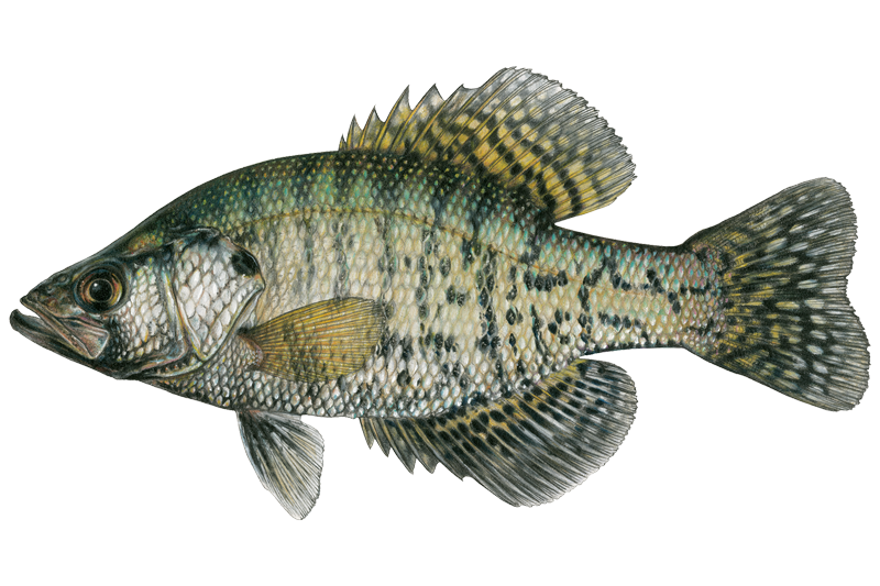
White Crappie
Pomoxis annularis

Yellow Bullhead
Ameiurus natalis
Fishing spots, boat ramps & amenities
Learn how to get on Luxapallila Creek. Uncover great fishing access points, boat ramps, and all the facilities you need for an unforgettable day on the water. Some locations shown may border or include private property. Always check property boundaries and applicable regulations before visiting. onWater's Public & Private Land layer can help you plan your access with confidence.

Know where you can legally fish on Luxapallila Creek
See public and private land boundaries along the water, turn on private parcels with owner details to know where permission is required, and find land-trust parcels that offer permitted fishing access.
Mississippi licenses and regulations

Mississippi Boating Regulations
When using any type of watercraft to access a body of water, it is important to follow all federal, state, and local rules and regulations. These rules and regulations include boat permitting and licensing, invasive species inspections and stamps, life jacket and PFD rules, motor size and horsepower restrictions, noise limitations, restrictions on personal watercraft, and many more. Visit the web link below for the most current rules and regulations for this body of water.

Mississippi Fishing License
Resident - Each resident of the State of Mississippi ages sixteen (16) through sixty-four (64), fishing in the fresh or marine waters of Mississippi, including lakes and reservoirs but NOT to include privately owned ponds and streams, shall be required to buy a fishing license. A saltwater license is required south of U. S. Highway 90 and a freshwater or saltwater license is valid between I-10 and U. S. Highway 90. Saltwater license is not valid north of I-10. Any person sixty-five (65) or older, or any person otherwise exempted from obtaining a freshwater fishing license, must have documentation with him/her at all times while fishing as described in Exemptions. All non-resident anglers, except minors under the age of sixteen (16), are required to obtain a fishing license while fishing in the fresh or marine waters of the State of Mississippi.

Mississippi Fishing Regulations
This river has a variety of species and regulations, including potential floating and/or watercraft restrictions. Because this river is specially managed for species, seasons, angling methods, and watercraft, it is strongly encouraged you check all federal, state, and local regulations before fishing. Visit any of the links below, inquire locally, or contact a local fly shop to learn current regulations and restrictions.

Mississippi Stream Access Laws
Mississippi waterways with a long history of public use or a mean annual flow of at least 100 cfs are considered navigable and open to public recreation. The public may use surfaces and streambeds, regardless of ownership, up to the high watermark.
Take Luxapallila Creek with you
The onWater Fish app keeps this water's access points, species and conditions in your pocket, with the tools you use once you're there.
Use the map without signal
Download the map around Luxapallila Creek to use it offline when coverage drops.
Log your catches here
Keep a private fishing journal for Luxapallila Creek to find where and when fish are biting for you.
Get the onWater Fish app
Free on iOS and Android
Water and weather conditions (10 day forecast)
See the best times to fish Luxapallila Creek and check the forecast before you go.
LUXAPALLILA CREEK AT MILLPORT, AL
All Flow Stations
Fishing near Luxapallila Creek
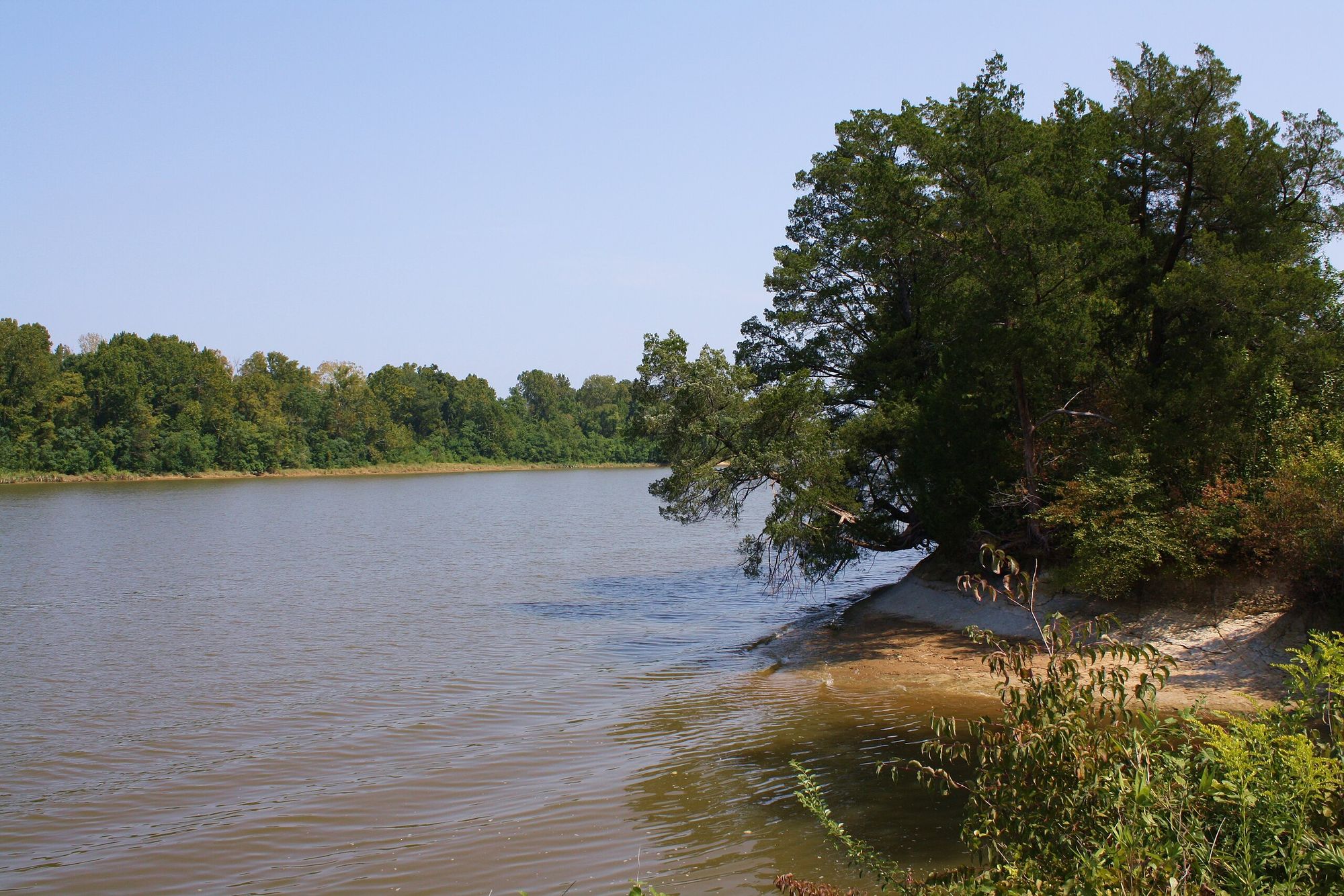
Tombigbee River
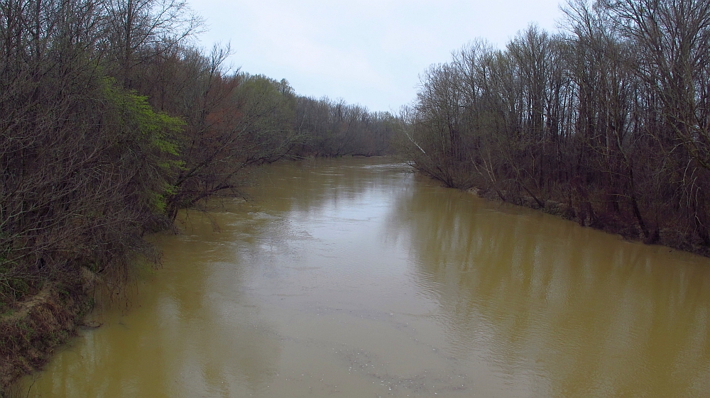
Yalobusha River
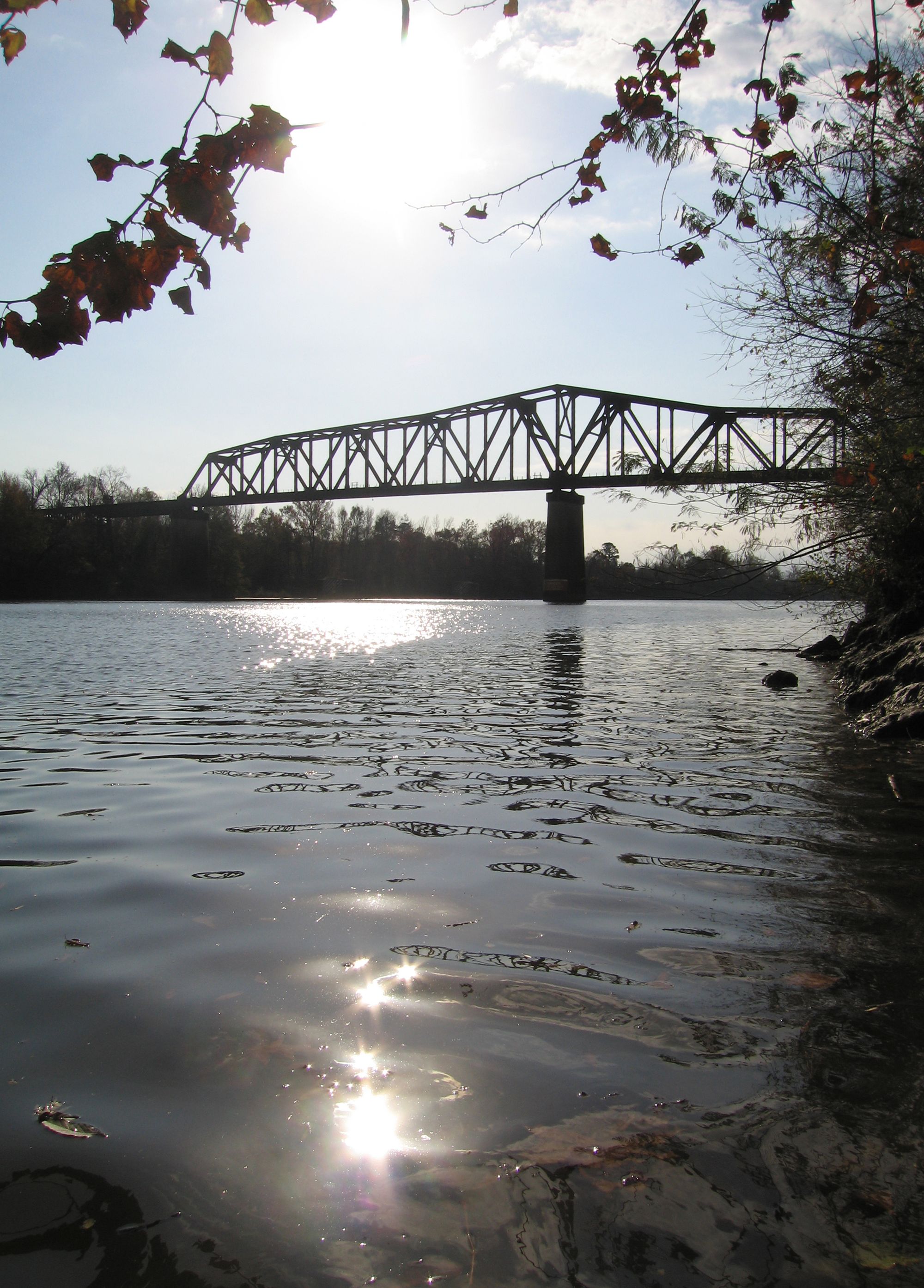
Black Warrior River
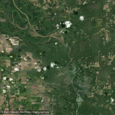
Aliceville Lake
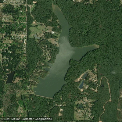
Lake Lowndes
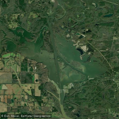
Columbus Lake
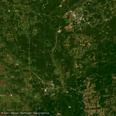
Weaver Creek Cutoff
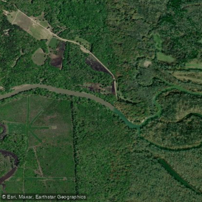
Tibbee Creek
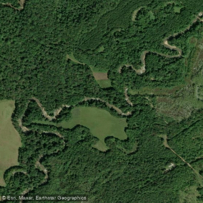
Buttahatchee River
Explore Mississippi waters
Top fishing waters
Popular Cities
Loading popular cities...
Explore near Luxapallila Creek
Fish species
Fishing spots
- Sheriff's Office Boat Ramp
- Luxapalila Cr Water Park Boat Ramp
- Luxapallila Creek Bridge
- Luxapallila Creek Bridge
- Luxapallila Creek Bridge
- Luxapallila Creek Bridge
- Luxapallila Relief Bridge
- Luxapallila Creek Bridge
- Luxapallilia Creek Bridge
- Luxapallila Creek Main Bridge
- Branch Bridge
- Luxapalila River Bridge
- All 114 spots
Nearby waters
More in Mississippi

Smarter Fishing Starts in the App.
onWater Fish gives you everything you need to plan smarter, fish better, and own every trip from first cast to last.