Pierce Lake
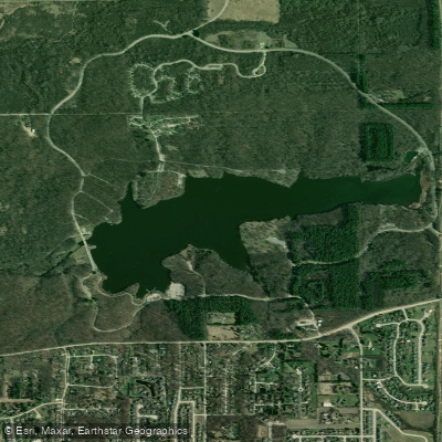
Pierce Lake
- Boat Ramps
- 2
- Access Points
- 2
- Species
- 9
Pierce Lake is a 162-acre reservoir located within Rock Cut State Park in Winnebago County, Illinois, situated between the towns of Machesney Park and Caledonia along Route 173. This artificial impoundment was created from a former rock quarry, with the lake beginning to fill on May 15, 1961. The lake covers terrain where much of the lower end was cut through solid rock, creating a unique underwater structure. With a maximum depth of 36 feet and an average depth of 12.5 feet, Pierce Lake maintains a pool elevation of 826 feet and offers 4.2 miles of shoreline. The watershed encompasses 8,150 acres with a 50:1 ratio, allowing for a retention time of 132 days. As part of the extensive 3,092-acre Rock Cut State Park, the lake is surrounded by rolling hills, dense forests, and meandering waterways that provide a rich tapestry of natural beauty and diverse fishing opportunities.
Species & education
Learn what type of fish are at Pierce Lake and what's needed to catch them.

Find which waters have the species you want to catch

Largemouth Bass
Micropterus salmoides

Smallmouth Bass
Micropterus dolomieu
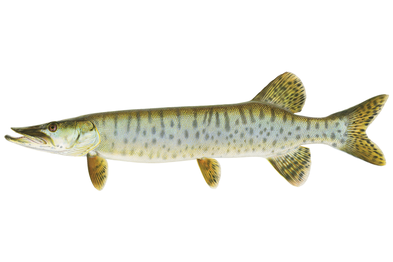
Muskellunge
Esox masquinongy
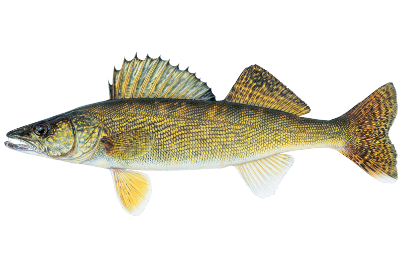
Walleye
Sander vitreus

Black Crappie
Pomoxis nigromaculatus

Bluegill Sunfish
Lepomis macrochirus

Channel Catfish
Ictalurus punctatus
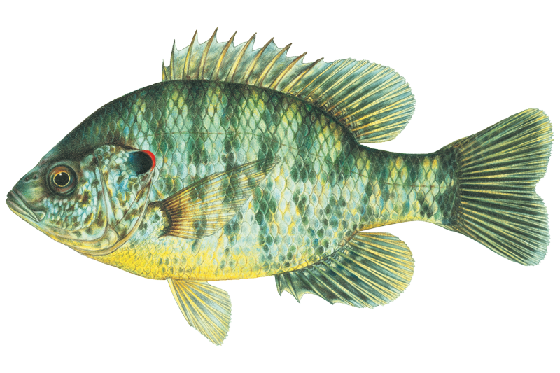
Redear Sunfish
Lepomis microlophus
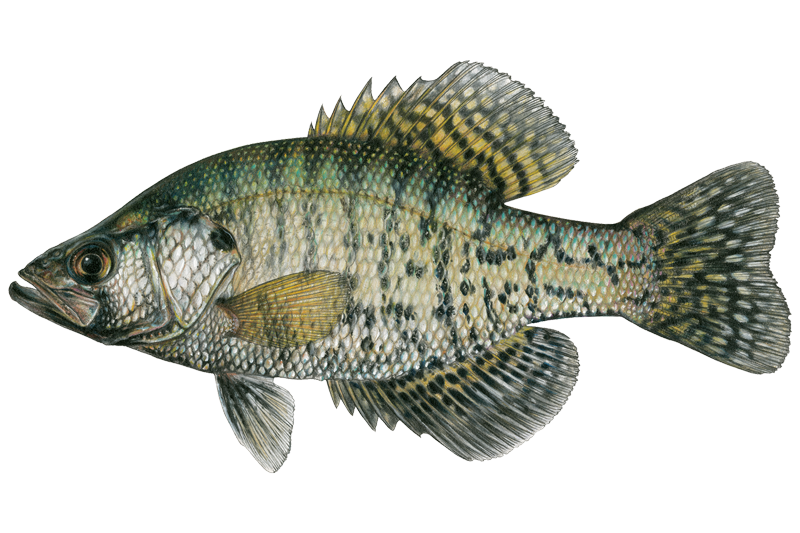
White Crappie
Pomoxis annularis
Fish stocking schedule
Latest 5 stockings
- Muskellunge174 fish · Adults2026
- Walleye10,080 fish · 2.0 in2026
- Channel Catfish3,865 fish · 5.5 in2026
- Walleye10,776 fish · 2.0 in2025
- Smallmouth Bass5,148 fish · 2.0 in2025
Source
Illinois Department of Natural Resources
Updated Nov 13, 2026. Sizes are the length the agency reports. Dates are as precise as the agency reports them.
Open stocking page, opens in new tabFishing spots, boat ramps & amenities
Learn how to get on Pierce Lake. Uncover great fishing access points, boat ramps, and all the facilities you need for an unforgettable day on the water. Some locations shown may border or include private property. Always check property boundaries and applicable regulations before visiting. onWater's Public & Private Land layer can help you plan your access with confidence.
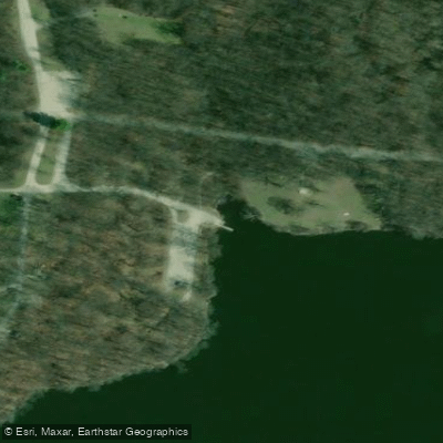
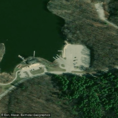
Know where you can legally fish on Pierce Lake
See public and private land boundaries along the water, turn on private parcels with owner details to know where permission is required, and find land-trust parcels that offer permitted fishing access.
Illinois licenses and regulations

Illinois Boating Regulations
When using any type of watercraft to access a body of water, it is important to follow all federal, state, and local rules and regulations. These rules and regulations include boat permitting and licensing, invasive species inspections and stamps, life jacket and PFD rules, motor size and horsepower restrictions, noise limitations, restrictions on personal watercraft, and many more. Visit the web link below for the most current rules and regulations for this body of water.

Illinois Fishing License
All individuals who are 16 and over are required to have a fishing license. All youth who are below 16 may fish without a license.

Illinois Fishing Regulations
This river has a variety of species and regulations, including potential floating and/or watercraft restrictions. Because this river is specially managed for species, seasons, angling methods, and watercraft, it is strongly encouraged you check all federal, state, and local regulations before fishing. Visit any of the links below, inquire locally, or contact a local fly shop to learn current regulations and restrictions.

Illinois Steam Access Laws
If the waterway is navigable in fact and the streambed is publicly owned, it is most likely fully accessible. If the streambed is privately owned, it is only accessible for navigation, not for hunting, fishing or portage.
Take Pierce Lake with you
The onWater Fish app keeps this water's access points, species and conditions in your pocket, with the tools you use once you're there.
Use the map without signal
Download the map around Pierce Lake to use it offline when coverage drops.
Log your catches here
Keep a private fishing journal for Pierce Lake to find where and when fish are biting for you.
HD depth charts from Garmin
Find drop offs, ledges, channels, points and shallow flats with Garmin depth charts in the app.
Get the onWater Fish app
Free on iOS and Android
Water and weather conditions (10 day forecast)
See the best times to fish Pierce Lake and check the forecast before you go.
No forecast data available.
Fishing near Pierce Lake

Rock River
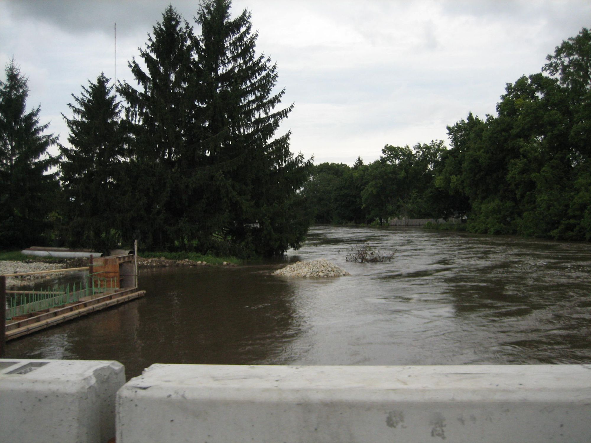
Kishwaukee River

Lake Geneva
Fox River
Yahara River
Bark River
Candlewick Lake
Pecatonica River
Sugar River
Explore Illinois waters
Top fishing waters
Popular Cities
Loading popular cities...
Explore near Pierce Lake
Fish species
Fishing spots
Nearby waters
More in Illinois

Smarter Fishing Starts in the App.
onWater Fish gives you everything you need to plan smarter, fish better, and own every trip from first cast to last.