State Highway 78/Little River Boat Ramp
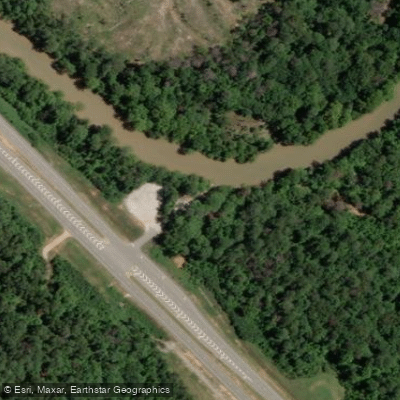
State Highway 78/Little River Boat Ramp
This cement boat ramp with gravel parking area on Highway 78 (also known as the Tom Watson Bridge DNR ramp) serves as the primary access point for paddling Georgia's Little River Water Trail and accessing the Clarks Hill-West Wildlife Management Area.
The ramp provides put-in and take-out access for both upstream paddling through the scenic Storks Bend section and downstream paddling toward Holliday Park, making it ideal for day trips on this flat-water, slow-moving river with minimal current.
More ways to access Little River
Explore the wonders of Little River! Find excellent fishing spots, easy access to boat ramps, and all the amenities you need for a memorable day by the water. Your adventure starts here.
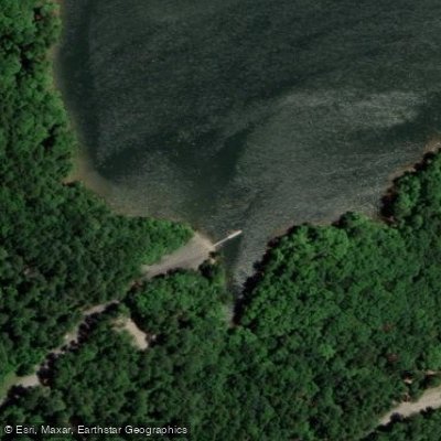
Water and weather conditions (10 day forecast)
Check the forecast at State Highway 78/Little River Boat Ramp before you go fishing.
No forecast data available.
Fishing near State Highway 78/Little River Boat Ramp
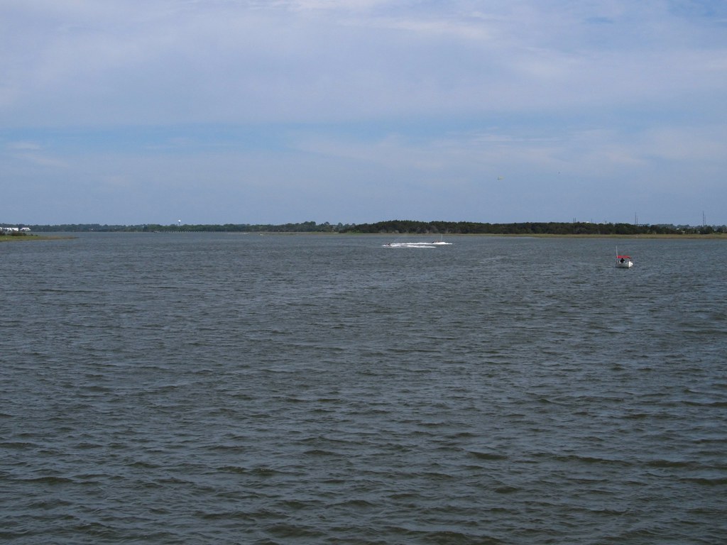
Savannah River
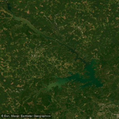
J. Strom Thurmond Reservoir
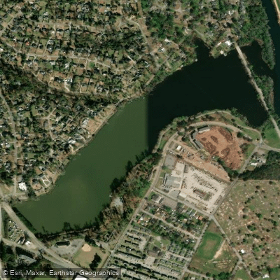
Lake Olmstead
Brier Creek
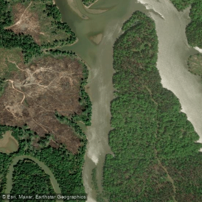
Little River
Ogeechee River
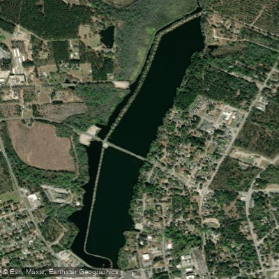
Edgar A Brown Lake
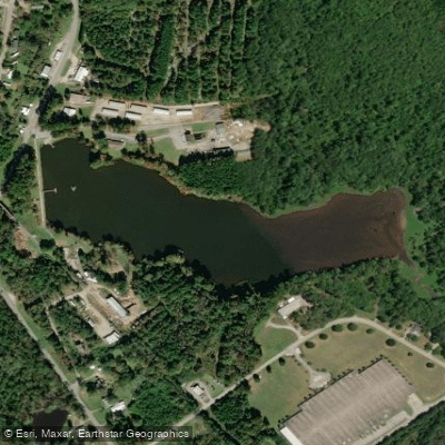
Slade Lake
Spirit Creek
Kiokee Creek
Georgia licenses and regulations
Explore Georgia waters
Top fishing waters
No waters available right now.
Popular Cities
Loading popular cities...
Explore near State Highway 78/Little River Boat Ramp
On this water
Nearby spots
Nearby waters
More in Georgia

Smarter Fishing Starts in the App.
onWater Fish gives you everything you need to plan smarter, fish better, and own every trip from first cast to last.