Santa Maria River
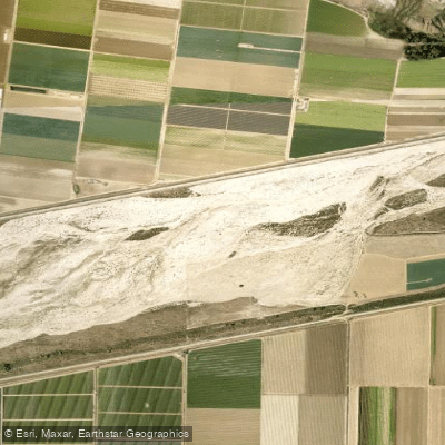
Santa Maria River
- Boat Ramps
- 0
- Access Points
- 0
- Species
- 12
The Santa Maria River is formed at the confluence of the Cuyama and Sisquoc Rivers in central California, flowing 24.4 miles to the Pacific Ocean. It defines the border between Santa Barbara County and San Luis Obispo County. The river is mostly dry about 90% of the year but can swell significantly during winter storms. It rises to a maximum elevation of approximately 390 feet and has one of the largest coastal watersheds in California.
Species & education
Learn what type of fish are at Santa Maria River and what's needed to catch them.

Find which waters have the species you want to catch

Largemouth Bass
Micropterus salmoides

Rainbow Trout
Oncorhynchus mykiss

Black Crappie
Pomoxis nigromaculatus

Black Bullhead
Ameiurus melas

Blue Catfish
Ictalurus furcatus

Channel Catfish
Ictalurus punctatus

Common Carp
Cyprinus carpio

Green Sunfish
Lepomis cyanellus
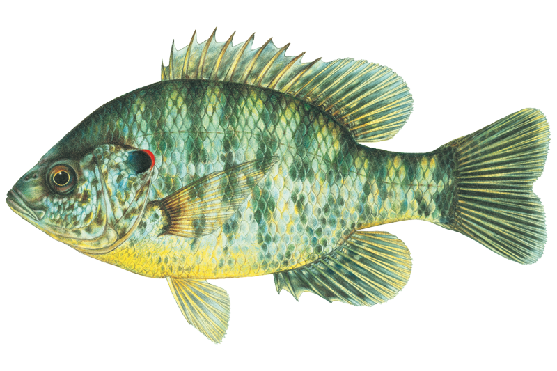
Redear Sunfish
Lepomis microlophus

Steelhead
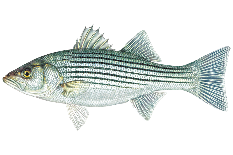
Striped Bass
Morone saxatilis
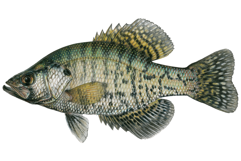
White Crappie
Pomoxis annularis
Fishing spots, boat ramps & amenities
Learn how to get on Santa Maria River. Uncover great fishing access points, boat ramps, and all the facilities you need for an unforgettable day on the water. Some locations shown may border or include private property. Always check property boundaries and applicable regulations before visiting. onWater's Public & Private Land layer can help you plan your access with confidence.
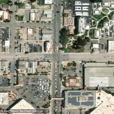
Know where you can legally fish on Santa Maria River
See public and private land boundaries along the water, turn on private parcels with owner details to know where permission is required, and find land-trust parcels that offer permitted fishing access.
California licenses and regulations

California Boating Regulations
When using any type of watercraft to access a body of water, it is important to follow all federal, state, and local rules and regulations. These rules and regulations include boat permitting and licensing, invasive species inspections and stamps, life jacket and PFD rules, motor size and horsepower restrictions, noise limitations, restrictions on personal watercraft, and many more. Visit the web link below for the most current rules and regulations for this body of water.

California Fishing License Online
In California, anyone under the age of 16 or above is required to get a sport fishing license to take any fish; shell fish, reptile or amphibian in the state.

California Freshwater Fishing Regulations
This river has a variety of species and regulations, including potential floating and/or watercraft restrictions. Because this river is specially managed for species, seasons, angling methods, and watercraft, it is strongly encouraged you check all federal, state, and local regulations before fishing. Visit any of the links below, inquire locally, or contact a local fly shop to learn current regulations and restrictions.

California Stream Access Laws
The courts have described the reach of the California public right of navigation as “the right to navigate and to exercise the incidents of navigation in a lawful manner at any point below high water mark” on waters that satisfy California’s small craft test. Thus, property owners cannot interfere with the public’s right to navigate or use shoreline areas below the ordinary high water mark for incidents of navigation. In fact, unauthorized obstruction of the public’s right to access and use a navigable waterway constitutes a public nuisance.
Take Santa Maria River with you
The onWater Fish app keeps this water's access points, species and conditions in your pocket, with the tools you use once you're there.
Use the map without signal
Download the map around Santa Maria River to use it offline when coverage drops.
Log your catches here
Keep a private fishing journal for Santa Maria River to find where and when fish are biting for you.
Get the onWater Fish app
Free on iOS and Android
Water and weather conditions (10 day forecast)
See the best times to fish Santa Maria River and check the forecast before you go.
SANTA MARIA R A SUEY CROSSING NR SANTA MARIA CA
Fishing near Santa Maria River
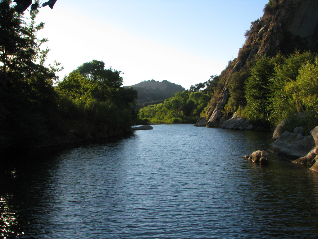
Santa Ynez River
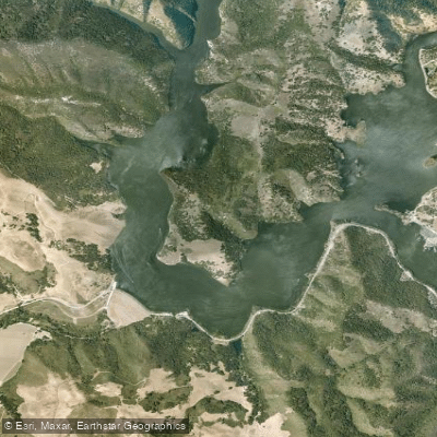
Lopez Lake
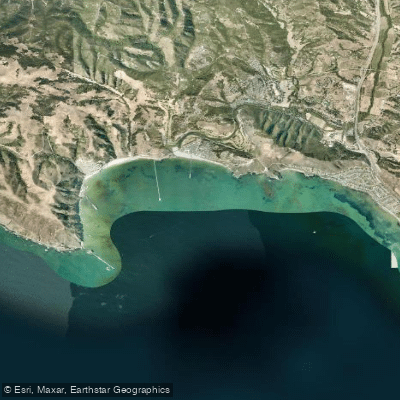
San Luis Obispo Bay
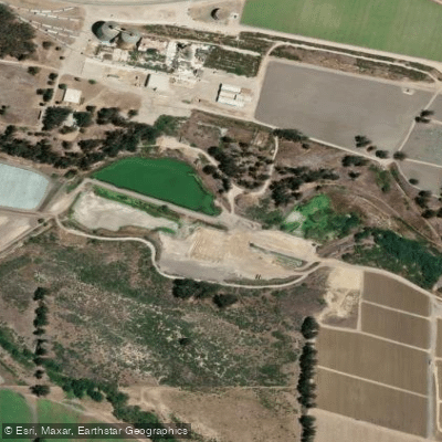
Guadalupe Lake
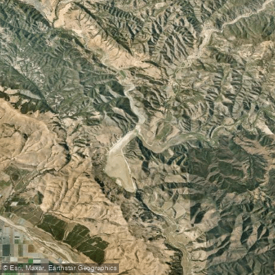
Twitchell Reservoir
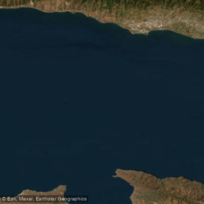
Santa Barbara Channel
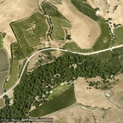
Arroyo Grande Creek
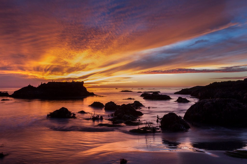
Estero Bay
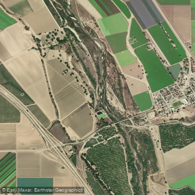
Salinas River
Explore California waters
Top fishing waters
Popular Cities
Loading popular cities...
Explore near Santa Maria River
Fish species
Fishing spots
Nearby waters
More in California

Smarter Fishing Starts in the App.
onWater Fish gives you everything you need to plan smarter, fish better, and own every trip from first cast to last.