Gekanaliseerde Hollandsche IJssel
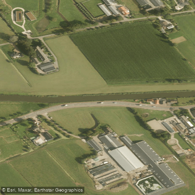
Gekanaliseerde Hollandsche IJssel
- Boat Ramps
- 0
- Access Points
- 3
- Species
- 13
The Gekanaliseerde Hollandsche IJssel is a managed waterway flowing westward through the provinces of Utrecht and South Holland in the Netherlands. Originally a distributary of the Lek river, it is now fed by the Doorslag, an arm of the Merwede Canal, beginning in Nieuwegein and passing through IJsselstein, Montfoort, Oudewater, and Gouda before emptying into the Nieuwe Maas near Capelle and Krimpen aan den IJssel on the outskirts of Rotterdam. The river's banks are lined with characteristic Dutch riparian vegetation — primarily willow (Salix spp.) and alder (Alnus glutinosa) forests — that create softwood floodplain habitats periodically inundated by seasonal water fluctuations. These vegetated corridors serve as nursery habitat for aquatic species and provide excellent cover and foraging zones for fish throughout the system. A storm surge barrier at the river's mouth, constructed as part of the Delta Works, protects the waterway from tidal intrusion and helps regulate water levels upstream.
Species & education
Learn what type of fish are at Gekanaliseerde Hollandsche IJssel and what's needed to catch them.

Find which waters have the species you want to catch

Common Bream
Abramis brama

Common Gudgeon
Gobio gobio

Common Roach
Rutilus rutilus

Eurasian Asp
Leuciscus aspius

Eurasian Pikeperch
Sander lucioperca

European Eel
Anguilla anguilla

European Perch
Perca fluviatilis

Ide
Leuciscus idus

Northern Pike
Esox lucius

Rudd
Scardinius erythrophthalmus

Ruffe
Gymnocephalus cernua

Silver Bream
Blicca bjoerkna

Tench
Tinca tinca
Fishing spots, boat ramps & amenities
Learn how to get on Gekanaliseerde Hollandsche IJssel. Uncover great fishing access points, boat ramps, and all the facilities you need for an unforgettable day on the water. Some locations shown may border or include private property. Always check property boundaries and applicable regulations before visiting. onWater's Public & Private Land layer can help you plan your access with confidence.
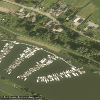
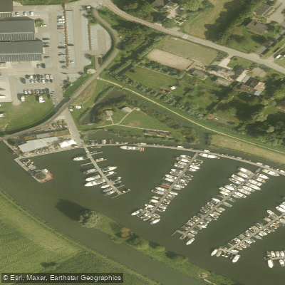
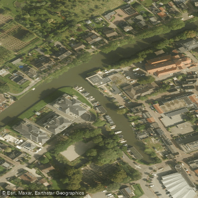
Know where you can legally fish on Gekanaliseerde Hollandsche IJssel
See public and private land boundaries along the water, turn on private parcels with owner details to know where permission is required, and find land-trust parcels that offer permitted fishing access.
South Holland licenses and regulations
No licenses or regulations available for South Holland.
Take Gekanaliseerde Hollandsche IJssel with you
The onWater Fish app keeps this water's access points, species and conditions in your pocket, with the tools you use once you're there.
Use the map without signal
Download the map around Gekanaliseerde Hollandsche IJssel to use it offline when coverage drops.
Log your catches here
Keep a private fishing journal for Gekanaliseerde Hollandsche IJssel to find where and when fish are biting for you.
Get the onWater Fish app
Free on iOS and Android
Water and weather conditions (10 day forecast)
See the best times to fish Gekanaliseerde Hollandsche IJssel and check the forecast before you go.
No forecast data available.
Fishing near Gekanaliseerde Hollandsche IJssel
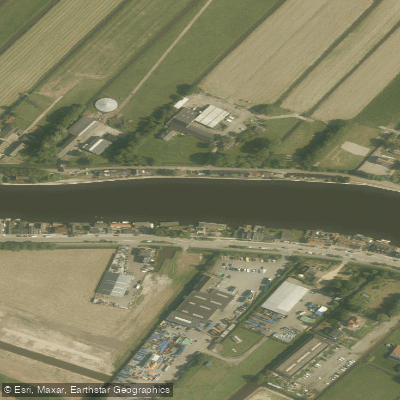
Oude Rijn
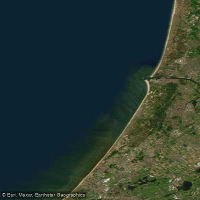
Hollandse kust (kustwater)
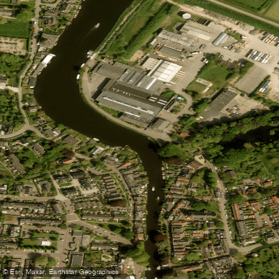
Vecht
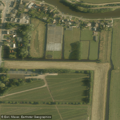
Ringsloot
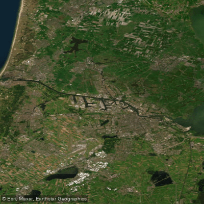
Noordzeekanaal
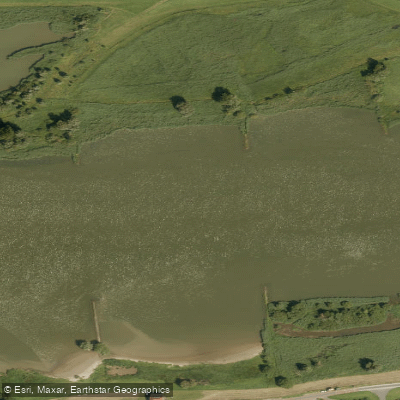
Lek
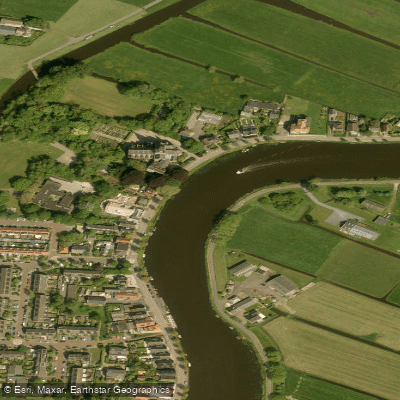
Amstel
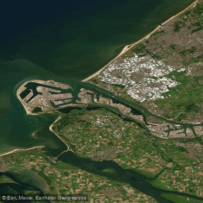
Nieuwe Waterweg
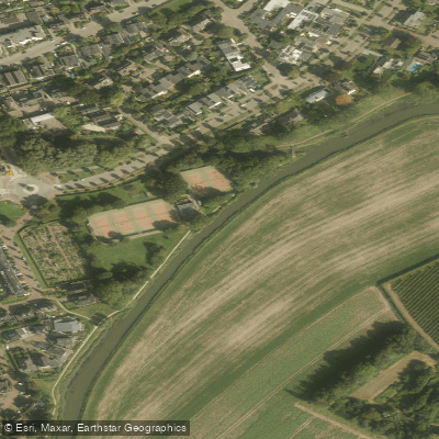
Kromme Rijn
Explore South Holland waters
Top fishing waters
No waters available right now.
Popular Cities
Loading popular cities...
Explore near Gekanaliseerde Hollandsche IJssel
Fish species
Fishing spots
Nearby waters
More in South Holland

Smarter Fishing Starts in the App.
onWater Fish gives you everything you need to plan smarter, fish better, and own every trip from first cast to last.