IJsselmeer
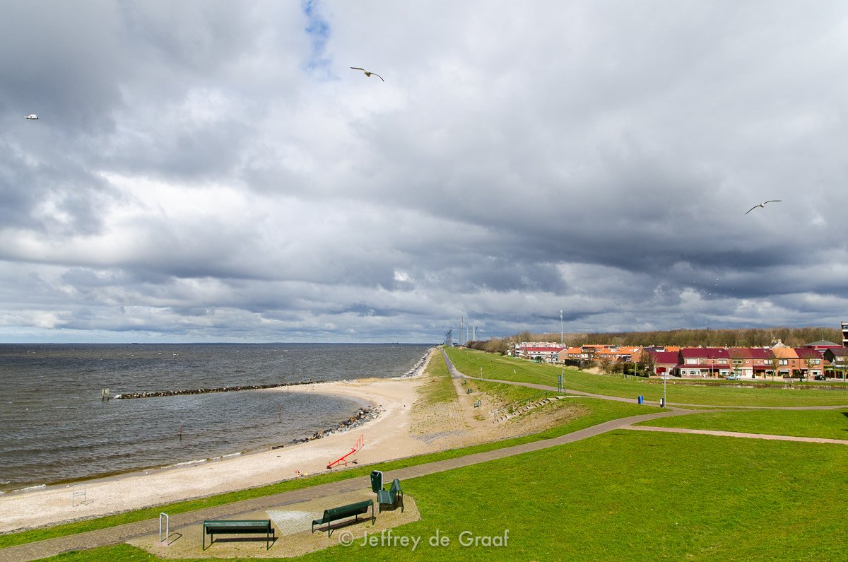
IJsselmeer
- Boat Ramps
- 0
- Access Points
- 49
- Species
- 17
The IJsselmeer, known in English as Lake IJssel, is the largest freshwater lake in Western Europe, sprawling across approximately 1,100 km² in the central Netherlands. Bordered by the provinces of Flevoland, North Holland, and Friesland, this legendary fishery sits at a surface elevation of roughly −0.4 m in winter and −0.2 m in summer, reflecting its carefully managed water levels. Fed primarily by the River IJssel (a branch of the Rhine) and the Overijsselse Vecht, the lake discharges into the Wadden Sea via the Afsluitdijk. With an average depth of just 4.5 m (15 ft) and a maximum depth of 9 m (30 ft), the IJsselmeer is a remarkably shallow but expansive body of water, and its combination of shallow reed beds, deep drop-offs, and submerged structures creates ideal habitat for a diverse range of freshwater predators. Designated as a Ramsar Wetland of International Importance in 2000 and managed under the Nature Conservation Act by the Dutch Ministry of Infrastructure and the Environment, the IJsselmeer is both a world-class fishing destination and a protected natural treasure. Its proximity to Amsterdam makes it one of the most accessible premier freshwater fisheries in all of Europe.
Species & education
Learn what type of fish are at IJsselmeer and what's needed to catch them.

Find which waters have the species you want to catch

Atlantic Salmon
Salmo salar

Bleak
Alburnus alburnus

Brown Trout
Salmo trutta

Burbot
Lota lota

Common Carp
Cyprinus carpio

Common Gudgeon
Gobio gobio

Common Sturgeon
Acipenser sturio

Eurasian Pikeperch
Sander lucioperca

European Eel
Anguilla anguilla

Houting
Coregonus oxyrinchus

Ide
Leuciscus idus

Maraena Whitefish
Coregonus maraena

Northern Pike
Esox lucius

Rudd
Scardinius erythrophthalmus

Ruffe
Gymnocephalus cernua

Silver Bream
Blicca bjoerkna

Twaite Shad
Alosa fallax
Fishing spots, boat ramps & amenities
Learn how to get on IJsselmeer. Uncover great fishing access points, boat ramps, and all the facilities you need for an unforgettable day on the water. Some locations shown may border or include private property. Always check property boundaries and applicable regulations before visiting. onWater's Public & Private Land layer can help you plan your access with confidence.
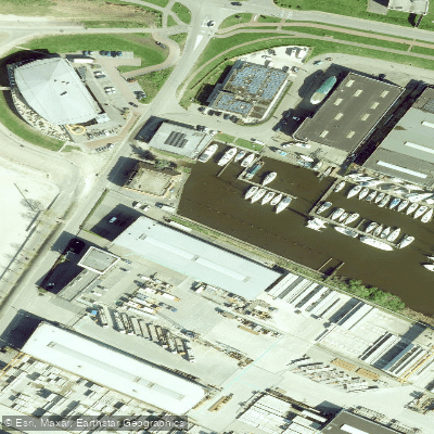
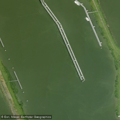
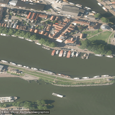
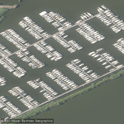
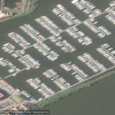
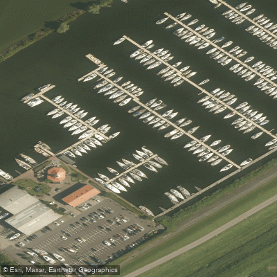
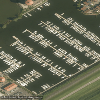
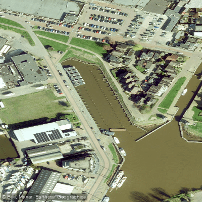
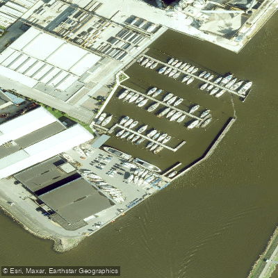
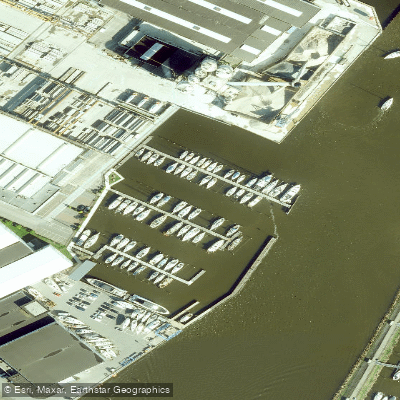
Know where you can legally fish on IJsselmeer
See public and private land boundaries along the water, turn on private parcels with owner details to know where permission is required, and find land-trust parcels that offer permitted fishing access.
Flevoland licenses and regulations
No licenses or regulations available for Flevoland.
Take IJsselmeer with you
The onWater Fish app keeps this water's access points, species and conditions in your pocket, with the tools you use once you're there.
Use the map without signal
Download the map around IJsselmeer to use it offline when coverage drops.
Log your catches here
Keep a private fishing journal for IJsselmeer to find where and when fish are biting for you.
HD depth charts from Garmin
Find drop offs, ledges, channels, points and shallow flats with Garmin depth charts in the app.
Get the onWater Fish app
Free on iOS and Android
Water and weather conditions (10 day forecast)
See the best times to fish IJsselmeer and check the forecast before you go.
Den Oever, Waddenzee Voorhaven
All Flow Stations
Fishing near IJsselmeer
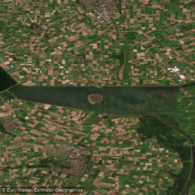
Ketelmeer
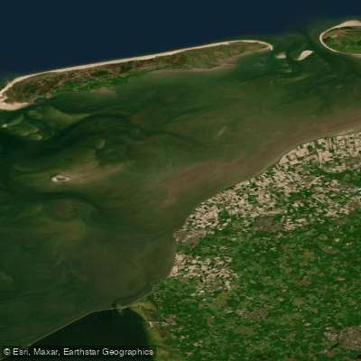
Waddenzee
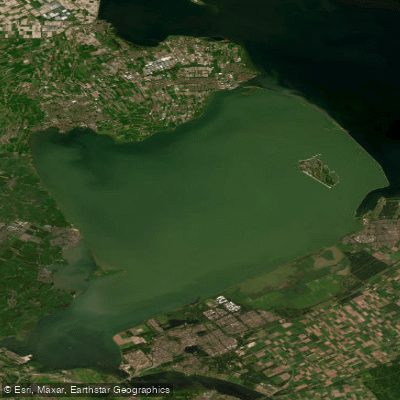
Markermeer
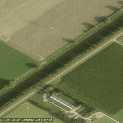
Hoge Vaart
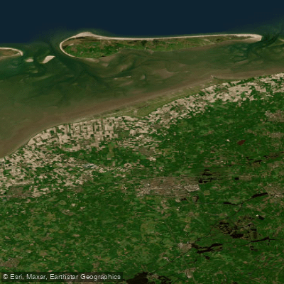
Waddenzee vastelandskust
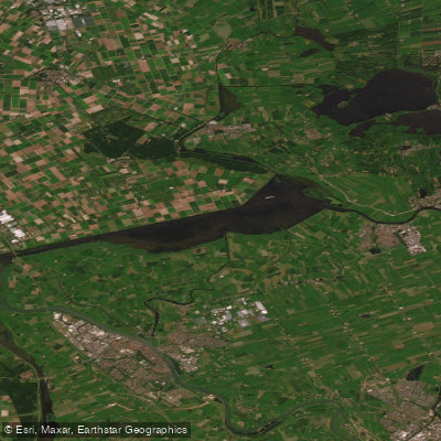
Zwarte Meer
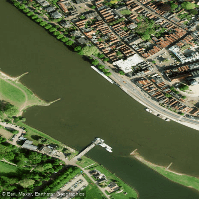
Geldersche IJssel
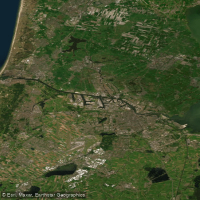
Noordzeekanaal
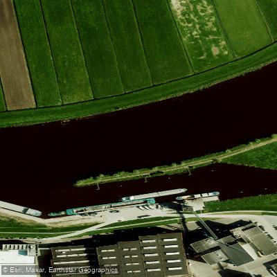
Zwarte Water
Explore Flevoland waters
Top fishing waters
No waters available right now.
Popular Cities
Loading popular cities...
Explore near IJsselmeer
Fish species
Fishing spots
Nearby waters
More in Flevoland

Smarter Fishing Starts in the App.
onWater Fish gives you everything you need to plan smarter, fish better, and own every trip from first cast to last.