Westport Bay
- Saltwater
- Estuary
Westport Bay
- Saltwater
- Estuary
- Sq. miles
- 5.9
- Boat Ramps
- 0
- Access Points
- 0
- Species
- 5
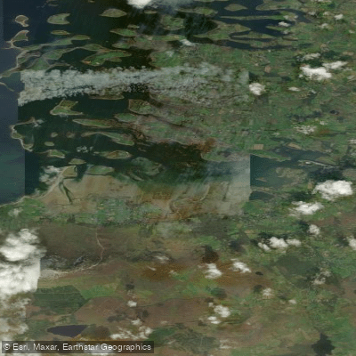
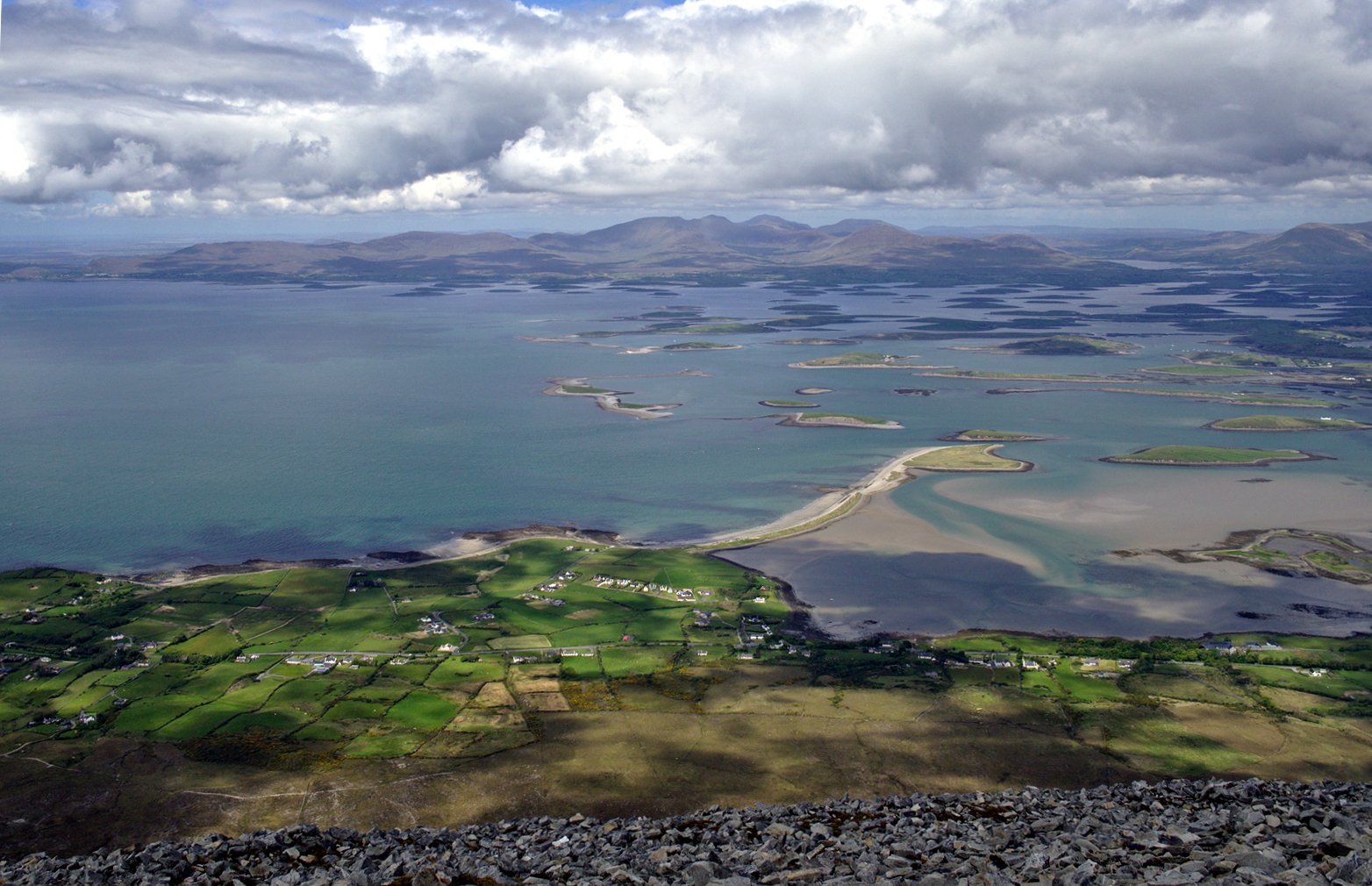
Westport Bay, situated at the southeastern corner of the larger Clew Bay on the west coast of County Mayo, is a premier inshore saltwater fishing destination in Ireland. This expansive estuary, approximately six miles wide and twelve miles deep at its mouth, is characterized by a complex and intricate coastline dotted with hundreds of small islands, creating a maze of sheltered channels, rocky outcrops, and productive fishing grounds. The bay is fed by several freshwater inputs, most notably the Carrowbeg River which flows through the town of Westport before entering the bay. The dominant geographical feature overlooking the entire area is Croagh Patrick, a 756-meter mountain providing panoramic views. The environment is a mix of deep channels, extensive shellfish beds, and protected anchorages, offering diverse angling opportunities from both boat and shore in a stunning Atlantic setting.
Species & education
Learn what type of fish are at Westport Bay and what's needed to catch them.

Find which waters have the species you want to catch

Atlantic Mackerel
Scomber scombrus

Coalfish
Pollachius virens

Grey Triggerfish
Balistes capriscus

Sea Trout
Salmo trutta

Thornback Ray
Raja clavata
Fishing spots, boat ramps & amenities
Learn how to get on Westport Bay. Uncover great fishing access points, boat ramps, and all the facilities you need for an unforgettable day on the water. Some locations shown may border or include private property. Always check property boundaries and applicable regulations before visiting. onWater's Public & Private Land layer can help you plan your access with confidence.
The 365 islands within Clew Bay provide endless rocky points, drop-offs, and tidal rips that hold fish. The Carricknacally shellfish beds in Westport Bay are a key habitat feature, though anchoring is prohibited there to protect the resource—these areas hold foraging fish. The deeper waters and anchorage around Clare Island at the bay's mouth offer more exposed, offshore-style fishing. The estuary of the Carrowbeg River at the head of Westport Bay is a productive mixing zone. Westport Quay and the adjacent channels offer convenient shore and boat access. The approaches between the mainland and the islands, particularly where fish farms are noted (east of Clare Island), can attract aggregations of fish, though these sites may not be well marked.
Know where you can legally fish on Westport Bay
See public and private land boundaries along the water, turn on private parcels with owner details to know where permission is required, and find land-trust parcels that offer permitted fishing access.
Co. Mayo licenses and regulations
No licenses or regulations available for Co. Mayo.
Take Westport Bay with you
The onWater Fish app keeps this water's access points, species and conditions in your pocket, with the tools you use once you're there.
Use the map without signal
Download the map around Westport Bay to use it offline when coverage drops.
Log your catches here
Keep a private fishing journal for Westport Bay to find where and when fish are biting for you.
Get the onWater Fish app
Free on iOS and Android
Tides, wind & water conditions (10 day forecast)
On open water, wind and tide matter as much as the weather. See the best times to fish Westport Bay and check the marine forecast before you launch.
Loading tide predictions…
Fishing near Westport Bay

Lough Corrib
Bunnahowna 32
Clew Bay
Castlebar
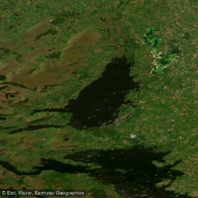
Lough Mask
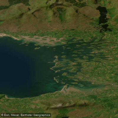
Inner Clew Bay
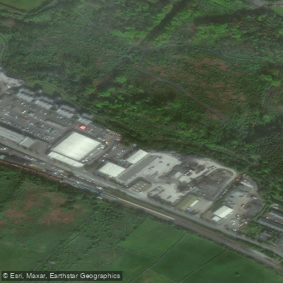
Carrowbeg [Westport]
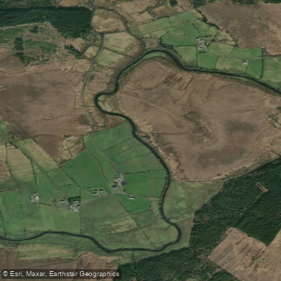
Deel [Crossmolina]

Suck
Explore Mayo waters
Top fishing waters
No waters available right now.
Popular Cities
Loading popular cities...
Explore near Westport Bay

Smarter Fishing Starts in the App.
onWater Fish gives you everything you need to plan smarter, fish better, and own every trip from first cast to last.