Lough Mask
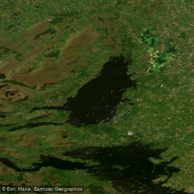
Lough Mask
- Boat Ramps
- 0
- Access Points
- 0
- Species
- 7
Lough Mask is one of Ireland's great western limestone loughs, covering approximately 22,000 acres in County Mayo and Galway in the province of Connacht. Stretching roughly 10 miles long by 4 miles wide, this formidable wild fishery is internationally recognized as one of the finest brown trout fisheries in Europe. Its crystal-clear waters are fed and filtered through the underlying limestone geology, and the lough is connected underground to the neighboring Lough Corrib to the south. The clarity and alkalinity of the water support rich invertebrate life, producing prolific hatches that sustain exceptional populations of wild brown trout. The nearest major angling town is Ballinrobe, though anglers base themselves at numerous villages around the lough's shores.
Species & education
Learn what type of fish are at Lough Mask and what's needed to catch them.

Find which waters have the species you want to catch

Arctic Char
Salvelinus alpinus

Brown Trout
Salmo trutta

Common Bream
Abramis brama

Common Roach
Rutilus rutilus

European Eel
Anguilla anguilla

European Perch
Perca fluviatilis

Northern Pike
Esox lucius
Fishing spots, boat ramps & amenities
Learn how to get on Lough Mask. Uncover great fishing access points, boat ramps, and all the facilities you need for an unforgettable day on the water. Some locations shown may border or include private property. Always check property boundaries and applicable regulations before visiting. onWater's Public & Private Land layer can help you plan your access with confidence.
Know where you can legally fish on Lough Mask
See public and private land boundaries along the water, turn on private parcels with owner details to know where permission is required, and find land-trust parcels that offer permitted fishing access.
Co. Galway licenses and regulations
No licenses or regulations available for Co. Galway.
Take Lough Mask with you
The onWater Fish app keeps this water's access points, species and conditions in your pocket, with the tools you use once you're there.
Use the map without signal
Download the map around Lough Mask to use it offline when coverage drops.
Log your catches here
Keep a private fishing journal for Lough Mask to find where and when fish are biting for you.
HD depth charts from Garmin
Find drop offs, ledges, channels, points and shallow flats with Garmin depth charts in the app.
Get the onWater Fish app
Free on iOS and Android
Water and weather conditions (10 day forecast)
See the best times to fish Lough Mask and check the forecast before you go.
Caher Pier
Fishing near Lough Mask

Lough Corrib
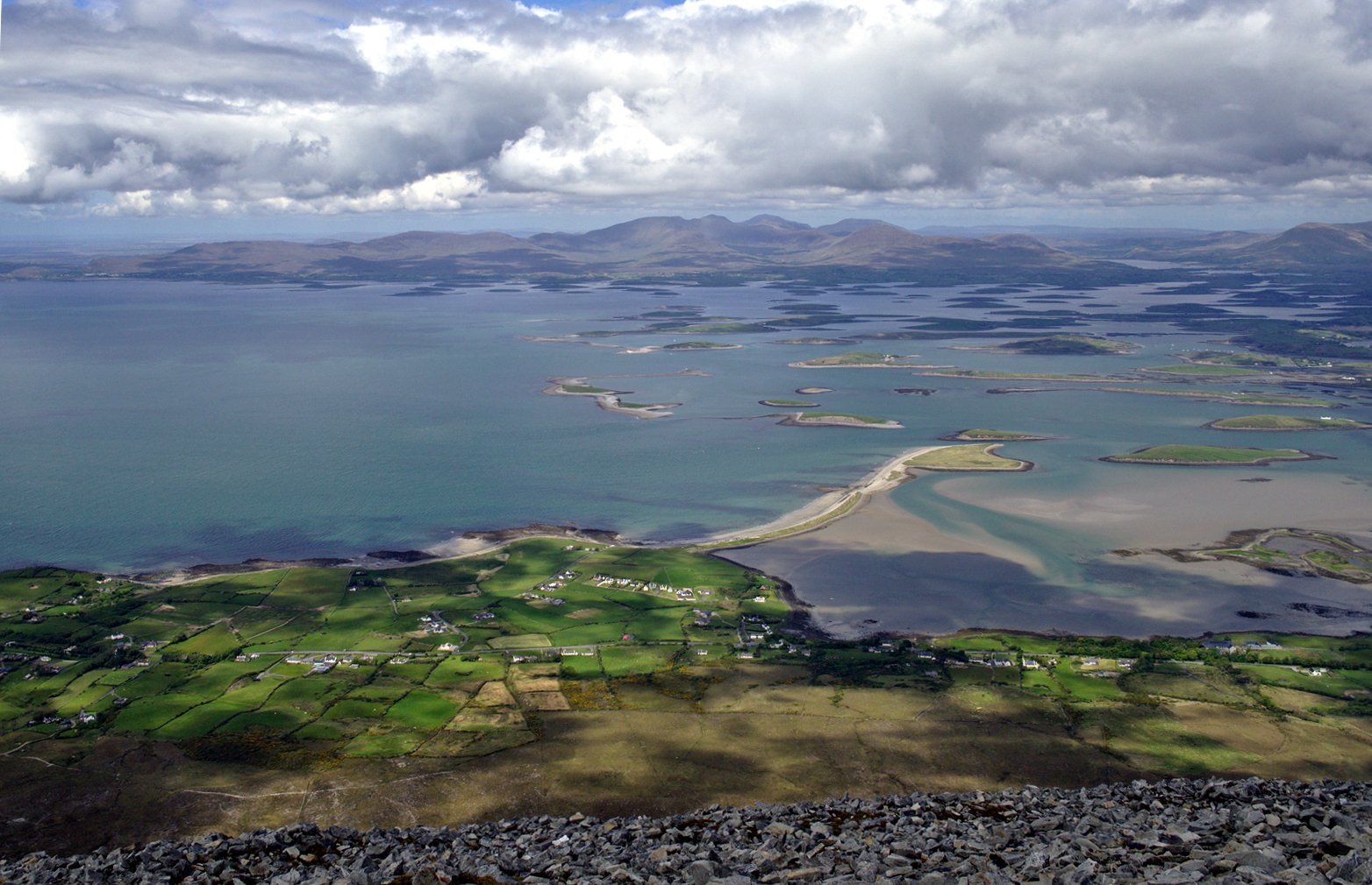
Clew Bay

Suck
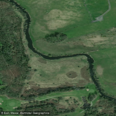
Robe
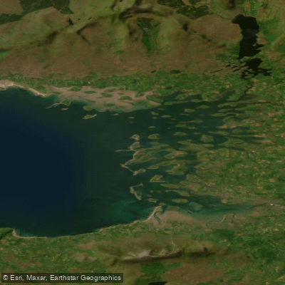
Inner Clew Bay
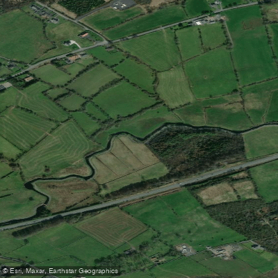
Castlebar
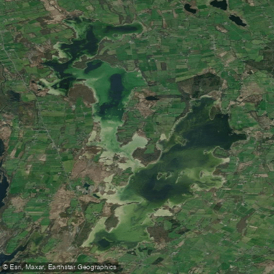
Lough Carra
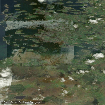
Westport Bay
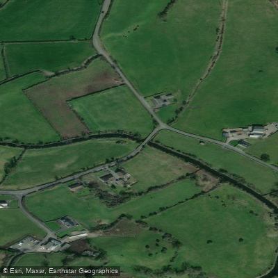
Manulla 34
Explore Galway waters
Top fishing waters
No waters available right now.
Popular Cities
Loading popular cities...
Explore near Lough Mask

Smarter Fishing Starts in the App.
onWater Fish gives you everything you need to plan smarter, fish better, and own every trip from first cast to last.