Deel [Crossmolina]
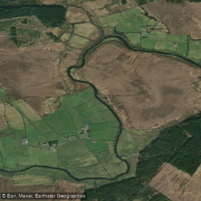
Deel [Crossmolina]
- Boat Ramps
- 0
- Access Points
- 0
- Species
- 6
The River Deel near Crossmolina is one of Ireland's most diverse and rewarding salmon and trout rivers, rising high in the Nephin Beg Mountains of County Mayo and flowing approximately 45 kilometres through wild moorland, open pastures, and the town of Crossmolina before entering the northern end of Lough Conn. As the largest tributary of the River Moy system, the Deel offers an exceptional range of angling experiences — from delicate dry fly fishing for brown trout and classic spring salmon fishing in the lower reaches, to spirited brown trout and grilse action in the remote upper stretches. The river drains a catchment of approximately 63 km² and forms an integral part of the River Moy Special Area of Conservation (SAC, site code 002298). In the vicinity of Crossmolina, the river passes through an area of karstic limestone geology, where it seasonally sinks underground for a reach of approximately 4 kilometres between Ballycarroon Ford and a point downstream of Crossmolina — a unique geological feature that shapes the river's character and fishing dynamics considerably.
Species & education
Learn what type of fish are at Deel [Crossmolina] and what's needed to catch them.

Find which waters have the species you want to catch

Atlantic Salmon
Salmo salar

Brown Trout
Salmo trutta

Common Roach
Rutilus rutilus

European Eel
Anguilla anguilla

European Perch
Perca fluviatilis

Northern Pike
Esox lucius
Fishing spots, boat ramps & amenities
Learn how to get on Deel [Crossmolina]. Uncover great fishing access points, boat ramps, and all the facilities you need for an unforgettable day on the water. Some locations shown may border or include private property. Always check property boundaries and applicable regulations before visiting. onWater's Public & Private Land layer can help you plan your access with confidence.
Know where you can legally fish on Deel [Crossmolina]
See public and private land boundaries along the water, turn on private parcels with owner details to know where permission is required, and find land-trust parcels that offer permitted fishing access.
Co. Mayo licenses and regulations
No licenses or regulations available for Co. Mayo.
Take Deel [Crossmolina] with you
The onWater Fish app keeps this water's access points, species and conditions in your pocket, with the tools you use once you're there.
Use the map without signal
Download the map around Deel [Crossmolina] to use it offline when coverage drops.
Log your catches here
Keep a private fishing journal for Deel [Crossmolina] to find where and when fish are biting for you.
Get the onWater Fish app
Free on iOS and Android
Water and weather conditions (10 day forecast)
See the best times to fish Deel [Crossmolina] and check the forecast before you go.
Ballycarroon
All Flow Stations
Fishing near Deel [Crossmolina]
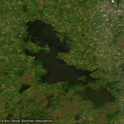
Lough Conn
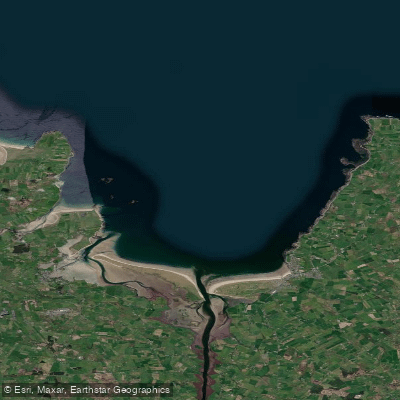
Killala Bay
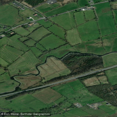
Castlebar
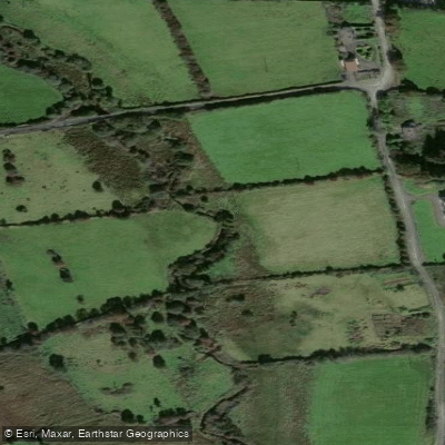
Finned 35
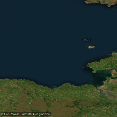
Donegal Bay Southern
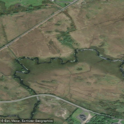
Bunnahowna 32

Suck
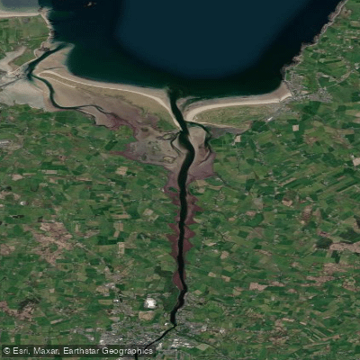
Moy Estuary
Cloonaghmore 34
Explore Mayo waters
Top fishing waters
No waters available right now.
Popular Cities
Loading popular cities...
Explore near Deel [Crossmolina]

Smarter Fishing Starts in the App.
onWater Fish gives you everything you need to plan smarter, fish better, and own every trip from first cast to last.