Tullaghan Bay
- Saltwater
- Estuary
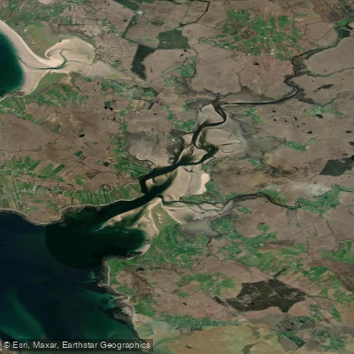
Tullaghan Bay
- Saltwater
- Estuary
- Sq. miles
- 6.6
- Boat Ramps
- 0
- Access Points
- 0
- Species
- 2
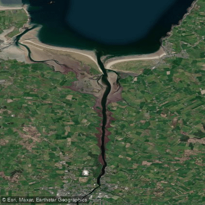
Tullaghan Bay is a tidal estuary on the northwest coast of County Mayo, Ireland, forming the marine outlet for the prolific Owenduff and Owenmore river systems. This scenic bay, part of the Wild Atlantic Way and designated as a Natural Heritage Area, drains a vast catchment of approximately 135 square kilometers of wild bogland, moor, and mountains. The bay itself is characterized by expansive intertidal flats visible at low tide, with the ruins of Fahy Castle overlooking the water from Doona Beach. It functions as a critical migratory corridor and holding area for anadromous salmon and sea trout moving between the Atlantic Ocean and the freshwater river systems upstream. A draft net fishery operates within the bay, targeting mixed stocks from the Owenmore, Owenduff, and Carrowmore systems.
Species & education
Learn what type of fish are at Tullaghan Bay and what's needed to catch them.



Fishing spots, boat ramps & amenities
Learn how to get on Tullaghan Bay. Uncover great fishing access points, boat ramps, and all the facilities you need for an unforgettable day on the water. Some locations shown may border or include private property. Always check property boundaries and applicable regulations before visiting. onWater's Public & Private Land layer can help you plan your access with confidence.
The most notable spot is the estuary area below the weir at Srahnamanragh Bridge, which is the publicly accessible free fishing section. This area contains transitional pools where fresh-run fish hold. The intertidal flats and channels of Tullaghan Bay itself are also fishing areas, particularly for the draft net fishery and for anglers targeting fish entering from the ocean.
Know where you can legally fish on Tullaghan Bay
See public and private land boundaries along the water, turn on private parcels with owner details to know where permission is required, and find land-trust parcels that offer permitted fishing access.
Co. Mayo licenses and regulations
No licenses or regulations available for Co. Mayo.
Take Tullaghan Bay with you
The onWater Fish app keeps this water's access points, species and conditions in your pocket, with the tools you use once you're there.
Use the map without signal
Download the map around Tullaghan Bay to use it offline when coverage drops.
Log your catches here
Keep a private fishing journal for Tullaghan Bay to find where and when fish are biting for you.
Get the onWater Fish app
Free on iOS and Android
Tides, wind & water conditions (10 day forecast)
On open water, wind and tide matter as much as the weather. See the best times to fish Tullaghan Bay and check the marine forecast before you launch.
Loading tide predictions…
Fishing near Tullaghan Bay
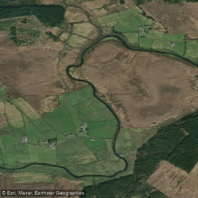
Deel [Crossmolina]
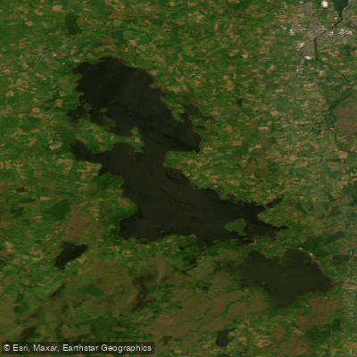
Lough Conn
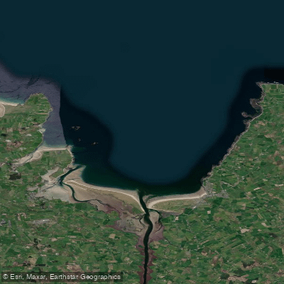
Killala Bay
Castlebar
Finned 35
Donegal Bay Southern
Bunnahowna 32

Suck
Moy Estuary
Cloonaghmore 34
Explore Mayo waters
Top fishing waters
No waters available right now.
Popular Cities
Loading popular cities...
Explore near Tullaghan Bay
Fish species
Nearby waters
More in Co. Mayo

Smarter Fishing Starts in the App.
onWater Fish gives you everything you need to plan smarter, fish better, and own every trip from first cast to last.