Pollagh 34
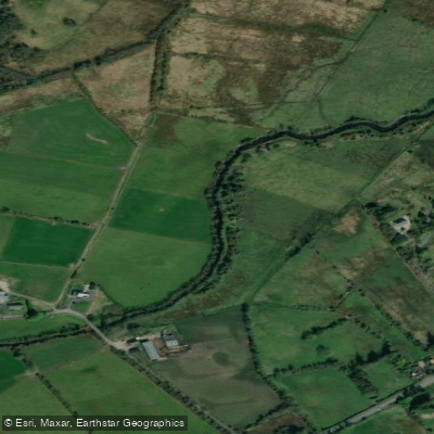
Pollagh 34
- Boat Ramps
- 0
- Access Points
- 0
- Species
- 0
Pollagh 34 is a designated survey point along the Pollagh River, a tributary within the Moy catchment in County Mayo, Ireland. This stretch of river is characteristic of the broader Pollagh system — a lowland agricultural watercourse that has been subject to historical channelization and drainage works, resulting in a largely straightened channel in many areas. Despite these pressures, the river retains ecological value and supports fish populations, with ongoing habitat restoration efforts aimed at improving the quality of this and surrounding reaches.
Species & education
Learn what type of fish are at Pollagh 34 and what's needed to catch them.
No species information available.
Fishing spots, boat ramps & amenities
Learn how to get on Pollagh 34. Uncover great fishing access points, boat ramps, and all the facilities you need for an unforgettable day on the water. Some locations shown may border or include private property. Always check property boundaries and applicable regulations before visiting. onWater's Public & Private Land layer can help you plan your access with confidence.
The most productive areas near Pollagh 34 are those where natural habitat complexity remains or has been restored. Paired deflectors noted in the vicinity (such as those at Pollagh207) create localized scour pools and current seams that concentrate fish. Areas where naturally trailing willows deflect flow into the bank also create excellent holding water. Depositional features with emergent vegetation growth represent shallower, food-rich zones worth prospecting, particularly during warmer months when invertebrate activity increases.
Know where you can legally fish on Pollagh 34
See public and private land boundaries along the water, turn on private parcels with owner details to know where permission is required, and find land-trust parcels that offer permitted fishing access.
Co. Mayo licenses and regulations
No licenses or regulations available for Co. Mayo.
Take Pollagh 34 with you
The onWater Fish app keeps this water's access points, species and conditions in your pocket, with the tools you use once you're there.
Use the map without signal
Download the map around Pollagh 34 to use it offline when coverage drops.
Log your catches here
Keep a private fishing journal for Pollagh 34 to find where and when fish are biting for you.
Get the onWater Fish app
Free on iOS and Android
Water and weather conditions (10 day forecast)
See the best times to fish Pollagh 34 and check the forecast before you go.
No forecast data available.
Fishing near Pollagh 34

Suck
Castlebar
Inner Clew Bay

Lough Corrib
Deel [Crossmolina]
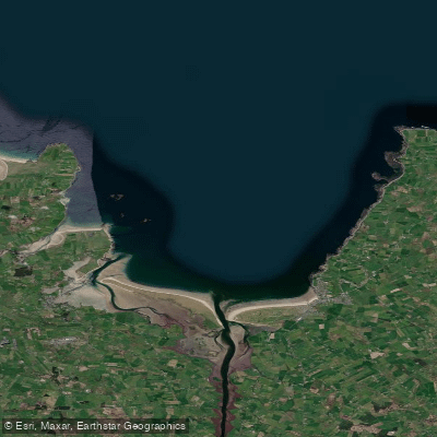
Killala Bay
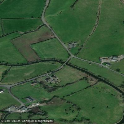
Manulla 34
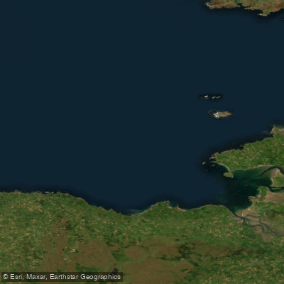
Donegal Bay Southern
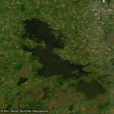
Lough Conn
Explore Mayo waters
Top fishing waters
No waters available right now.
Popular Cities
Loading popular cities...
Explore near Pollagh 34

Smarter Fishing Starts in the App.
onWater Fish gives you everything you need to plan smarter, fish better, and own every trip from first cast to last.