Marie Curtis Park Access
Marie Curtis Park Access
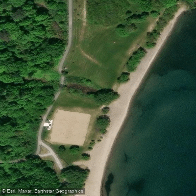
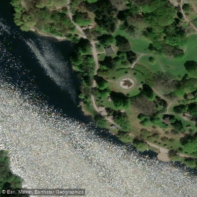
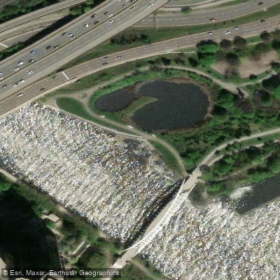
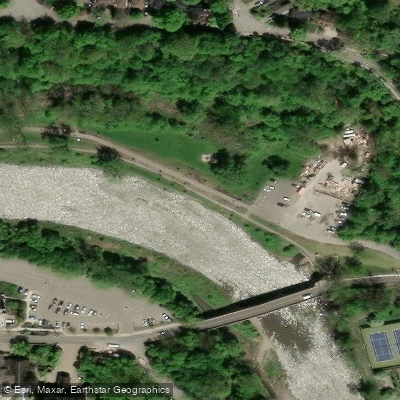
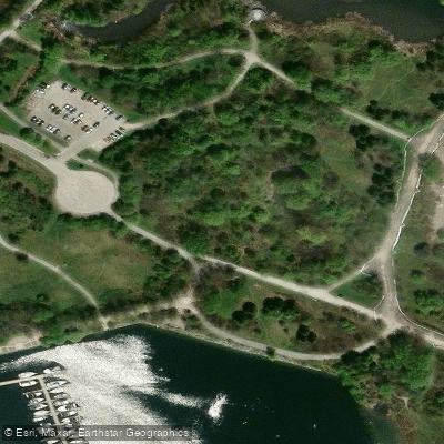
Marie Curtis Park Access is a water-trail entry point where Etobicoke Creek meets Lake Ontario at the southwestern edge of Toronto, near Browns Line and Lake Shore Boulevard.
The mouth of the creek forms a deep channel into the lake, making this a notable access location for paddlers and anglers moving between the creek and open water.
The surrounding park includes two cement boat launch ramps on the west side of the creek, providing direct access to Lake Ontario. Recreational trails here connect to the broader Waterfront Trail system, which extends along the Lake Ontario shoreline.
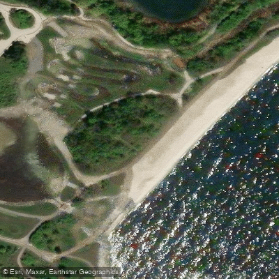
The creek corridor attracts seasonal runs of salmon and trout, and the confluence area supports a variety of wildlife amid deciduous forest, meadow, and marsh habitat.
More ways to access Etobicoke Creek
Explore the wonders of Etobicoke Creek! Find excellent fishing spots, easy access to boat ramps, and all the amenities you need for a memorable day by the water. Your adventure starts here.
Water and weather conditions (10 day forecast)
Check the forecast at Marie Curtis Park Access before you go fishing.
No forecast data available.
Fishing near Marie Curtis Park Access
Credit River
Etobicoke Creek

Mimico Creek
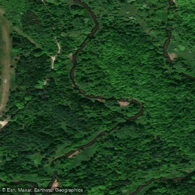
Humber River
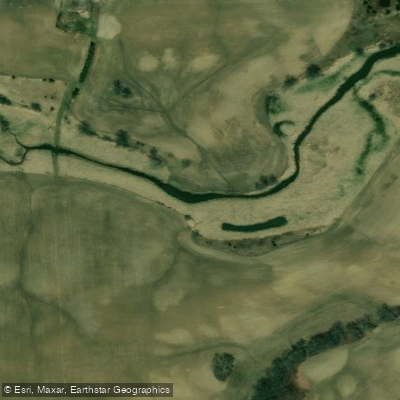
Sixteen Mile Creek
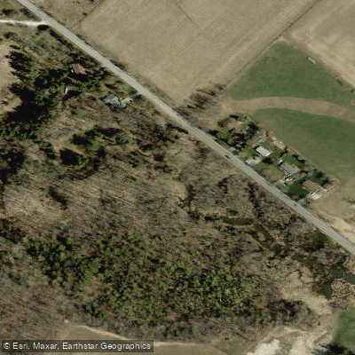
Middle Sixteen Mile Creek

East Humber River

Cooksville Creek
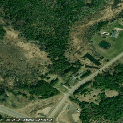
Bronte Creek

Don River West Branch
On licenses and regulations
Explore On waters
Top fishing waters
No waters available right now.
Popular Cities
Loading popular cities...
Explore near Marie Curtis Park Access
On this water
Nearby spots
- Boat Ramp A
- Boat Ramp B
- Bristol Marine Ltd. Boat Ramp
- Credit Village Marina Boat Ramp
- Humber Bay Park Boat Ramp
- Humber Bay West Boat Ramp
- Humber Bay West East Boat Ramp
- Humber River Kayak Launch
- Lake Front Promenade Marina Boat Ramp
- Lakefront Promenade Park Boat Ramp
- Marie Curtis Park Boat Ramp
- Motor Yachts Of Distinction Boat Ramp
- All 22 nearby spots
Nearby waters
More in On

Smarter Fishing Starts in the App.
onWater Fish gives you everything you need to plan smarter, fish better, and own every trip from first cast to last.