Shallow Bay
- Saltwater
- Bay
Shallow Bay
- Saltwater
- Bay
- Sq. miles
- 125
- Boat Ramps
- 0
- Access Points
- 0
- Species
- 3
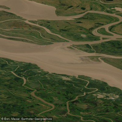
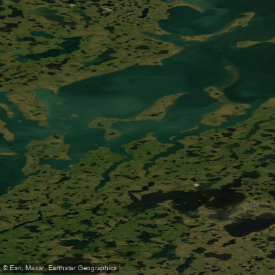
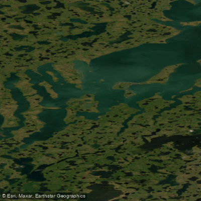
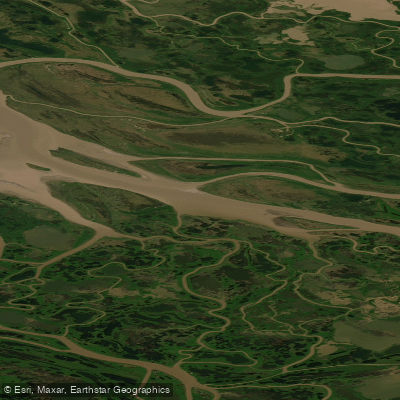
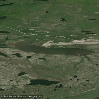
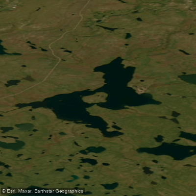
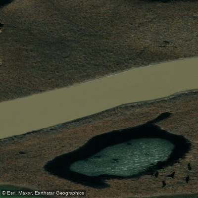
Shallow Bay is a significant and expansive saltwater embayment on the western side of the Mackenzie River Delta within the Inuvialuit Settlement Region of the Northwest Territories. It forms a key part of the Tarium Niryutait Marine Protected Area, Canada's first Arctic MPA, established to protect beluga whales and the rich biodiversity of fish and bird species. The bay is characterized by its very shallow waters, which are heavily influenced by the immense freshwater outflow of the Mackenzie River during the summer months. This creates a dynamic estuarine environment where the mixing of river water and the Beaufort Sea supports a unique and productive ecosystem. The area is of vital cultural and subsistence importance to the residents of Inuvik and Aklavik, serving as a traditional fishing ground. Seasonal land-fast sea ice defines the winter landscape, with the bay serving as an overwintering habitat for several fish species.
Species & education
Learn what type of fish are at Shallow Bay and what's needed to catch them.

Find which waters have the species you want to catch

Broad Whitefish
Coregonus nasus
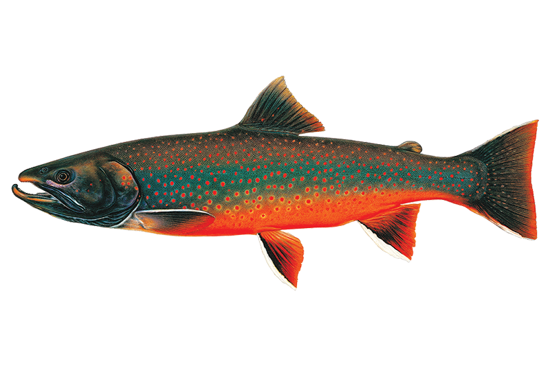
Dolly Varden
Salvelinus malma

Pacific Herring
Clupea pallasii
Fishing spots, boat ramps & amenities
Learn how to get on Shallow Bay. Uncover great fishing access points, boat ramps, and all the facilities you need for an unforgettable day on the water. Some locations shown may border or include private property. Always check property boundaries and applicable regulations before visiting. onWater's Public & Private Land layer can help you plan your access with confidence.
Specific named spots within Shallow Bay itself are not detailed, but the area is recognized as an important traditional fishing ground. Productive fishing likely occurs along the transition zones where the delta channels, like the Napoiak Channel, meet the open bay, and along the shallow coastal margins. The underwater structure is defined by the gentle, silty bathymetry typical of a river delta.
Know where you can legally fish on Shallow Bay
See public and private land boundaries along the water, turn on private parcels with owner details to know where permission is required, and find land-trust parcels that offer permitted fishing access.
Nt licenses and regulations
No licenses or regulations available for Nt.
Take Shallow Bay with you
The onWater Fish app keeps this water's access points, species and conditions in your pocket, with the tools you use once you're there.
Use the map without signal
Download the map around Shallow Bay to use it offline when coverage drops.
Log your catches here
Keep a private fishing journal for Shallow Bay to find where and when fish are biting for you.
Get the onWater Fish app
Free on iOS and Android
Tides, wind & water conditions (10 day forecast)
On open water, wind and tide matter as much as the weather. See the best times to fish Shallow Bay and check the marine forecast before you launch.
Loading tide predictions…
Explore Nt waters
Top fishing waters
No waters available right now.
Popular Cities
Loading popular cities...
Explore near Shallow Bay

Smarter Fishing Starts in the App.
onWater Fish gives you everything you need to plan smarter, fish better, and own every trip from first cast to last.