Bay of Islands
- Saltwater
- Bay
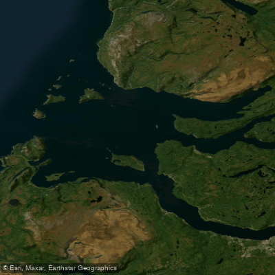
Bay of Islands
- Saltwater
- Bay
- Sq. miles
- 185
- Boat Ramps
- 0
- Access Points
- 0
- Species
- 11
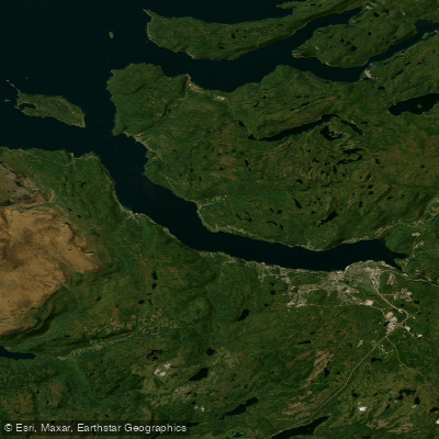
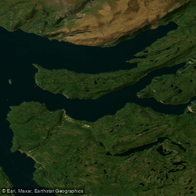
The Bay of Islands is a dramatic, deep-water inlet on the west coast of Newfoundland, characterized by steep, mountainous shorelines and numerous islands. The interior landscape forms a high plateau, with some islands rising 500 feet and adjacent shores reaching up to 1,000 feet above tide level, creating a fjord-like environment. This complex coastline, first charted in detail by Captain James Cook in the 1760s, provides a rich marine habitat with a mix of deep channels and protected inshore waters that support a variety of fish species. The area is integral to the social and economic fabric of western Newfoundland, with a strong historical and contemporary connection to the fishing industry.
Species & education
Learn what type of fish are at Bay of Islands and what's needed to catch them.

Find which waters have the species you want to catch

Acadian Redfish
Sebastes fasciatus

American Plaice
Hippoglossoides platessoides

American Shad
Alosa sapidissima

Atlantic Herring
Clupea harengus

Atlantic Mackerel
Scomber scombrus

Atlantic Tomcod
Microgadus tomcod

Brook Trout
Salvelinus fontinalis

Pacific Cod
Gadus macrocephalus

Rainbow Smelt
Osmerus mordax

Winter Flounder
Pseudopleuronectes americanus

Witch Flounder
Glyptocephalus cynoglossus
Fishing spots, boat ramps & amenities
Learn how to get on Bay of Islands. Uncover great fishing access points, boat ramps, and all the facilities you need for an unforgettable day on the water. Some locations shown may border or include private property. Always check property boundaries and applicable regulations before visiting. onWater's Public & Private Land layer can help you plan your access with confidence.
Productive areas include the current seams and eddies around the many islands within the bay. The mouth of the Humber River and adjacent estuaries are key spots, especially during seasonal runs. The deep channels between islands and along the steep shorelines hold larger predatory fish. Shore anglers find success off rocky points and headlands where deep water is accessible.
Know where you can legally fish on Bay of Islands
See public and private land boundaries along the water, turn on private parcels with owner details to know where permission is required, and find land-trust parcels that offer permitted fishing access.
Nl licenses and regulations
No licenses or regulations available for Nl.
Take Bay of Islands with you
The onWater Fish app keeps this water's access points, species and conditions in your pocket, with the tools you use once you're there.
Use the map without signal
Download the map around Bay of Islands to use it offline when coverage drops.
Log your catches here
Keep a private fishing journal for Bay of Islands to find where and when fish are biting for you.
Get the onWater Fish app
Free on iOS and Android
Tides, wind & water conditions (10 day forecast)
On open water, wind and tide matter as much as the weather. See the best times to fish Bay of Islands and check the marine forecast before you launch.
Loading tide predictions…
Explore Nl waters
Top fishing waters
No waters available right now.
Popular Cities
Loading popular cities...
Explore near Bay of Islands
Fish species
Nearby waters
More in Nl

Smarter Fishing Starts in the App.
onWater Fish gives you everything you need to plan smarter, fish better, and own every trip from first cast to last.