Rio das Antas
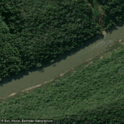
Rio das Antas
- Boat Ramps
- 0
- Access Points
- 0
- Species
- 6
Rio das Antas is a significant river in the state of Rio Grande do Sul, in southern Brazil, forming the upper portion of the Taquari-Antas river basin — one of the main sub-basins of the Patos Lagoon drainage system, which ultimately flows into the Atlantic Ocean. The river originates on a high basaltic plateau at elevations ranging from approximately 800 to 1,200 meters above sea level, then carves through deeply incised valleys as it descends toward the lowlands, where it transitions into the Taquari river. The basin covers a total area of 26,470 km², making it a substantial watershed with diverse aquatic habitats ranging from fast-moving highland streams to broader, lower-gradient reaches. The region has been shaped by a combination of natural basaltic geology and significant human activity, including agriculture, urban development, and an extensive network of hydroelectric power plants — with 26 facilities ranging from less than 1 MW to 130 MW in operation or under construction in the broader basin as of the early 2010s.
Species & education
Learn what type of fish are at Rio das Antas and what's needed to catch them.

Find which waters have the species you want to catch

Common Carp
Cyprinus carpio

Dama
Salminus brasiliensis

Nile Tilapia
Oreochromis niloticus

Peixe-rei
Odontesthes bonariensis

Sábalo
Prochilodus lineatus

Tarango
Hoplias malabaricus
Fishing spots, boat ramps & amenities
Learn how to get on Rio das Antas. Uncover great fishing access points, boat ramps, and all the facilities you need for an unforgettable day on the water. Some locations shown may border or include private property. Always check property boundaries and applicable regulations before visiting. onWater's Public & Private Land layer can help you plan your access with confidence.
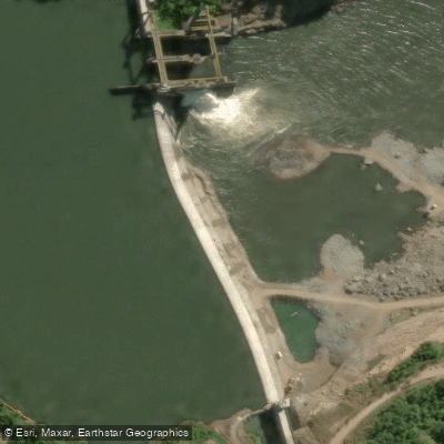
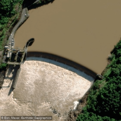
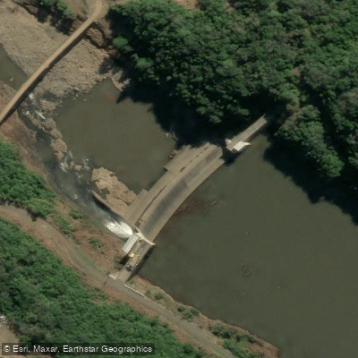

Know where you can legally fish on Rio das Antas
See public and private land boundaries along the water, turn on private parcels with owner details to know where permission is required, and find land-trust parcels that offer permitted fishing access.
Rio Grande Do Sul licenses and regulations
No licenses or regulations available for Rio Grande Do Sul.
Take Rio das Antas with you
The onWater Fish app keeps this water's access points, species and conditions in your pocket, with the tools you use once you're there.
Use the map without signal
Download the map around Rio das Antas to use it offline when coverage drops.
Log your catches here
Keep a private fishing journal for Rio das Antas to find where and when fish are biting for you.
Get the onWater Fish app
Free on iOS and Android
Water and weather conditions (10 day forecast)
See the best times to fish Rio das Antas and check the forecast before you go.
Rio Das Antas (S. José Dos Ausentes)
All Flow Stations
Fishing near Rio das Antas
Rio Piaí

Rio Curuçu
Rio Turvo
Rio Taquari
Rio São Marcos
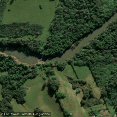
Rio dos Sinos
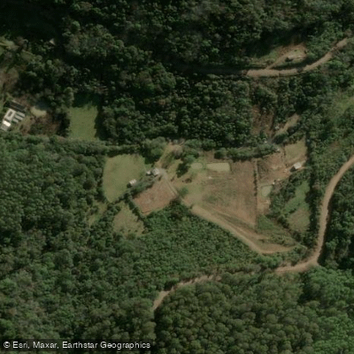
Rio Nicolau
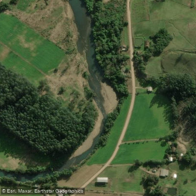
Rio Rolante
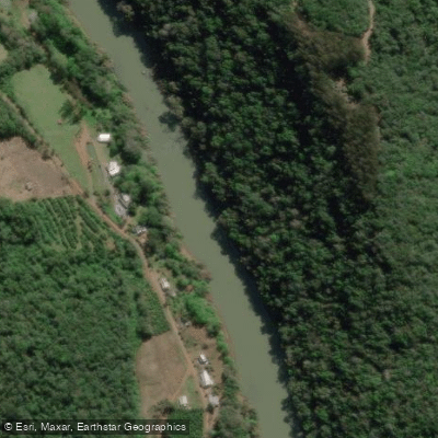
Rio Guaporé
Explore Rio Grande Do Sul waters
Top fishing waters
No waters available right now.
Popular Cities
Loading popular cities...
Explore near Rio das Antas
Fishing spots
Nearby waters
More in Rio Grande Do Sul

Smarter Fishing Starts in the App.
onWater Fish gives you everything you need to plan smarter, fish better, and own every trip from first cast to last.