Lower Daintree, Cape Tribulation Road
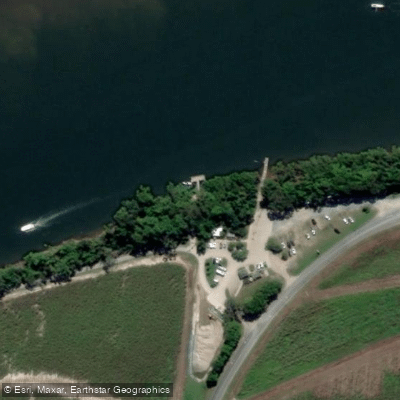
Lower Daintree, Cape Tribulation Road
Lower Daintree sits on the southern bank of the Daintree River where Cape Tribulation Road meets the Daintree River Ferry crossing, roughly 50 kilometres north of Port Douglas.
The cable ferry here provides the only sealed road access across the river, connecting the southern road network with the northern Daintree Rainforest and Cape Tribulation.
The crossing itself takes approximately five to fifteen minutes, with the ferry running continuously throughout the day without advance bookings required. During peak season, short waits are common.
The surrounding river scenery — mangroves, birdlife, and the possibility of spotting crocodiles — makes the crossing a notable experience in its own right.
Once across, Cape Tribulation Road continues north through UNESCO World Heritage-listed rainforest, fully sealed as far as Cape Tribulation some 35 kilometres beyond the ferry.
The crossing serves as the practical gateway to this section of Daintree National Park, with length and weight restrictions applying to vehicles using the road.
More ways to access Daintree River
Explore the wonders of Daintree River! Find excellent fishing spots, easy access to boat ramps, and all the amenities you need for a memorable day by the water. Your adventure starts here.
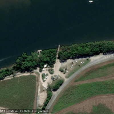
Water and weather conditions (10 day forecast)
Check the forecast at Lower Daintree, Cape Tribulation Road before you go fishing.
No forecast data available.
Fishing near Lower Daintree, Cape Tribulation Road
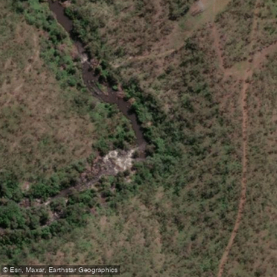
Barron River
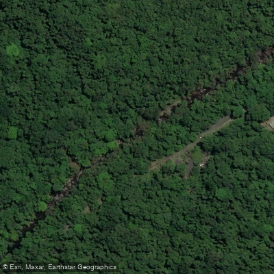
Freshwater Creek
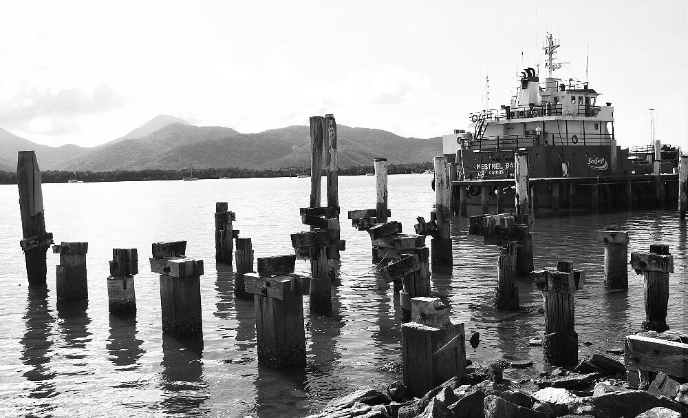
Trinity Inlet
Clohesy River
Mulgrave River
Arlington Reef

Hills Creek

Tinaroo Creek
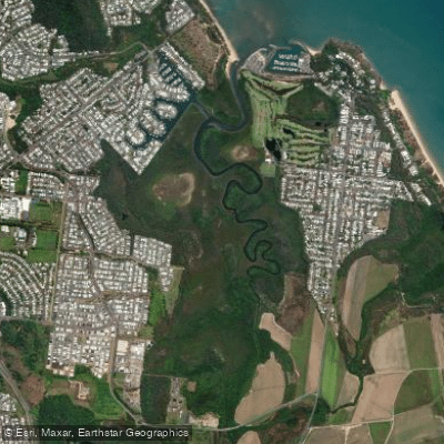
Half Moon Creek
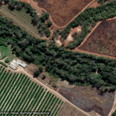
Emerald Creek
Queensland licenses and regulations
Explore Queensland waters
Top fishing waters
No waters available right now.
Popular Cities
Loading popular cities...
Explore near Lower Daintree, Cape Tribulation Road

Smarter Fishing Starts in the App.
onWater Fish gives you everything you need to plan smarter, fish better, and own every trip from first cast to last.