Lower Daintree, Cape Tribulation Road
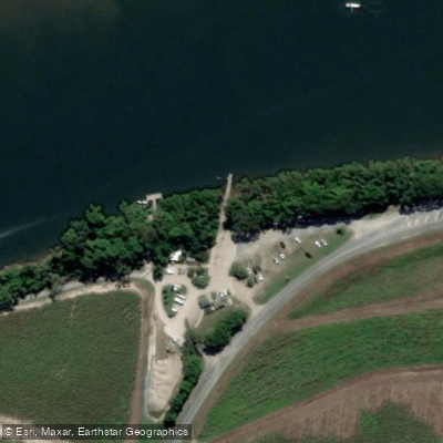
Lower Daintree, Cape Tribulation Road
Lower Daintree, on the southern bank of the Daintree River, is the departure point for the Daintree Ferry — the only vehicle crossing connecting Far North Queensland's road network to the rainforest and beaches north of the river, including Cape Tribulation.
The ferry carries both vehicles and foot passengers and operates continuously from 5 am to midnight daily, including public holidays.
Once across, travelers join Cape Tribulation Road, a sealed but narrow route that climbs the Alexandra Range before winding north through the UNESCO World Heritage-listed Daintree Rainforest.
During peak season, queues at the crossing can be expected, and the ferry may suspend service during severe weather. This crossing effectively serves as the gateway to one of the world's oldest surviving tropical rainforests.
Nearby points of interest
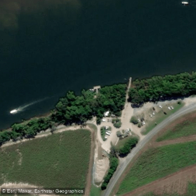
Find excellent fishing spots, easy access to boat ramps, and all the amenities you need for a memorable day. Your adventure starts here.
Water and weather conditions (10 day forecast)
Check the forecast at Lower Daintree, Cape Tribulation Road before you go fishing.
No forecast data available.
Fishing near Lower Daintree, Cape Tribulation Road
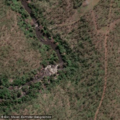
Barron River
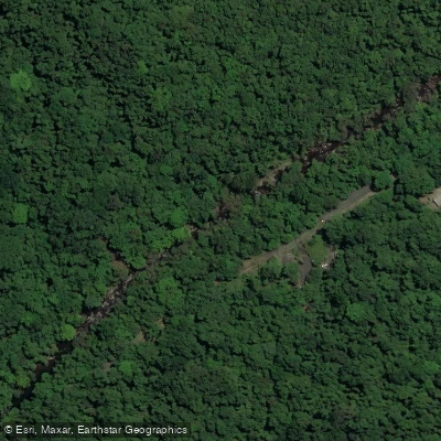
Freshwater Creek
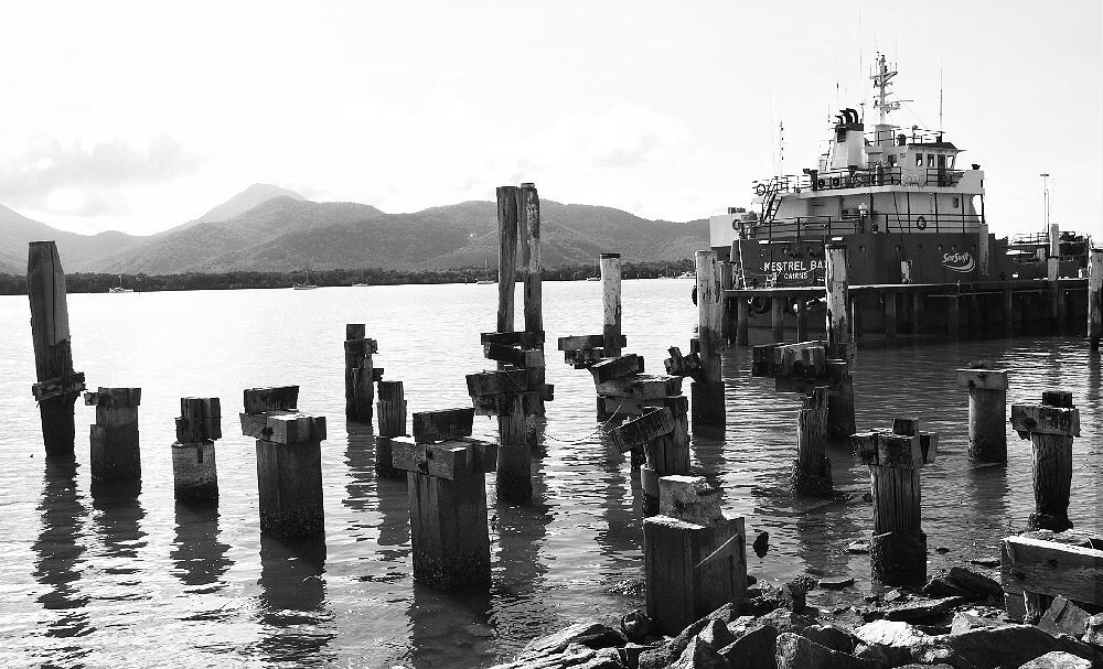
Trinity Inlet
Clohesy River
Mulgrave River
Arlington Reef
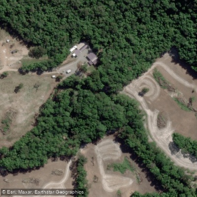
Hills Creek
Tinaroo Creek
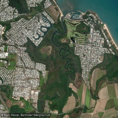
Half Moon Creek
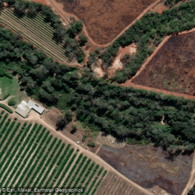
Emerald Creek
Queensland licenses and regulations
Explore Queensland waters
Top fishing waters
No waters available right now.
Popular Cities
Loading popular cities...
Explore near Lower Daintree, Cape Tribulation Road

Smarter Fishing Starts in the App.
onWater Fish gives you everything you need to plan smarter, fish better, and own every trip from first cast to last.