Lower Daintree, Cape Tribulation Road
Lower Daintree, Cape Tribulation Road
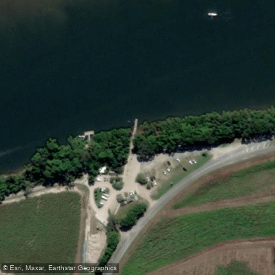
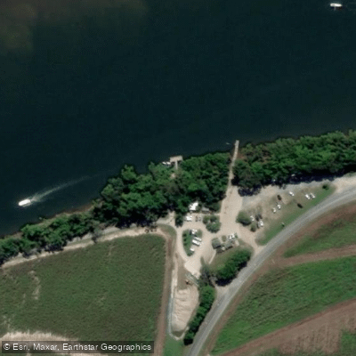
The Lower Daintree boat ramp sits on the Daintree River approximately half a kilometre upstream from the vehicle ferry crossing on Cape Tribulation Road. It is an all-tidal facility, meaning it can be used regardless of tide height.
The single-lane concrete ramp is rated suitable for vessels up to around 16 feet, though its relatively narrow, angled layout can be tricky for first-timers — slow and careful maneuvering is advised. Water visibility is typically murky.
A pontoon is located alongside the ramp, and parking is generally ample, though busy periods may mean a short wait to launch or retrieve. The ramp provides good access to the broader Daintree River, the river mouth, and nearby Snapper Island.
Boaters should be aware of numerous shallow sandbars throughout the river system. Public toilets are available in the area near the ferry ticket booth. A floating walkway has also been noted as a recent addition to the facility.
Nearby points of interest
Find excellent fishing spots, easy access to boat ramps, and all the amenities you need for a memorable day. Your adventure starts here.
Water and weather conditions (10 day forecast)
Check the forecast at Lower Daintree, Cape Tribulation Road before you go fishing.
No forecast data available.
Fishing near Lower Daintree, Cape Tribulation Road
Barron River
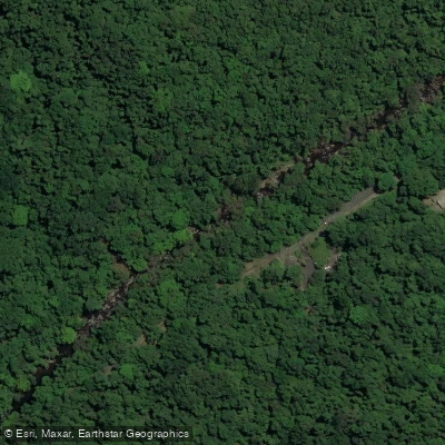
Freshwater Creek
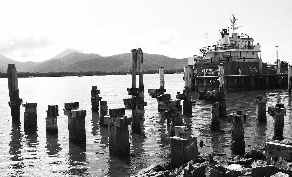
Trinity Inlet
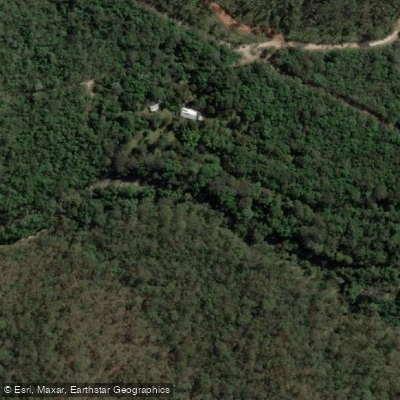
Clohesy River
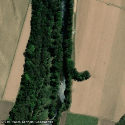
Mulgrave River
Arlington Reef
Hills Creek
Tinaroo Creek
Half Moon Creek
Emerald Creek
Queensland licenses and regulations
Explore Queensland waters
Top fishing waters
No waters available right now.
Popular Cities
Loading popular cities...
Explore near Lower Daintree, Cape Tribulation Road

Smarter Fishing Starts in the App.
onWater Fish gives you everything you need to plan smarter, fish better, and own every trip from first cast to last.