Fishing in Murrumbidgee Valley National Park
- National Park
- Lakes
- 5
- Rivers
- 13
- Access
- 0
- Boat Ramps
- 0
- Shops
- 0
- Species
- 14
Murrumbidgee Valley National Park runs along a long stretch of the Murrumbidgee River in the Riverina region of New South Wales, spreading across multiple reaches near Narrandera, Leeton, Yanco, Hay, and Balranald.
The park protects river red gum forest — the largest continuous tract of it in the world — and the fishing here is inseparable from that landscape: shaded banks, fallen timber, deep bends, and a river that moves at its own pace through flat inland country.
The Murrumbidgee River is the backbone of the fishing. This reach of the river is known for Murray cod holding around deep holes, undercut banks, and submerged timber.
The structure is consistent along much of the park frontage, and the river is noted as being largely unaffected by blue-green algal blooms, which makes it fishable across more of the year than some other inland systems. Redfin and bream are also present.
The Narrandera reach is particularly well regarded, and the paddle from Narrandera to Yanco Weir — about four hours by canoe — gives access to water that bank anglers rarely reach.
Beyond the main river, the park holds a network of smaller waters: creeks including Uri, Cudgel, Euroley, Guises, Banandra, Yarangery, Beavers, Yarradda, and Euroley, along with lagoons such as Euwarderry and Coononcoocabil.
The Sturt Canal also runs through the park's irrigation country.
These waters vary in character and access, and conditions in the smaller creeks and lagoons shift considerably with river levels and seasonal flooding — the red gums here depend on periodic inundation, and so do many of the fish.
Access across the park is generally self-sufficient. There are few facilities, and finding your own way to the river is part of the deal.
A NSW Recreational Fishing Licence is required to fish here — check current requirements with NSW DPI before you go, as rules around native species apply. The park sits on Wiradjuri Country, and that connection to the river runs deep.
The fish don't care about the park boundary, but the country around them is being looked after. Fish accordingly.
Top waters to fish near Murrumbidgee Valley National Park

Murrumbidgee River
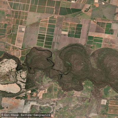
Coononcoocabil Lagoon
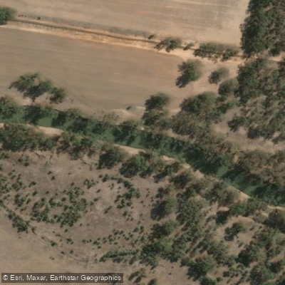
Old Man Creek
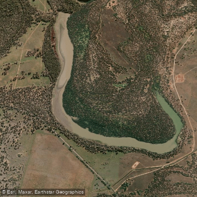
Yarradda Lagoon
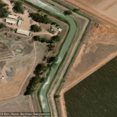
Sturt Canal
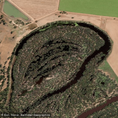
Yarramungueer Lagoon
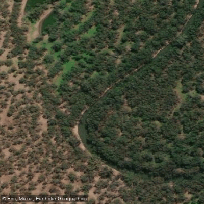
Uri Creek
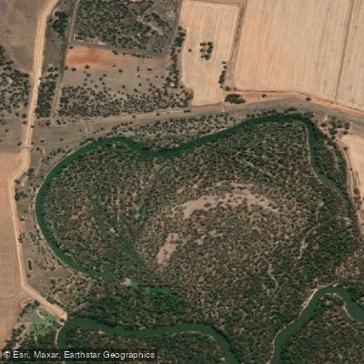
Dunnoon Lagoon
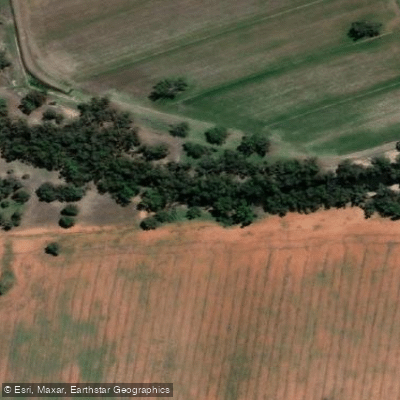
Cudgel Creek
Euroley Creek
Species & education
Learn what type of fish are in Murrumbidgee Valley National Park and what's needed to catch them.

Find which waters have the species you want to catch

Australian Smelt
Retropinna semoni

Brown Trout
Salmo trutta

Carassius auratus
Carassius auratus

Common Carp
Cyprinus carpio

Tench
Tinca tinca

European Perch
Perca fluviatilis

Flathead Galaxias
Galaxias rostratus

Golden Perch
Macquaria ambigua

Macquarie Perch
Macquaria australasica

Mountain Galaxias
Galaxias olidus

Murray River Cod
Maccullochella peelii

Silver Perch
Bidyanus bidyanus

Stocky Galaxias
Galaxias tantangara

Trout Cod
Maccullochella macquariensis
Water and weather conditions (10 day forecast)
See the best times to fish Murrumbidgee Valley National Park and check the forecast before you go.
No forecast data available.
Fish smarter with real-time insights
Whether you're en route and conditions shift or you're looking for the best spot based on current flows, we enable you to make informed decisions on the fly.




Fishing near Murrumbidgee Valley National Park
Loading...
Gateway towns
Where to base yourself for fishing in Murrumbidgee Valley National Park.
- NarranderaNSW
Closest town to the park's eastern precincts, with shops, accommodation, and the starting point for the Narrandera to Yanco weir canoe route.
- HayNSW
Nearest town to the park's western precincts, serving as the main base for visitors exploring the Hay and Maude sections of the river.
- LeetonNSW
Gateway to the Turkey Flat picnic area, bird hide, and Middle Beach swimming and paddling spots within the park.
- BalranaldNSW
Base for the park's southern mallee-edge precincts along the Murrumbidgee River near the Victorian border.
Explore Murrumbidgee Valley National Park
Top fishing waters
Popular Cities
Loading popular cities...

Smarter Fishing Starts in the App.
onWater Fish gives you everything you need to plan smarter, fish better, and own every trip from first cast to last.