Fishing in Murray-Sunset National Park
- National Park
- Lakes
- 19
- Rivers
- 10
- Access
- 0
- Boat Ramps
- 1
- Shops
- 0
- Species
- 15
Murray-Sunset National Park sits in Victoria's far north-west corner, where the Murray River floodplains meet the semi-arid mallee.
The fishing here is river and wetland fishing — slow water, red gum country, and the kind of channels and backwaters that come alive when the floodplains fill.
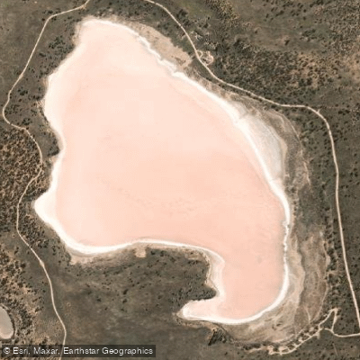
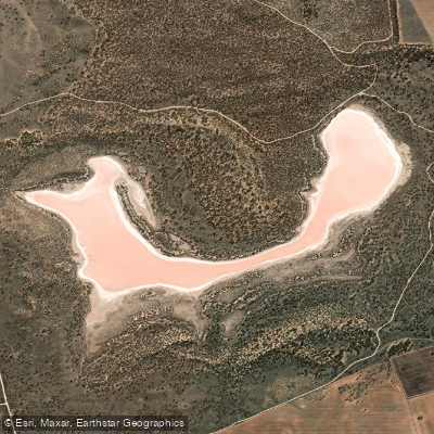
The park stretches from Lindsay Island in the north down toward the Pink Lakes near Underbool, and the waters that matter to anglers are concentrated in that northern river country.
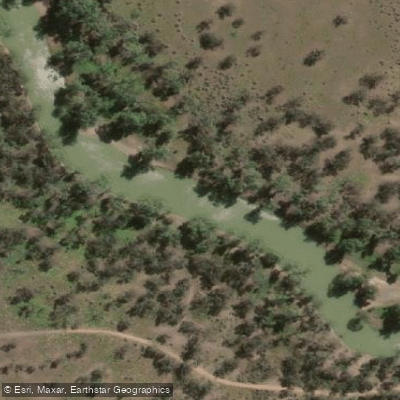
The floodplains around Walpolla Island, Lindsay Island, and Mulcra Island are the core of it. The Lindsay River and Mullaroo Creek are the named waters that run through this country, along with smaller channels like Wallpolla Creek and Potterwalkagee Creek.
Canoe and boat access is the practical way to reach much of this water — the floodplain network doesn't lend itself to bank fishing from a car park.
Getting in by water also means you'll cover the habitat that holds fish: woody structure, flooded timber, the edges where current slows.
OzFish Unlimited has been working in this country alongside First Nations groups, the Murray Darling Wetland Working Group, and recreational anglers to install woody and rocky habitat structures through the Sunraysia region.
That kind of work matters here — the fish populations in these floodplain systems are directly tied to structural habitat, and restoration is ongoing. A Victorian Recreational Fishing Licence is required to fish in the park.
Check with Parks Victoria for any conditions specific to the park before you go — rules in protected areas can differ from general state regulations, and it's worth confirming current requirements directly. This is remote country.
Self-sufficiency matters more than technique out here, and the fishing rewards patience and local knowledge over anything else.
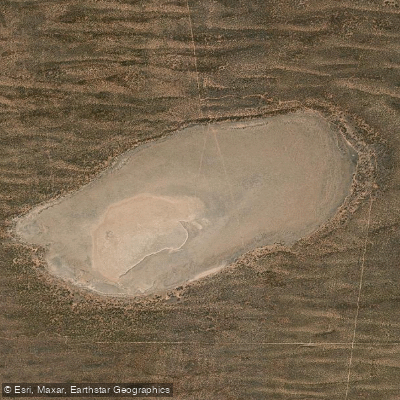
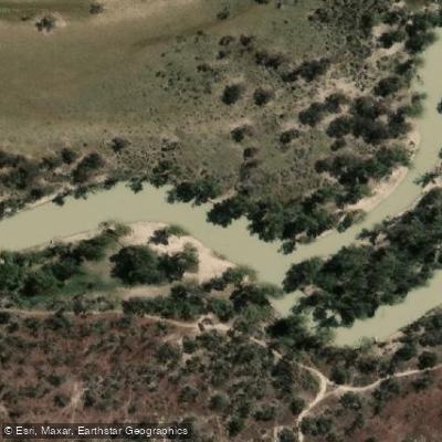
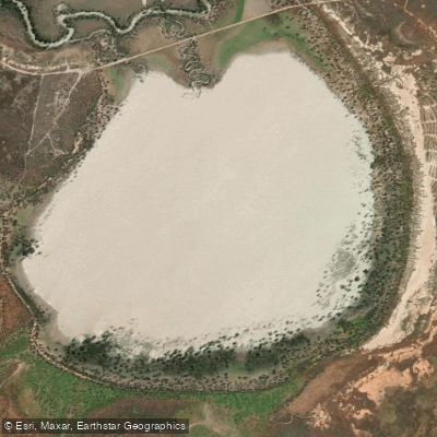
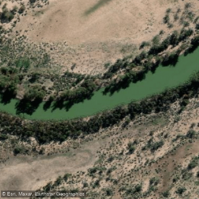
Top waters to fish near Murray Sunset National Park

Species & education
Learn what type of fish are in Murray-Sunset National Park and what's needed to catch them.

Find which waters have the species you want to catch

Australian Smelt
Retropinna semoni

Brown Trout
Salmo trutta

Carassius auratus
Carassius auratus

Climbing Galaxias
Galaxias brevipinnis

Common Carp
Cyprinus carpio

Tench
Tinca tinca

European Perch
Perca fluviatilis

Flathead Galaxias
Galaxias rostratus

Freshwater Catfish
Tandanus tandanus

Golden Perch
Macquaria ambigua

Macquarie Perch
Macquaria australasica

Mountain Galaxias
Galaxias olidus

Murray River Cod
Maccullochella peelii

Obscure Galaxias
Galaxias oliros

Puye
Galaxias maculatus
Water and weather conditions (10 day forecast)
See the best times to fish Murray-Sunset National Park and check the forecast before you go.
No forecast data available.
Fish smarter with real-time insights
Whether you're en route and conditions shift or you're looking for the best spot based on current flows, we enable you to make informed decisions on the fly.




Fishing near Murray-Sunset National Park
Loading...
Gateway towns
Where to base yourself for fishing in Murray-Sunset National Park.
- RobinvaleVictoria
Nearby Murray River town serving as a base for the park's northern river and island areas, with accommodation and supplies.
- MurrayvilleVictoria
Small Mallee town on the park's eastern edge, used as an access point and supply stop for visitors heading into the park.
- UnderboolVictoria
Closest township to the Pink Lakes via the Mallee Highway, making it the main jumping-off point for that iconic area of the park.
Explore Murray-Sunset National Park
Top fishing waters
Popular Cities
Loading popular cities...

Smarter Fishing Starts in the App.
onWater Fish gives you everything you need to plan smarter, fish better, and own every trip from first cast to last.