Fishing in Cradle Mountain-Lake St Clair National Park
- National Park
- Lakes
- 9
- Rivers
- 47
- Access
- 0
- Boat Ramps
- 1
- Shops
- 0
- Species
- 11
Cradle Mountain-Lake St Clair National Park spans the central Tasmanian highlands, running from the alpine country around Cradle Mountain in the north down to Lake St Clair in the south.
The park sits within the Tasmanian Wilderness World Heritage Area and holds a network of glacial lakes, tarns, and rivers that drain through some of the most remote terrain in Australia.
The fishing here is almost entirely trout fishing — brown and rainbow — in cold, clear water at altitude. Lake St Clair is the anchor.
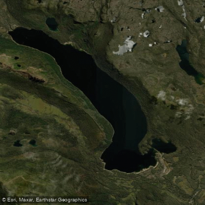
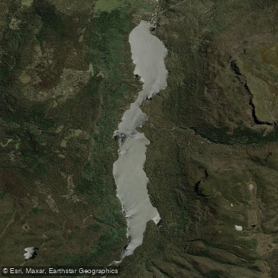
Australia's deepest lake, it fishes well from late spring through autumn, with gum beetle falls, mayfly hatches, and midge activity in the mornings giving fly anglers reliable surface fishing through the season.
Fishing and boating are both permitted on the lake. One rule applies across the entire park: bait fishing is not permitted. That shapes how you approach every water here — fly or lure, nothing else.
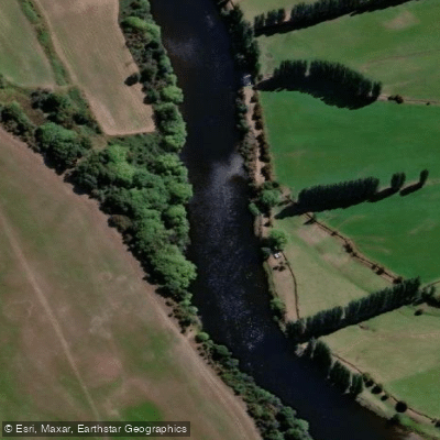
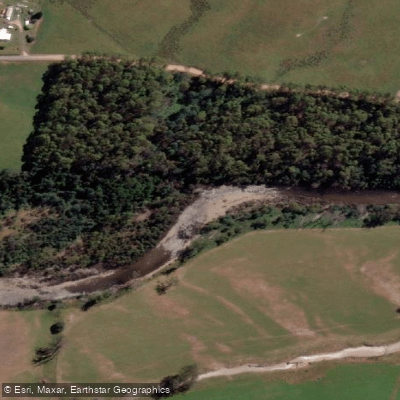
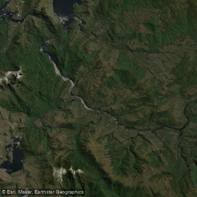
The rivers that feed and drain the park — the Derwent, Narcissus, Forth, Mersey, Murchison, Dove, and others — run through country that is only reachable on foot or by boat across the lake.
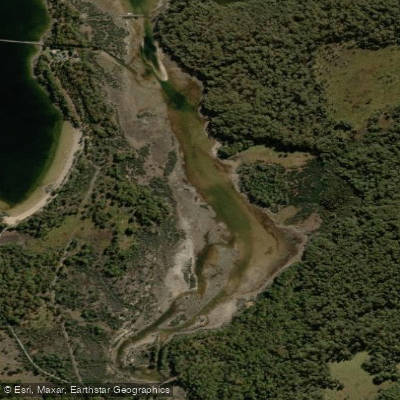
The Narcissus River meets Lake St Clair at its northern end, accessible via the ferry that crosses the lake or by walking the Overland Track.
That remoteness is part of what defines the fishing: most of these waters take real effort to reach, and the ones that do see pressure are still fishing within a protected landscape where the habitat is intact.
Check current regulations with the Inland Fisheries Service Tasmania and the Parks & Wildlife Service Tasmania before you go.
Rules around seasons, bag limits, and any water-specific conditions are updated regularly, and fishing inside a national park adds a layer worth confirming before you rig up.
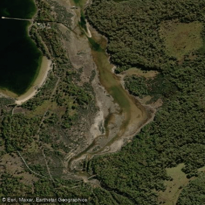
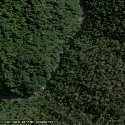
Top waters to fish near Cradle Mountain Lake St Clair National Park
Species & education
Learn what type of fish are in Cradle Mountain-Lake St Clair National Park and what's needed to catch them.

Find which waters have the species you want to catch

Australian Grayling
Prototroctes maraena

Brown Trout
Salmo trutta

Climbing Galaxias
Galaxias brevipinnis

Tench
Tinca tinca

European Perch
Perca fluviatilis

Puye
Galaxias maculatus

River Blackfish
Gadopsis marmoratus

Short-finned Eel
Anguilla australis

Spotted Galaxias
Galaxias truttaceus

Tasmanian Smelt
Retropinna tasmanica

Rainbow Trout
Oncorhynchus mykiss
Water and weather conditions (10 day forecast)
See the best times to fish Cradle Mountain-Lake St Clair National Park and check the forecast before you go.
No forecast data available.
Fish smarter with real-time insights
Whether you're en route and conditions shift or you're looking for the best spot based on current flows, we enable you to make informed decisions on the fly.




Fishing near Cradle Mountain-Lake St Clair National Park
Loading...
Gateway towns
Where to base yourself for fishing in Cradle Mountain-Lake St Clair National Park.
- Cradle MountainTasmania
Northern entrance village with the visitor centre, lodges, and shuttle bus access into the park.
- Derwent BridgeTasmania
Southern entrance settlement serving Lake St Clair with accommodation, a roadhouse, and trailhead access.
- LauncestonTasmania
Largest nearby city to the north, a common base for guided tours and self-drive trips to the northern entrance.
- DevonportTasmania
Ferry port to the northwest that serves as a starting point for visitors heading to the northern entrance.
Explore Cradle Mountain-Lake St Clair National Park
Top fishing waters
Popular Cities
Loading popular cities...

Smarter Fishing Starts in the App.
onWater Fish gives you everything you need to plan smarter, fish better, and own every trip from first cast to last.