Fishing in Barrington Tops National Park
- National Park
- Lakes
- 1
- Rivers
- 106
- Access
- 0
- Boat Ramps
- 0
- Shops
- 0
- Species
- 8
Barrington Tops National Park sits on a high basalt plateau in the Hunter Valley of New South Wales, rising from near sea level to above 1,500 metres.
That elevation range means the park catches serious rainfall, and the rivers that drain off it — running north, south, and east — carry cold, clear water through rainforest and subalpine woodland.
This is trout country, and the fishing season runs October through May. The Barrington River and the Williams River are among the better-known waters flowing through the park, along with the Gloucester River to the north and the Allyn River to the south.
Smaller tributaries — Polblue Creek, Jerusalem Creek, Moonan Brook — thread through the higher country and feed the main stems. The Chichester River drains toward the east.
These are mountain streams: rocky, shaded, and cold enough to hold rainbow and brown trout through the warmer months. The season window matters here.
October to May aligns with the NSW trout season, and the park's elevation keeps water temperatures fishable through summer when lowland rivers warm out.
Outside that window, the high plateau can see snow, and access to some areas becomes difficult or impassable.
The park is managed by NSW National Parks and Wildlife Service, and fishing is governed by NSW DPI Fisheries regulations — check current rules with the park before you go, as conditions and any specific requirements can change.
Access to some parts of the park requires a 4WD, particularly after rain when the plateau tracks cut up quickly. The water here is worth treating carefully.
These rivers drain a World Heritage-listed landscape, and the fish populations in cold highland streams are slow to recover from pressure. Wade lightly, and leave the water as you found it.
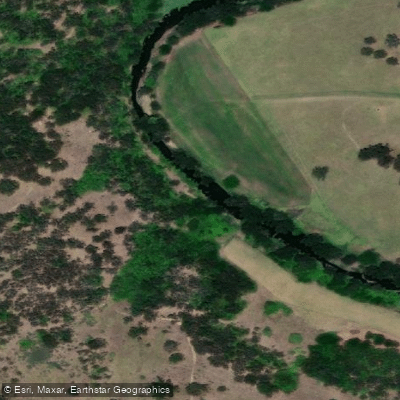
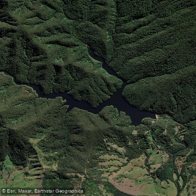
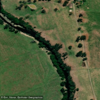
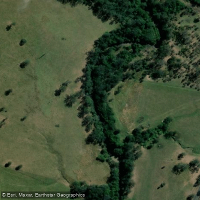
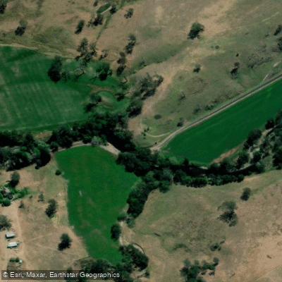
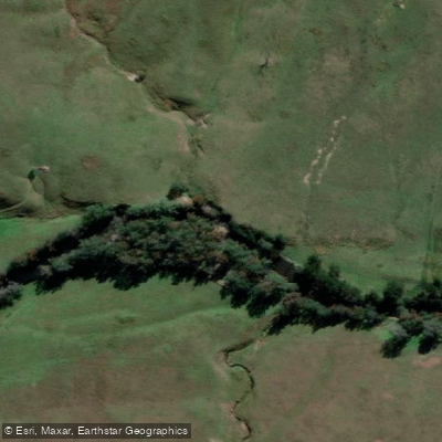
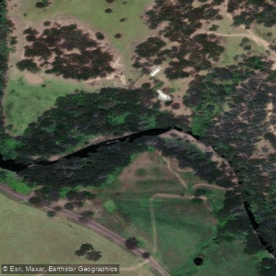
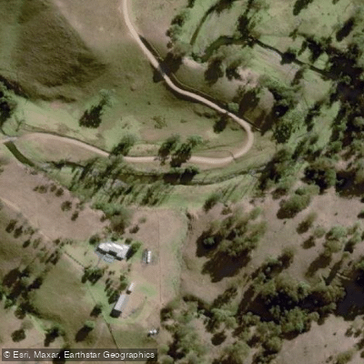
Top waters to fish near Barrington Tops National Park
Species & education
Learn what type of fish are in Barrington Tops National Park and what's needed to catch them.

Find which waters have the species you want to catch

Australian Bass
Macquaria novemaculeata

Australian Smelt
Retropinna semoni

Australian Longfin Eel
Anguilla reinhardtii

Flathead Grey Mullet
Mugil cephalus

Rainbow Trout
Oncorhynchus mykiss

Common Carp
Cyprinus carpio

Freshwater Catfish
Tandanus tandanus

Mountain Galaxias
Galaxias olidus
Water and weather conditions (10 day forecast)
See the best times to fish Barrington Tops National Park and check the forecast before you go.
No forecast data available.
Fish smarter with real-time insights
Whether you're en route and conditions shift or you're looking for the best spot based on current flows, we enable you to make informed decisions on the fly.




Fishing near Barrington Tops National Park
Loading...
Gateway towns
Where to base yourself for fishing in Barrington Tops National Park.
- GloucesterNew South Wales
Closest town to the park and the recommended base; stop at the Visitor Information Centre for maps and local advice.
- DungogNew South Wales
Southern gateway town for the park; pick up self-guided walking maps at the Dungog Visitor Information Centre.
Explore Barrington Tops National Park
Top fishing waters
Popular Cities
Loading popular cities...

Smarter Fishing Starts in the App.
onWater Fish gives you everything you need to plan smarter, fish better, and own every trip from first cast to last.