Lago Fagnano
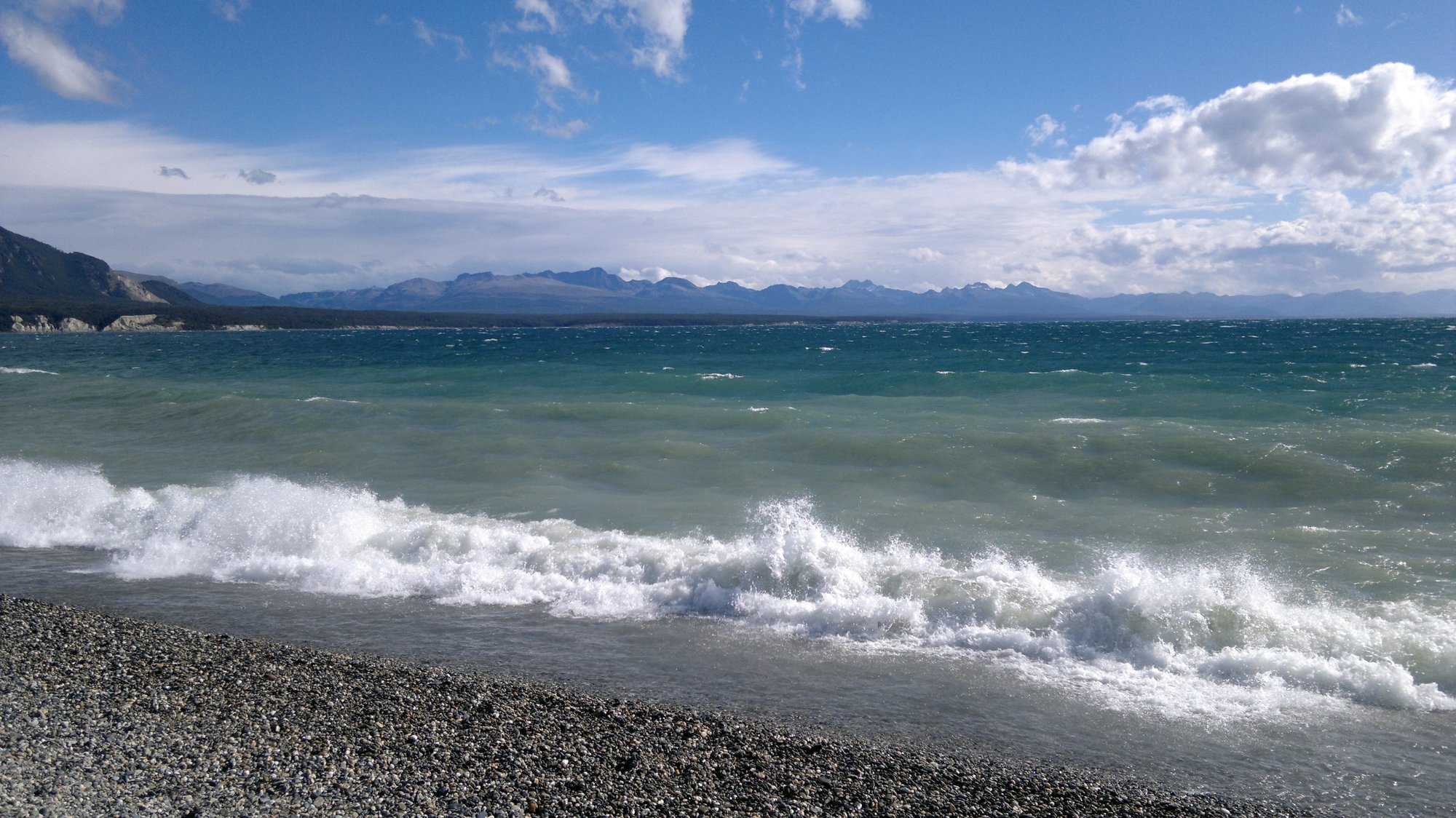
Lago Fagnano
- Boat Ramps
- 0
- Access Points
- 0
- Species
- 0
Lago Fagnano is one of the most spectacular and remote fishing destinations in the world, a vast glacial lake stretching nearly 100 kilometers east to west across the heart of Tierra del Fuego, straddling the border between Argentina and Chile. Covering approximately 645 square kilometers, this enormous body of water plunges to a maximum depth of 449 meters, making it one of the deepest lakes in South America. Formed by glacial action and sitting atop the Fagnano-Magallanes fault — the boundary between the South American and Scotia tectonic plates — the lake is geologically active, slowly shifting eastward at roughly five millimeters per year. The Argentine portion accounts for about 606 square kilometers of the lake's surface, while the remaining 39 square kilometers lie within Chile's Magallanes y la Antártica Chilena Region. The southern bank is notably steep, while the northern shore expands into a wide, flat piedmont from which the surrounding plateaus are clearly visible. The lake's stony beaches, dramatic Andean backdrop, and surrounding lenga beech and Antarctic beech forests create an unforgettable setting for anglers. The town of Tolhuin sits near the eastern head of the lake and serves as the primary base for visiting fishermen. From the western end, the Azopardo River drains the lake toward the Almirantazgo Fjord in Chile.
Species & education
Learn what type of fish are at Lago Fagnano and what's needed to catch them.
No species information available.
Fishing spots, boat ramps & amenities
Learn how to get on Lago Fagnano. Uncover great fishing access points, boat ramps, and all the facilities you need for an unforgettable day on the water. Some locations shown may border or include private property. Always check property boundaries and applicable regulations before visiting. onWater's Public & Private Land layer can help you plan your access with confidence.
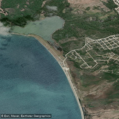
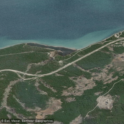
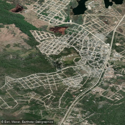
Know where you can legally fish on Lago Fagnano
See public and private land boundaries along the water, turn on private parcels with owner details to know where permission is required, and find land-trust parcels that offer permitted fishing access.
Tierra Del Fuego licenses and regulations

Tierra del Fuego Boating Regulations
Boating in Argentina is regulated nationally by the Prefectura Naval Argentina, not by the province - covering recreational-vessel registration, the boat-operator licence (habilitacion nautica), and navigation safety.

Tierra del Fuego Fishing License
Official recreational-fishing hub of Tierra del Fuego's Ministerio de Produccion y Ambiente, with permit info, fees, authorized sectors, and the SAPTDF/SIPED digital permit system. TdF issues its OWN provincial permit and is NOT covered by the unified Patagonian permit.

Tierra del Fuego Fishing Regulations
The official recreational fishing reglamento for Tierra del Fuego: season dates, permitted methods (spinning and fly only), per-water rules, and mandatory catch-and-release later in the season.
Take Lago Fagnano with you
The onWater Fish app keeps this water's access points, species and conditions in your pocket, with the tools you use once you're there.
Use the map without signal
Download the map around Lago Fagnano to use it offline when coverage drops.
Log your catches here
Keep a private fishing journal for Lago Fagnano to find where and when fish are biting for you.
HD depth charts from Garmin
Find drop offs, ledges, channels, points and shallow flats with Garmin depth charts in the app.
Get the onWater Fish app
Free on iOS and Android
Water and weather conditions (10 day forecast)
See the best times to fish Lago Fagnano and check the forecast before you go.
Lago Fagnano – Puerto Tolhuin
Fishing near Lago Fagnano
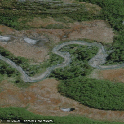
Río Olivia
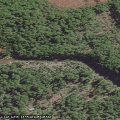
Río Lasifashaj
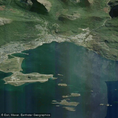
Bahía de Ushuaia
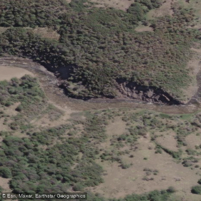
Río Claro
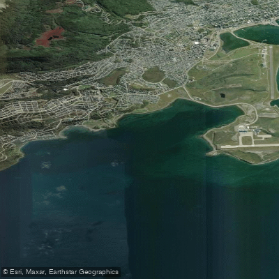
Bahía Golondrina
Río Encajonado
Arroyo Fernández
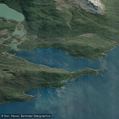
Bahía Lapataia
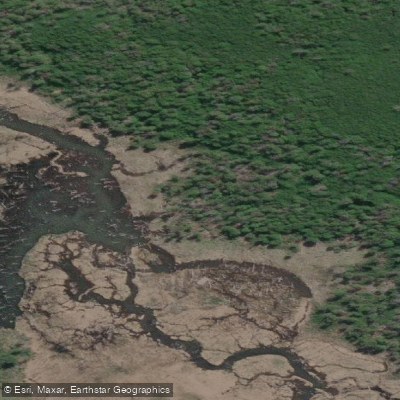
Río Milna
Explore Tierra Del Fuego waters
Top fishing waters
No waters available right now.
Popular Cities
Loading popular cities...
Explore near Lago Fagnano
Fishing spots
Nearby waters
More in Tierra Del Fuego

Smarter Fishing Starts in the App.
onWater Fish gives you everything you need to plan smarter, fish better, and own every trip from first cast to last.