Bahía Lapataia
- Saltwater
- Bay
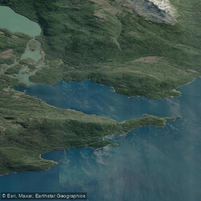
Bahía Lapataia
- Saltwater
- Bay
- Sq. miles
- 2.1
- Boat Ramps
- 0
- Access Points
- 0
- Species
- 1
Bahía Lapataia is a glacially-carved fjord located at the terminus of National Route 3 within Tierra del Fuego National Park. This saltwater bay, whose name translates to "Forested Bay," is part of the Beagle Channel system and is characterized by stunning coastal scenery framed by Sub-Antarctic forests. The bay's geography was shaped by retreating glaciers, which carved deep channels later filled by seawater, creating a dramatic, protected inshore environment. It is a significant destination within the national park, known for its rich history, wildlife viewing opportunities, and access to the broader Beagle Channel.
Species & education
Learn what type of fish are at Bahía Lapataia and what's needed to catch them.

Find which waters have the species you want to catch

Patagonian Blenny
Eleginops maclovinus
Fishing spots, boat ramps & amenities
Learn how to get on Bahía Lapataia. Uncover great fishing access points, boat ramps, and all the facilities you need for an unforgettable day on the water. Some locations shown may border or include private property. Always check property boundaries and applicable regulations before visiting. onWater's Public & Private Land layer can help you plan your access with confidence.
Productive fishing can be found along the rocky shorelines of Bahía Lapataia itself. The confluence area where the Lapataia River empties into the bay can create productive seams and mixing zones. The waters around nearby geographical features like Ensenada Bay, Isla Redonda, and the Cormoranes archipelago are also noted as worthwhile areas to explore. Underwater structures near the Bridges Islands (Islas de los Pájaros and de los Lobos) attract sea birds, sea lions, and porpoises, indicating areas of biological activity that often hold fish.
Know where you can legally fish on Bahía Lapataia
See public and private land boundaries along the water, turn on private parcels with owner details to know where permission is required, and find land-trust parcels that offer permitted fishing access.
Tierra Del Fuego licenses and regulations

Tierra del Fuego Boating Regulations
Boating in Argentina is regulated nationally by the Prefectura Naval Argentina, not by the province - covering recreational-vessel registration, the boat-operator licence (habilitacion nautica), and navigation safety.

Tierra del Fuego Fishing License
Official recreational-fishing hub of Tierra del Fuego's Ministerio de Produccion y Ambiente, with permit info, fees, authorized sectors, and the SAPTDF/SIPED digital permit system. TdF issues its OWN provincial permit and is NOT covered by the unified Patagonian permit.

Tierra del Fuego Fishing Regulations
The official recreational fishing reglamento for Tierra del Fuego: season dates, permitted methods (spinning and fly only), per-water rules, and mandatory catch-and-release later in the season.
Take Bahía Lapataia with you
The onWater Fish app keeps this water's access points, species and conditions in your pocket, with the tools you use once you're there.
Use the map without signal
Download the map around Bahía Lapataia to use it offline when coverage drops.
Log your catches here
Keep a private fishing journal for Bahía Lapataia to find where and when fish are biting for you.
Get the onWater Fish app
Free on iOS and Android
Tides, wind & water conditions (10 day forecast)
On open water, wind and tide matter as much as the weather. See the best times to fish Bahía Lapataia and check the marine forecast before you launch.
Loading tide predictions…
Fishing near Bahía Lapataia
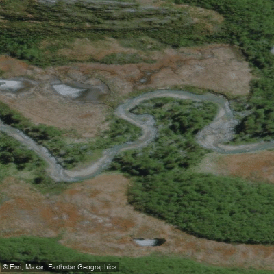
Río Olivia
Río Lasifashaj
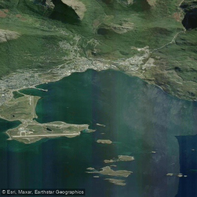
Bahía de Ushuaia
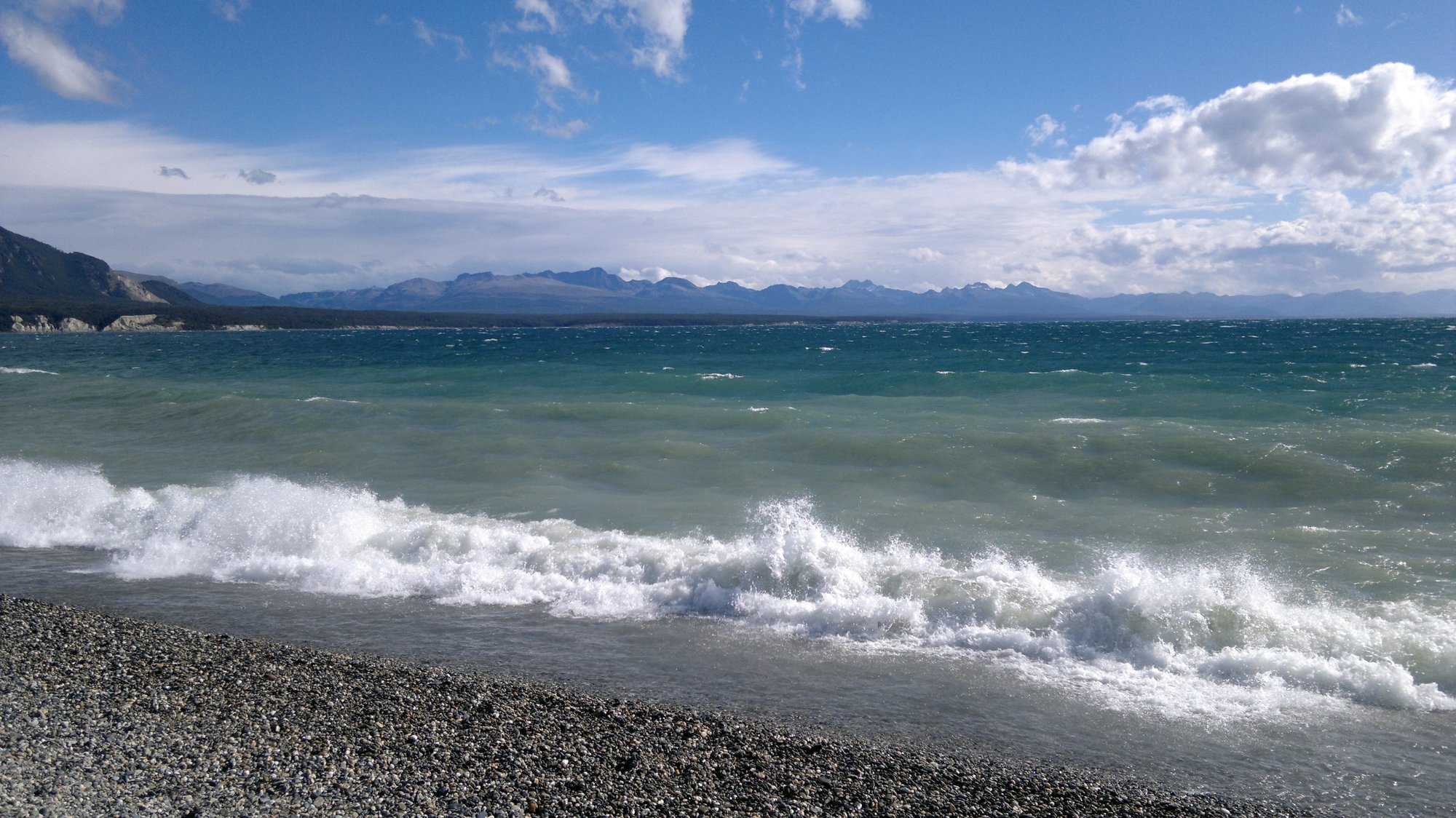
Lago Fagnano
Río Claro
Bahía Golondrina
Río Encajonado
Arroyo Fernández
Río Milna
Explore Tierra Del Fuego waters
Top fishing waters
No waters available right now.
Popular Cities
Loading popular cities...
Explore near Bahía Lapataia
Fish species
Nearby waters
More in Tierra Del Fuego

Smarter Fishing Starts in the App.
onWater Fish gives you everything you need to plan smarter, fish better, and own every trip from first cast to last.