Nisqually Reach
- Saltwater
- Bay
Nisqually Reach
- Saltwater
- Bay
- Sq. miles
- 20
- Boat Ramps
- 1
- Access Points
- 1
- Species
- 1
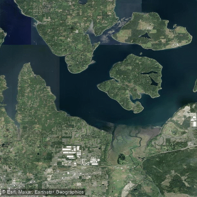
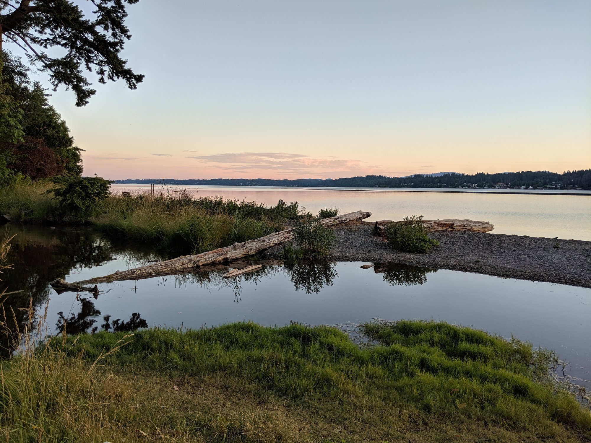
Nisqually Reach is a significant estuary and protected aquatic reserve in southern Puget Sound, spanning 14,826 acres of state-owned aquatic land from the Nisqually River Delta across to Anderson and Ketron Islands. This dynamic saltwater environment is characterized by extreme tidal exchanges, high bluffs with sand and gravel beaches, and a complex underwater landscape that includes shifting sand dunes formed by river sediment. The area encompasses vital habitats such as extensive eelgrass beds, shallow pocket estuaries, and sandy spits, which serve as crucial nursery and foraging grounds for a wide array of marine life. Managed as part of a network of protected ecosystems that includes the Billy Frank Jr. Nisqually National Wildlife Refuge, the reach offers diverse fishing opportunities in a setting of high ecological importance, with access primarily by boat from several managed launch sites.
Species & education
Learn what type of fish are at Nisqually Reach and what's needed to catch them.

Find which waters have the species you want to catch
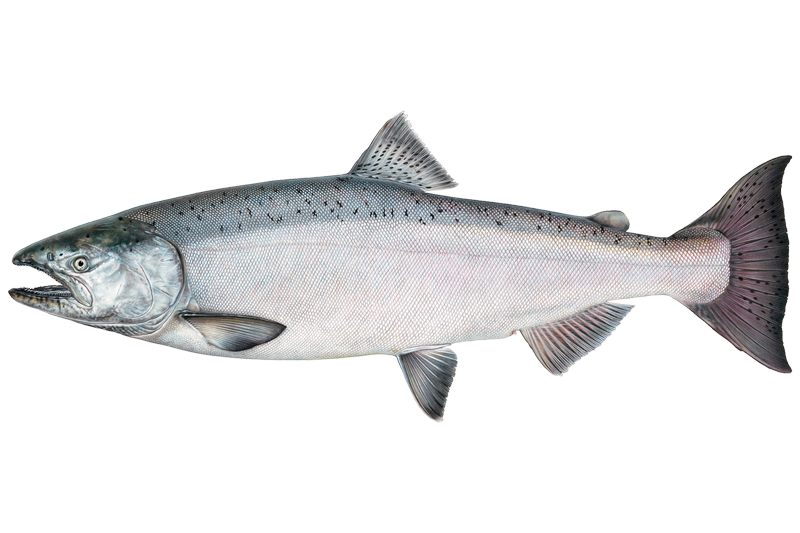
Chinook Salmon
Oncorhynchus tshawytscha
Fishing spots, boat ramps & amenities
Learn how to get on Nisqually Reach. Uncover great fishing access points, boat ramps, and all the facilities you need for an unforgettable day on the water. Some locations shown may border or include private property. Always check property boundaries and applicable regulations before visiting. onWater's Public & Private Land layer can help you plan your access with confidence.
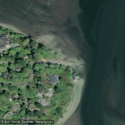
Know where you can legally fish on Nisqually Reach
See public and private land boundaries along the water, turn on private parcels with owner details to know where permission is required, and find land-trust parcels that offer permitted fishing access.
Washington licenses and regulations

Washington Boating Regulations
When using any type of watercraft to access a body of water, it is important to follow all federal, state, and local rules and regulations. These rules and regulations include boat permitting and licensing, invasive species inspections and stamps, life jacket and PFD rules, motor size and horsepower restrictions, noise limitations, restrictions on personal watercraft, and many more. Visit the web link below for the most current rules and regulations for this body of water.

Washington Coastal & Inland Waters
Washington separates saltwater from freshwater for licensing purposes, and a saltwater license is valid in marine areas while a freshwater license covers inland waters only. A combination license covers both, and some tidal and boundary waters have specific rules about which license applies. Marine area rules and definitions, including area-by-area breakdowns, are maintained by the Washington Department of Fish and Wildlife.

Washington Federal Waters & Offshore Rules
Beyond state waters, federal rules apply and are managed by NOAA Fisheries in partnership with the Pacific Fishery Management Council, which oversees species such as groundfish and highly migratory fish in federal waters extending to 200 nautical miles offshore. Permit and reporting requirements vary by species and fishing type in those federal waters. NOAA Fisheries maintains current rules, permit information, and regional resources for anglers fishing beyond state jurisdiction.

Washington Saltwater Fishing License
Anyone age 16 or older needs a fishing license to fish or harvest shellfish in Washington saltwater, issued by the Washington Department of Fish and Wildlife. A dedicated saltwater license covers ocean and marine fishing, while a combination license adds freshwater and shellfish privileges. Anglers targeting salmon, steelhead, sturgeon, halibut, or Puget Sound Dungeness crab must also carry a catch record card regardless of age.

Washington Saltwater Size & Bag Limits
Size and bag limits apply per species and are updated regularly by the Washington Department of Fish and Wildlife. Key saltwater species including salmon, halibut, bottomfish, and Dungeness crab each carry their own rules, and some fisheries close mid-season when quotas are reached. The current regulations pamphlet and any emergency rule changes are kept on the WDFW fishing regulations page.

Washington Shellfish Closures & Advisories
Harvesting oysters, clams, mussels, and crab recreationally in Washington requires a shellfish and seaweed license or a combination license from the Washington Department of Fish and Wildlife, and Puget Sound Dungeness crab also requires an additional endorsement. Beaches close regularly due to biotoxins, paralytic shellfish poisoning, and pollution, and both WDFW season status and Washington State Department of Health approval must be open before harvest is legal or safe. Current beach-by-beach closures and health advisories are posted on the WDFW shellfish beaches page.
Take Nisqually Reach with you
The onWater Fish app keeps this water's access points, species and conditions in your pocket, with the tools you use once you're there.
Use the map without signal
Download the map around Nisqually Reach to use it offline when coverage drops.
Log your catches here
Keep a private fishing journal for Nisqually Reach to find where and when fish are biting for you.
Get the onWater Fish app
Free on iOS and Android
Tides, wind & water conditions (10 day forecast)
On open water, wind and tide matter as much as the weather. See the best times to fish Nisqually Reach and check the marine forecast before you launch.
Loading tide predictions…
Fishing near Nisqually Reach
Explore Washington waters
Top fishing waters
Popular Cities
Loading popular cities...
Explore near Nisqually Reach
Fish species
Fishing spots
Nearby waters
More in Washington

Smarter Fishing Starts in the App.
onWater Fish gives you everything you need to plan smarter, fish better, and own every trip from first cast to last.