Deadhorse Creek access
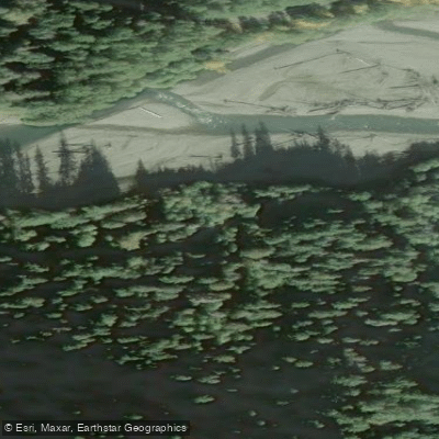
Deadhorse Creek access
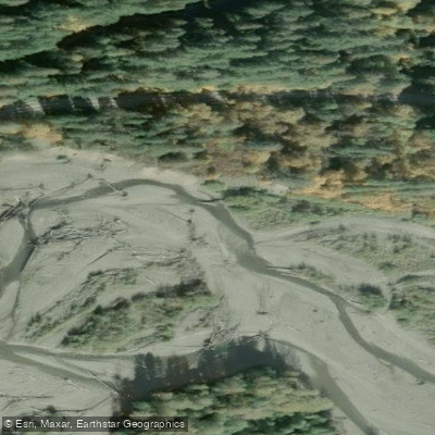
Deadhorse Creek access provides parking and shuttle points for a technical canyoneering descent located in Mount Baker-Snoqualmie National Forest.
The main parking area is situated just before the bridge over Deadhorse Creek on Forest Service Road 37 (currently subject to road closure conditions as of November 2021), with additional approach parking available 2.
4 miles further up the road at the fourth switchback.
This is a highly committing, advanced-only canyon featuring 9-12 rappels with pitches up to 150 feet, including the notable "Crack of Doom" section, best visited August-September when water flow is manageable.
Nearby points of interest
Find excellent fishing spots, easy access to boat ramps, and all the amenities you need for a memorable day. Your adventure starts here.
Water and weather conditions (10 day forecast)
Check the forecast at Deadhorse Creek access before you go fishing.
No forecast data available.
Fishing near Deadhorse Creek access
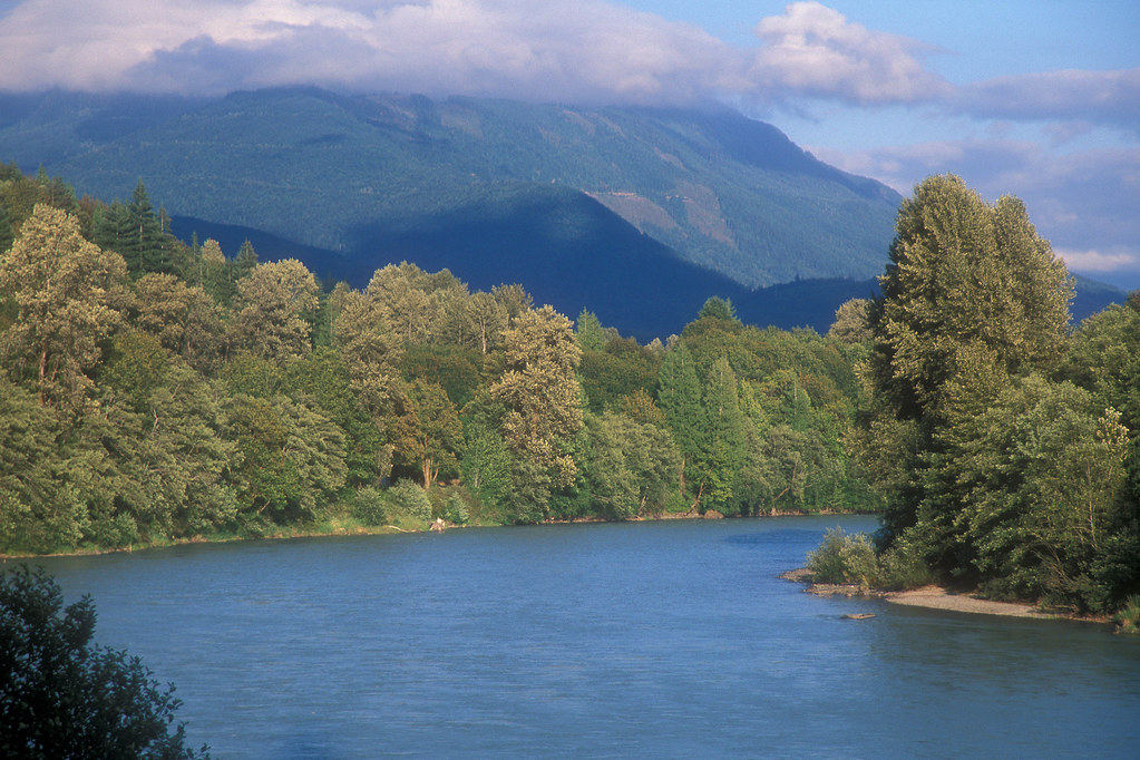
Skagit River
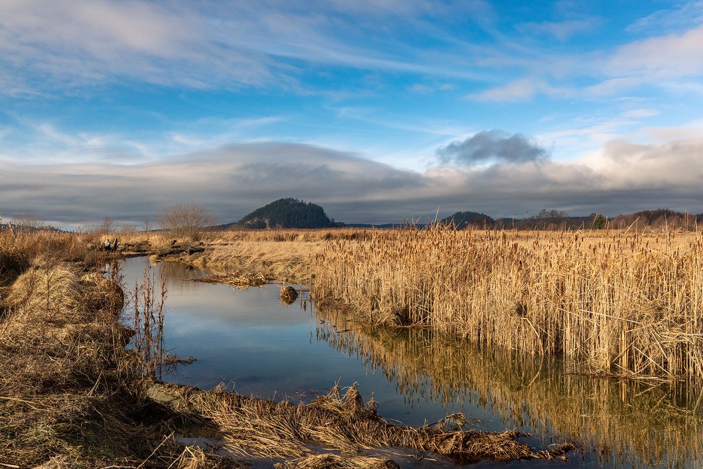
Skagit Bay
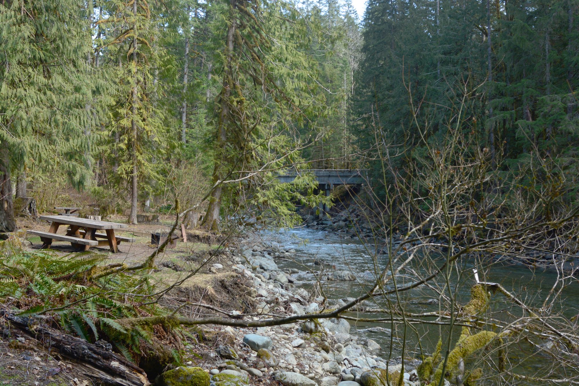
North Fork Nooksack River
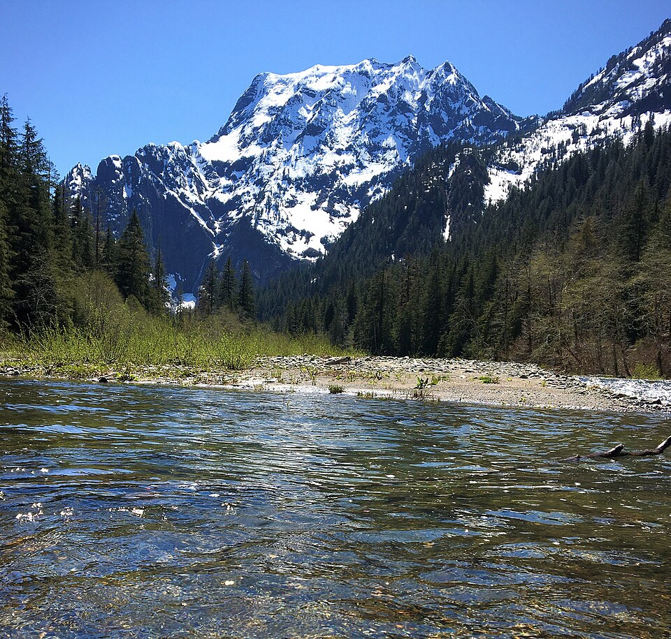
Stillaguamish River
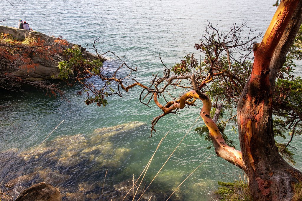
Samish Bay
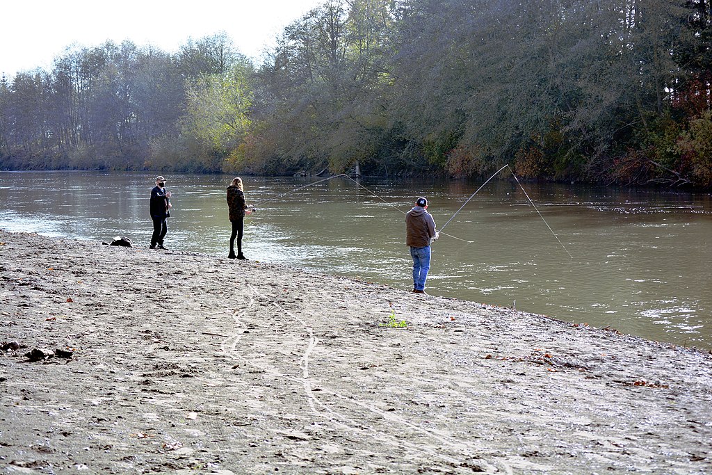
Nooksack River
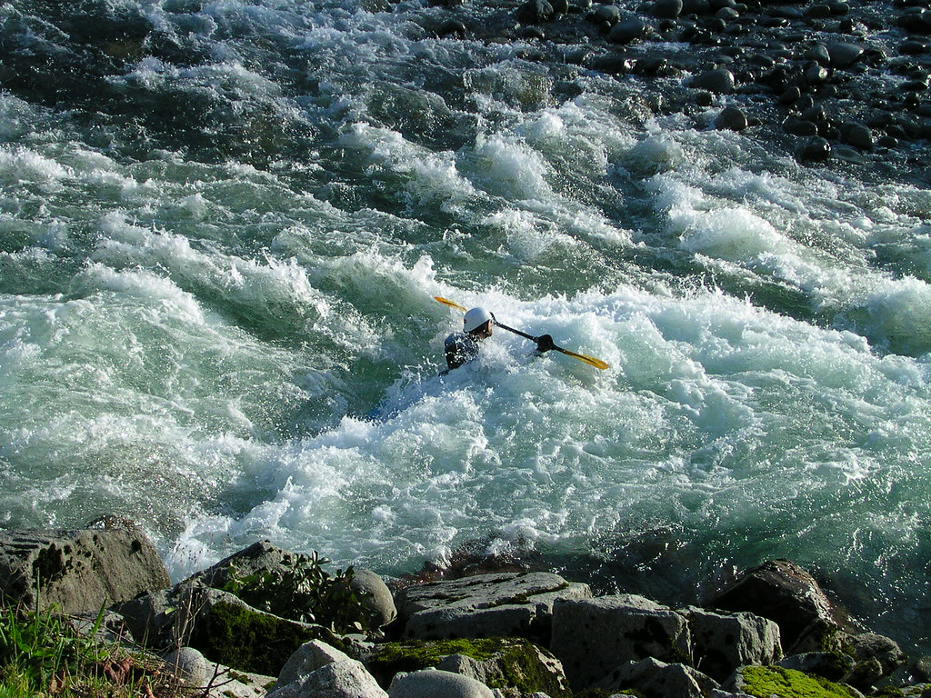
Skykomish River
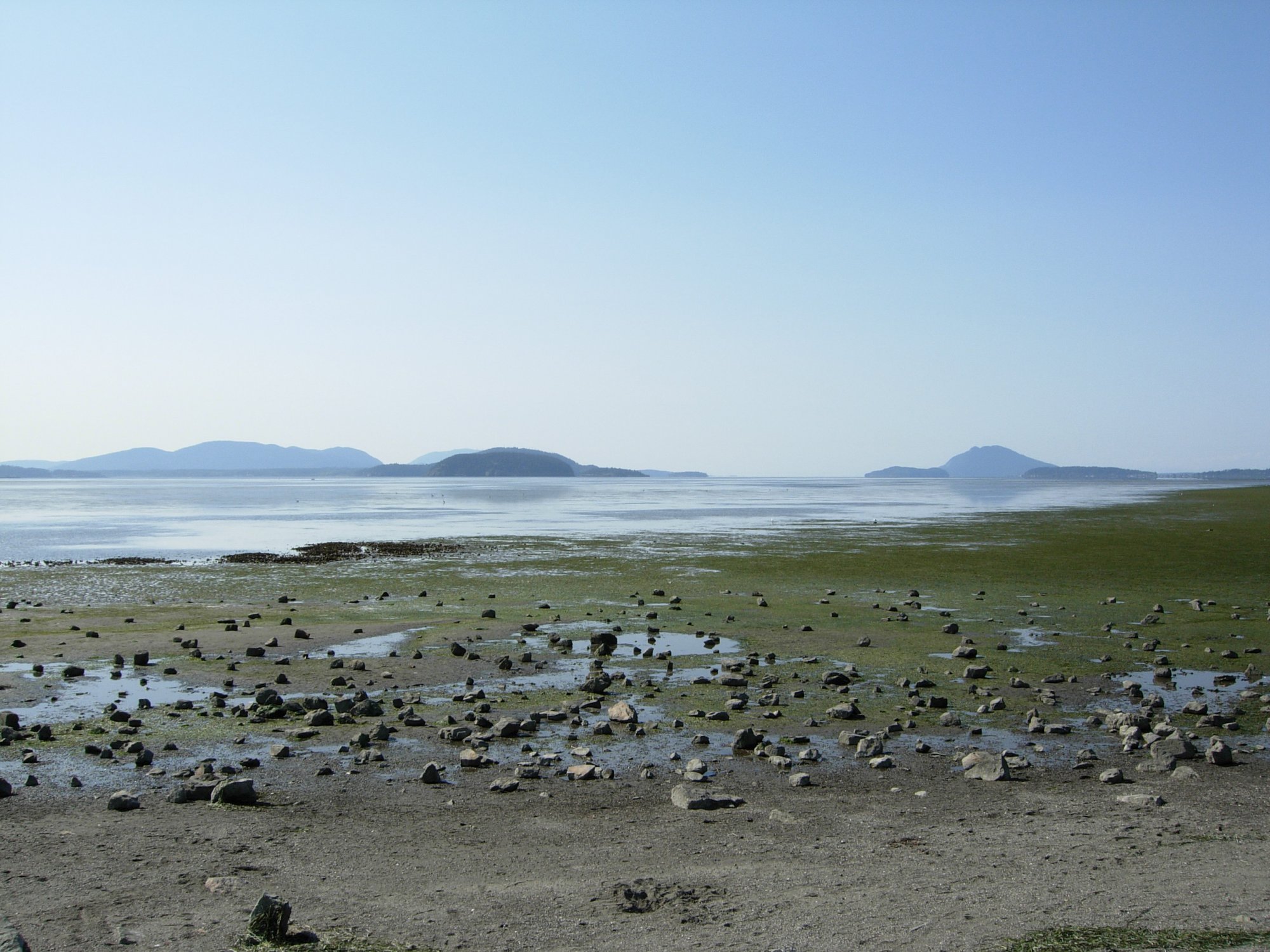
Padilla Bay
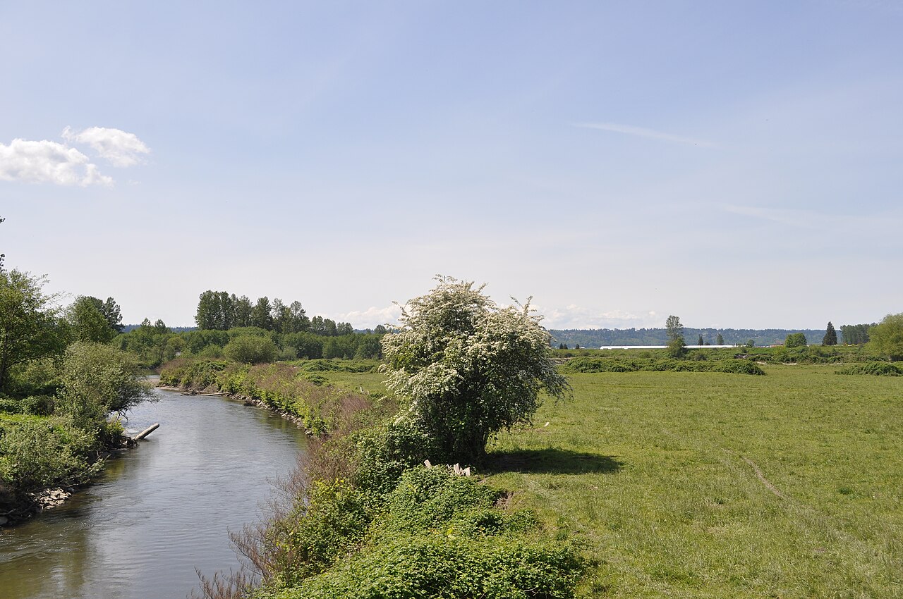
Pilchuck River
Washington licenses and regulations
Explore Washington waters
Top fishing waters
No waters available right now.
Popular Cities
Loading popular cities...
Explore near Deadhorse Creek access
Nearby spots
Nearby waters
More in Washington

Smarter Fishing Starts in the App.
onWater Fish gives you everything you need to plan smarter, fish better, and own every trip from first cast to last.