North Cita Creek
North Cita Creek
- Boat Ramps
- 0
- Access Points
- 0
- Species
- 0
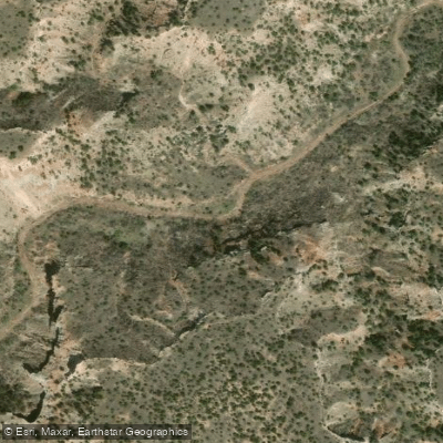
North Cita Creek is a tributary of the Prairie Dog Fork of the Red River, located in the Texas Panhandle within Palo Duro Canyon State Park. This creek system represents a unique fishing opportunity in an otherwise arid region, flowing through one of Texas's most dramatic landscapes. The creek is characterized by intermittent flows that are heavily dependent on seasonal rainfall and runoff from the surrounding canyon walls. While North Cita Creek itself may not be widely recognized as a premier fishing destination, it forms part of the larger Red River drainage system and provides habitat for several hardy fish species adapted to the variable water conditions typical of the High Plains region.
Species & education
Learn what type of fish are at North Cita Creek and what's needed to catch them.
No species information available.
Fishing spots, boat ramps & amenities
Learn how to get on North Cita Creek. Uncover great fishing access points, boat ramps, and all the facilities you need for an unforgettable day on the water. Some locations shown may border or include private property. Always check property boundaries and applicable regulations before visiting. onWater's Public & Private Land layer can help you plan your access with confidence.
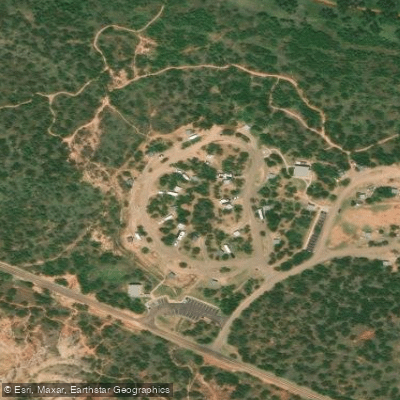
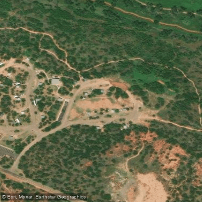
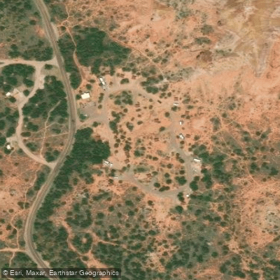
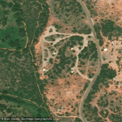
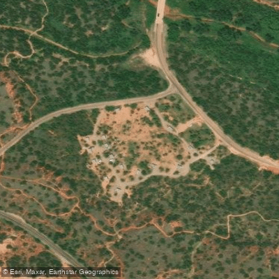
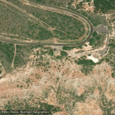
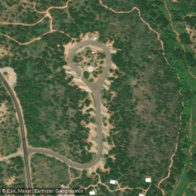
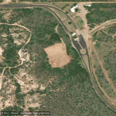
Know where you can legally fish on North Cita Creek
See public and private land boundaries along the water, turn on private parcels with owner details to know where permission is required, and find land-trust parcels that offer permitted fishing access.
Texas licenses and regulations

Texas Boating Regulations
When using any type of watercraft to access a body of water, it is important to follow all federal, state, and local rules and regulations. These rules and regulations include boat permitting and licensing, invasive species inspections and stamps, life jacket and PFD rules, motor size and horsepower restrictions, noise limitations, restrictions on personal watercraft, and many more. Visit the web link below for the most current rules and regulations for this body of water.

Texas Fishing License
All residents and visitors over the age of 17 require a Texas fishing license to reel in fish, mussels, clams, and crayfish across the state. In addition, you’ll need specific tags or endorsements based on the size of the catch and its location.

Texas Fishing Regulations
This river has a variety of species and regulations, including potential floating and/or watercraft restrictions. Because this river is specially managed for species, seasons, angling methods, and watercraft, it is strongly encouraged you check all federal, state, and local regulations before fishing. Visit any of the links below, inquire locally, or contact a local fly shop to learn current regulations and restrictions.

Texas Stream Access Laws
Access must usually be obtained through the use of public property. The typical access may be from the right of way of a public road that crosses the stream, through a publicly owned boat launch area, or from some other public land (a park, for example) adjacent to the stream. There is no general right to cross private property to get to a navigable stream. There are a number of privately owned parks or campgrounds where members of the public may have access to a navigable stream by paying a small fee to the landowner. If the private landowner forbids access, an attempt to use the private land would be a trespass. Texas courts have recognized that a member of the public may engage in a variety of lawful activities along a navigable stream. Besides boating, persons may swim, float, walk, wade, picnic, camp, and (with a license) fish. Public use must be confined to the stream bed and, to a limited extent, the banks. State law prohibits parking on a highway bridge and generally forbids (with certain exceptions) parking in the main traveled part of a highway. Within a public road’s right of way, private fencing that restricts public passage to the stream is illegal.
Take North Cita Creek with you
The onWater Fish app keeps this water's access points, species and conditions in your pocket, with the tools you use once you're there.
Use the map without signal
Download the map around North Cita Creek to use it offline when coverage drops.
Log your catches here
Keep a private fishing journal for North Cita Creek to find where and when fish are biting for you.
Get the onWater Fish app
Free on iOS and Android
Water and weather conditions (10 day forecast)
See the best times to fish North Cita Creek and check the forecast before you go.
No forecast data available.
Fishing near North Cita Creek
Canadian River
Lake Meredith
Prairie Dog Town Fork Red River
Tierra Blanca Creek
Palo Duro Creek
McClellan Creek
Salt Fork Red River
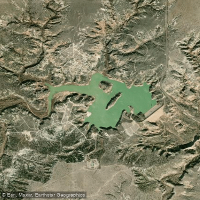
Tule Creek Lake
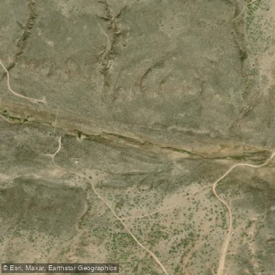
Big Blue Creek
Explore Texas waters
Top fishing waters
Popular Cities
Loading popular cities...
Explore near North Cita Creek
Fishing spots
Nearby waters
More in Texas

Smarter Fishing Starts in the App.
onWater Fish gives you everything you need to plan smarter, fish better, and own every trip from first cast to last.