Nudgee Beach
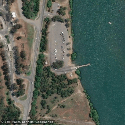
Nudgee Beach
Nudgee Beach sits roughly 18 kilometres north-west of Brisbane's CBD on the shores of Moreton Bay, where Nudgee Creek and surrounding tidal flats define the landscape.
The area is a popular recreational destination for kayakers, anglers, and walkers, with mangrove boardwalks, a bird-watching platform, and cycling connections via the Gateway North Bikeway.
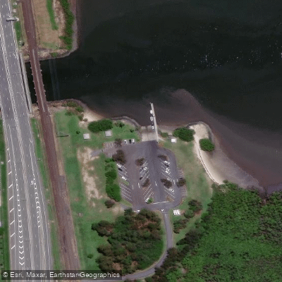
A single-lane concrete boat ramp at Nudgee Beach Reserve provides access to Moreton Bay, though it is best suited to small craft and is generally only usable within about two hours either side of high tide.
At low tide, extensive mudflats leave little usable water; high-tide depths reach only around half a metre. Canoes and kayaks can be launched across the flats at any time.
Anglers work the creek banks and mangrove outlets for bream, flathead, and mud crabs, with the tidal movement being the key factor in timing a session.
Nearby points of interest
Find excellent fishing spots, easy access to boat ramps, and all the amenities you need for a memorable day. Your adventure starts here.
Water and weather conditions (10 day forecast)
Check the forecast at Nudgee Beach before you go fishing.
No forecast data available.
Fishing near Nudgee Beach
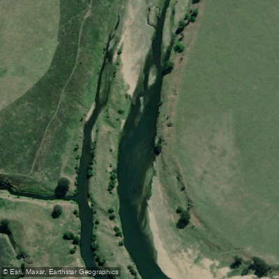
Brisbane River
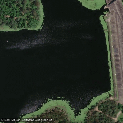
Enoggera Creek

Moreton Bay
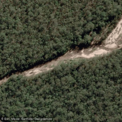
Oxley Creek
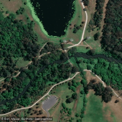
Bulimba Creek
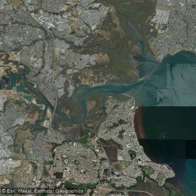
Pine River
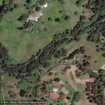
Moggill Creek
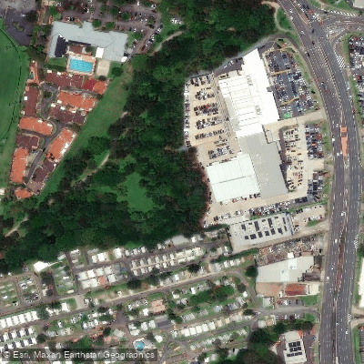
Cabbage Tree Creek
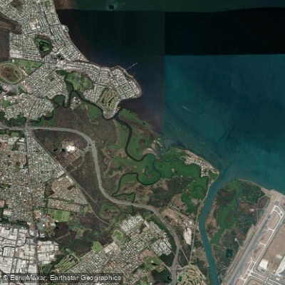
Nundah/Cabbage Tree Creek
South Pine River
Queensland licenses and regulations
Explore Queensland waters
Top fishing waters
No waters available right now.
Popular Cities
Loading popular cities...
Explore near Nudgee Beach
Nearby spots
- Bald Hills, Wyampa Road
- Curlew Street Canoe Launching Ramp
- Nudgee Beach, Nudgee Road
- Nudgee Boat Ramp
- Pinkenba, Kirra Street
- Port Of Brisbane, Port Drive
- Shorncliffe, Jetty Street
- Shorncliffe, Sinbad Street
- Whyte Island Boat Ramp
- Cabbage Tree Creek Marina
- Shorncliffe, Pier Avenue
- Shorncliffe, Sunday Street (Baxters Jetty)
- All 13 nearby spots
Nearby waters
More in Queensland

Smarter Fishing Starts in the App.
onWater Fish gives you everything you need to plan smarter, fish better, and own every trip from first cast to last.