Pine River
- Saltwater
- Estuary
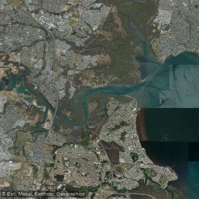
Pine River
- Saltwater
- Estuary
- Sq. miles
- 5.5
- Boat Ramps
- 0
- Access Points
- 0
- Species
- 8
The Pine River is a significant tidal estuary system in Southeast Queensland, Australia, formed by the confluence of the North Pine and South Pine rivers at Lawnton. It flows through the Moreton Bay Region, winding through communities like Petrie and Lawnton before draining into Moreton Bay. This river corridor offers a blend of urban accessibility and natural scenery, characterized by a mix of open-water sections influenced by the Lake Samsonvale reservoir and typical estuarine environments with mangroves and sand flats. It serves as a popular, yet often quieter, destination for inshore and nearshore saltwater angling, providing diverse opportunities from both boat and shore.
Species & education
Learn what type of fish are at Pine River and what's needed to catch them.



Fishing spots, boat ramps & amenities
Learn how to get on Pine River. Uncover great fishing access points, boat ramps, and all the facilities you need for an unforgettable day on the water. Some locations shown may border or include private property. Always check property boundaries and applicable regulations before visiting. onWater's Public & Private Land layer can help you plan your access with confidence.
Deep Water Bend Reserve is a renowned tidal estuary spot with access for shore anglers, boaters, and kayakers, known for producing Whiting and Bream. The river entrance itself is a hotspot where the mixing waters attract a wide range of species. Underwater structures such as sand flats, drop-offs, mangrove edges, and oyster bars are key areas to target throughout the system. The channels and bends where the current creates seams and eddies are also productive areas for predatory fish.
Know where you can legally fish on Pine River
See public and private land boundaries along the water, turn on private parcels with owner details to know where permission is required, and find land-trust parcels that offer permitted fishing access.
Queensland licenses and regulations

Queensland Boating Regulations
Official Queensland Government boating and marine hub (Maritime Safety Queensland), covering recreational marine and PWC licences, boat registration, safety equipment, speed limits, and the general safety obligation.

Queensland Fishing License
Queensland has no general recreational fishing licence - most saltwater and freshwater fishing needs no licence. The exception is line fishing in stocked dams/weirs: anyone 18 or over needs a Stocked Impoundment Permit, which this official Fisheries Queensland page explains.

Queensland Fishing Regulations
Official Queensland Government recreational fishing rules hub, covering size and possession limits (tidal and fresh waters), closed seasons and waters, regulated and no-take species, and permitted gear.

Queensland Stream Access Laws
Queensland has no single dedicated stream-access page; this is the closest official page for anglers, listing which state-owned dams and weirs allow public recreational access for fishing, camping and boating, with per-site restrictions.
Take Pine River with you
The onWater Fish app keeps this water's access points, species and conditions in your pocket, with the tools you use once you're there.
Use the map without signal
Download the map around Pine River to use it offline when coverage drops.
Log your catches here
Keep a private fishing journal for Pine River to find where and when fish are biting for you.
Get the onWater Fish app
Free on iOS and Android
Tides, wind & water conditions (10 day forecast)
On open water, wind and tide matter as much as the weather. See the best times to fish Pine River and check the marine forecast before you launch.
Loading tide predictions…
Fishing near Pine River
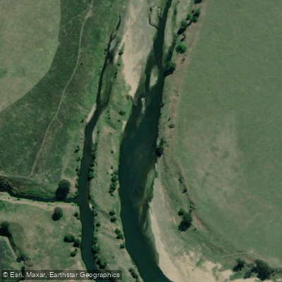
Brisbane River
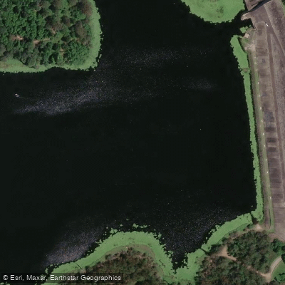
Enoggera Creek

Moreton Bay
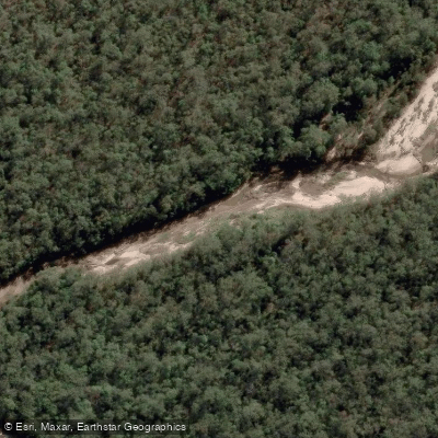
Oxley Creek
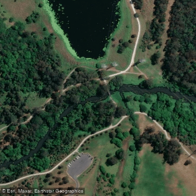
Bulimba Creek
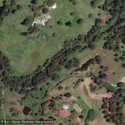
Moggill Creek
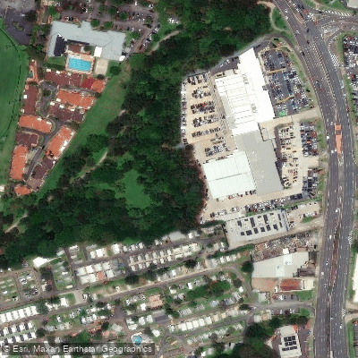
Cabbage Tree Creek
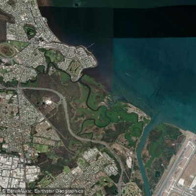
Nundah/Cabbage Tree Creek
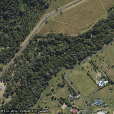
South Pine River
Explore Queensland waters
Top fishing waters
No waters available right now.
Popular Cities
Loading popular cities...
Explore near Pine River

Smarter Fishing Starts in the App.
onWater Fish gives you everything you need to plan smarter, fish better, and own every trip from first cast to last.