Indian Creek
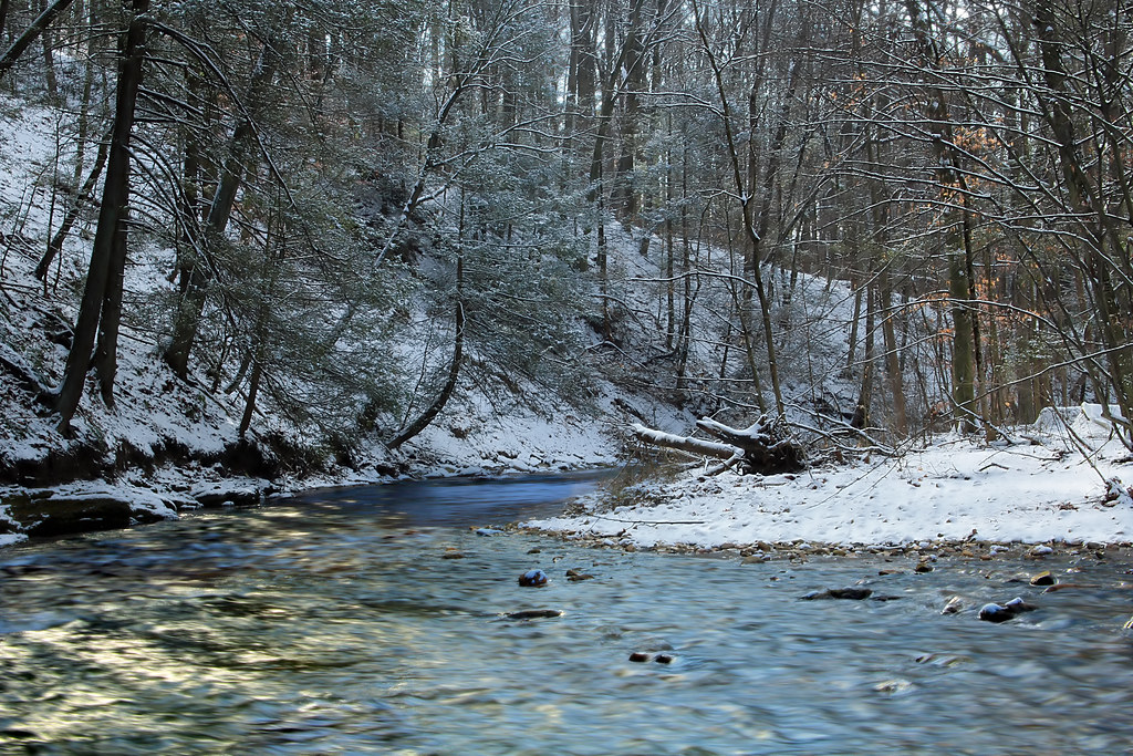
Indian Creek
- Boat Ramps
- 0
- Access Points
- 8
- Species
- 14
Indian Creek flows approximately 28 miles through the southwestern Appalachians of Pennsylvania, originating in Forbes State Forest in Donegal Township, Westmoreland County, just south of the Pennsylvania Turnpike, and flowing southwesterly through both Westmoreland and Fayette Counties to its confluence with the Youghiogheny River between Ohiopyle and Connellsville. This fourth-order tributary drains approximately 125 square miles between the eastern slope of Chestnut Ridge and the western slope of Laurel Hill, passing through historic lumber and coal mining communities including Kreger, Jones Mills, Champion, Melcroft, Indian Head, and Normalville while paralleling Routes 381 and 711. The upper watershed carries designations of High Quality Cold Water Fishery from the headwaters to Melcroft, transitioning to Cold Water Fishery designation downstream. The stream has been significantly impacted by abandoned mine drainage for decades, though extensive treatment systems built by the Mountain Watershed Association have continually improved water quality in the lower reaches, creating a fishery that now supports both coldwater and warmwater species.
Species & education
Learn what type of fish are at Indian Creek and what's needed to catch them.

Find which waters have the species you want to catch

Largemouth Bass
Micropterus salmoides

Smallmouth Bass
Micropterus dolomieu

Rainbow Trout
Oncorhynchus mykiss

Brown Trout
Salmo trutta

Brook Trout
Salvelinus fontinalis
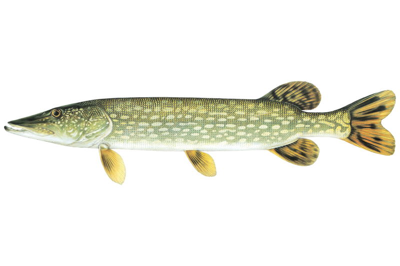
Northern Pike
Esox lucius

Bluegill Sunfish
Lepomis macrochirus

Common Carp
Cyprinus carpio

Green Sunfish
Lepomis cyanellus
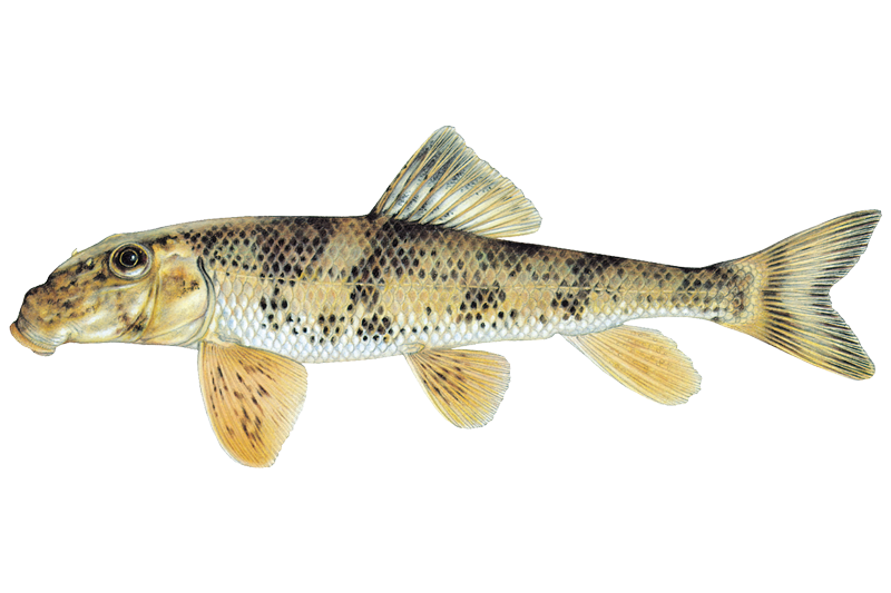
Northern Hogsucker
Hypentelium nigricans
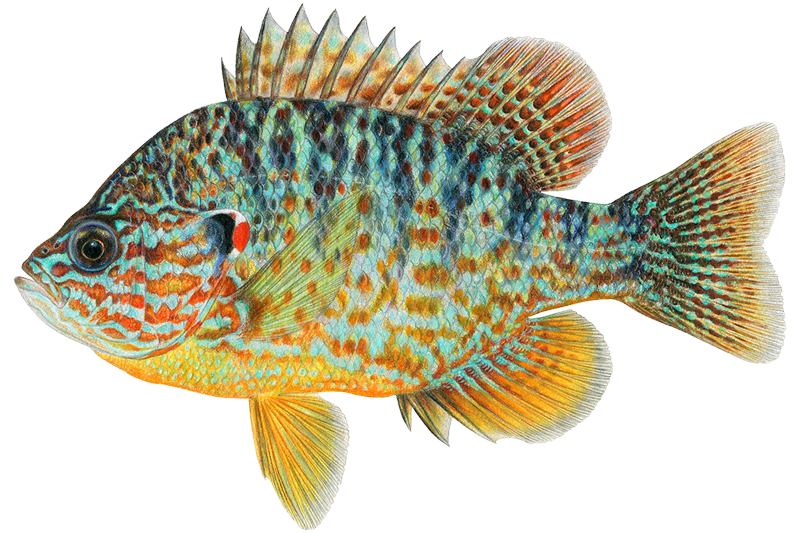
Pumpkinseed
Lepomis gibbosus

Rock Bass
Ambloplites rupestris

White Sucker
Catostomus commersonii

Yellow Bullhead
Ameiurus natalis
Fish stocking schedule
Latest 5 stockings
- Golden TroutCatchable sizeApr 8, 2026
- Rainbow TroutCatchable sizeApr 8, 2026
- Brown TroutCatchable sizeApr 8, 2026
- Rainbow TroutCatchable sizeApr 8, 2026
- Brown TroutCatchable sizeApr 8, 2026
Source
Pennsylvania Fish and Boat Commission
Updated Nov 13, 2026. Dates are as precise as the agency reports them.
Open stocking page, opens in new tabFishing spots, boat ramps & amenities
Learn how to get on Indian Creek. Uncover great fishing access points, boat ramps, and all the facilities you need for an unforgettable day on the water. Some locations shown may border or include private property. Always check property boundaries and applicable regulations before visiting. onWater's Public & Private Land layer can help you plan your access with confidence.
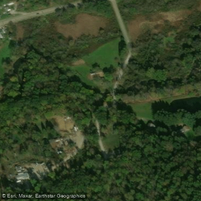
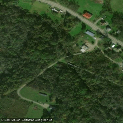
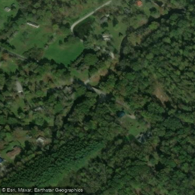
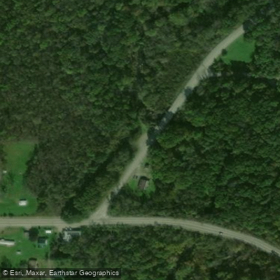
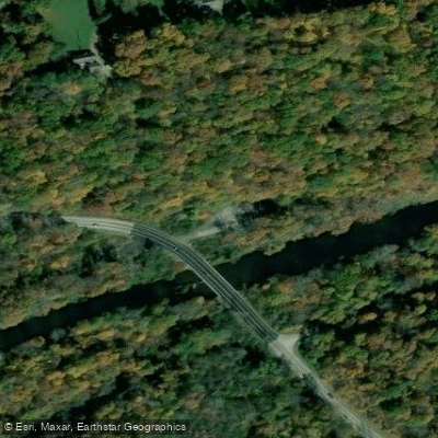
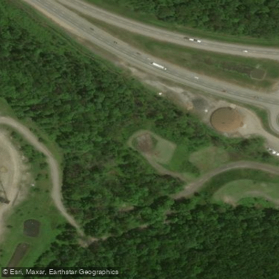
Know where you can legally fish on Indian Creek
See public and private land boundaries along the water, turn on private parcels with owner details to know where permission is required, and find land-trust parcels that offer permitted fishing access.
Pennsylvania licenses and regulations

Pennsylvania Boating Regulations
When using any type of watercraft to access a body of water, it is important to follow all federal, state, and local rules and regulations. These rules and regulations include boat permitting and licensing, invasive species inspections and stamps, life jacket and PFD rules, motor size and horsepower restrictions, noise limitations, restrictions on personal watercraft, and many more. Visit the web link below for the most current rules and regulations for this body of water.

Pennsylvania Fishing License
A current license, signed in ink, is required of persons age 16 and over to fish or angle for any species of fish and to take fish bait, baitfish, and species of amphibians and reptiles from Commonwealth waters by those legal methods described in the Pennsylvania Summary of Fishing Regulations and Laws (Summary Book).

Pennsylvania Fishing Regulations
This river has a variety of species and regulations, including potential floating and/or watercraft restrictions. Because this river is specially managed for species, seasons, angling methods, and watercraft, it is strongly encouraged you check all federal, state, and local regulations before fishing. Visit any of the links below, inquire locally, or contact a local fly shop to learn current regulations and restrictions.

Pennsylvania Stream Access Laws
The public has the right to fish in any navigable waterway, which is determined by the practical uses of the water. If a stream is determined navigable, the streambed is considered state owned, thus allowing wading, portage, and fishing. If the stream bed is non-navigable, floating is permitted, but fishing is exclusive to the landowner.
Take Indian Creek with you
The onWater Fish app keeps this water's access points, species and conditions in your pocket, with the tools you use once you're there.
Use the map without signal
Download the map around Indian Creek to use it offline when coverage drops.
Log your catches here
Keep a private fishing journal for Indian Creek to find where and when fish are biting for you.
Get the onWater Fish app
Free on iOS and Android
Water and weather conditions (10 day forecast)
See the best times to fish Indian Creek and check the forecast before you go.
No forecast data available.
Fishing near Indian Creek
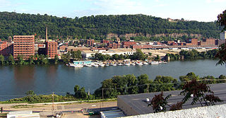
Allegheny River
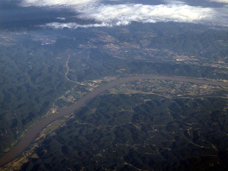
Ohio River
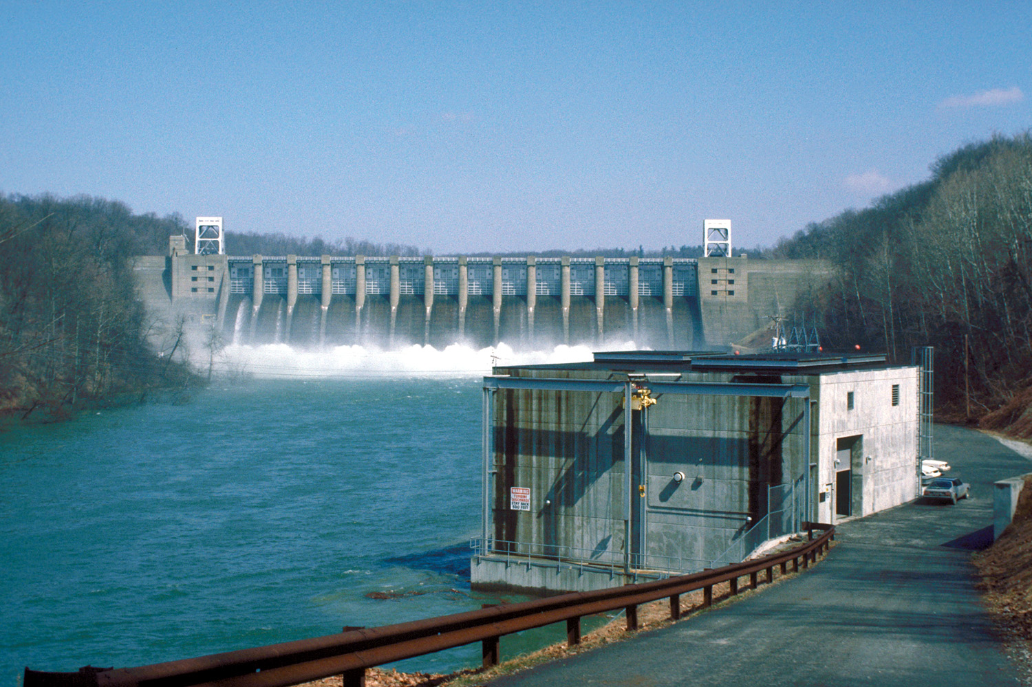
Conemaugh River
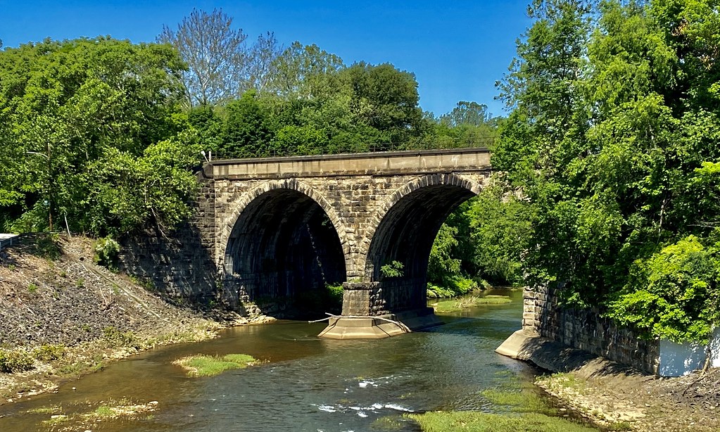
Loyalhanna Creek
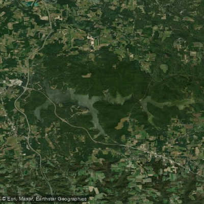
Lake Arthur
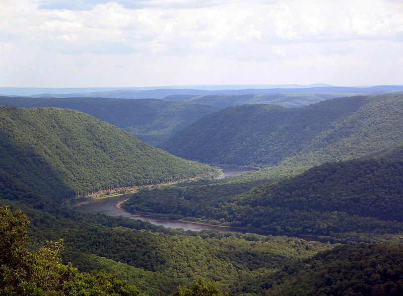
West Branch Susquehanna River
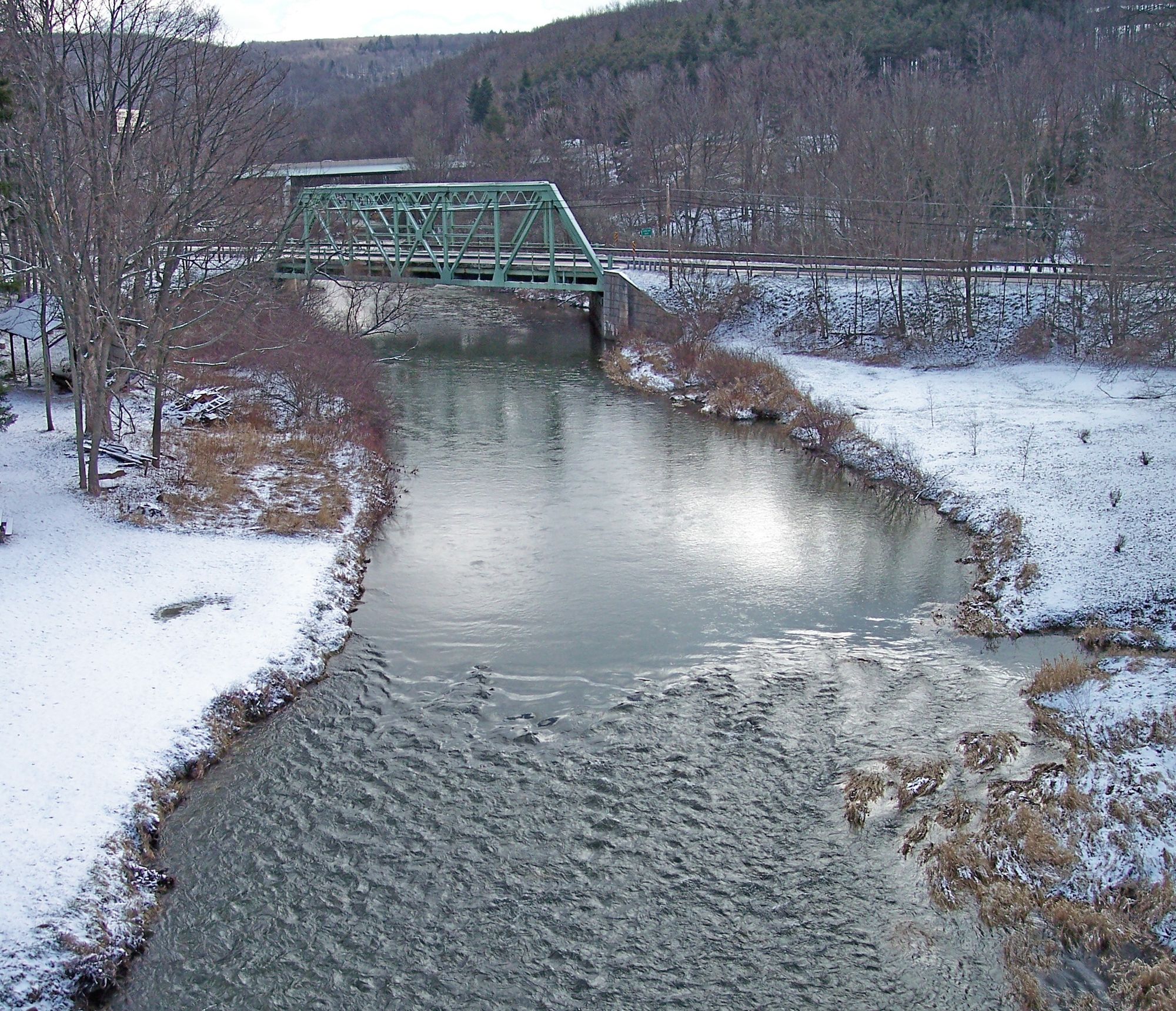
Casselman River
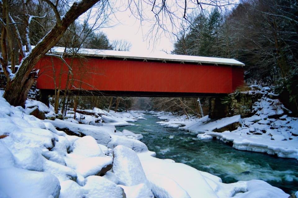
Slippery Rock Creek
Clarion River
Explore Pennsylvania waters
Top fishing waters
Popular Cities
Loading popular cities...
Explore near Indian Creek
Fish species
Fishing spots
Nearby waters
More in Pennsylvania

Smarter Fishing Starts in the App.
onWater Fish gives you everything you need to plan smarter, fish better, and own every trip from first cast to last.