Fishing in Santa Monica Mountains National Recreation Area
- National Recreation Area
- Open 24 hours
- Lakes
- 10
- Rivers
- 15
- Access
- 22
- Boat Ramps
- 0
- Shops
- 0
- Species
- 15
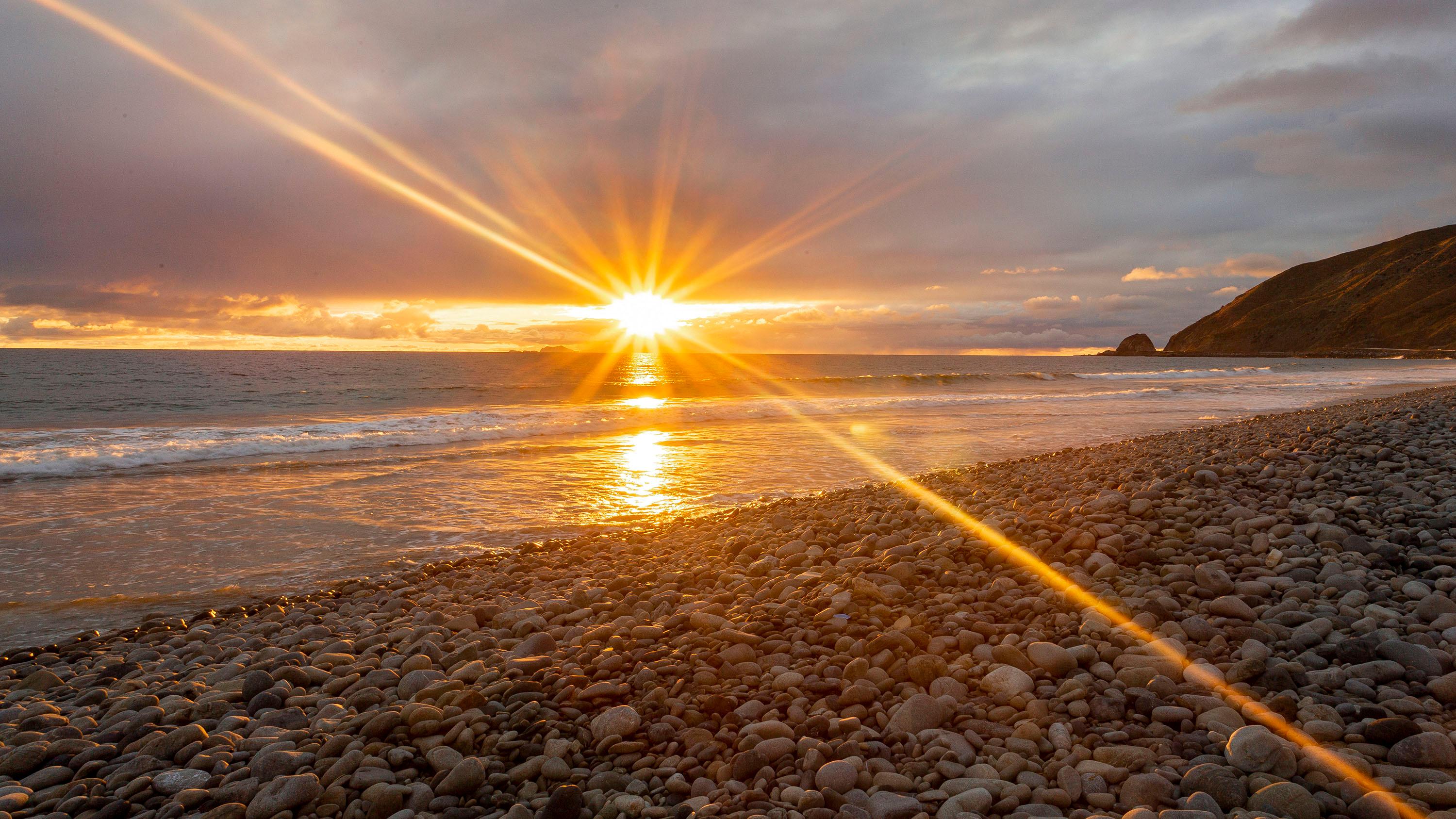
The Santa Monica Mountains run east to west along the northwestern edge of the Los Angeles basin, dropping directly into the Pacific Ocean along roughly 40 miles of coastline.
The recreation area is a patchwork of federal, state, and local land — more than 150,000 acres in total — and the water here reflects that variety: surf along exposed beaches, a creek-fed lagoon at Malibu, and small reservoirs tucked into the hills.
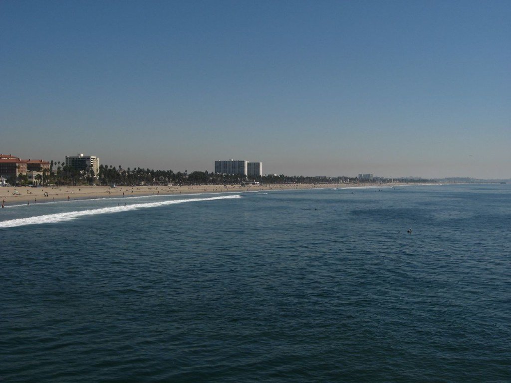
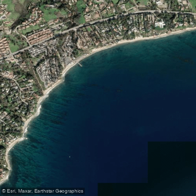
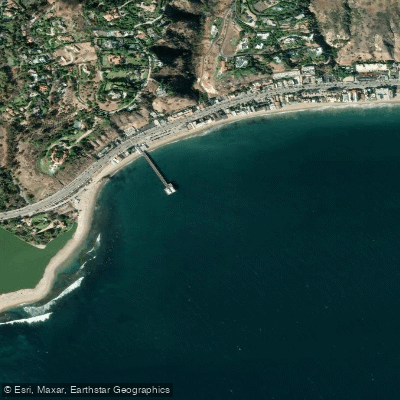
The surf fishing along the park's coastline is the most accessible fishing in the area. Point Mugu State Park, within the recreation area boundary, is specifically noted as a fishing destination along this stretch.
The mountains meet the ocean here, and the beach structure changes character as you move along the coast — worth scouting before you set up.
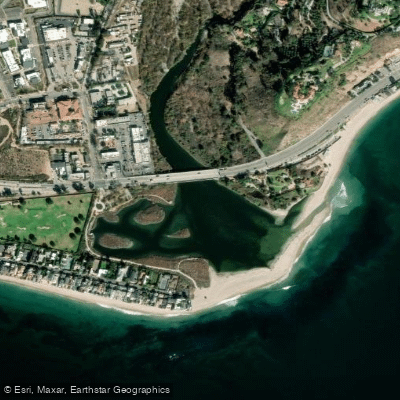
Malibu Creek forms a lagoon where it backs up behind Surfrider Beach, creating wetland habitat that draws fish into a sheltered environment distinct from the open surf.
The creek itself drains a significant watershed through the mountains before reaching the coast.
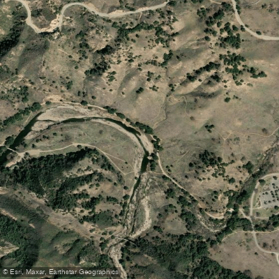
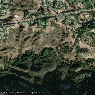
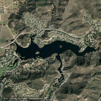
The inland reservoirs — including Upper Franklin Canyon Reservoir, built in 1914 — sit within the park boundary and are surrounded by the kind of riparian habitat that holds fish.
These are small waters, not destination fisheries on the scale of what you'd find in the Sierra, but they're accessible from Los Angeles in a way that counts for a lot.
Because the recreation area is a mosaic of jurisdictions, the rules that apply to a given piece of water depend on who manages that specific parcel — NPS, California State Parks, or another agency.
A California fishing license is the baseline, but check with the park and the relevant state unit before fishing any specific water, particularly the reservoirs. Regulations can differ across the boundary lines that aren't always obvious on the ground.
This is urban-edge fishing. The mountains are real, the fish are real, and the crowds are real too.
Go early, know which agency manages the water you're heading to, and treat the resource accordingly — mountain lions and steelhead habitat share the same drainages here.
Top waters to fish near Santa Monica Mountains National Recreation Area
Species & education
Learn what type of fish are in Santa Monica Mountains National Recreation Area and what's needed to catch them.

Find which waters have the species you want to catch

Barred Sand Bass
Paralabrax nebulifer

Barred Surfperch
Amphistichus argenteus

Black Rockfish
Sebastes melanops

Blue Rockfish
Sebastes mystinus

Bocaccio
Sebastes paucispinis

Bonefish
Albula vulpes

Cabezon
Scorpaenichthys marmoratus

California Corbina
Menticirrhus undulatus

California Halibut
Paralichthys californicus

California Sheephead
Bodianus pulcher

Common Thresher
Alopias vulpinus

Copper Rockfish
Sebastes caurinus

Jack Mackerel
Trachurus symmetricus

Kelp Bass
Paralabrax clathratus

Kelp Greenling
Hexagrammos decagrammus
Water and weather conditions (10 day forecast)
See the best times to fish Santa Monica Mountains National Recreation Area and check the forecast before you go.
No forecast data available.
Park alerts & road status
Closures and conditions Santa Monica Mountains National Recreation Area has posted, from the National Park Service.
Checking the park's alerts…
Hours & fees
When Santa Monica Mountains National Recreation Area is open and what it costs to get in, from the National Park Service.
Hours
Open 24 hoursThe park sites are open year-round. Our parking lots are open from 8 am to sunset.
Entrance fees
No entrance fee is listed for this park.
Fishing guides near Santa Monica Mountains National Recreation Area
Book a trip with a local fishing guide through Guidesly.


Chris Isaac
El Patrón Sportfishing
5.0 (2 reviews)
Book Your LA Fishing Charter Now!
Book on Guidesly, opens in new tab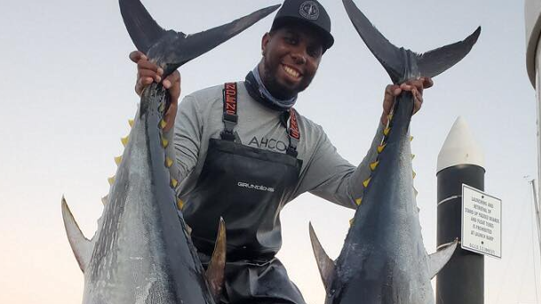
William Birdo Jr.
Wet Willy Charters
5.0 (1 review)
Hook a Fish at City of Long Beach Sport Fishing
Book on Guidesly, opens in new tab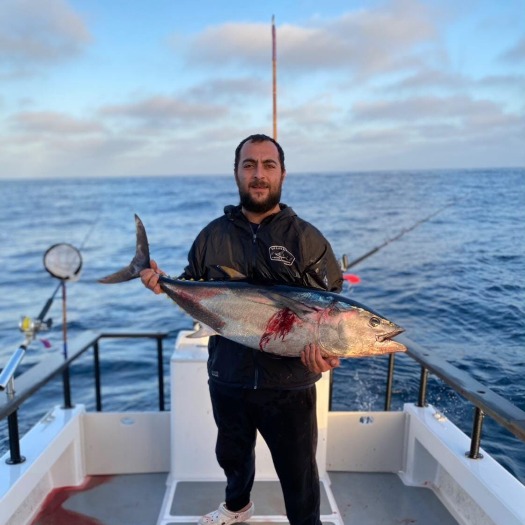
Shant Melkonyan
Aria Sportfishing
5.0 (1 review)
Best Offshore Fishing in Los Angeles, CA
Book on Guidesly, opens in new tab
Kevin Deleskiewicz
Nemo Charters
5.0 (1 review)
Find Nemo for the best Sportfishing in Long Beach!
Book on Guidesly, opens in new tab
Curtis Boyd
Icon Sportsfishing
Luxury offshore fishing from San Pedro
Book on Guidesly, opens in new tab
JT Lepien
Graphic Slayer Sportfishing
Private fishing charter for up to four passengers!
Book on Guidesly, opens in new tab
Fish smarter with real-time insights
Whether you're en route and conditions shift or you're looking for the best spot based on current flows, we enable you to make informed decisions on the fly.




Fishing near Santa Monica Mountains National Recreation Area
Loading...
Other parks in California
- Channel Islands National Park
- Death Valley National Park
- Golden Gate National Recreation Area
- Kings Canyon National Park
- Lassen Volcanic National Park
- Pinnacles National Park
- Point Reyes National Seashore
- Redwood National Park
- Sequoia National Park
- Whiskeytown-Shasta-Trinity National Recreation Area
- Yosemite National Park
Gateway towns
Where to base yourself for fishing in Santa Monica Mountains National Recreation Area.
Home to the main Interagency Visitor Center at King Gillette Ranch, the primary hub for park information and permits.
- MalibuCA
Sits along the park's coastal edge, providing access to beaches, trailheads, and lodging along the Pacific side of the mountains.
Sits on the northern slope of the Santa Monicas with access to Kanan Dume Road trailheads and services for inland park areas.
Gateway to the western and Ventura County portions of the park, with lodging and services near the Simi Hills extension.
Explore Santa Monica Mountains National Recreation Area
Top fishing waters
Popular Cities
Loading popular cities...

Smarter Fishing Starts in the App.
onWater Fish gives you everything you need to plan smarter, fish better, and own every trip from first cast to last.