Fishing in Point Reyes National Seashore
- National Seashore
- Lakes
- 6
- Rivers
- 10
- Access
- 1
- Boat Ramps
- 1
- Shops
- 0
- Species
- 15
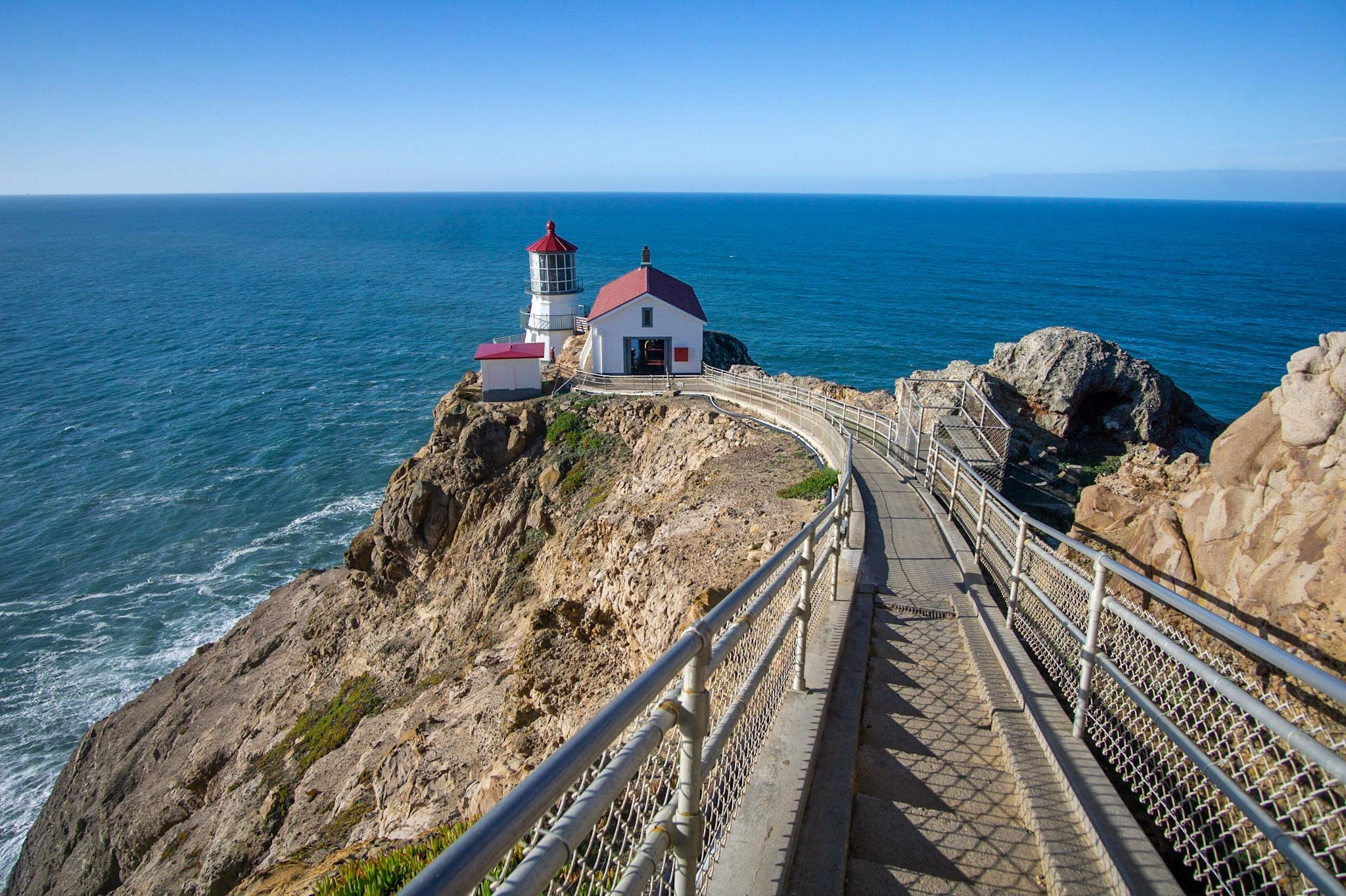
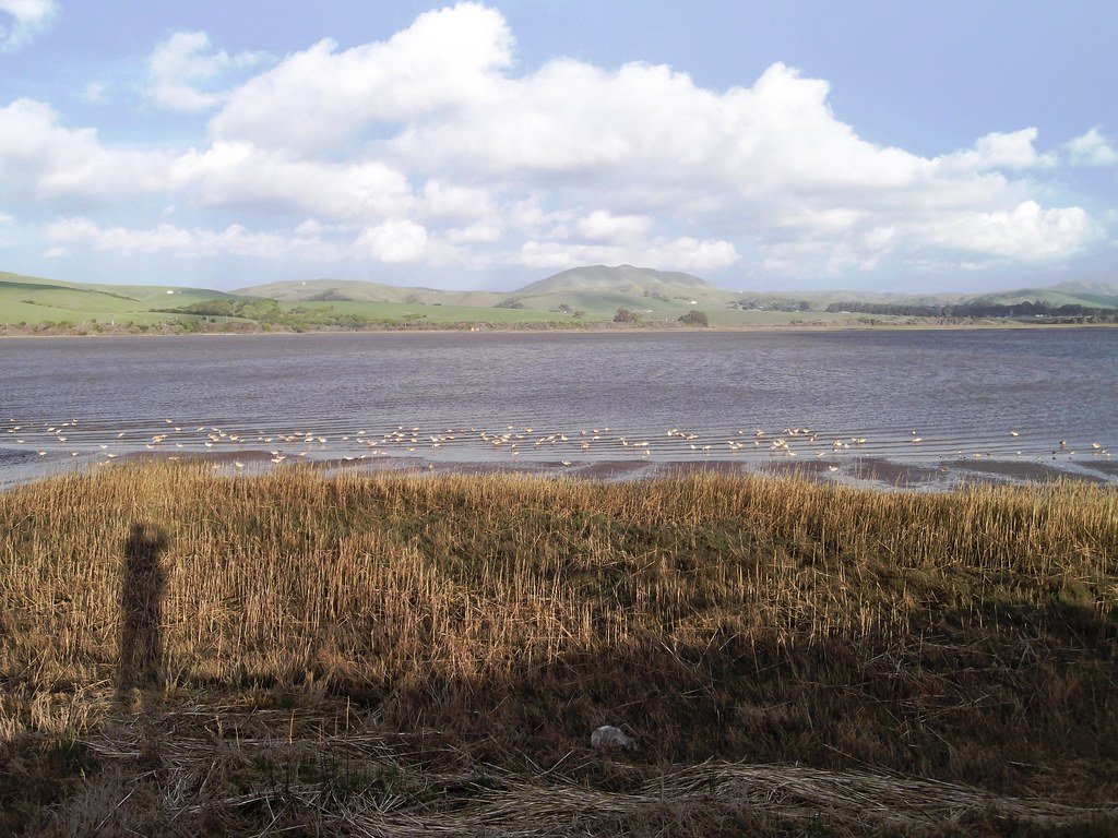
Point Reyes National Seashore occupies a dramatic peninsula that juts into the Pacific about 30 miles northwest of the Golden Gate Bridge, separating Tomales Bay to the east from the open ocean to the west.
The park holds a mix of saltwater and freshwater — ocean beaches, a large protected bay, coastal lagoons, and small inland lakes — all within a landscape shaped by the San Andreas Fault running beneath Tomales Bay.
Fishing here happens from shore or by boat, and the setting matters as much as the target species. Tomales Bay, the long, narrow inlet that forms the park's eastern boundary, is the most accessible saltwater fishery.
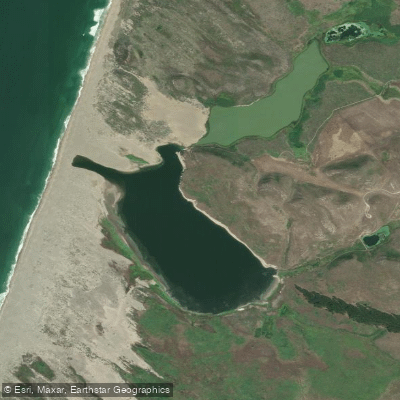
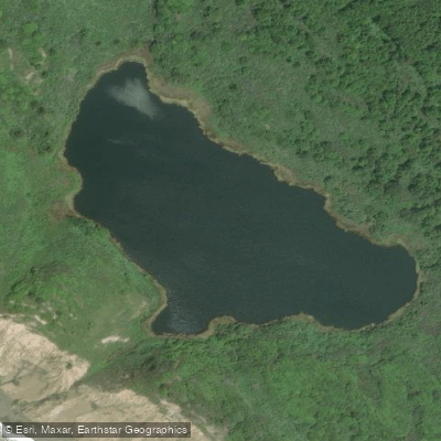
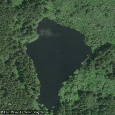
Abbotts Lagoon, on the northwestern coast, is a two-stage system where the upper portion holds fresh water and the lower section connects to the sea.
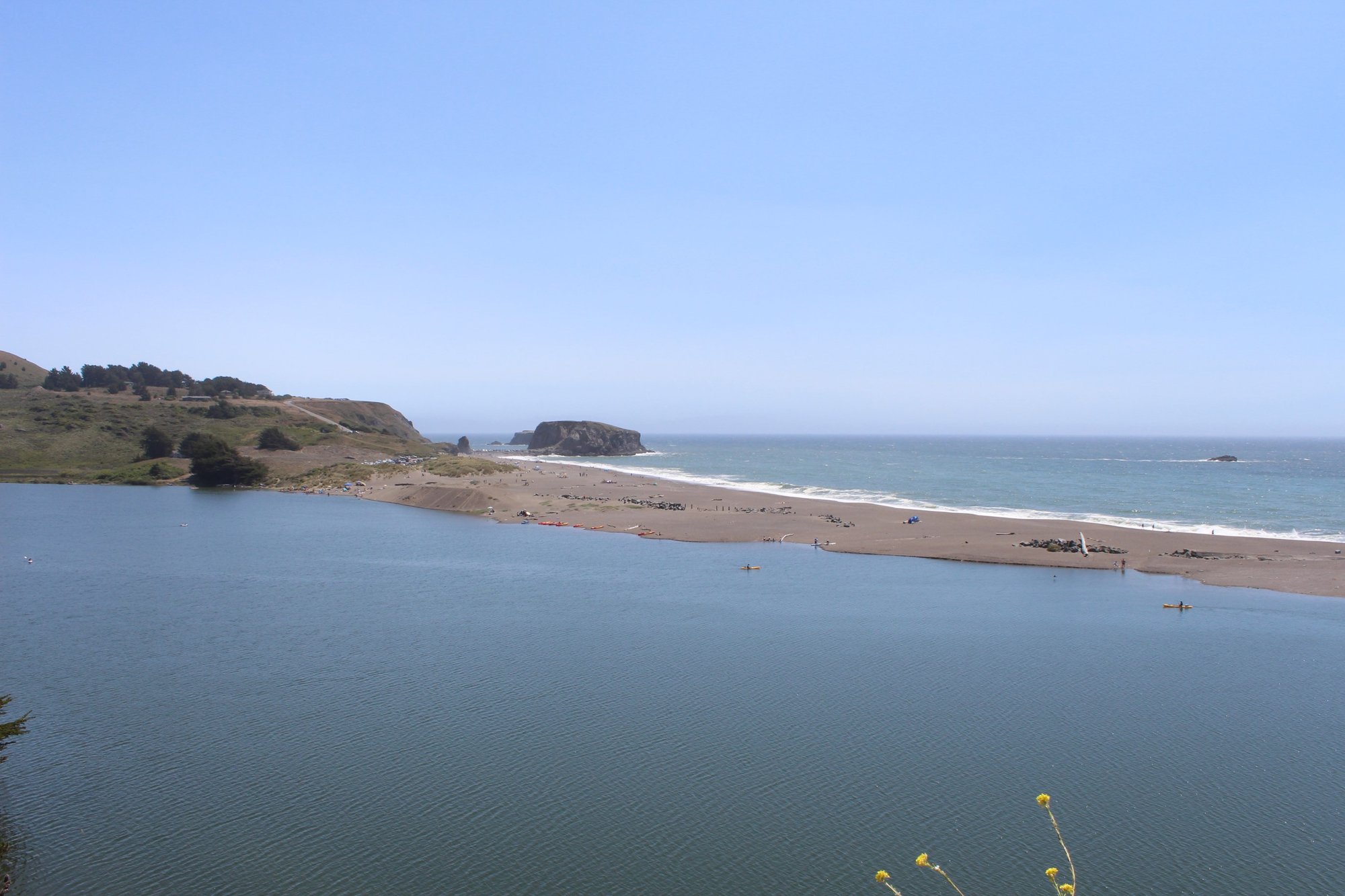
The ocean-facing beaches — Limantour, Shell Beach, and the broader Point Reyes shoreline — offer surf fishing along miles of open coast. The marine environment around the headlands carries significant restrictions.
A State Marine Reserve and State Marine Conservation Area cover more than 9½ and 12 square miles respectively off the southwestern shoreline, with a special closure running 1,000 feet from the headlands between the lighthouse and Chimney Rock.
Boating or use of any vessel is also prohibited within 100 yards of the headlands shoreline in that same stretch. Anglers fishing from shore near the headlands or approaching by water need to know these boundaries before they go.
A valid California fishing license is required throughout the park; children under 16 are exempt.
The park follows California Department of Fish and Wildlife regulations except where federal rules are stricter — and where the two conflict, federal rules govern.
Check with the park directly for current prohibited practices specific to Point Reyes before your trip. What makes fishing here different from most California coastal access is the overlay of protections.
The MPAs, the headlands closure, and the park's own regulations mean that knowing where you can fish matters as much as knowing how. That's not a deterrent — it's the reason the water holds what it does.
Species & education
Learn what type of fish are in Point Reyes National Seashore and what's needed to catch them.

Find which waters have the species you want to catch

Barred Surfperch
Amphistichus argenteus

Cabezon
Scorpaenichthys marmoratus

California Halibut
Paralichthys californicus

Chinook Salmon
Oncorhynchus tshawytscha

Copper Rockfish
Sebastes caurinus

Leopard Shark
Triakis semifasciata

Lingcod
Ophiodon elongatus

Pacific Halibut
Hippoglossus stenolepis

Petrale Sole
Eopsetta jordani

Redtail Surfperch
Amphistichus rhodoterus

Spiny Dogfish
Squalus acanthias

Starry Flounder
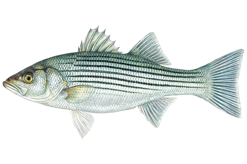
Striped Bass
Morone saxatilis
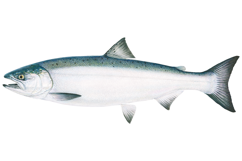
Coho Salmon
Oncorhynchus kisutch

Rainbow Trout
Oncorhynchus mykiss
Water and weather conditions (10 day forecast)
See the best times to fish Point Reyes National Seashore and check the forecast before you go.
No forecast data available.
Park alerts & road status
Closures and conditions Point Reyes National Seashore has posted, from the National Park Service.
Checking the park's alerts…
Hours & fees
When Point Reyes National Seashore is open and what it costs to get in, from the National Park Service.
Hours
Point Reyes National Seashore is open to visitors every day of the year! The park is open from 6 am to midnight. (Visit our Visitor Centers web page, for the hours for the Bear Valley Visitor Center, the Kenneth C. Patrick Visitor Center at Drakes Beach, and the Point Reyes Lighthouse and the stairs leading down to the lighthouse.) Overnight parking is only permitted in the park with a valid backcountry camping permit or for visitors staying at the Point Reyes Hostel.
Entrance fees
No entrance fee is listed for this park.
Parking & getting around
Where to leave the car in Point Reyes National Seashore. Lots fill early on busy days, so plan where you will park before you head for the water.
Abbotts Lagoon Trailhead Parking Lot
ClosedThe Abbotts Lagoon Trailhead Parking Lot is a dirt/gravel parking lot that can accommodate ~40 vehicles. The Abbotts Lagoon Trailhead is at the northwest corner of the lot. A vault toilet building and litter and recycling receptacles are located along the east side of the lot. The Abbotts Lagoon Trailhead Parking Lot is approximately 25 minutes by car from the Bear Valley Visitor Center via Sir Francis Drake Boulevard and Pierce Point Road.
Bayview Trailhead Parking Lot
ClosedThe Bayview Trailhead Parking Lot is a small dirt parking lot with space for ~20 vehicles on the north side of Limantour Road 4.4 miles (7 km) from Bear Valley Road. The Bayview Trail crosses Limantour Road at this location and the Inverness Ridge Trail heads north from the parking lot's western end. The Bayview Trailhead Parking Lot is approximately 12 minutes by car from the Bear Valley Visitor Center. A bulletin board with information about the 1995 Vision Fire is located along the lot's north side.
Bear Valley Bus/RV/Trailer Parking Lot
ClosedA dirt parking lot near the Bear Valley Visitor Center and Bear Valley Trailhead with space for ~20 buses, RVs, and/or vehicles towing trailers. It is available for day use only. The Bear Valley Trailhead is at the southeast corner of the lot.
Bear Valley Trailhead Parking Lot
ClosedA gravel parking lot with space for ~210 vehicles. The Bear Valley Trailhead is at the southwest corner of the parking lot. The Bear Valley Picnic Area is to the north of the parking lot and its restroom is at the parking lot's northeast corner. The Bear Valley Visitor Center is located a short distance to the northwest.
Bear Valley Visitor Center Parking Lot
ClosedA paved parking lot with space for 52 vehicles adjacent to the Bear Valley Visitor Center. As of June 2022, there are six type-2 EV charging stations available. To help reduce traffic congestion in the Bear Valley Visitor Center Parking Lot, please park your vehicle(s) in the gravel, trailhead/picnic area parking lot on the left (east) side of the access road close to the Bear Valley Trailhead if you will be parking your car in the area for more than 30 minutes.
Bolinas Ridge Trailhead Roadside Parking
ClosedSpace for parking at the Bolinas Ridge Trailhead consists of an approximately 300-foot-long paved shoulder and an approximately 200-foot-long gravel shoulder along the sides of Sir Francis Drake Boulevard 1.1 miles east of Olema. There are no other facilities or amenities at this location. This trailhead is approximately 5 minutes by car from the Bear Valley Visitor Center. Space is limited. Please make sure your vehicle is entirely out of the lane of travel.
Bull Point Trailhead Parking Lot
ClosedA small gravel parking lot at the Bull Point Trailhead with space for ~10 vehicles. Park here to hike the Bull Point Trail, with begins at the eastern corner of the lot. There is a bulletin board with information about the Bull Point Trail adjacent to the trailhead. The Bull Point Trailhead Parking Lot is approximately 25 minutes by car from the Bear Valley Visitor Center via Sir Francis Drake Boulevard.
Chimney Rock Parking Lot
ClosedA small paved parking lot with space for 20 vehicles. Park here to hike the Chimney Rock Trail, walk to the Elephant Seal Overlook, or visit the Historic Point Reyes Lifeboat Station. A vault toilet is located at the southeast corner of the parking lot. The Chimney Rock Parking Lot is approximately 45 minutes by car from the Bear Valley Visitor Center via Sir Francis Drake Boulevard.
Coast Trailhead Roadside Parking
ClosedSpace for parking at the Coast Trailhead consists of an approximately 300-foot-long unpaved shoulder along the south side of the Laguna Road (e.g., across the road from the hostel). There are no other facilities or amenities at this location. This trailhead is approximately 15 minutes by car from the Bear Valley Visitor Center via Limantour Road and Laguna Road. Space is limited. Please make sure your vehicle is completely off the pavement.
Commonweal Entrance Parking Lot
ClosedA small dirt/gravel parking lot with space for 40 vehicles at the entrance to Commonweal. Access to unmaintained trails on the Niman Ranch/Commonweal area is available along the lot's southeast edge. Or walk along the Commonweal Road for 0.4 miles to the southwest to where a trail heads south from the road. There are no other facilities or amenities at this location. The Commonweal Entrance Parking Lot is ~25 minutes by car from the Bear Valley Visitor Center via Highway 1, Olema–Bolinas Road, & Mesa Road.
Getting around
Point Reyes is located along the west coast of California approximately 30 miles (50 km) north of San Francisco. Travelers may approach the park from the winding scenic Highway 1, either from the north or the south. Visitors can also reach the park via Sir Francis Drake Boulevard or the Point Reyes/Petaluma Road.
Directions on nps.govFishing guides near Point Reyes National Seashore
Book a trip with a local fishing guide through Guidesly.

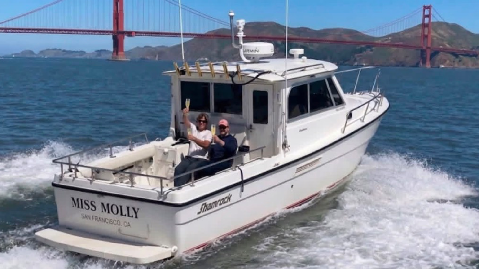
Molly Breivis
Molly's Boats
5.0 (32 reviews)
Hook the Bay with Captain Molly!
Book on Guidesly, opens in new tab
John Garner
Addictive Sport Fishing
4.0 (4 reviews)
Bay Bliss: Book Your San Francisco Fishing Charter
Book on Guidesly, opens in new tab
Steve Conwell
InstaForager
5.0 (2 reviews)
InstaForager - Premier Fishing & Foraging Guide
Book on Guidesly, opens in new tab
Alex Goffo
The Art of Crabbing
5.0 (1 review)
Experience Top San Francisco Crabbing Charters!
Book on Guidesly, opens in new tab
John Badger
Barbarian Sportfishing
Bay Fishing at its Finest!
Book on Guidesly, opens in new tab
Don Franklin
Sole-Man Sportfishing
Your Ultimate San Francisco Fishing Escapade.
Book on Guidesly, opens in new tab
Fish smarter with real-time insights
Whether you're en route and conditions shift or you're looking for the best spot based on current flows, we enable you to make informed decisions on the fly.




Fishing near Point Reyes National Seashore
Loading...
Other parks in California
- Channel Islands National Park
- Death Valley National Park
- Golden Gate National Recreation Area
- Kings Canyon National Park
- Lassen Volcanic National Park
- Pinnacles National Park
- Redwood National Park
- Santa Monica Mountains National Recreation Area
- Sequoia National Park
- Whiskeytown-Shasta-Trinity National Recreation Area
- Yosemite National Park
Gateway towns
Where to base yourself for fishing in Point Reyes National Seashore.
The main hub for the seashore, with lodging, restaurants, groceries, and gear just outside the park boundary.
- OlemaCA
Sits at the park's eastern entrance on Highway 1, with a hotel and inn serving as a direct base for trails and visitor access.
Small village inside the seashore corridor offering lodging, kayak access to Tomales Bay, and proximity to Drakes Beach trailheads.
Point Reyes National Seashore fishing rules
The park's own rules, on top of California licenses and regulations. Limits, fees and closures change, so check the park's page before you go.

California Fishing License Required
You need a valid California fishing license to fish anywhere in the park. Kids under 16 are exempt. Follow all California Department of Fish and Wildlife licensing requirements.

State Rules Apply With Federal Exceptions
Fishing follows California state regulations unless a park-specific federal rule says otherwise. When the two conflict, the federal rule wins. Check the park's fishing page for prohibited practices specific to Point Reyes.
Explore Point Reyes National Seashore
Top fishing waters
Popular Cities
Loading popular cities...

Smarter Fishing Starts in the App.
onWater Fish gives you everything you need to plan smarter, fish better, and own every trip from first cast to last.