Netarts Bay
- Saltwater
- Bay
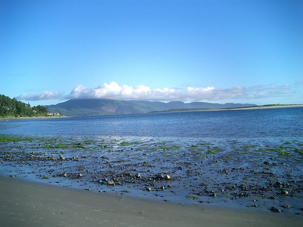
Netarts Bay
- Saltwater
- Bay
- Sq. miles
- 3.6
- Boat Ramps
- 1
- Access Points
- 0
- Species
- 4
Netarts Bay is a 2,325-acre tidal estuary nestled along Oregon's scenic coast, offering a uniquely peaceful and productive fishing environment. Unlike more developed coastal bays, it remains relatively undeveloped, surrounded by sandy beaches, lush forests, and the dramatic Cape Lookout. This protected, shallow estuary is a prime destination for anglers targeting a mix of shellfish and finfish, with its calm waters making it ideal for families, kayakers, and those seeking a less crowded experience. The entire ecosystem is heavily influenced by daily tidal movements, which dictate the best times for fishing, clamming, and crabbing.
Species & education
Learn what type of fish are at Netarts Bay and what's needed to catch them.

Find which waters have the species you want to catch

Albacore
Thunnus alalunga
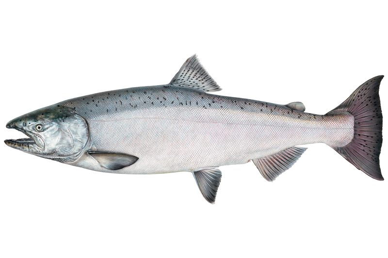
Chinook Salmon
Oncorhynchus tshawytscha

Chum Salmon
Oncorhynchus keta

Steelhead
Fishing spots, boat ramps & amenities
Learn how to get on Netarts Bay. Uncover great fishing access points, boat ramps, and all the facilities you need for an unforgettable day on the water. Some locations shown may border or include private property. Always check property boundaries and applicable regulations before visiting. onWater's Public & Private Land layer can help you plan your access with confidence.
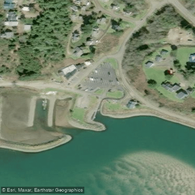
Know where you can legally fish on Netarts Bay
See public and private land boundaries along the water, turn on private parcels with owner details to know where permission is required, and find land-trust parcels that offer permitted fishing access.
Oregon licenses and regulations

Oregon Boating Regulations
When using any type of watercraft to access a body of water, it is important to follow all federal, state, and local rules and regulations. These rules and regulations include boat permitting and licensing, invasive species inspections and stamps, life jacket and PFD rules, motor size and horsepower restrictions, noise limitations, restrictions on personal watercraft, and many more. Visit the web link below for the most current rules and regulations for this body of water.

Oregon Coastal & Inland Waters
Oregon's Marine Zone covers the Pacific Ocean, coastal bays, and beaches, separated from inland waters at the normal high tide line on open beaches or at the visible ends of jetties where they exist. On the Columbia River, the boundary runs through a north-south line at Buoy 10. Marine Zone rules and licensing requirements apply throughout this zone, and Oregon sport fishing regulations also extend through the state's Fisheries Conservation Zone 50 miles from shore.

Oregon Federal Waters & Offshore Rules
Beyond state waters, NOAA Fisheries and the Pacific Fishery Management Council manage fisheries in federal waters, which generally run from 3 to 200 nautical miles offshore. Federal rules govern offshore species such as albacore tuna and groundfish in those waters, and permitting requirements vary by species, gear, and fishing type. NOAA Fisheries provides regional resources for permits, rules, and reporting requirements for fishing in federal waters.

Oregon Saltwater Fishing License
Anyone needs an Oregon angling license to fish saltwater, issued by the Oregon Department of Fish and Wildlife. Most ocean anglers also need an Ocean Endorsement, though it is included free with certain resident licenses and is not required on Free Fishing Weekends or for youth. A separate shellfish license is required if you want to harvest shellfish or marine invertebrates.

Oregon Saltwater Size & Bag Limits
Size and bag limits apply per species and can change throughout the year, set by the Oregon Department of Fish and Wildlife. Headline species with their own rules include rockfish, lingcod, Pacific halibut, ocean salmon, cabezon, and albacore tuna. Current limits for each species are maintained on the ODFW Marine Zone page.

Oregon Shellfish Closures & Advisories
A shellfish license issued by the Oregon Department of Fish and Wildlife is required to harvest shellfish such as Dungeness crab, clams, mussels, and oysters recreationally. Areas close without notice due to biotoxins including paralytic shellfish poison and domoic acid, and closures can affect the entire Oregon coast at once. Check current opening and closure status before every trip through the Oregon Department of Agriculture's shellfish biotoxin hotline and closures page.
Take Netarts Bay with you
The onWater Fish app keeps this water's access points, species and conditions in your pocket, with the tools you use once you're there.
Use the map without signal
Download the map around Netarts Bay to use it offline when coverage drops.
Log your catches here
Keep a private fishing journal for Netarts Bay to find where and when fish are biting for you.
Get the onWater Fish app
Free on iOS and Android
Tides, wind & water conditions (10 day forecast)
On open water, wind and tide matter as much as the weather. See the best times to fish Netarts Bay and check the marine forecast before you launch.
Loading tide predictions…
Netarts Bay fishing guides
Book a trip with a local fishing guide through Guidesly.


Fishing near Netarts Bay
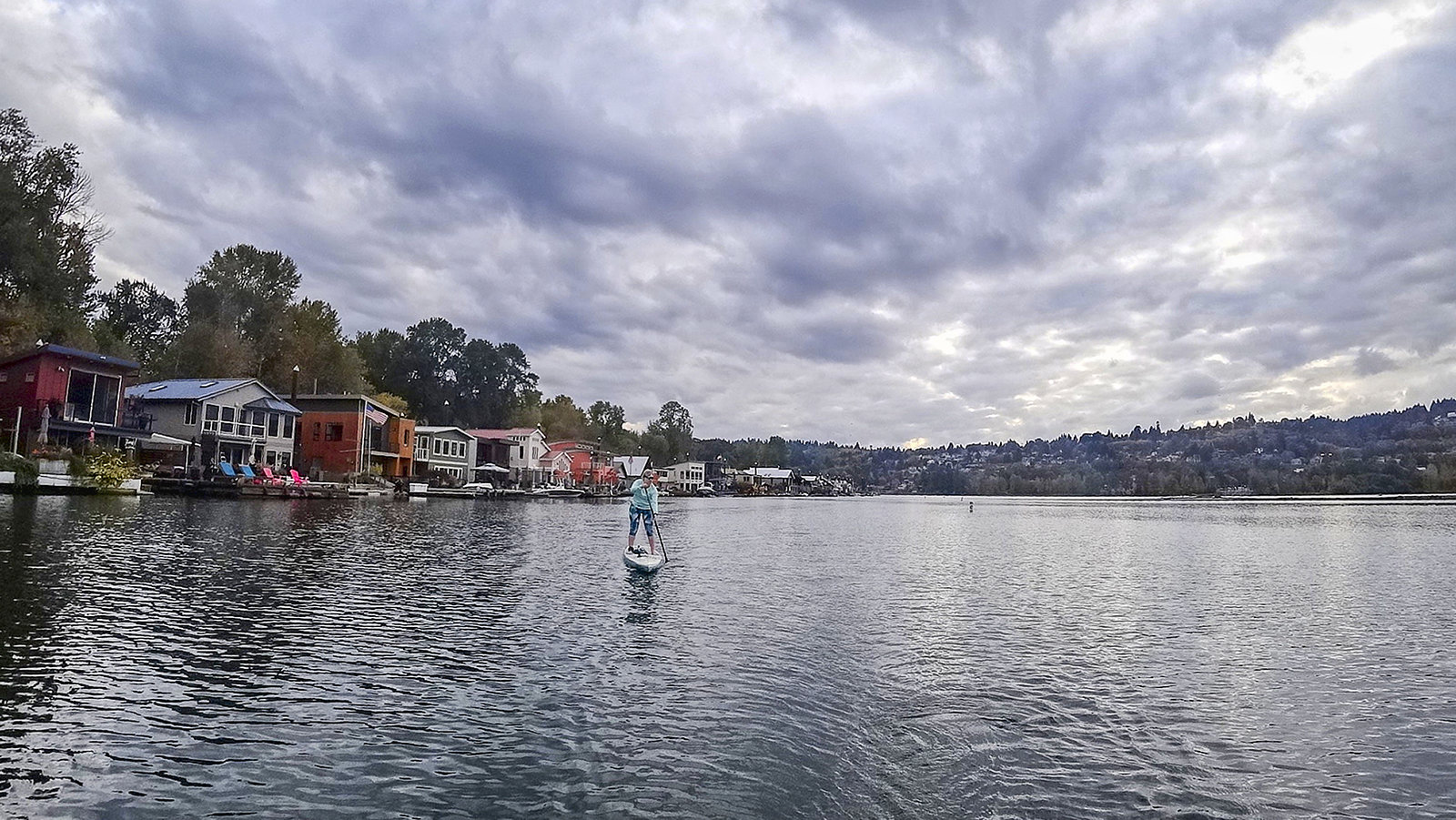
Willamette River
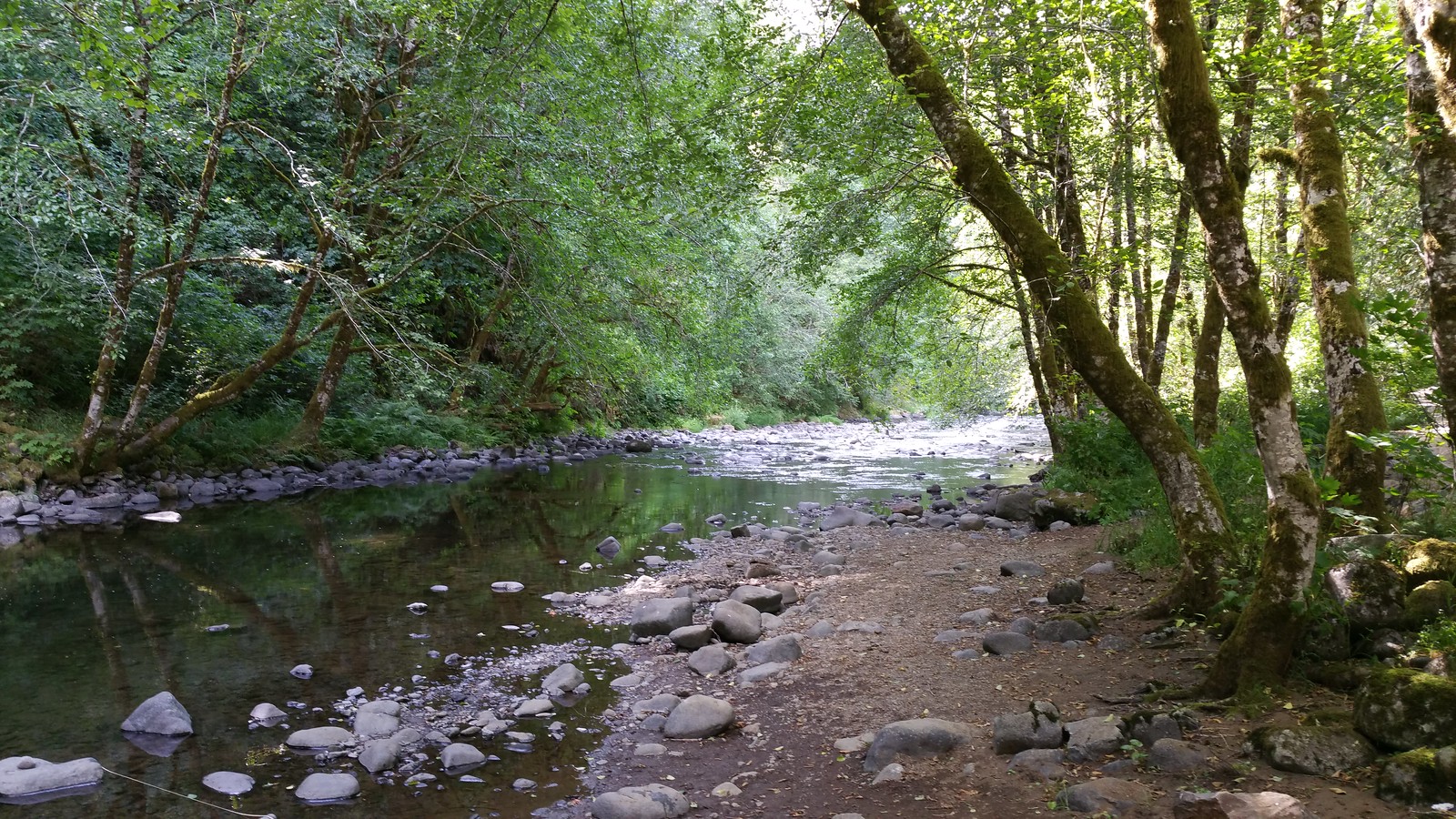
Nestucca River
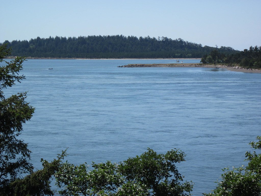
Tillamook Bay
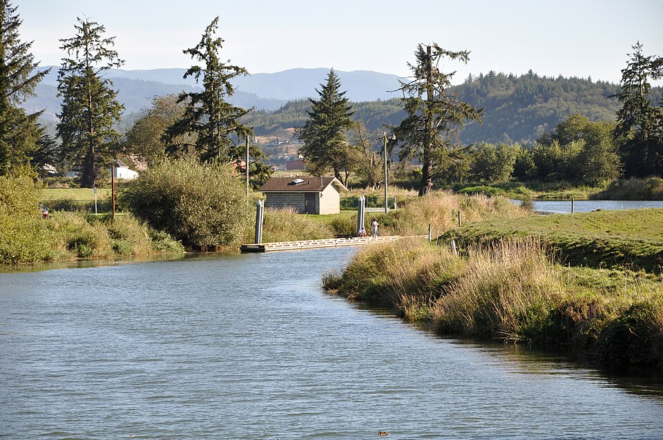
Trask River
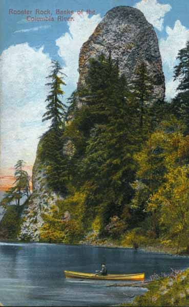
Columbia River
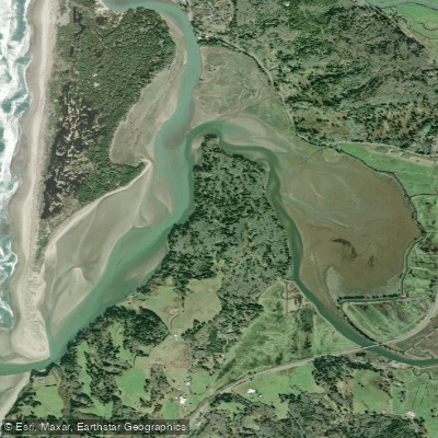
Nestucca Bay
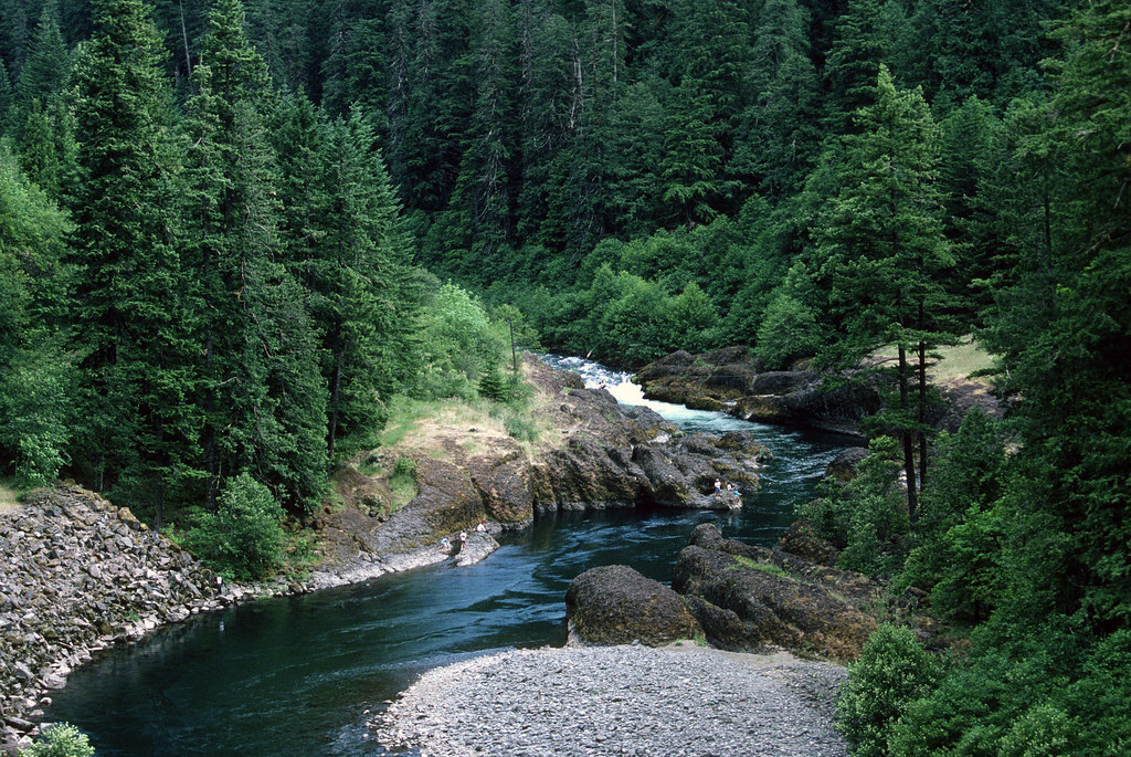
Clackamas River
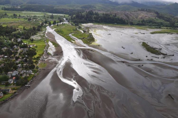
Siletz River
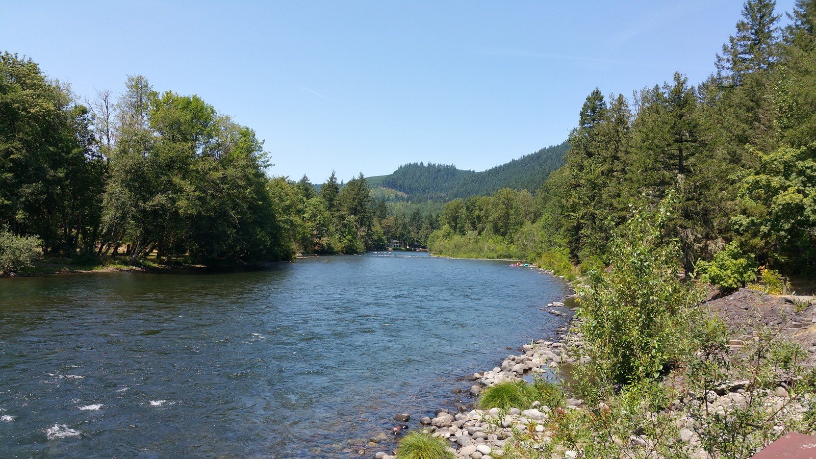
North Santiam River
Explore Oregon waters
Top fishing waters
Popular Cities
Loading popular cities...
Explore near Netarts Bay
Fish species
Fishing spots
Nearby waters
More in Oregon

Smarter Fishing Starts in the App.
onWater Fish gives you everything you need to plan smarter, fish better, and own every trip from first cast to last.