Manns Fork Salt Creek
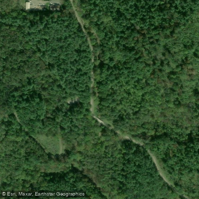
- Boat Ramps
- 1
- Access Points
- 1
- Species
- 5
Manns Fork Salt Creek is a significant tributary within the Salt Creek watershed in Muskingum County, Ohio. It runs approximately 13.4 miles with an average gradient of 37.90 feet per mile. This stream is part of the larger Muskingum River Basin and boasts excellent water quality, earning full attainment of its designated Warmwater Habitat (WWH) aquatic life use standards during environmental assessments. The surrounding landscape is predominantly wooded (63.72% of the area), with agricultural use accounting for 34.39% of the land. With a drainage area of 21.20 square miles, Manns Fork Salt Creek offers anglers productive fishing opportunities in a scenic rural setting characterized by forested hillsides and rolling terrain.
Species & education
Learn what type of fish are at Manns Fork Salt Creek and what's needed to catch them.
Find which waters have the species you want to catch

Largemouth Bass
Micropterus salmoides

Smallmouth Bass
Micropterus dolomieu

Bluegill Sunfish
Lepomis macrochirus

Channel Catfish
Ictalurus punctatus

Rock Bass
Ambloplites rupestris
Fishing spots, boat ramps & amenities
Learn how to get on Manns Fork Salt Creek. Uncover great fishing access points, boat ramps, and all the facilities you need for an unforgettable day on the water. Some locations shown may border or include private property. Always check property boundaries and applicable regulations before visiting. onWater's Public & Private Land layer can help you plan your access with confidence.
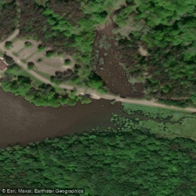
Know where you can legally fish on Manns Fork Salt Creek
See public and private land boundaries along the water, turn on private parcels with owner details to know where permission is required, and find land-trust parcels that offer permitted fishing access.
Ohio licenses and regulations
Ohio Boating Regulations
When using any type of watercraft to access a body of water, it is important to follow all federal, state, and local rules and regulations. These rules and regulations include boat permitting and licensing, invasive species inspections and stamps, life jacket and PFD rules, motor size and horsepower restrictions, noise limitations, restrictions on personal watercraft, and many more. Visit the web link below for the most current rules and regulations for this body of water.
Ohio Fishing License
Persons under 16 years of age are not required to purchase a fishing license.
Ohio Fishing Regulations
This river has a variety of species and regulations, including potential floating and/or watercraft restrictions. Because this river is specially managed for species, seasons, angling methods, and watercraft, it is strongly encouraged you check all federal, state, and local regulations before fishing. Visit any of the links below, inquire locally, or contact a local fly shop to learn current regulations and restrictions.

Ohio Stream Access Laws
Ohio does not believe there is a precise definition for navigability, so it is determined on a case-by-case basis. However, the state generally accepts waterways capable of recreational boating, with a history of recreation and with public access. The public is allowed to recreate freely on all navigable waters but streambeds are not publicly owned.
Take Manns Fork Salt Creek with you
The onWater Fish app keeps this water's access points, species and conditions in your pocket, with the tools you use once you're there.
Use the map without signal
Download the map around Manns Fork Salt Creek to use it offline when coverage drops.
Log your catches here
Keep a private fishing journal for Manns Fork Salt Creek to find where and when fish are biting for you.
Get the onWater Fish app
Free on iOS and Android
Water and weather conditions (10 day forecast)
See the best times to fish Manns Fork Salt Creek and check the forecast before you go.
No forecast data available.
Fishing near Manns Fork Salt Creek
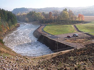
Wills Creek
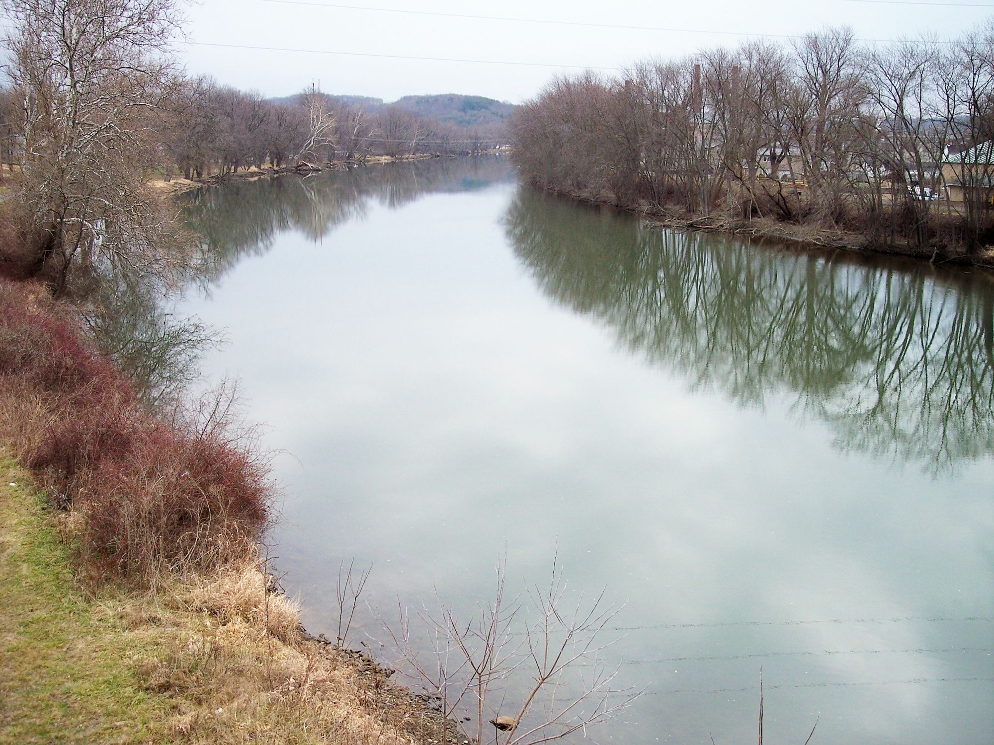
Tuscarawas River
Walhonding River
Lake Logan
Kokosing River
Ohio River
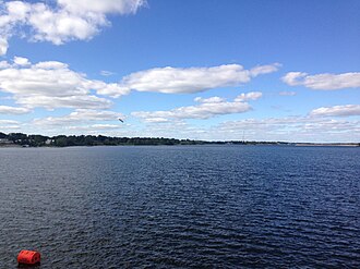
Hoover Reservoir
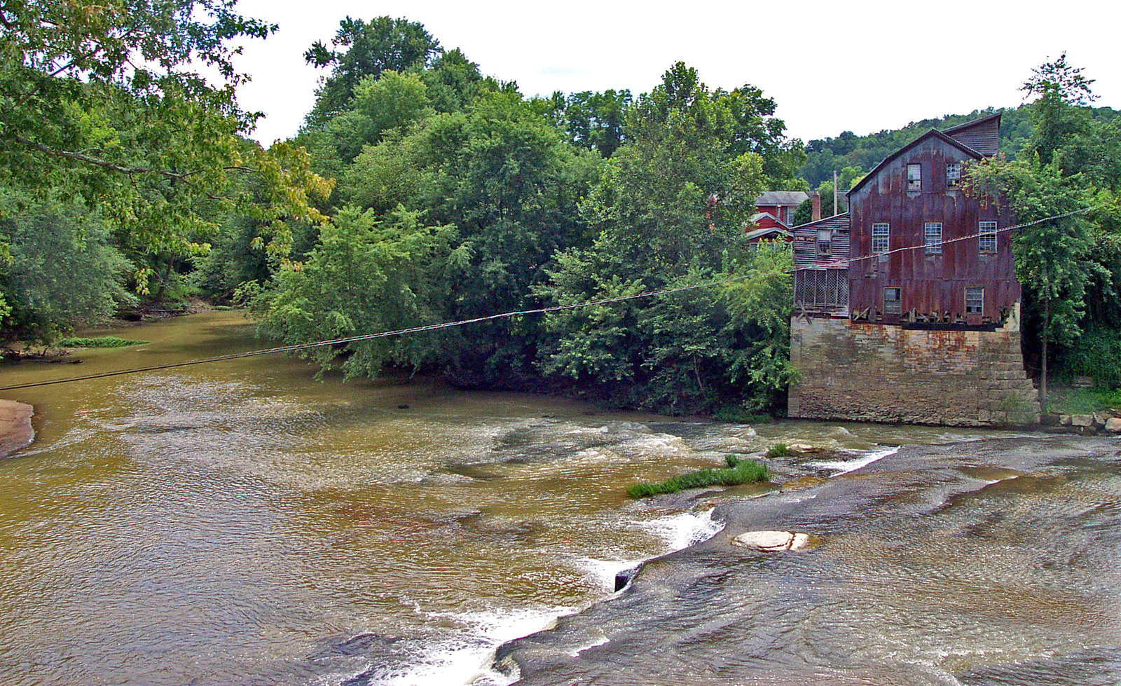
Raccoon Creek
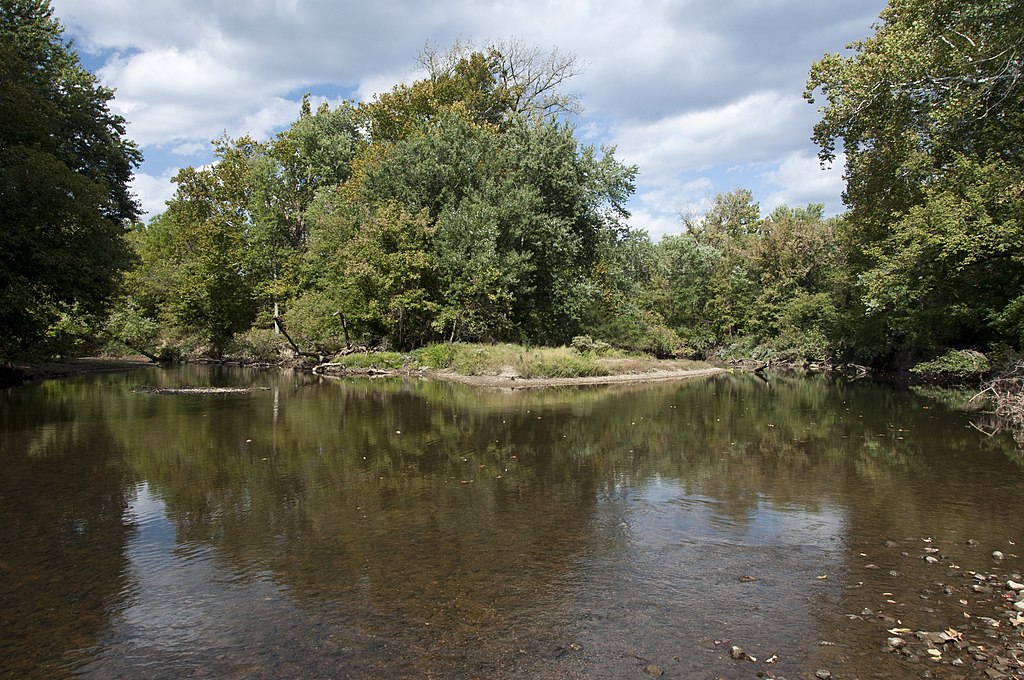
Big Walnut Creek
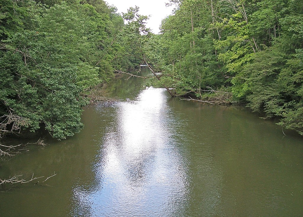
Clear Fork Mohican River
Explore near Manns Fork Salt Creek
Fishing spots
Nearby waters
More in Ohio

Smarter Fishing Starts in the App.
onWater Fish gives you everything you need to plan smarter, fish better, and own every trip from first cast to last.