Clark Fork
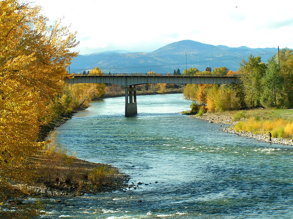
Clark Fork
- Boat Ramps
- 24
- Access Points
- 62
- Species
- 8
The Clark Fork River is a magnificent and diverse waterway that stretches over 300 miles, beginning near Warm Springs and Deer Lodge, Montana, and flowing northwest through Montana into Idaho where it empties into Lake Pend Oreille. This remarkable river system transforms dramatically along its journey, starting as a small, meadow-like stream in its headwaters before growing into Montana's largest river by the time it reaches Idaho. The Clark Fork has overcome significant environmental challenges from its mining history, particularly around Butte and Anaconda, where copper mining in the 1890s severely impacted water quality. Thanks to extensive cleanup efforts and conservation work, the river has made a remarkable recovery and now offers excellent trout fishing opportunities throughout much of its length. The river's size, character, and fish populations vary greatly from section to section, providing anglers with diverse fishing experiences from intimate small-stream fishing in the upper reaches to big-water tactics on the lower river.
Species & education
Learn what type of fish are at Clark Fork and what's needed to catch them.

Find which waters have the species you want to catch

Smallmouth Bass
Micropterus dolomieu

Rainbow Trout
Oncorhynchus mykiss

Brown Trout
Salmo trutta
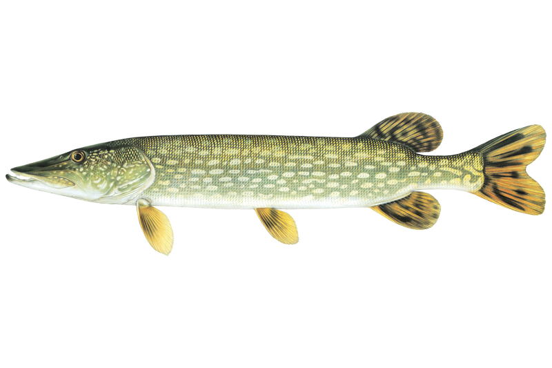
Northern Pike
Esox lucius

Mountain Whitefish
Prosopium williamsoni

Northern Pikeminnow
Ptychocheilus oregonensis
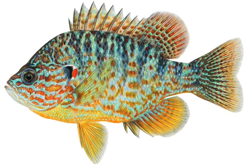
Pumpkinseed
Lepomis gibbosus

White Sucker
Catostomus commersonii
Fish stocking schedule
Latest 5 stockings
- Kokanee Salmon64,720 fish · 1.5 inJun 19, 2020
- Kokanee Salmon64,090 fish · 1.5 inJun 21, 2019
- Kokanee Salmon30,300 fish · 4.5 inJun 14, 2016
- Kokanee Salmon5,850 fish · 1.5 inJun 6, 2016
- Kokanee Salmon78,400 fish · 1.5 inJun 6, 2016
Source
Idaho Department of Fish and Game
Updated Nov 13, 2026. Sizes are the length the agency reports. Dates are as precise as the agency reports them.
Open stocking page, opens in new tabFishing spots, boat ramps & amenities
Learn how to get on Clark Fork. Uncover great fishing access points, boat ramps, and all the facilities you need for an unforgettable day on the water. Some locations shown may border or include private property. Always check property boundaries and applicable regulations before visiting. onWater's Public & Private Land layer can help you plan your access with confidence.
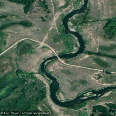
Horse Riding Trail access
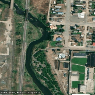
Clark Fork River Trail access
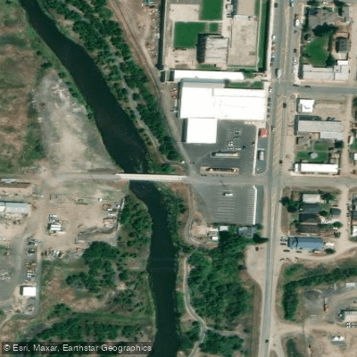
Clark Fork River Bridge access
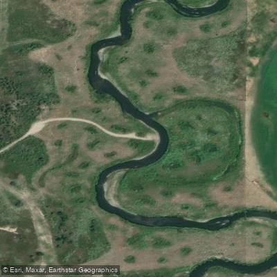
Warm Springs Wildlife Management Area access
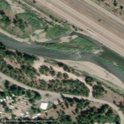
Turah FAS
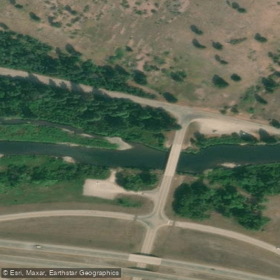
Bearmouth Fishing Access Site
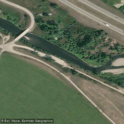
Clark Fork River access
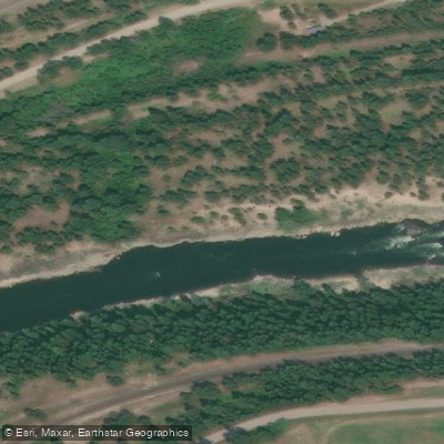
Ralph's Takeout Access
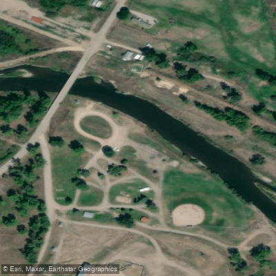
Clark Fork Access
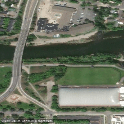
University of Montana access
Know where you can legally fish on Clark Fork
See public and private land boundaries along the water, turn on private parcels with owner details to know where permission is required, and find land-trust parcels that offer permitted fishing access.
Montana licenses and regulations

Montana Boating Regulations
When using any type of watercraft to access a body of water, it is important to follow all federal, state, and local rules and regulations. These rules and regulations include boat permitting and licensing, invasive species inspections and stamps, life jacket and PFD rules, motor size and horsepower restrictions, noise limitations, restrictions on personal watercraft, and many more. Visit the web link below for the most current rules and regulations for this body of water.

Montana Fishing License
All anglers 12 and over must possess a license.

Montana Fishing Regulations
This river has a variety of species and regulations, including potential floating and/or watercraft restrictions. Because this river is specially managed for species, seasons, angling methods, and watercraft, it is strongly encouraged you check all federal, state, and local regulations before fishing. Visit any of the links below, inquire locally, or contact a local fly shop to learn current regulations and restrictions.

Montana Stream Access Laws
Under the Montana Stream Access Law, the public may use rivers and streams for recreational purposes up to the ordinary high water marks. Although the law gives recreationists the right to use rivers and streams for water-related recreation, it does not give them the right to enter private lands bordering those streams or to cross private lands to gain access to streams without landowner permission. Montana's stream access law ensures public access to surface waters by public bridge or county road right-of-way. The width of a public bridge or public road right-of-way easement is the same as the public highway to which it is attached.
Take Clark Fork with you
The onWater Fish app keeps this water's access points, species and conditions in your pocket, with the tools you use once you're there.
Use the map without signal
Download the map around Clark Fork to use it offline when coverage drops.
Log your catches here
Keep a private fishing journal for Clark Fork to find where and when fish are biting for you.
Get the onWater Fish app
Free on iOS and Android
Water and weather conditions (10 day forecast)
See the best times to fish Clark Fork and check the forecast before you go.
Clark Fork near Drummond MT
All Flow Stations
Fishing near Clark Fork
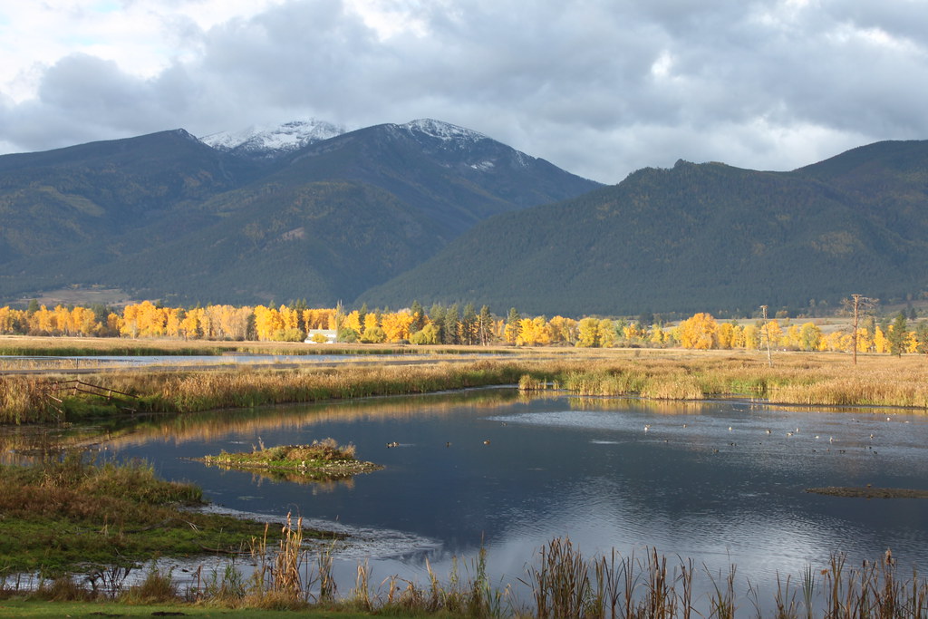
Bitterroot River
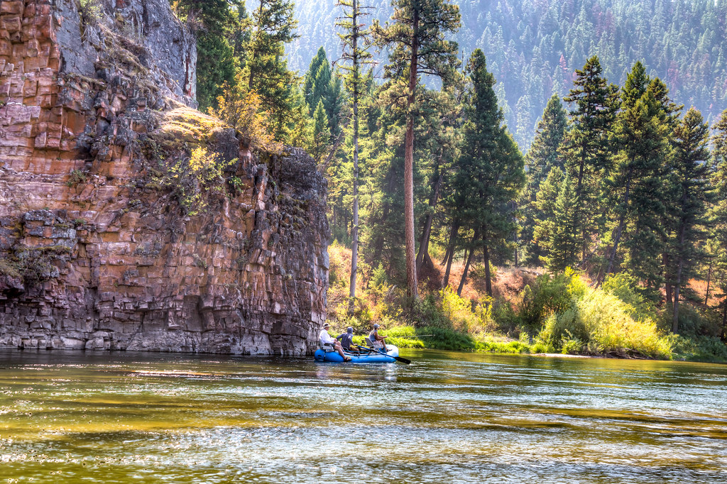
Blackfoot River
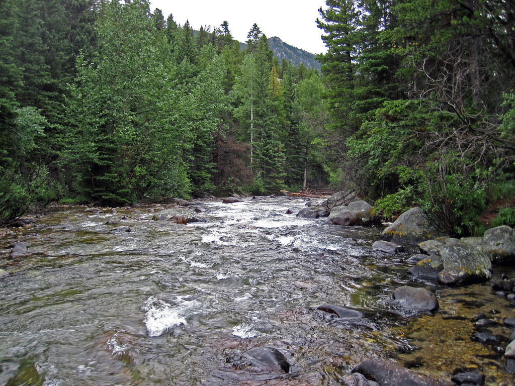
Rock Creek
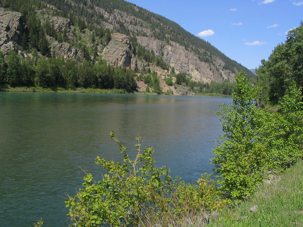
Flathead River
Clearwater River
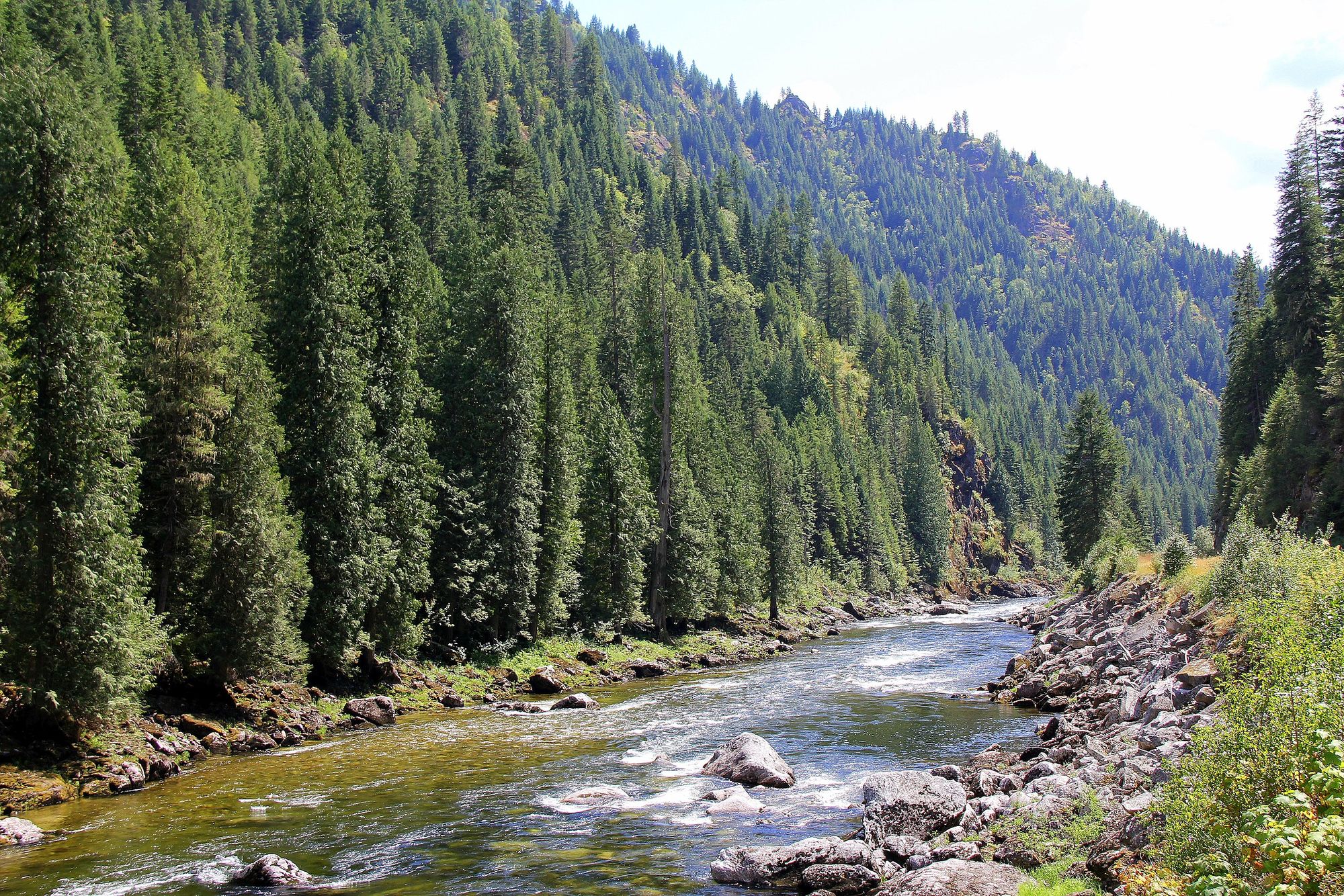
Lochsa River
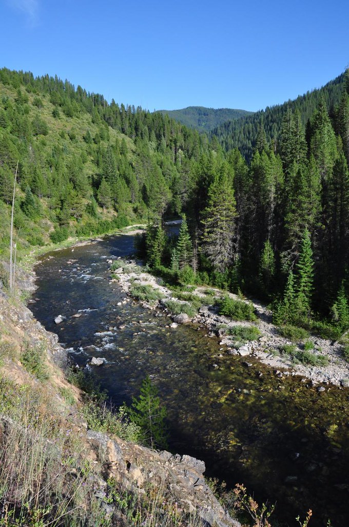
Kelly Creek
Rattlesnake Creek
Placid Lake
Explore Montana waters
Top fishing waters
Popular Cities
Loading popular cities...
Explore near Clark Fork
Fish species
Fishing spots
- Alberton Gorge Lower Boat Ramp
- Deep Creek FAS boat ramp
- Beavertail Hill State Park boat ramp
- Clark Fork Boat Ramp
- Drummond Fishing Access Site boat ramp
- Dry Creek FAS boat ramp
- Tarkio Fishing Access Site boat ramp
- Kohrs Bend FAS hand boat launch
- Arrow Stone Park boat ramp
- Bearmouth FAS
- Forest Grove Fishing Access Site boat ramp.
- Schwartz Creek FAS boat ramp
- All 352 spots
Nearby waters
More in Montana

Smarter Fishing Starts in the App.
onWater Fish gives you everything you need to plan smarter, fish better, and own every trip from first cast to last.