Shanks (Ted) Conservation Area Access
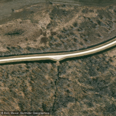
Shanks (Ted) Conservation Area Access
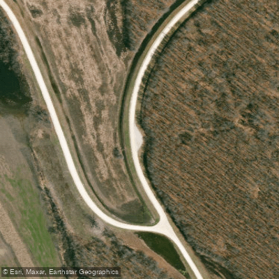
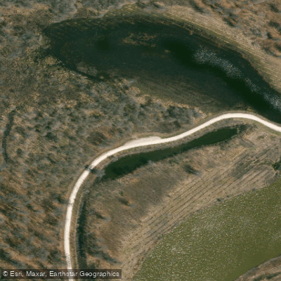
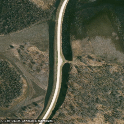
Ted Shanks Conservation Area offers multiple boat access points including a concrete boat ramp at the Salt River (ADA-accessible) and a gravel ramp, plus additional launches for interior wetland units and lakes like Horseshoe Lake and Flag Lake.
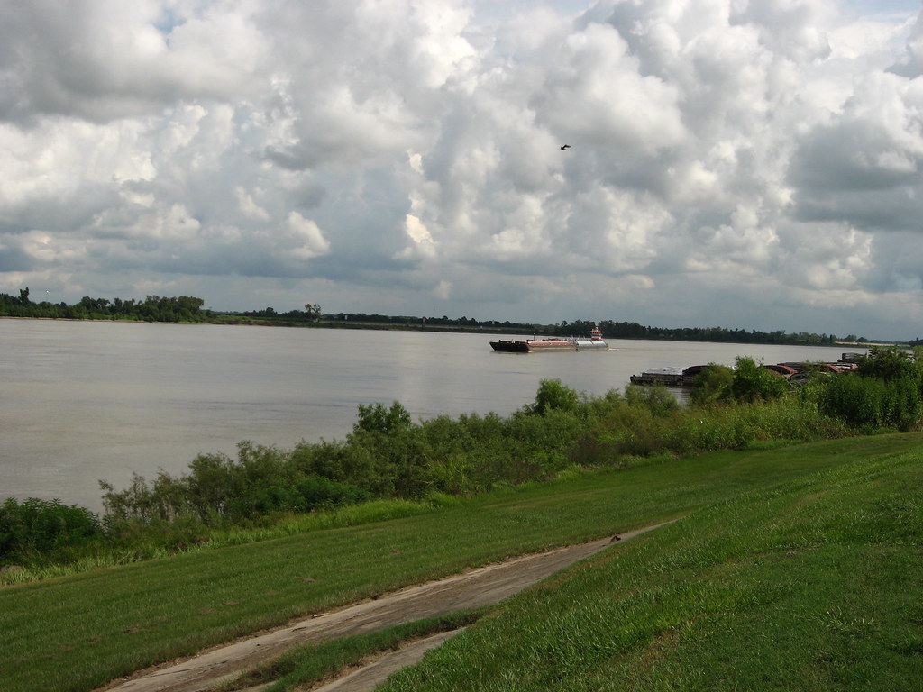
The 6,705-acre area features 35 miles of levees and roads suitable for paddling access to the Mississippi River, Salt River, and numerous interior wetland pools, with designated parking lots at various launch points.
Visitors should note that portions of the area close to all activity October 15 through March 1 to protect waterfowl, and the area is subject to frequent flooding.
Nearby points of interest
Find excellent fishing spots, easy access to boat ramps, and all the amenities you need for a memorable day. Your adventure starts here.
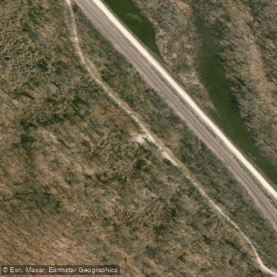
Dupont Reservation Conservation Area Access
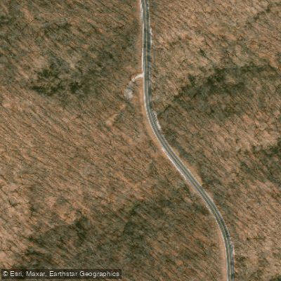
Dupont Reservation Conservation Area Access
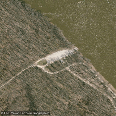
Dupont Reservation Conservation Area Access
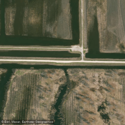
Shanks (Ted) Conservation Area Access
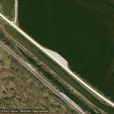
Shanks (Ted) Conservation Area Access
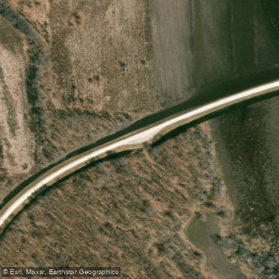
Shanks (Ted) Conservation Area Access
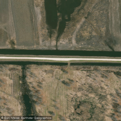
Shanks (Ted) Conservation Area Access
Shanks (Ted) Conservation Area Access
Shanks (Ted) Conservation Area Access
Shanks (Ted) Conservation Area Access
Water and weather conditions (10 day forecast)
Check the forecast at Shanks (Ted) Conservation Area Access before you go fishing.
No forecast data available.
Fishing near Shanks (Ted) Conservation Area Access
Mississippi River
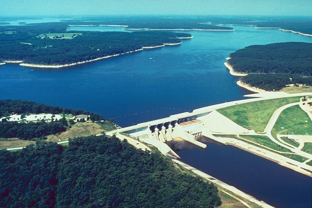
Mark Twain Lake
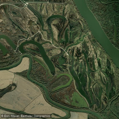
Horseshoe Lake
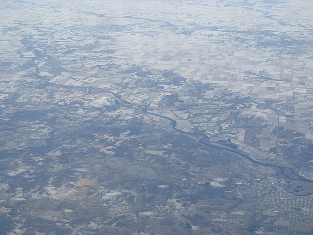
Des Moines River
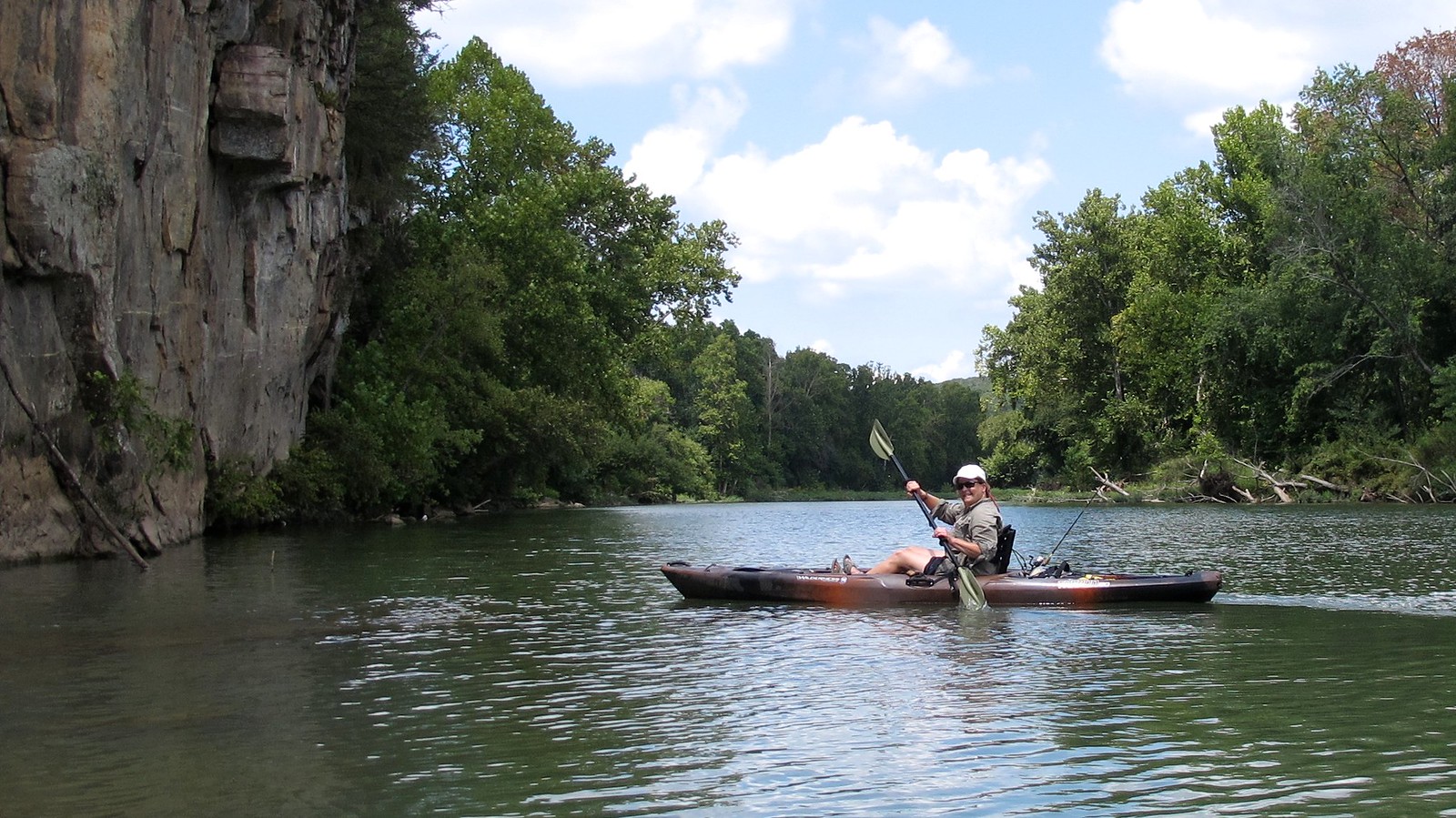
Illinois River
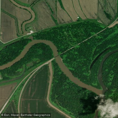
Fabius River
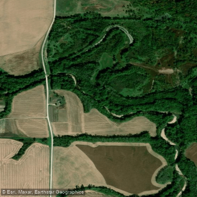
South Fabius River
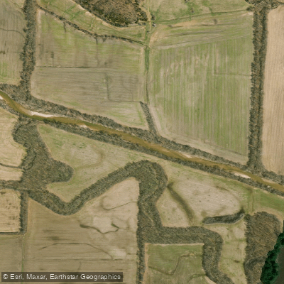
North Fabius River
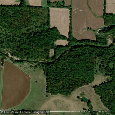
North River
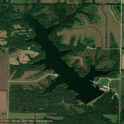
Henry Sever Lake
Missouri licenses and regulations
Explore Missouri waters
Top fishing waters
No waters available right now.
Popular Cities
Loading popular cities...
Explore near Shanks (Ted) Conservation Area Access
Nearby spots
- Dupont Reservation Conservation Area Boat Ramp
- Louisiana Access Boat Ramp
- Ted Shanks Conservation Area Boat Ramp
- Dupont Reservation Conservation Area Access
- Shanks (Ted) Conservation Area Access
- Ted Shanks Conservation Area Access
- Dupont Reservation Camp Site
- Shanks (Ted) Camp Site
- Dupont Reservation Conservation Area Parking
- Shanks (Ted) Conservation Area Parking
Nearby waters
More in Missouri

Smarter Fishing Starts in the App.
onWater Fish gives you everything you need to plan smarter, fish better, and own every trip from first cast to last.