Clear Creek Landing Public Use Area Access
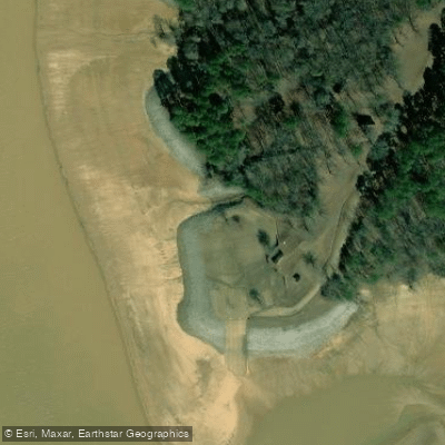
Clear Creek Landing Public Use Area Access
Clear Creek Landing provides public access to Sardis Lake with a boat ramp, 68 picnic sites, and two group pavilions ($100/day reservation) managed by the U. S. Army Corps of Engineers.
The day-use area features a 13-mile mountain bike trail system through forested terrain and is located approximately 8 miles from Oxford, MS via Highway 314.
Amenities include restrooms, picnic facilities, and convenient access to the 98,000-acre reservoir for boating, fishing, and water recreation.
More ways to access Sardis Lake
Explore the wonders of Sardis Lake! Find excellent fishing spots, easy access to boat ramps, and all the amenities you need for a memorable day by the water. Your adventure starts here.
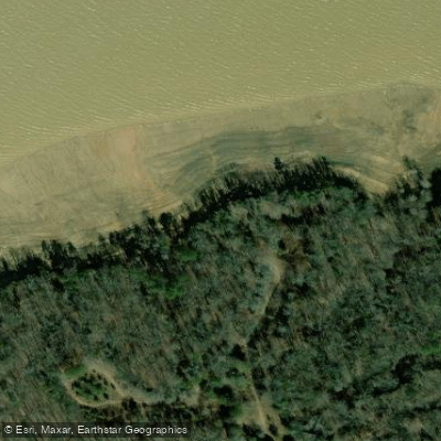
Black Jack Point Public Use Area Access
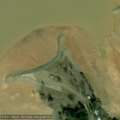
Coles Point Public Use Area Access
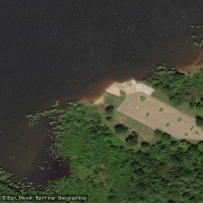
Coontown Crossing Public Use Area Access
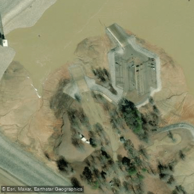
Engineer Point Public Use Area
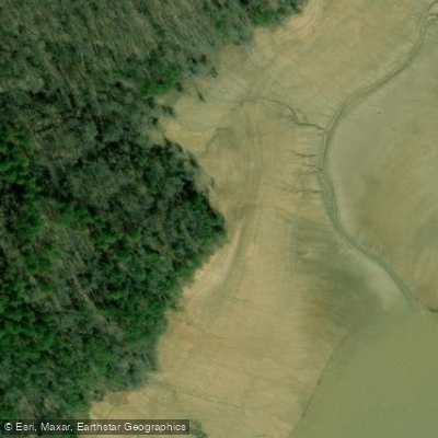
Lespideza Point Public Use Area Access
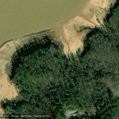
Pats Bluff Public Use Area Access
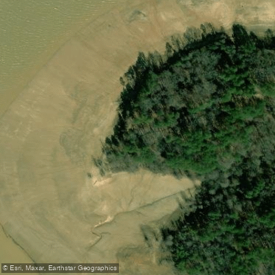
Thompson Creek Landing Public Use Area Access
Water and weather conditions (10 day forecast)
Check the forecast at Clear Creek Landing Public Use Area Access before you go fishing.
No forecast data available.
Fishing near Clear Creek Landing Public Use Area Access
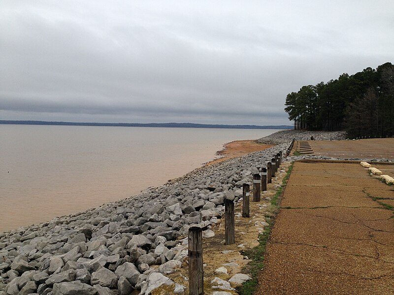
Sardis Lake
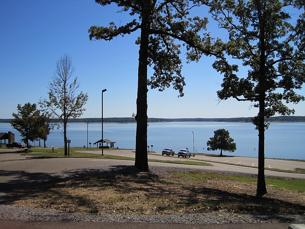
Enid Lake
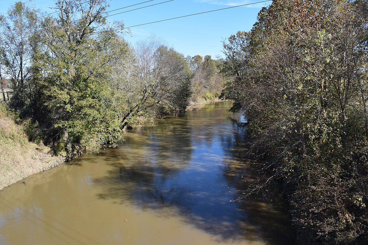
Yocona River
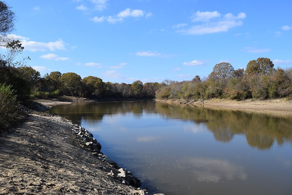
Little Tallahatchie River
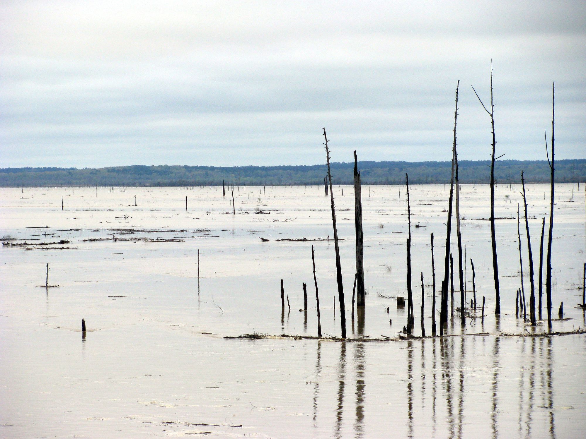
Grenada Lake
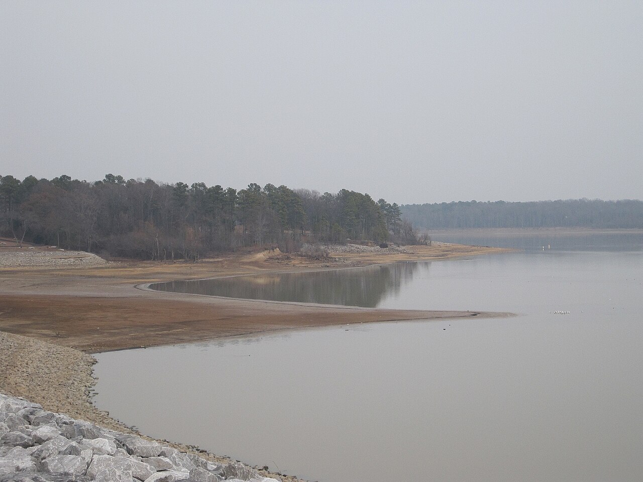
Arkabutla Lake
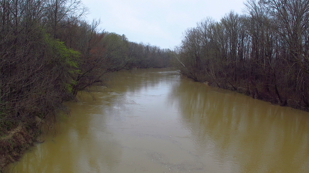
Yalobusha River
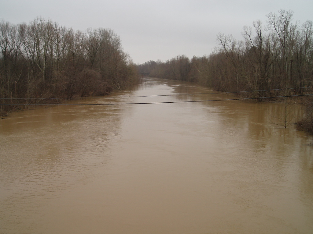
Coldwater River
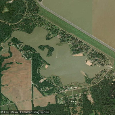
Lower Lake
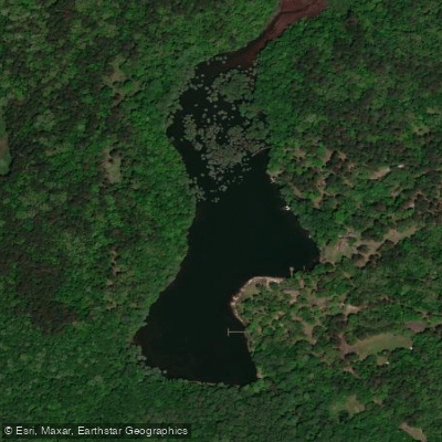
Spring Lake
Mississippi licenses and regulations
Explore Mississippi waters
Top fishing waters
No waters available right now.
Popular Cities
Loading popular cities...
Explore near Clear Creek Landing Public Use Area Access
On this water
Nearby spots
- Clear Creek Boat Ramp
- Coles Point Boat Ramp
- Coontown #1 Boat Ramp
- Engineer's Point #1 Boat Ramp
- Engineer's Point #2 Boat Ramp
- Lespedeza Point Boat Ramp
- Lespideza Point Public Use Area Boat Ramp
- Pats Bluff Boat Ramp
- Pats Bluff Public Use Area Boat Ramp
- Sardis Lake Marina Boat Ramp
- Black Jack Point Public Use Area Access
- Coles Point Public Use Area Access
- All 30 nearby spots
Nearby waters
More in Mississippi

Smarter Fishing Starts in the App.
onWater Fish gives you everything you need to plan smarter, fish better, and own every trip from first cast to last.