Mississippi River, South St. Paul Public Boat Ramp
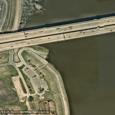
Mississippi River, South St. Paul Public Boat Ramp
This DNR-managed Level 1 facility features dual concrete ramps with a floating dock for simultaneous launching of two large watercraft, plus an ADA-accessible fishing platform.
The 15-acre site offers parking for up to 35 vehicles with trailers, overflow parking during peak times, picnic tables, restrooms, and natural area trails. Located at Verderosa Avenue and Highway 494, it operates 8 a. m. to 10 p. m. daily.
Nearby points of interest
Find excellent fishing spots, easy access to boat ramps, and all the amenities you need for a memorable day. Your adventure starts here.
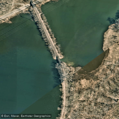
Bridge Trail Access
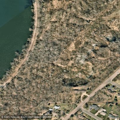
Bruce Vento Overlook Access Trail
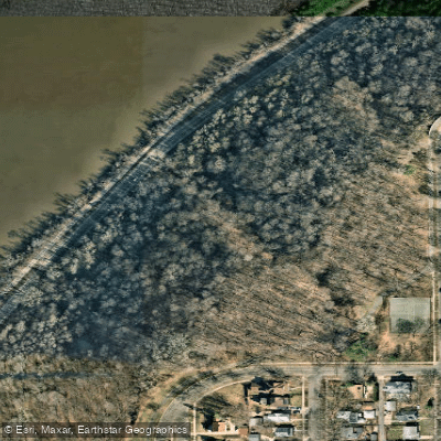
Cherokee Regional Park
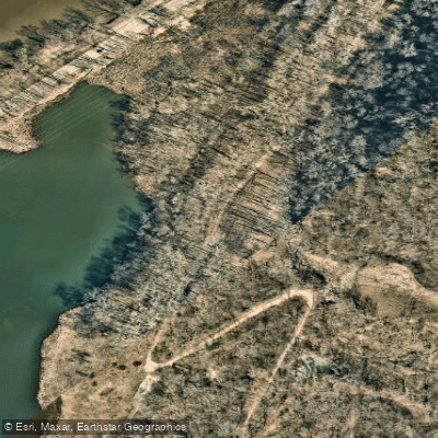
Echo Cave Trail Access
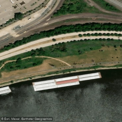
Lower Landing Park
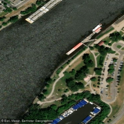
Mississippi River, Harriet Island Public Water Access Site
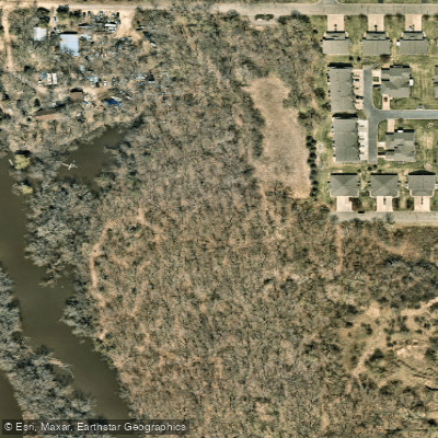
Riverside Park
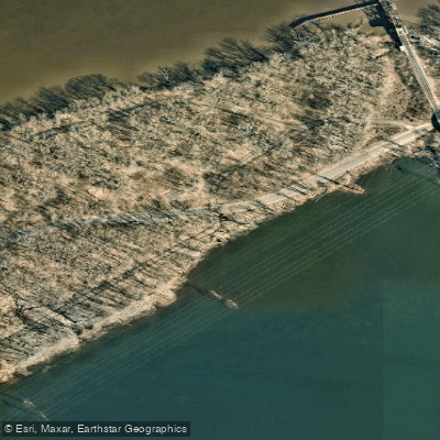
West Walter Street Access
Water and weather conditions (10 day forecast)
Check the forecast at Mississippi River, South St. Paul Public Boat Ramp before you go fishing.
No forecast data available.
Fishing near Mississippi River, South St. Paul Public Boat Ramp
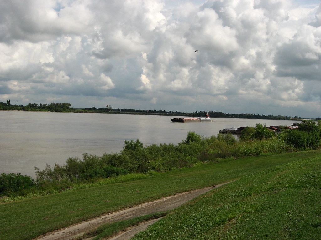
Mississippi River
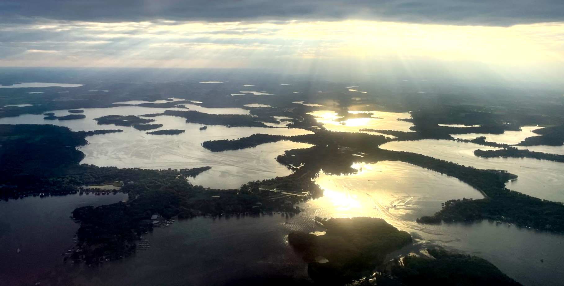
Lake Minnetonka
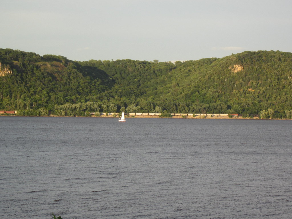
Lake Pepin
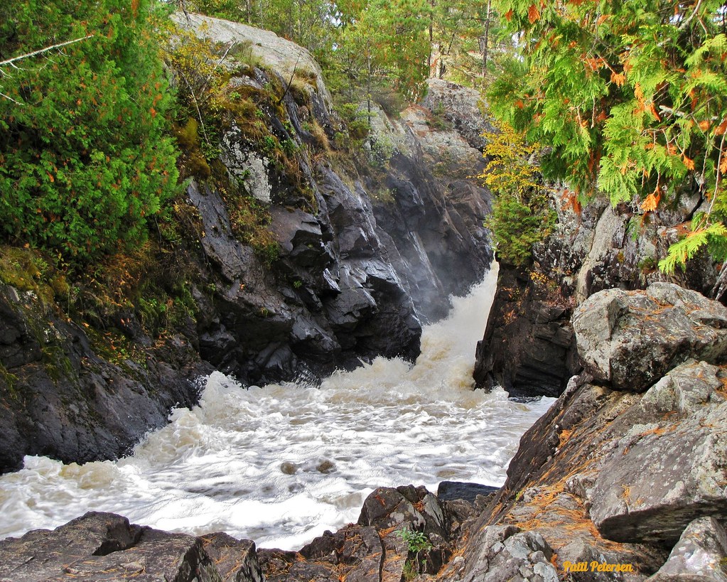
Vermillion River

Willow River
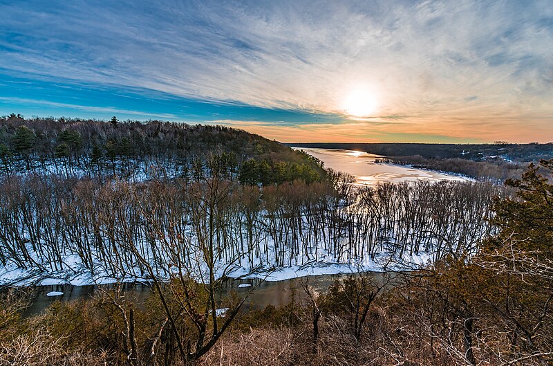
Kinnickinnic River
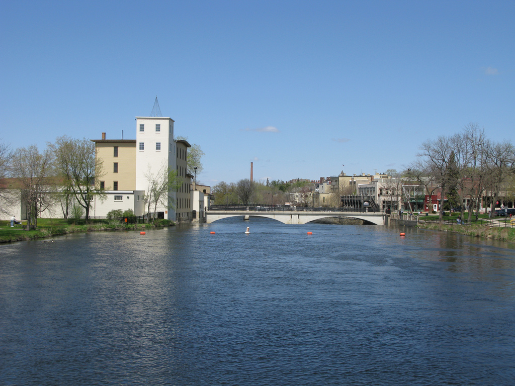
Cannon River
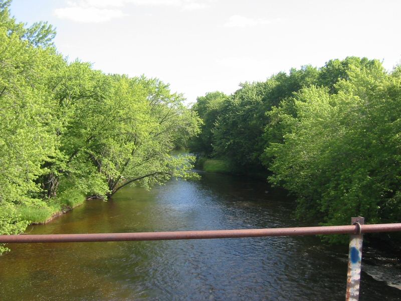
Rum River
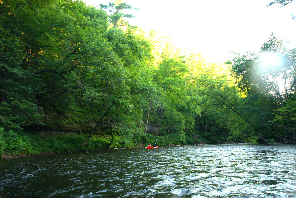
Apple River
Rice Creek
Minnesota licenses and regulations
Explore Minnesota waters
Top fishing waters
No waters available right now.
Popular Cities
Loading popular cities...
Explore near Mississippi River, South St. Paul Public Boat Ramp
Nearby spots
- Battle Creek Lake Boat Ramp
- Battle Creek Lake Public Water Access Site
- Mississippi River, Lion Levee Park Public Boat Ramp
- Tanners Lake Park Boat Ramp
- Tanners Lake Public Water Access Site
- Bridge Trail Access
- Bruce Vento Overlook Access Trail
- Cherokee Regional Park
- Echo Cave Trail Access
- Lower Landing Park
- Mississippi River, Harriet Island Public Water Access Site
- Riverside Park
- All 16 nearby spots
Nearby waters
More in Minnesota

Smarter Fishing Starts in the App.
onWater Fish gives you everything you need to plan smarter, fish better, and own every trip from first cast to last.