Mississippi River, Harriet Island Public Water Access Site
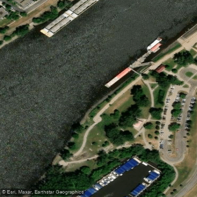
Mississippi River, Harriet Island Public Water Access Site
Harriet Island Public Water Access Site provides public access to the Mississippi River with a boat launch and marina facilities, making it an ideal starting point for paddling trips along the Mississippi River State Water Trail.
The site is located at a popular regional park featuring amenities including a public pier, Padelford Riverboats, picnic areas, and scenic views of downtown Saint Paul. A popular 6.
5-mile paddling segment runs from here to Hidden Falls Regional Park upstream, or visitors can extend trips further into Dakota or Washington Counties.
Nearby points of interest
Find excellent fishing spots, easy access to boat ramps, and all the amenities you need for a memorable day. Your adventure starts here.
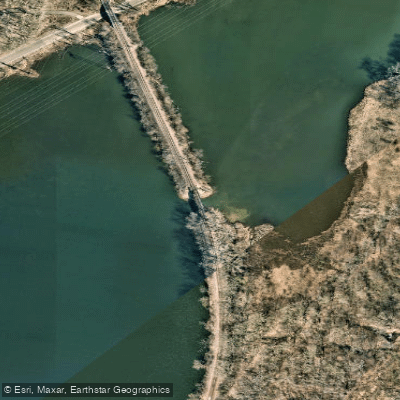
Bridge Trail Access
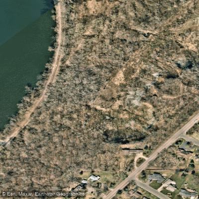
Bruce Vento Overlook Access Trail
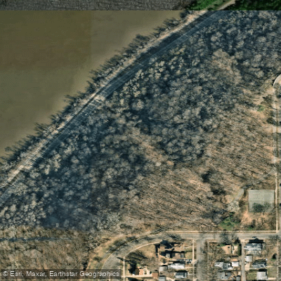
Cherokee Regional Park
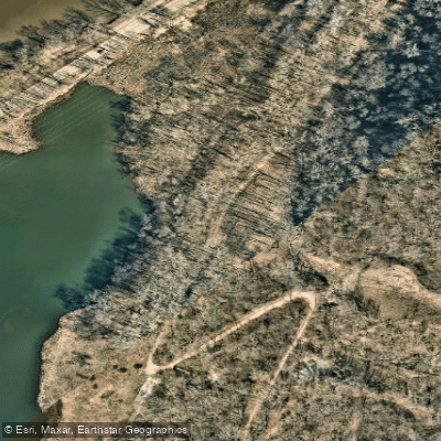
Echo Cave Trail Access
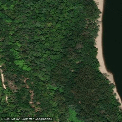
Fort Snelling State Park Access
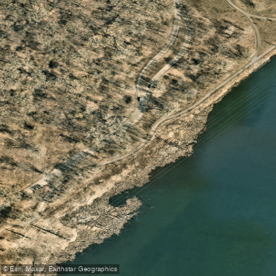
Lilydale Road Access
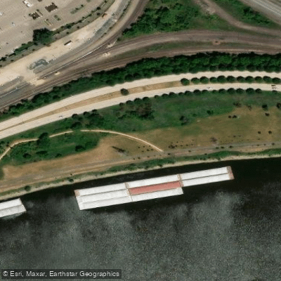
Lower Landing Park
Minnesota River, Fort Snelling Entrance Portage Public Water Access
Mississippi Gorge Regional Park
Rogers Lake Public Water Access
Water and weather conditions (10 day forecast)
Check the forecast at Mississippi River, Harriet Island Public Water Access Site before you go fishing.
No forecast data available.
Fishing near Mississippi River, Harriet Island Public Water Access Site
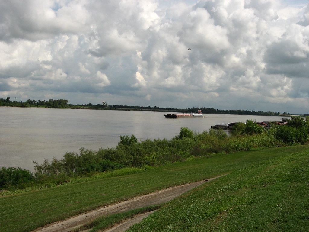
Mississippi River
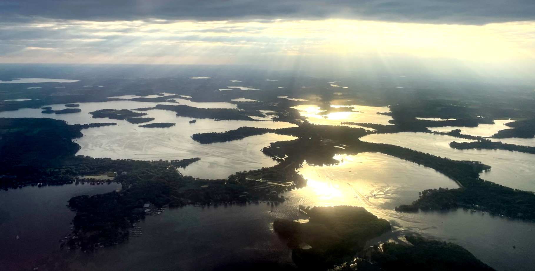
Lake Minnetonka
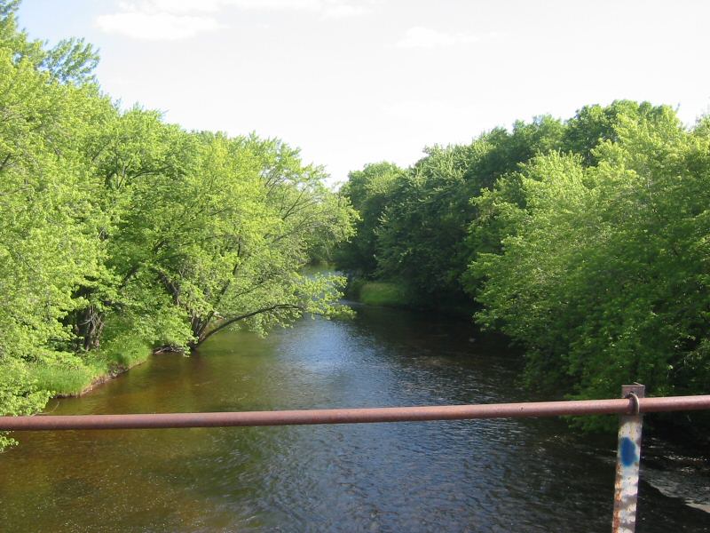
Rum River

Willow River
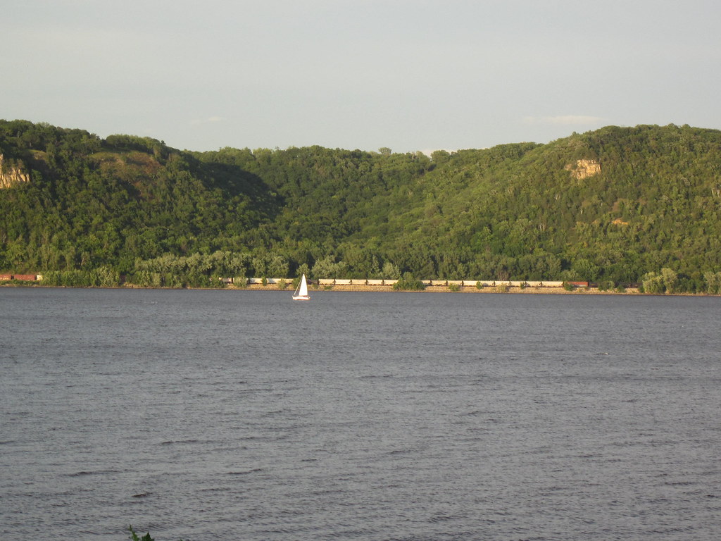
Lake Pepin
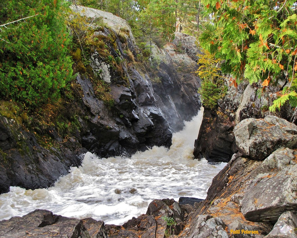
Vermillion River
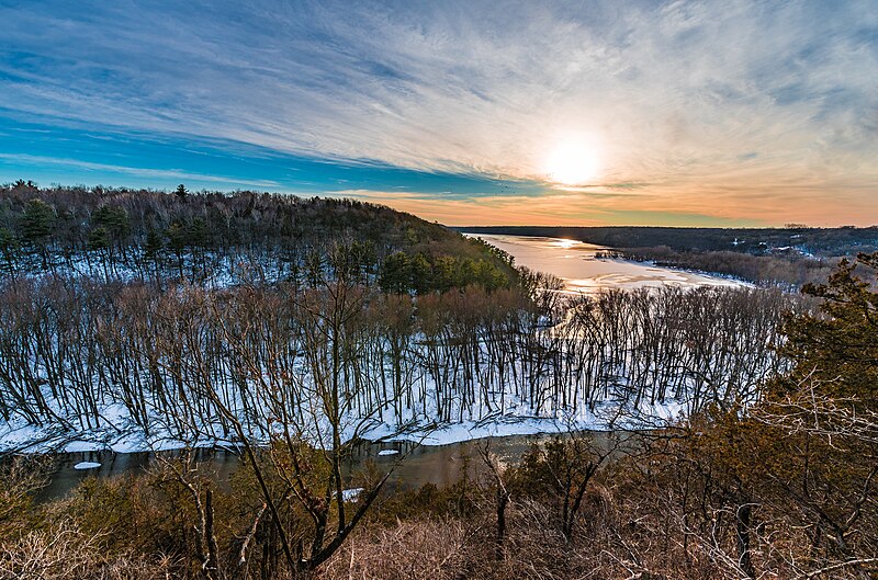
Kinnickinnic River
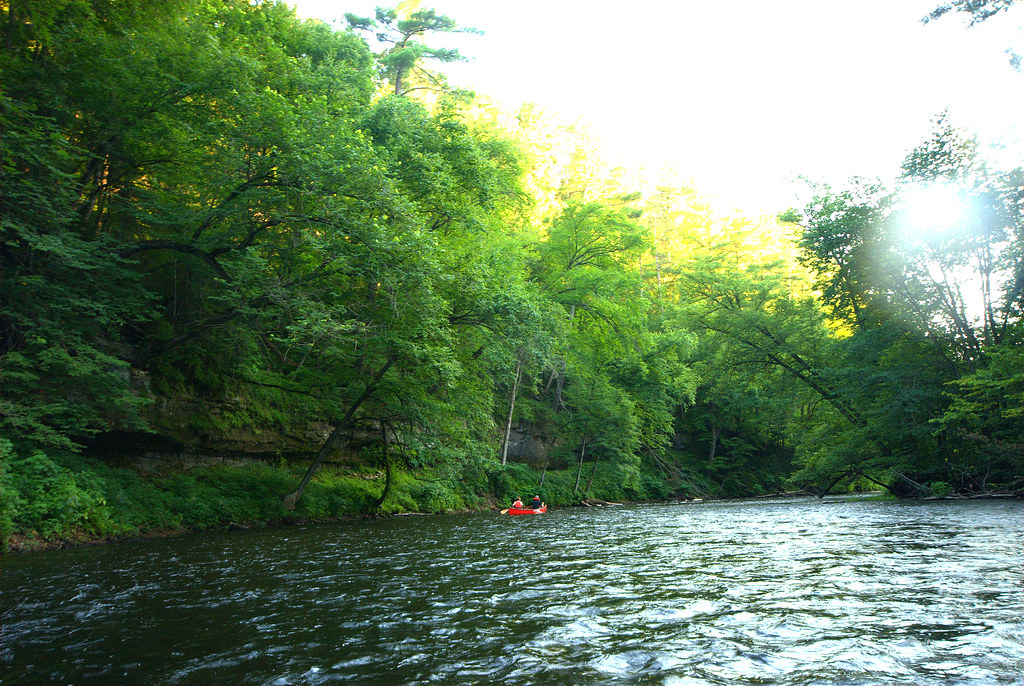
Apple River
Rice Creek
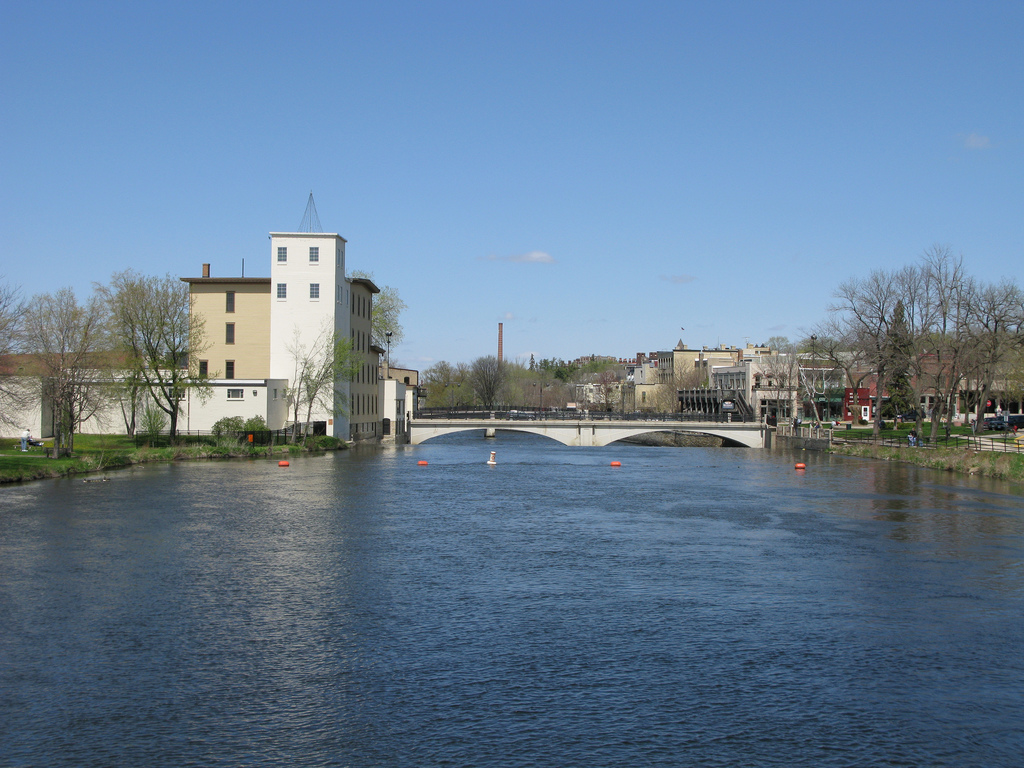
Cannon River
Minnesota licenses and regulations
Explore Minnesota waters
Top fishing waters
No waters available right now.
Popular Cities
Loading popular cities...
Explore near Mississippi River, Harriet Island Public Water Access Site
Nearby spots
- McCarrons Lake Boat Ramp
- McCarrons Lake Public Water Access Site
- Minnesota River, Fort Snelling Public Boat Ramp
- Mississippi River, Hidden Falls Public Boat Ramp
- Mississippi River, Lilydale Public Boat Ramp
- Mississippi River, South St. Paul Public Boat Ramp
- Phalen Lake Public Water Access Site
- Snelling Lake, Snelling SPK Public Hand Launch
- Bridge Trail Access
- Bruce Vento Overlook Access Trail
- Cherokee Regional Park
- Echo Cave Trail Access
- All 21 nearby spots
Nearby waters
More in Minnesota

Smarter Fishing Starts in the App.
onWater Fish gives you everything you need to plan smarter, fish better, and own every trip from first cast to last.