Hodenpyl Dam Pond
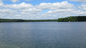
Hodenpyl Dam Pond
- Boat Ramps
- 0
- Access Points
- 2
- Species
- 20
Hodenpyl Dam Pond is a 2,025-acre impoundment on the Manistee River near Mesick in northwestern Wexford County, Michigan. Created in 1924-1925 when Hodenpyl Dam was constructed, this water body stretches approximately four and a half miles long and features depths up to 60 feet. The terrain surrounding the pond is characterized by hilly mixed hardwoods and conifers, with Briar Hill, the second-highest elevation in Michigan's lower peninsula, located about five miles east. The pond's physical nature is defined by the old Manistee River channel, with deeper portions following this channel. Bottom types consist mainly of sand, organic muck in the coves, and some gravel. The pond contains abundant submerged stumps and woody debris that provide excellent fish cover but can present navigational hazards. With substantially less shoreline development than typical Michigan lakes, Hodenpyl Dam Pond offers anglers a more natural and pristine fishing experience.
Species & education
Learn what type of fish are at Hodenpyl Dam Pond and what's needed to catch them.

Find which waters have the species you want to catch

Largemouth Bass
Micropterus salmoides

Smallmouth Bass
Micropterus dolomieu

Brown Trout
Salmo trutta
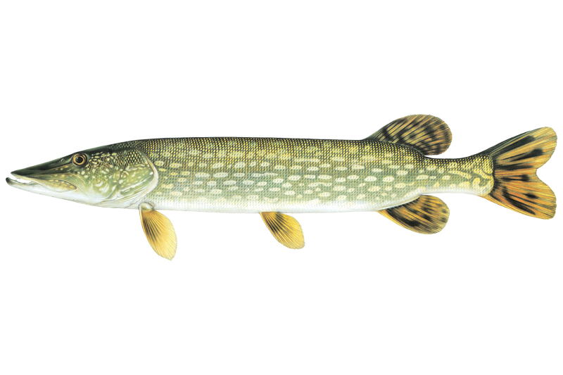
Northern Pike
Esox lucius
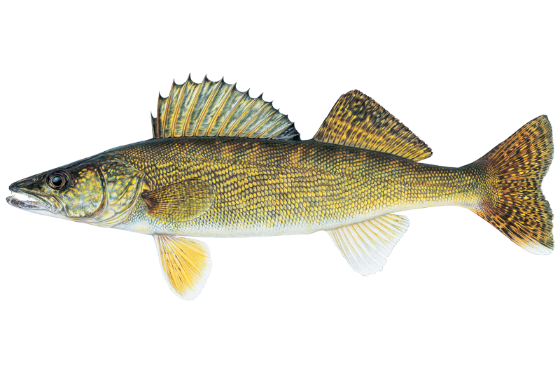
Walleye
Sander vitreus

Black Crappie
Pomoxis nigromaculatus

Black Bullhead
Ameiurus melas

Bluegill Sunfish
Lepomis macrochirus

Brown Bullhead
Ameiurus nebulosus

Channel Catfish
Ictalurus punctatus

Common Carp
Cyprinus carpio

Pink Salmon
Oncorhynchus gorbuscha
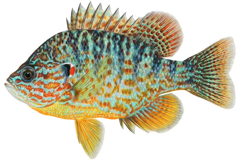
Pumpkinseed
Lepomis gibbosus

Rock Bass
Ambloplites rupestris
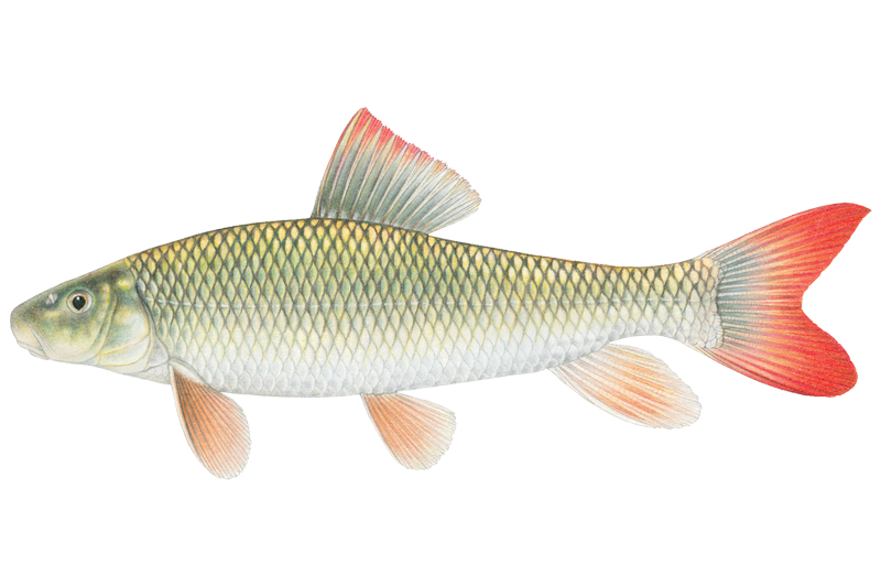
Shorthead Redhorse Sucker
Moxostoma macrolepidotum
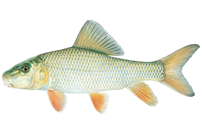
Silver Redhorse
Moxostoma anisurum

White Sucker
Catostomus commersonii

Yellow Bass
Morone mississippiensis

Yellow Bullhead
Ameiurus natalis

Yellow Perch
Perca flavescens
Fish stocking schedule
Latest 5 stockings
- Walleye104,449 fish · 1.6 inJun 25, 2025
- Walleye89,040 fish · 1.8 inJun 22, 2023
- Walleye13,647 fish · 1.3 inJun 12, 2023
- Walleye99,658 fish · 1.2 inJun 2, 2021
- Walleye107,449 fish · 2.3 inJun 21, 2018
Source
Michigan Department of Natural Resources
Updated Nov 13, 2026. Sizes are the length the agency reports. Dates are as precise as the agency reports them.
Open stocking page, opens in new tabFishing spots, boat ramps & amenities
Learn how to get on Hodenpyl Dam Pond. Uncover great fishing access points, boat ramps, and all the facilities you need for an unforgettable day on the water. Some locations shown may border or include private property. Always check property boundaries and applicable regulations before visiting. onWater's Public & Private Land layer can help you plan your access with confidence.
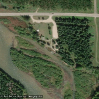
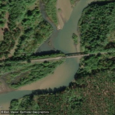
Know where you can legally fish on Hodenpyl Dam Pond
See public and private land boundaries along the water, turn on private parcels with owner details to know where permission is required, and find land-trust parcels that offer permitted fishing access.
Michigan licenses and regulations

Michigan Boating Regulations
When using any type of watercraft to access a body of water, it is important to follow all federal, state, and local rules and regulations. These rules and regulations include boat permitting and licensing, invasive species inspections and stamps, life jacket and PFD rules, motor size and horsepower restrictions, noise limitations, restrictions on personal watercraft, and many more. Visit the web link below for the most current rules and regulations for this body of water.

Michigan Fishing License
You must purchase a fishing license if you are 17 years of age or older to fish. If you are under 17, you may fish without a license, but you are required to observe all fishing rules and regulations. Any adult actively assisting a minor who does not have a license must have a fishing license. Please note, a license is required when targeting fish, amphibians, crustaceans and reptiles. Michigan's annual fishing license is valid from March 1 of a given year through March 31 of the following year.

Michigan Fishing Regulations
This river has a variety of species and regulations, including potential floating and/or watercraft restrictions. Because this river is specially managed for species, seasons, angling methods, and watercraft, it is strongly encouraged you check all federal, state, and local regulations before fishing. Visit any of the links below, inquire locally, or contact a local fly shop to learn current regulations and restrictions.

Michigan Stream Access Laws
The public has a right to use a waterway for pleasure, travel, or commercial navigation. The right extends to wading on the streambed or traveling on ice. While constant movement is not required, neither can a vessel be permanently moored or use the waterway as a parking spot. The riparian owner (the owner of the land along the water) owns the streambed, but that right is subordinate to the right of navigation. On non-navigable waters the riparian owner has the right to fish and can exclude the public from fishing on such waters. But on navigable waters, the rights of the private owners are inferior to the public trust right to fish the waters.
Take Hodenpyl Dam Pond with you
The onWater Fish app keeps this water's access points, species and conditions in your pocket, with the tools you use once you're there.
Use the map without signal
Download the map around Hodenpyl Dam Pond to use it offline when coverage drops.
Log your catches here
Keep a private fishing journal for Hodenpyl Dam Pond to find where and when fish are biting for you.
HD depth charts from Garmin
Find drop offs, ledges, channels, points and shallow flats with Garmin depth charts in the app.
Get the onWater Fish app
Free on iOS and Android
Water and weather conditions (10 day forecast)
See the best times to fish Hodenpyl Dam Pond and check the forecast before you go.
MANISTEE RIVER NEAR MESICK, MI
Fishing near Hodenpyl Dam Pond
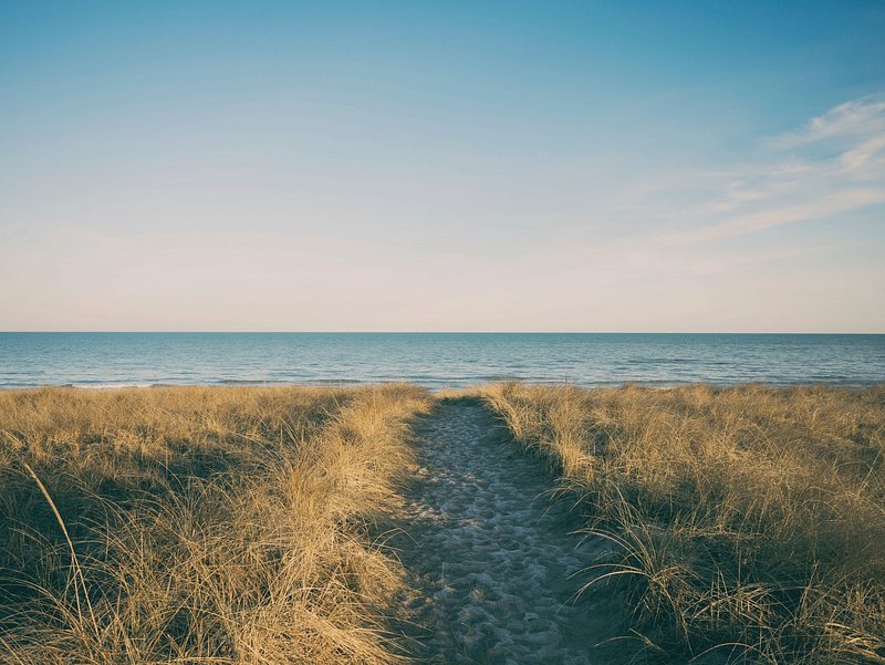
Lake Michigan
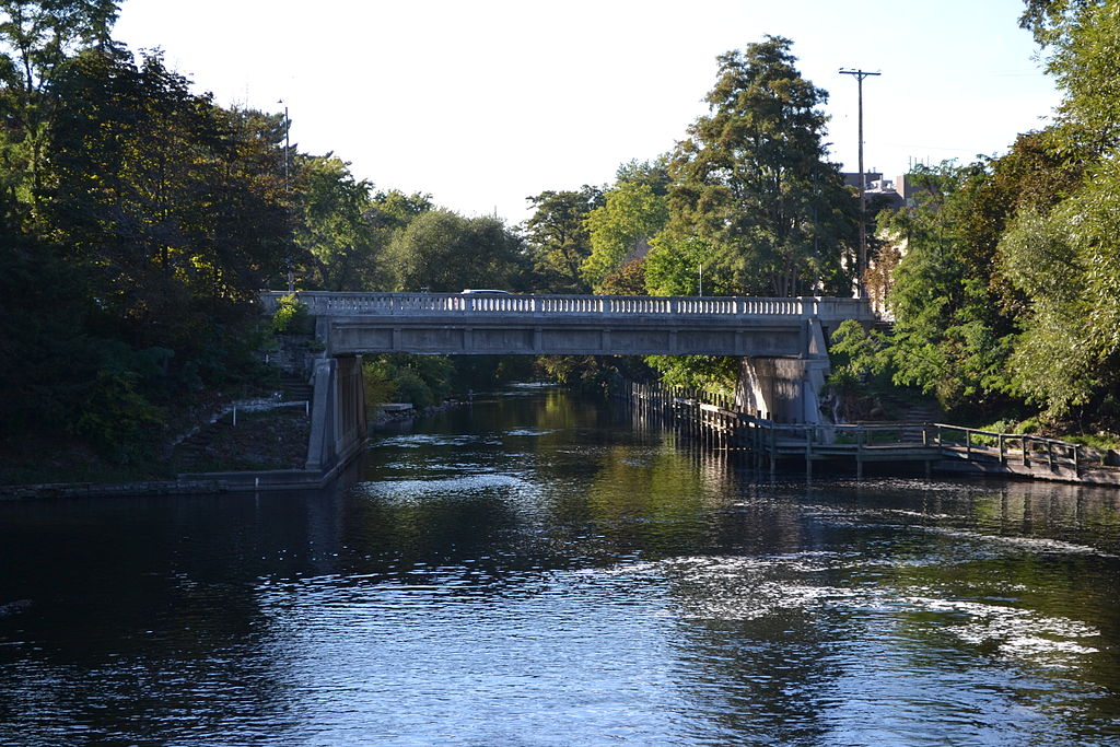
Boardman River
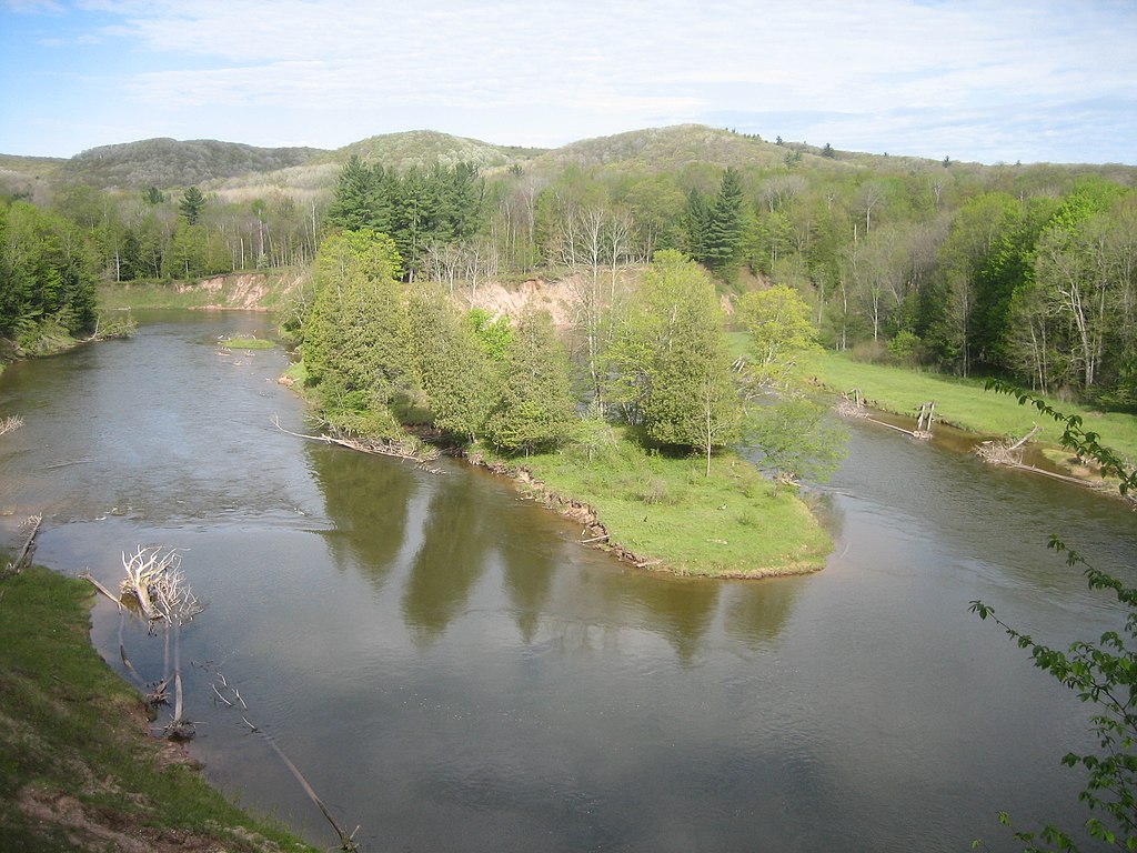
Manistee River
Betsie River
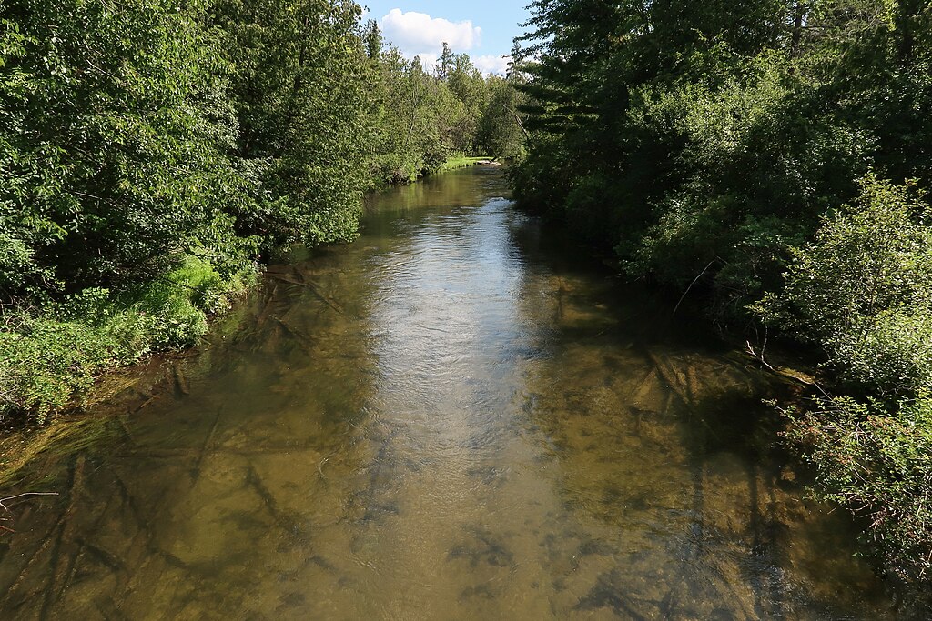
Jordan River
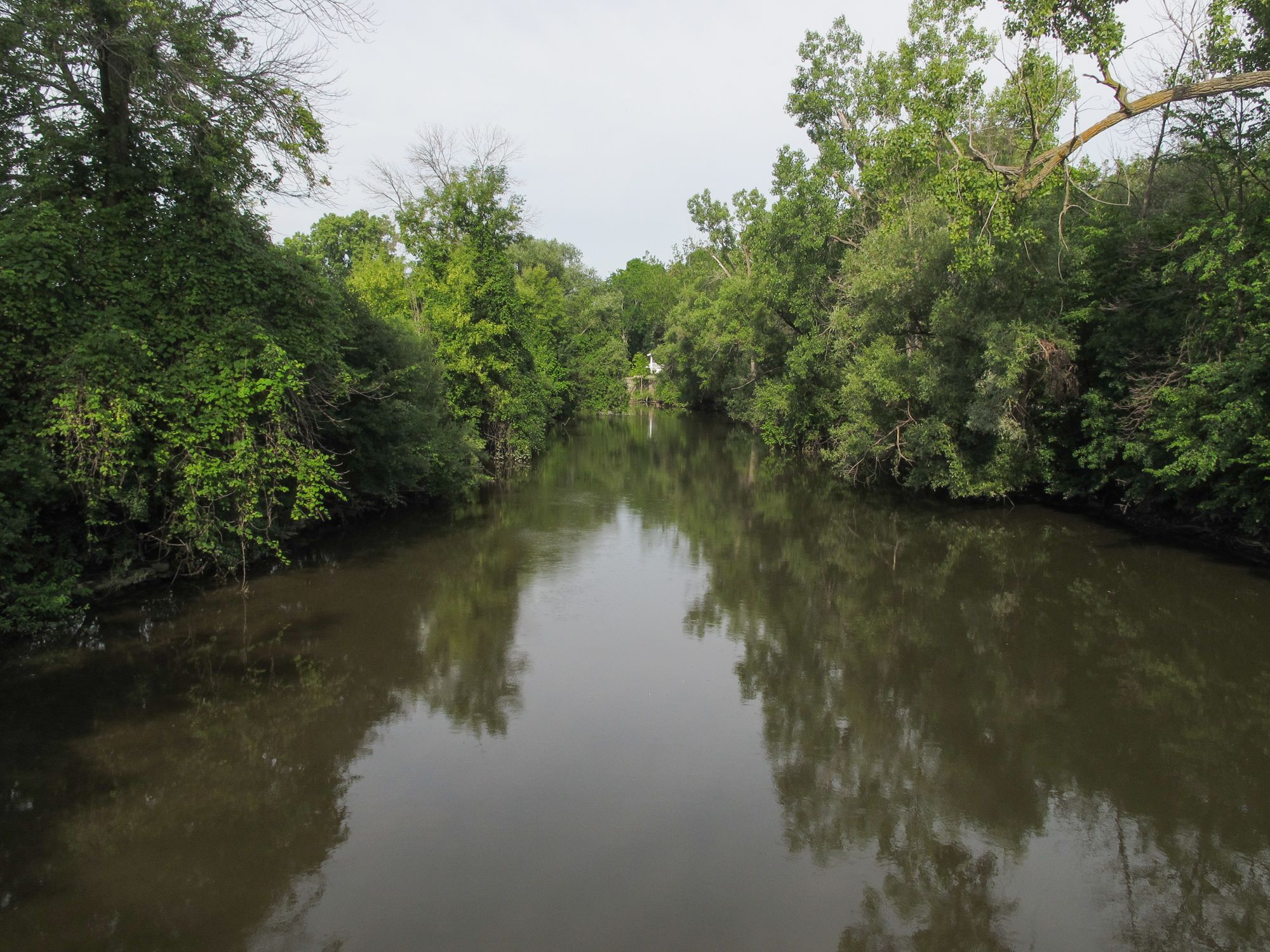
Pine River
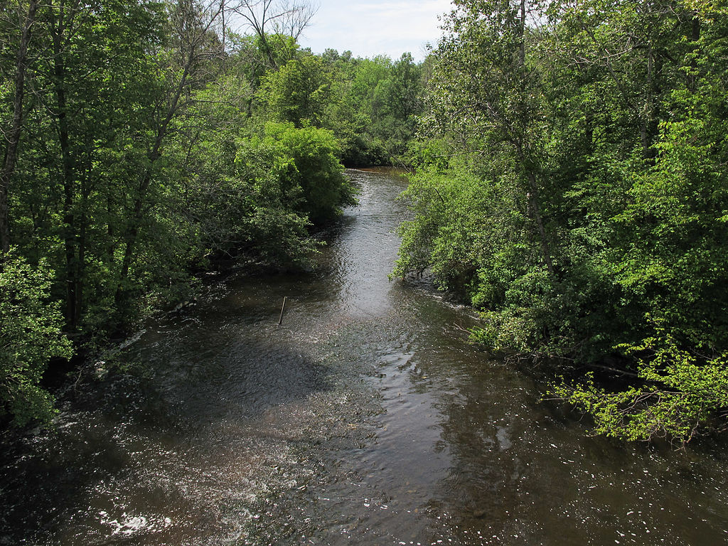
Muskegon River
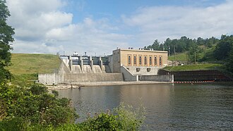
Tippy Dam
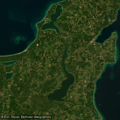
Lake Leelanau
Explore Michigan waters
Top fishing waters
Popular Cities
Loading popular cities...
Explore near Hodenpyl Dam Pond
Fish species
Fishing spots
- Veterans Memorial Community Park Fishing Access Site
- Bestie Valley Foot Trail Fishing Access Site
- Manistee River Bridge
- Manistee River Bridge
- Wheeler Creek Bridge
- Slagle Creek Bridge
- Slagle Creek Bridge
- Manistee River Bridge
- Arquilla Creek Bridge
- Northern Exposure Campground
- Seaton Creek Campground
- Pat's RV Park
- All 13 spots
Nearby waters
More in Michigan

Smarter Fishing Starts in the App.
onWater Fish gives you everything you need to plan smarter, fish better, and own every trip from first cast to last.