Chincoteague Bay

  • Saltwater
  • Bay
Sq. miles
130
Boat Ramps
7
Access Points
1
Species
31

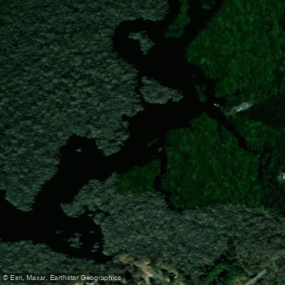
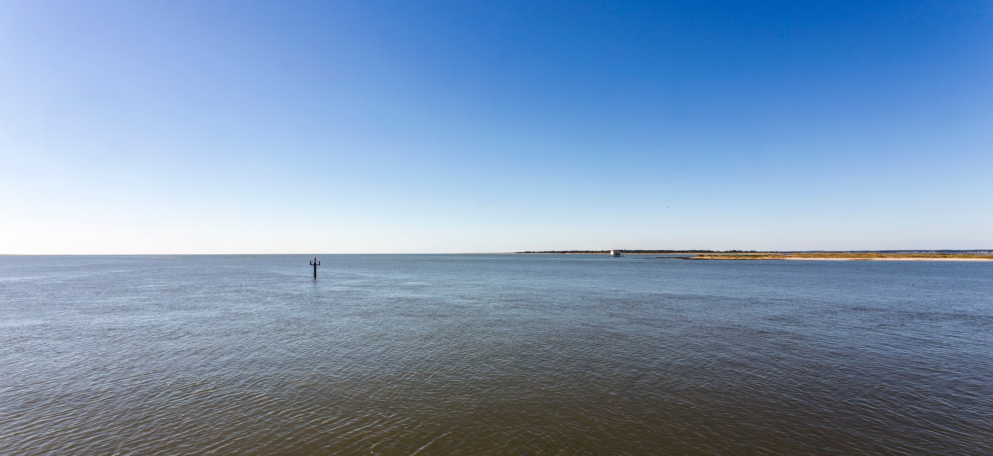
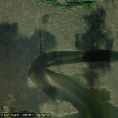
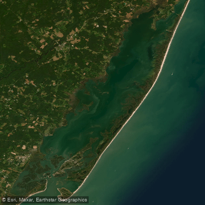
Chincoteague Bay is the largest body of water within Maryland's Coastal Bays system, covering approximately 72.6 square miles or 46,483 acres. This expansive, shallow bay is a polyhaline estuary, meaning it maintains a consistently high salinity level, which supports a robust inshore saltwater fishery. The bay's waters are bordered by both Worcester County, Maryland, and Accomack County, Virginia, offering extensive opportunities for recreational angling from both shore and boat. Its protected waters provide a haven from ocean swells, making it a popular destination for family fishing trips, crabbing, and targeting a variety of popular sportfish throughout the year.

Fishing spots, boat ramps & amenities

Learn how to get on Chincoteague Bay. Uncover great fishing access points, boat ramps, and all the facilities you need for an unforgettable day on the water. Some locations shown may border or include private property. Always check property boundaries and applicable regulations before visiting. onWater's Public & Private Land layer can help you plan your access with confidence.

Know where you can legally fish on Chincoteague Bay

See public and private land boundaries along the water, turn on private parcels with owner details to know where permission is required, and find land-trust parcels that offer permitted fishing access.

Recreational permits for Chincoteague Bay

What you need to float or boat Chincoteague Bay, and when to apply.

Assateague backcountry camping permit

Assateague bayside campsites

Registration · Overnight trips · Required year-round

Paddlers camping at Assateague's bayside canoe-in sites need a backcountry permit, bought in person at the Maryland ranger station.

Checked Nov 4, 2026 with Assateague Island National Seashore

Maryland licenses and regulations

Maryland Boating Regulations

When using any type of watercraft to access a body of water, it is important to follow all federal, state, and local rules and regulations. These rules and regulations include boat permitting and licensing, invasive species inspections and stamps, life jacket and PFD rules, motor size and horsepower restrictions, noise limitations, restrictions on personal watercraft, and many more. Visit the web link below for the most current rules and regulations for this body of water.

Learn more, opens in new tab

Maryland Coastal & Inland Waters

Maryland splits its waters into tidal and non-tidal zones for licensing purposes, and the two require different licenses from the Department of Natural Resources. The Chesapeake Bay and Coastal Sport Fishing License covers tidal waters including the Bay, coastal bays, and their tributaries, while a separate Non-Tidal Sport Fishing License covers freshwater and non-tidal rivers. Some shared waters like the tidal Potomac River fall under tidal rules.

Learn more, opens in new tab

Maryland Federal Waters & Offshore Rules

Beyond 3 nautical miles from shore, federal waters are managed by NOAA Fisheries in partnership with regional fishery management councils, and state rules no longer apply. Anglers targeting Atlantic highly migratory species such as tuna, billfish, swordfish, or sharks must hold a valid federal Atlantic HMS permit issued by NOAA Fisheries regardless of where they depart from. HMS permit holders are also required to report certain catches electronically to NOAA within 24 hours of completing a trip.

Learn more, opens in new tab

Maryland Saltwater Fishing License

Most anglers fishing the Chesapeake Bay, coastal bays, or tidal waters need a Chesapeake Bay and Coastal Sport Fishing License issued by the Maryland Department of Natural Resources. Anglers under 16 are exempt, and those not required to hold the license who still want to fish tidal waters must register through the free Saltwater Angler Registry instead. Passengers on licensed for-hire trips are covered by the vessel.

Learn more, opens in new tab

Maryland Saltwater Size & Bag Limits

Size limits, seasons, and daily bag limits apply per species in Maryland's Atlantic and coastal bay waters and are set by the Maryland Department of Natural Resources. Limits change through the year and vary by species, including striped bass, black sea bass, cobia, bluefish, and red drum. The current table is maintained on the DNR regulations page.

Learn more, opens in new tab

Maryland Shellfish Closures & Advisories

Maryland residents need a Recreational Oyster License from the Department of Natural Resources to harvest oysters, and a license is also required for clam harvest. Harvesting areas are classified as approved, conditionally approved, or restricted by the Maryland Department of the Environment, and areas close based on water quality, rainfall, or contamination. Check current closures and consumption advisories through the MDE shellfish map or call the MDE hotline at 800-541-1210.

Learn more, opens in new tab

Take Chincoteague Bay with you

The onWater Fish app keeps this water's access points, species and conditions in your pocket, with the tools you use once you're there.

  • Use the map without signal

    Download the map around Chincoteague Bay to use it offline when coverage drops.

  • Log your catches here

    Keep a private fishing journal for Chincoteague Bay to find where and when fish are biting for you.

Get the onWater Fish app

Free on iOS and Android

Tides, wind & water conditions (10 day forecast)

On open water, wind and tide matter as much as the weather. See the best times to fish Chincoteague Bay and check the marine forecast before you launch.

Loading tide predictions…


Smarter Fishing Starts in the App.

onWater Fish gives you everything you need to plan smarter, fish better, and own every trip from first cast to last.