Swinging Bridge - Chattahoochee-Oconee National Forest
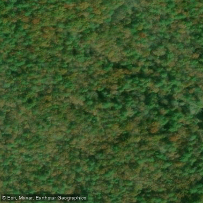
Swinging Bridge - Chattahoochee-Oconee National Forest
The Swinging Bridge is a 270-foot suspension bridge—the longest east of the Mississippi River—that provides river access for hikers and paddlers on the Toccoa River in Fannin County.
Located on the Benton MacKaye Trail and Duncan Ridge National Recreation Trail, it offers a short, accessible walk (approximately 0. 5 miles round trip) from a free USFS parking area accessed via rough gravel road (FS 816).
The bridge connects to trails on both sides of the river and is popular with day-hikers, thru-hikers, and paddlers navigating the Toccoa River Canoe Trail.
Nearby points of interest
Find excellent fishing spots, easy access to boat ramps, and all the amenities you need for a memorable day. Your adventure starts here.
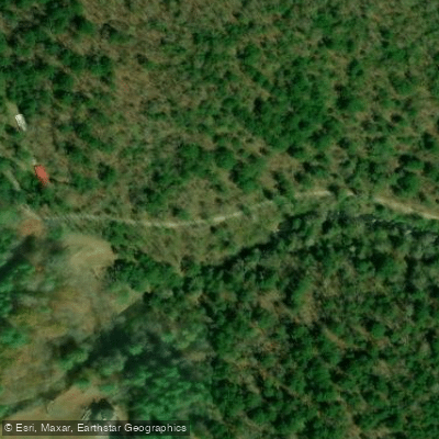
Coopers Creek Road access
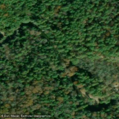
Deep Hole Recreation Area Access
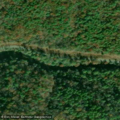
Dial Rd Access - Chattahoochee-Oconee National Forest
Noontootla Creek Access
Rock Creek Access
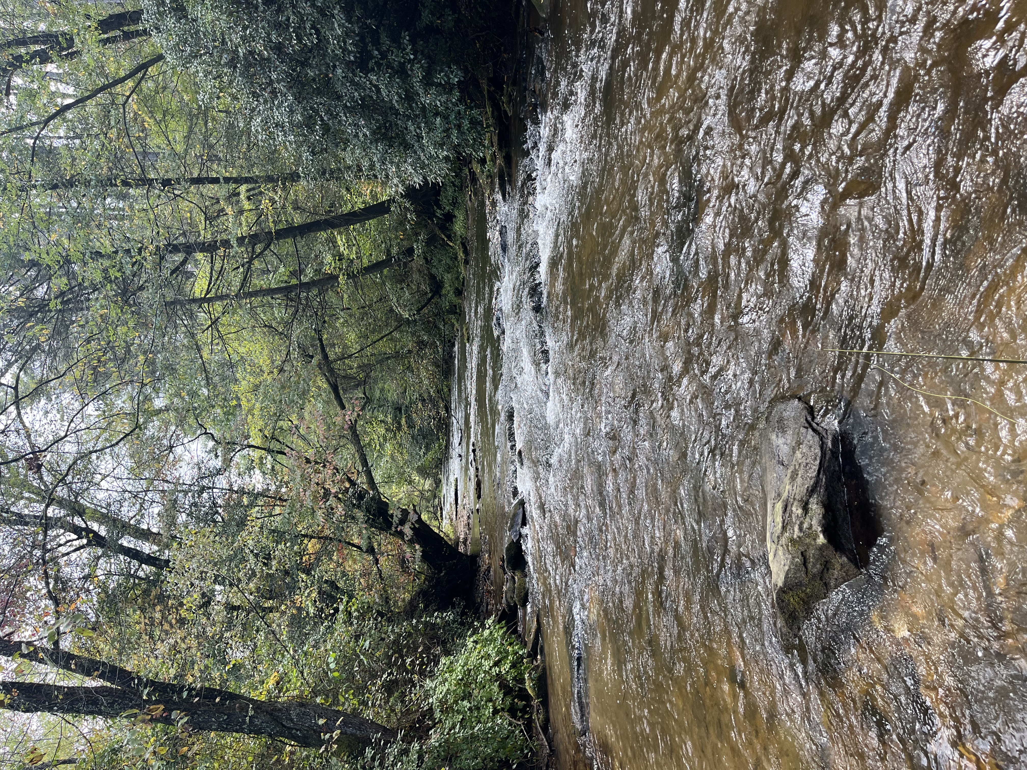
Rock Creek Lake Access
Tilley Bend - Chattahoochee-Oconee National Forest
Toccoa River Sandy Bottoms Recreation Area - Chattahoochee-Oconee National Forest
Water and weather conditions (10 day forecast)
Check the forecast at Swinging Bridge - Chattahoochee-Oconee National Forest before you go fishing.
No forecast data available.
Fishing near Swinging Bridge - Chattahoochee-Oconee National Forest
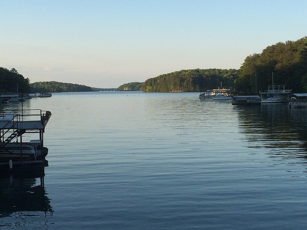
Lake Sidney Lanier
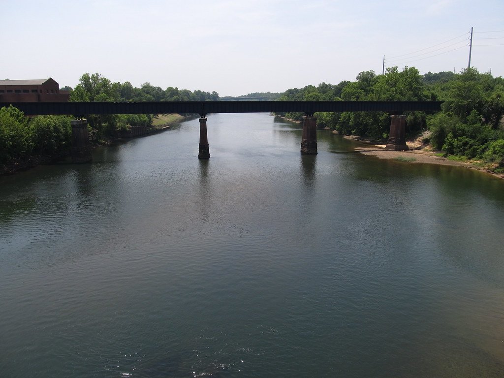
Chattahoochee River
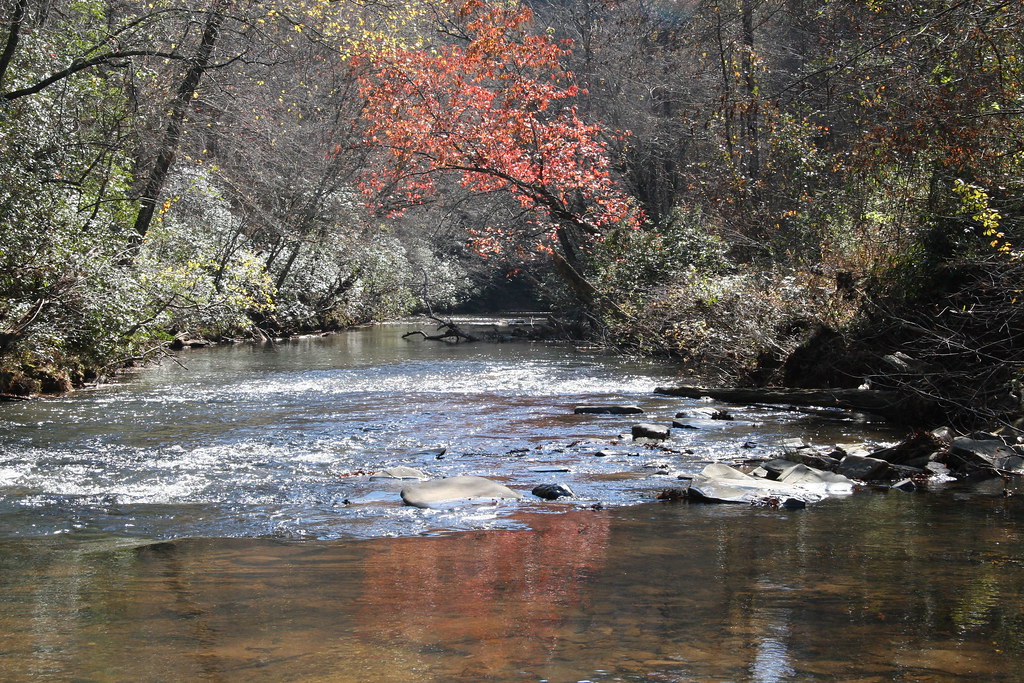
Etowah River
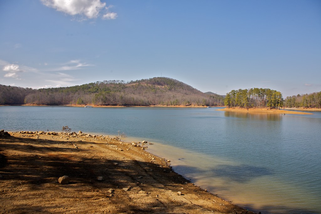
Allatoona Lake
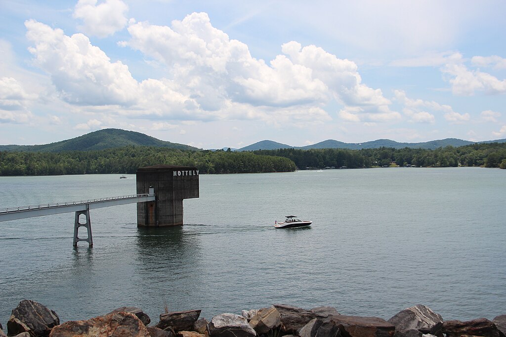
Nottely Lake
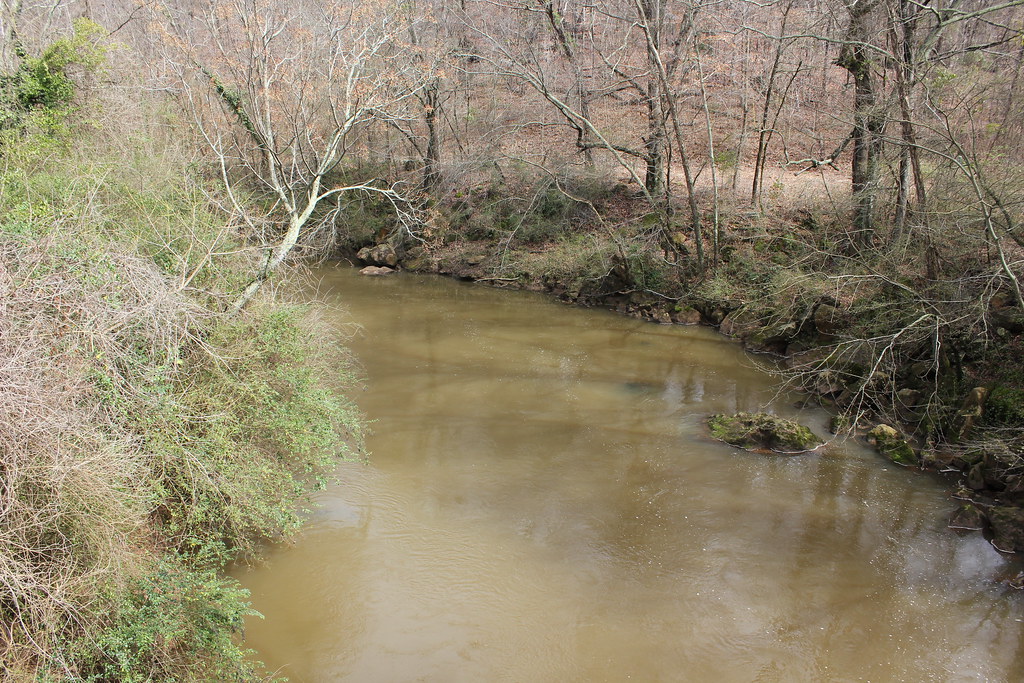
Oconee River
Toccoa River
Nottely River
Cooper Creek

Little Tennessee River
Georgia licenses and regulations
Explore Georgia waters
Top fishing waters
No waters available right now.
Popular Cities
Loading popular cities...
Explore near Swinging Bridge - Chattahoochee-Oconee National Forest
Nearby spots
- Sandy Bottom Canoe Launch
- Coopers Creek Road access
- Deep Hole Recreation Area Access
- Dial Rd Access - Chattahoochee-Oconee National Forest
- Noontootla Creek Access
- Rock Creek Access
- Rock Creek Lake Access
- Tilley Bend - Chattahoochee-Oconee National Forest
- Toccoa River Sandy Bottoms Recreation Area - Chattahoochee-Oconee National Forest
- Deep Hole Recreation Area Campsite
- Frank Gross Recreation Area Campsite
- Frank Gross Recreation Area - Chattahoochee-Oconee National Forest
- All 14 nearby spots
Nearby waters
More in Georgia

Smarter Fishing Starts in the App.
onWater Fish gives you everything you need to plan smarter, fish better, and own every trip from first cast to last.